
Inveresk is a large Antonine-period fort with a civilian settlement, cavalry evidence and Britain’s earliest dated Mithraeum, making it one of Scotland’s richest Roman military landscapes.
Beneath and around St Michael’s Church at Inveresk lies a Roman fort whose archaeology extends well beyond its ramparts. Excavations have revealed a civilian settlement, burials, horse equipment and a Mithraeum, bringing an Antonine garrison’s religious and social world into focus.
The site’s largest discoveries came from work prompted by modern infrastructure and healthcare construction. They show that the fort was not an isolated military enclosure but a place connected to local people, mobile soldiers and a substantial settlement outside its eastern side.
The fort covered 2.7 hectares, which puts it at the larger end of the range of fort sizes. For that reason the original excavator, Ian Richmond, believed a cavalry regiment had been stationed here. A Roman tombstone found at nearby Carberry in 2007 depicts a governor’s guard cavalry trooper named Crescens, who may have been living at the fort when he died.
All the datable artefacts point to Antonine occupation, so the fort is thought to have been established in the immediate aftermath of the invasion of Scotland launched by Antoninus Pius in AD 139 or 140. Two clear phases of occupation have been identified archaeologically, perhaps reflecting a change of garrison during the period. The fort would have been abandoned along with the other Scottish sites around AD 160, when Hadrian’s Wall was recommissioned. A substantial civil settlement lay outside the east rampart, including a curving structure thought to be an amphitheatre.
Excavation in 2010, in the civilian part of the site, partly uncovered a Mithraeum — the earliest dated example so far found in Scotland, and the earliest dated in Britain. Two large sandstone altars were recovered and are now in the National Museum of Scotland; they date to around AD 140, when southern Scotland was reoccupied by Antoninus Pius. One was dedicated to Mithras and the other to Sol, both by a Roman centurion recorded as Gaius Cassius Fla.
Several seasons of excavation since 1946 have established the outline of the fort and recovered some of the interior detail. Work by Headland Archaeology in 2004, during renewal of the village water mains, produced Roman artefacts and possibly a boundary ditch along with evidence of the civil settlement.
In 2010 CFA Archaeology excavated an area 50 metres north of and below the fort, ahead of the construction of the Musselburgh Primary Health Care Centre. They found a Mesolithic scatter of stone tools and Iron Age burials predating the fort, dated to between 50 BC and AD 130 — just before it was built — with isotope analysis showing that those individuals were all local to the Musselburgh area.
The same excavation produced Roman remains: six human burials, four of them decapitated, and one horse burial. There was evidence that a Roman fortlet had been built and that a field system was laid out at some point to grow food, possibly for the fort. The area also served as a midden, and a significant number of discarded personal possessions were recovered, including samian bowls with personal names scratched into their bases. Those names, together with the isotope analysis of the skeletons, show that the people living in the fort came from multiple ethnic origins, and suggest there may have been a group of soldiers from Thrace among them. The large quantity of horse equipment recovered led the archaeologists to conclude that the theory of a cavalry unit being stationed here is likely correct.
What follows is drawn from published sources, with each claim labelled by how firmly it is established.
The name
The forts Roman name is unknown. It has been suggested that Inveresk was Ptolemys Curia or Coria, while the Ravenna Cosmography may name it Evidensca.
History
Inveresk Roman Fort lies in the grounds of St Michael’s Church and covered 6.6 acres, placing it among the larger Roman forts. Its scale led excavator Ian Richmond to suggest that a cavalry regiment had been stationed there. A tombstone found at nearby Carberry in 2007 depicts Crescens, a cavalry trooper of a Roman governor’s guard who may have lived at the fort.
All datable artefacts indicate Antonine occupation after the AD 139–140 invasion, with two archaeological phases possibly reflecting a garrison change. The fort was abandoned around AD 160 when Hadrian’s Wall was recommissioned. Outside its eastern rampart, a substantial vicus included a curving structure interpreted as an amphitheatre.
Excavation in 2010 partly uncovered a Mithraeum in the civilian settlement, the earliest dated example known in Scotland and Britain. Two large sandstone altars, now in the National Museum of Scotland, were dedicated to Mithras and Sol around AD 140 by a centurion. The same work found Roman burials, a horse burial, fortlet traces, field systems and personal items from a multi-origin community.
People
-
Ian Richmond
The original excavator, who proposed that Inveresks size indicated a cavalry regiment.
Cultural influences
-
The fort was founded in the Antonine reconquest of southern Scotland around AD 139 or 140, shaping the military landscape at Inveresk for the following two decades.
Connections
-
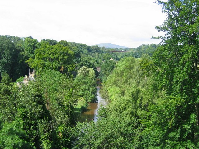
Photo: Richard Webb / Wikimedia Commons / CC BY-SA 2.0 Another Roman fort in the wider Esk valley, helping trace the military network around Inveresk.
-

Photo: Kim Traynor / Wikimedia Commons / CC BY-SA 3.0 A medieval religious foundation in the same regional landscape, contrasting later ecclesiastical settlement with Inveresk’s Roman military role.
-
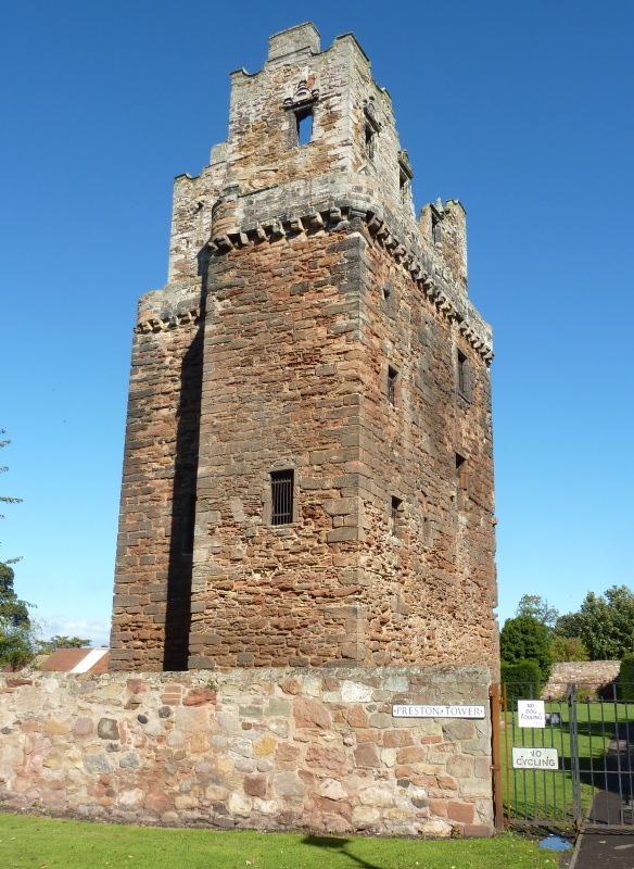
Photo: Otter / Wikimedia Commons / CC BY-SA 3.0 A later fortified residence that extends the area’s defensive history beyond the Roman fort.
Discovery & excavation
Excavations since 1946 have established the forts outline. Work in 2010 uncovered part of a Mithraeum, Roman burials, altars and settlement evidence.
Finds now held at: Inveresk.
What to look for
-
The fort beneath the church
St Michael’s Church stands within the fort’s setting; the Roman defences lie beneath its grounds rather than surviving as visible masonry.
-
The vicus
East of the fort, the civilian vicus included a curving structure interpreted as an amphitheatre, indicating substantial settlement beyond the rampart.
-
The Mithraic altars
The two large sandstone Mithraic altars, dedicated around AD 140 by a centurion, are held by the National Museum of Scotland.
-
The Carberry tombstone
At nearby Carberry, Crescens’ tombstone and a horse burial provide evidence consistent with cavalry activity around the fort and its community.
Plan your visit
- Location
- 55.9365°N · 3.0546°W
- Nearest settlement
- Dunbar
- Access
- Open access
- Terrain
- Moderate walking
- Time needed
- About 45 minutes
Nearby places

Sacred place · Medieval
Newbattle Abbey
Midlothian
Newbattle Abbey links Cistercian settlement, early Scottish coal extraction, repeated Anglo-Scottish conflict, Reformation (the break with Rome tha…
- Near Dalkeith
Fortified place · Roman
Elginhaugh
Midlothian
Elginhaugh is the Roman Empire’s most completely excavated timber-built auxiliary fort, offering rare evidence for a short Flavian occupation, mixe…
- Near Dalkeith
- Some walking
Fortified place · Medieval
Preston Tower, East Lothian
East Lothian
Preston Tower is a rare layered survivor in Prestonpans: a medieval keep enlarged in 1626, repeatedly burned in conflict and accident, and now rest…
- Near Prestonpans
Ancient tree · Medieval
Ding Dong tree
East Lothian
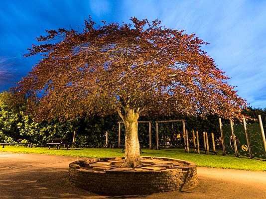
The Ding Dong tree is a copper beech that became a school landmark, won Scotland’s Tree of the Year and shaped children’s outdoor life.
- Near East Lothian
Questions people ask
- How large was Inveresk Roman Fort?
- It covered about 6.6 acres, placing it toward the larger end of Roman fort sizes.
- What makes Inveresk’s Mithraeum notable?
- It is described as the earliest dated Mithraeum found in both Scotland and Britain.
- When was the fort abandoned?
- It was probably abandoned around AD 160 when Hadrian’s Wall was recommissioned.
Sources
The Ancient Codex, in your pocket
Get the Pocket Codex app
Carry the directory with you — Inveresk Roman Fort and thousands of ancient places across Britain and Ireland, offline, wherever you roam.