
Roughly seven acres of Roman fort lie buried on the eastern bank of the River Dee, opposite the hamlet of Glenlochar in the parish of Balmaghie. For years the ground carried the wrong name entirely: the local designation Abbey (a religious community led by an abbot) Yard, and the label used on Ordnance Survey maps before the 1940s, both recorded it as the site of an abbey rather than a Roman garrison.
Roughly seven acres of Roman fort lie buried on the eastern bank of the River Dee, opposite the hamlet of Glenlochar in the parish of Balmaghie. For years the ground carried the wrong name entirely: the local designation Abbey Yard, and the label used on Ordnance Survey maps before the 1940s, both recorded it as the site of an abbey rather than a Roman garrison.
Glenlochar itself sits one and a half miles south of Balmaghie Kirk and three miles north of Castle Douglas, in the historical county of Kirkcudbrightshire in Dumfries and Galloway. The place has drawn several distinct chapters of military and industrial history to the same stretch of riverbank, from a first-century frontier fort to a Second World War bridge-building camp whose concrete foundations still show above the turf.
What follows is drawn from published sources, with each claim labelled by how firmly it is established.
The name
The name Glenlochar may connect to the ancient name Loukopibía. Its second element is thought to derive from the Brittonic -luch-, meaning "marshy or brackish water" (Welsh llwch, Gaelic loch), or from lǖch, "bright, shining", carried by the adjectival suffix -ar. The first part of the name is either Brittonic glïnn- (Welsh glyn) or Gaelic gleann, both meaning "a valley", anglicised into Scots as glen.
History
In 81 AD the Roman governor Gnaeus Julius Agricola had a large fort built on the eastern bank of the River Dee, opposite the site of the later hamlet. The fort enclosed an area of roughly seven acres, some 2.8 hectares. For centuries afterwards the fort's ground was misidentified. The local name Abbey Yard, and the identification carried on Ordnance Survey maps prior to the 1940s, both recorded the area as the site of an abbey rather than a Roman military work.
During the Second World War Glenlochar became the site of a training camp dedicated to the construction of Bailey bridges. The concrete slab foundations of that camp remain visible on the ground today. The wartime use left a hazard behind it. An unexploded bomb shell was found at the site, and a controlled explosion was carried out to deal with it in 2002.
People
-
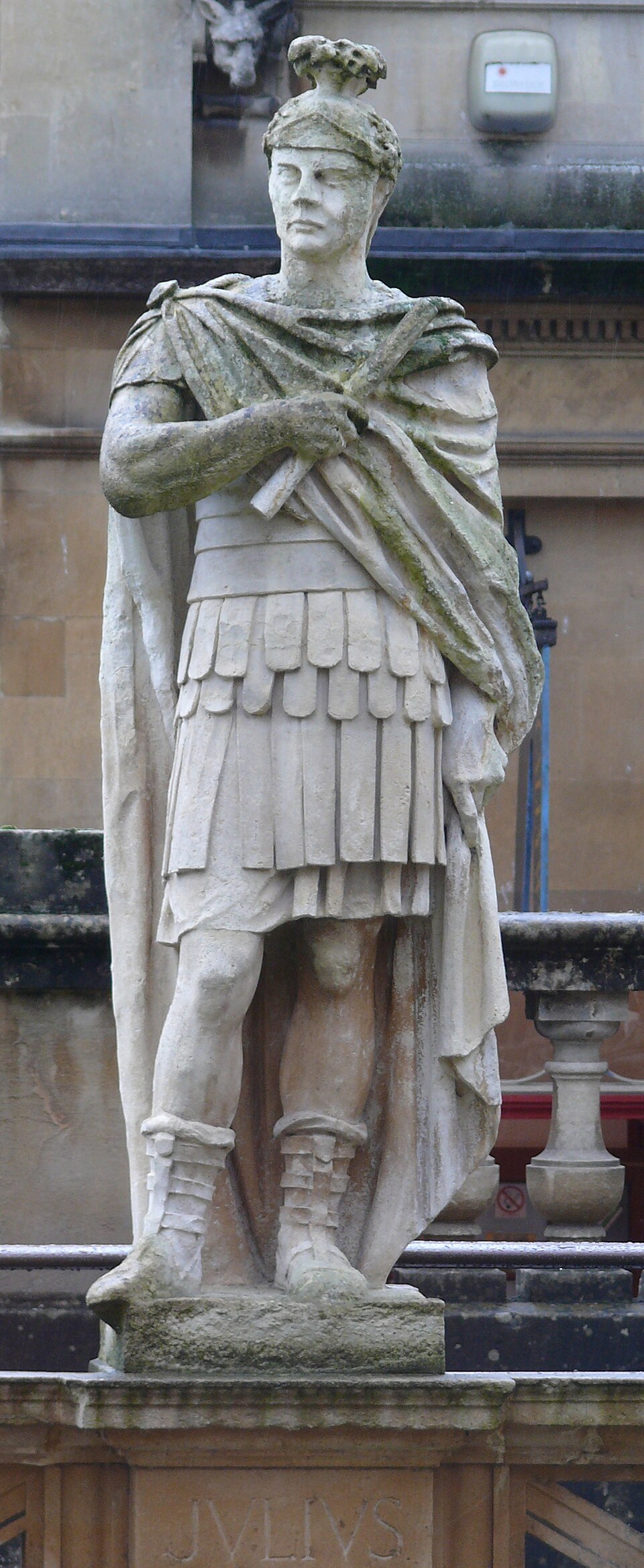
Portrait: Ad Meskens / Wikimedia Commons / CC BY-SA 3.0 Gnaeus Julius Agricola
Roman governor of Britain under whom the Glenlochar fort was built in 81 AD.
Cultural influences
-
Glenlochar records Roman military control of the River Dee valley, later overlaid by a Second World War Bailey-bridge training camp that remains visible in its concrete foundations.
Connections
-
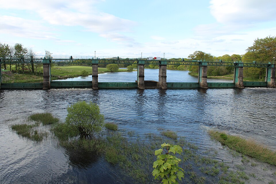
Photo: Billy McCrorie / Wikimedia Commons / CC BY-SA 2.0 Glenlochar Barrage
A barrage on the River Dee at Glenlochar forming part of the Galloway Hydro Electric Scheme.
-
Glenlochar House
A late 18th- to 19th-century Georgian house at Glenlochar with its principal facade overlooking the River Dee.
-
Balmaghie Kirk
The parish church a mile and a half to the north of the hamlet.
Discovery & excavation
The Roman fort survives only as buried remains on the eastern bank of the River Dee. Its true character went unrecognised for a long period: until the 1940s Ordnance Survey maps and the local name Abbey Yard identified the site as that of an abbey, an error only later corrected to a Roman fort.
What to look for
-
The buried Roman fort
The remains lie on the eastern bank of the River Dee, opposite Glenlochar, within the area locally known as Abbey Yard, once enclosing about seven acres.
-
Bailey bridge camp foundations
The concrete slab foundations of the Second World War training camp for Bailey-bridge construction are still visible on the ground.
-
Glenlochar Barrage
The barrage across the River Dee, part of the Galloway Hydro Electric Scheme.
-
Glenlochar House
A late 18th- or 19th-century Georgian house whose main front overlooks the River Dee.
-
The community hall
A small hall in the hamlet that formerly served as the local school.
Plan your visit
- Location
- 54.9590°N · 3.9830°W
- Time needed
- About 60 minutes
Nearby places
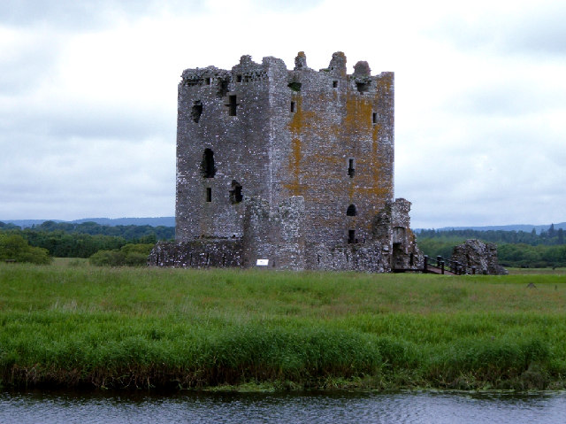
Fortified place · Medieval
Threave Castle
Dumfries and Galloway
Threave Castle is a powerful record of Black Douglas lordship in Galloway, combining a 14th-century tower house with one of Britain’s earliest purp…
- Near Newton Stewart
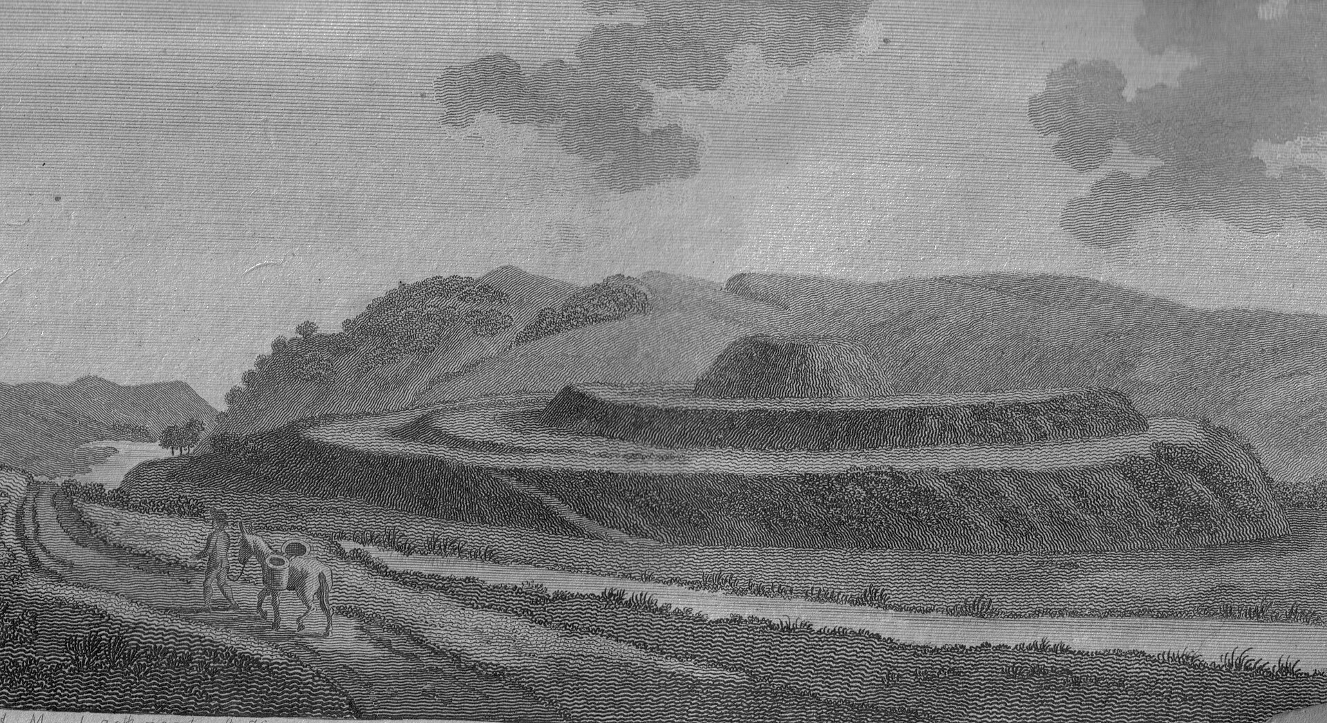
Fortified place · Medieval
Motte of Urr
Dumfries and Galloway
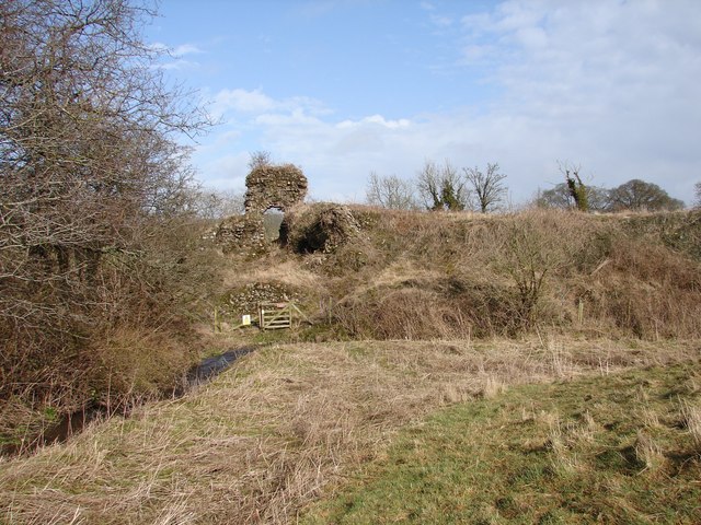
The Motte of Urr preserves the earthwork (earth moved and shaped into banks and ditches rather than built up in stone) of a twelfth-century baronia…
Fortified place · Medieval
Buittle Castle
Dumfries and Galloway
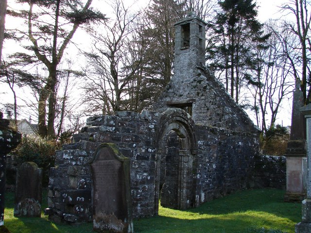
Buittle combines a major Galloway motte-and-bailey castle complex, with an earth mound and an enclosed yard, with evidence of occupation from the M…
Building or ruin · Medieval
Tongland Abbey
Dumfries and Galloway
Tongland Abbey records a little-documented Premonstratensian community in Galloway, where uncertain foundation evidence, a troubled late-medieval d…
- Near Newton Stewart
Questions people ask
- Who built the Roman fort at Glenlochar and when?
- It was built in 81 AD under the Roman governor Gnaeus Julius Agricola, on the eastern bank of the River Dee opposite the hamlet, enclosing roughly seven acres (2.8 hectares).
- Why is the site called Abbey Yard?
- Abbey Yard is the local name for the area containing the fort remains. It reflects an incorrect identification, carried on Ordnance Survey maps before the 1940s, of the site as an abbey rather than a Roman fort.
- What happened at Glenlochar during the Second World War?
- Glenlochar was the site of a training camp for the construction of Bailey bridges. The concrete slab foundations of the camp are still visible.
- Was there ever a bomb found at the site?
- Yes. An unexploded bomb shell was found at the site, and a controlled explosion was conducted to deal with it in 2002.
- Where is Glenlochar?
- It is a hamlet on the western bank of the River Dee in the parish of Balmaghie, in the historical county of Kirkcudbrightshire in Dumfries and Galloway, one and a half miles south of Balmaghie Kirk and three miles north of Castle Douglas.
Sources
- Wikidata Q56667646 (scheduled monument: Roman fort, annexe, road, camps and barrows)
- Glenlochar, Wikipedia
- Ordnance Survey mapping of the Glenlochar site
Explore more: Fortified places · Roman · Dumfries and Galloway
The Ancient Codex, in your pocket
Get the Pocket Codex app
Carry the directory with you — Glenlochar Roman Fort, Camps and Road and thousands of ancient places across Britain and Ireland, offline, wherever you roam.