
Two burial cists inside still carry carved cup marks and a rare axehead symbol, evidence that survived even after most of the cairn (a mound of piled stones, often covering a burial)'s stone was carted off for road-building.
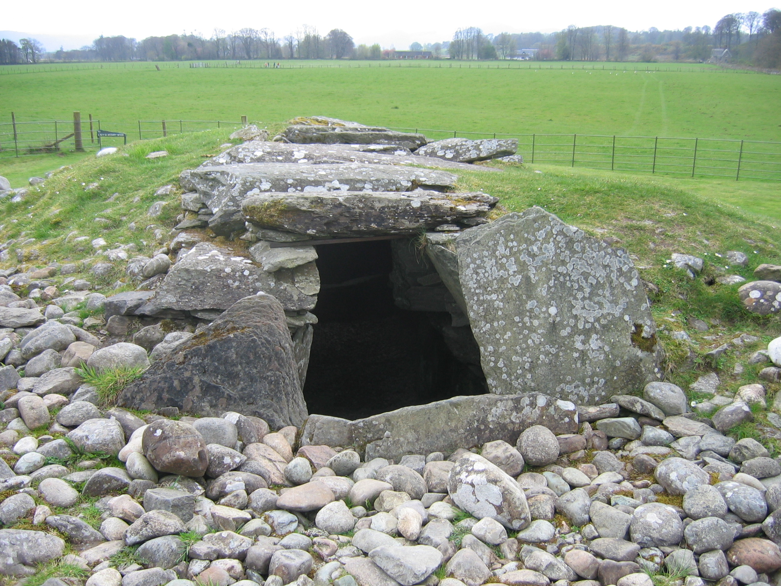
Quarrying for road stone reduced Nether Largie Mid Cairn before its 1929 excavation, leaving a grass-grown mound about thirty metres across. Two burial cists remained beneath the broken kerb, their slabs joined by carefully cut grooves at the corners.
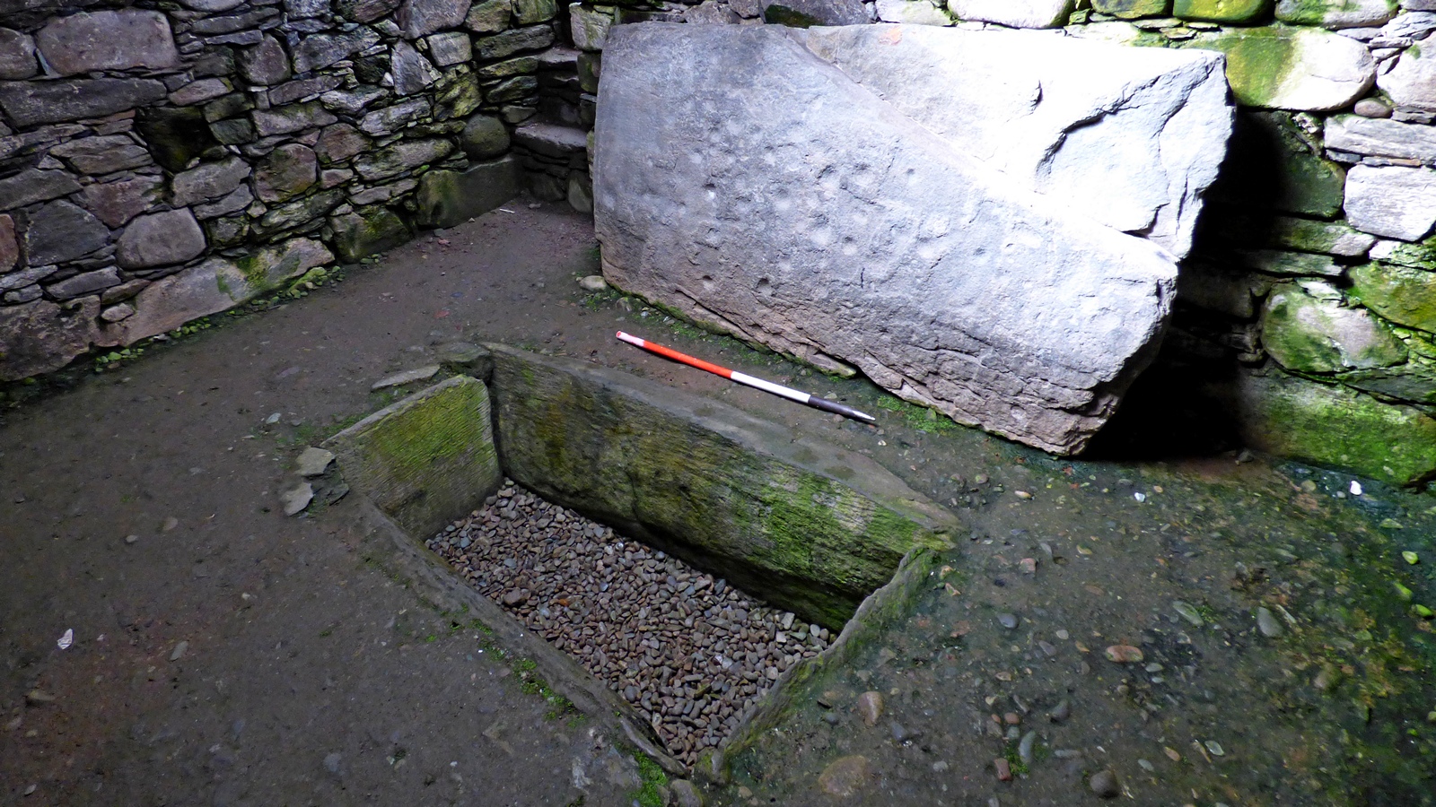
On the southern cist, carvers had left something rarer than the burial itself: cup marks, the small round hollows pecked into rock across prehistoric Scotland, alongside a carved outline of an axehead. Such combinations are uncommon, and their survival on a stone that had lain buried and protected for thousands of years gives a direct look at how Bronze Age communities marked their dead.
The cairn is one link in a chain. It stands roughly midway along a line of five burial cairns running south-south-west from Kilmartin village for about three miles, a deliberate arrangement of the dead across the landscape that has no real parallel elsewhere in Scotland.
What follows is drawn from published sources, with each claim labelled by how firmly it is established.
History
During the Bronze Age, communities in the glen built a chain of burial cairns running south-south-west from Kilmartin village over some three miles, of which this cairn is one of five surviving members. Cropmarks and other traces in the surrounding fields suggest there were originally more, since lost to ploughing, stone robbing, and time, leaving the five known cairns as the visible remnant of a much larger funerary landscape.
At some point before the twentieth century, much of the cairn's stone was taken by road builders working in the glen, reducing a mound that had once stood around 3 metres high and 30 metres across to a fraction of its original mass. The kerbstones marking its outer boundary survived this stripping and remain visible today, giving a clear sense of the cairn's original footprint even where the covering stone is gone.
In 1929, not long after that stone had been removed, archaeologists excavated the reduced cairn and found two stone-built cists beneath it, their slabs fitted together with carefully cut grooved joints. On the southern cist they recorded cup marks and a carved axehead, a rare pairing of decoration on a burial container that had lain hidden and undisturbed since the Bronze Age.
In the decades since, the cairn has been studied as part of the wider linear cemetery that runs through Kilmartin Glen, one of more than 800 ancient monuments recorded within a six-mile radius of the village. Kilmartin Museum, based in the village itself, now interprets the cairn alongside its neighbours as part of the internationally important archaeological landscape of the glen.
Cultural influences
-
Kilmartin Glen funerary landscape
This damaged cairn gains its meaning from its position in a concentrated prehistoric cemetery at Kilmartin Glen, rather than as an isolated grave.
Connections
-
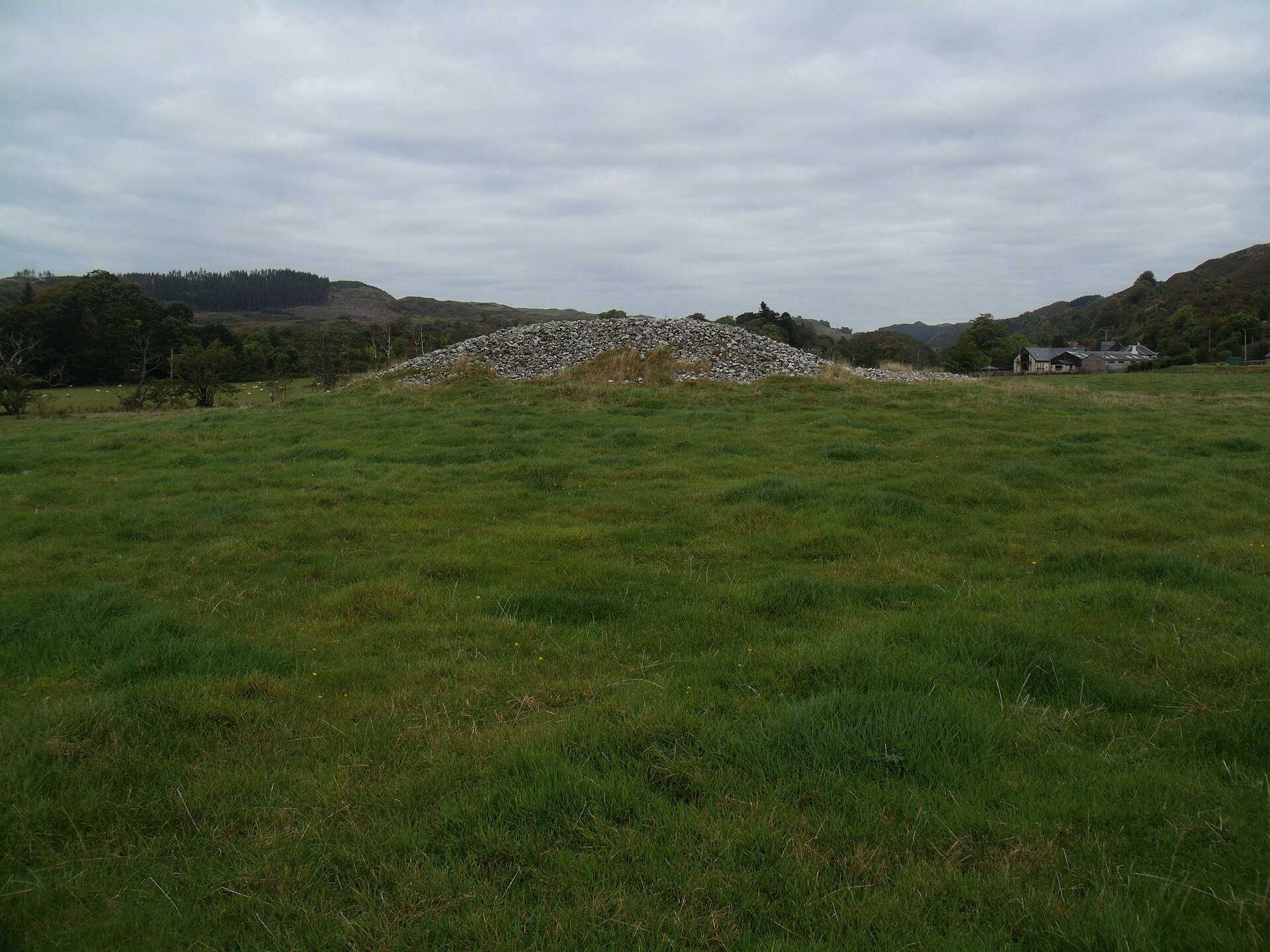
Photo: Euan Nelson / Wikimedia Commons / CC BY-SA 2.0 The northernmost cairn of the same linear cemetery, excavated in 1864 by Canon William Greenwell, whose dig found concentric stone circles, two cist burials, a jet necklace and a decorated bowl.
-
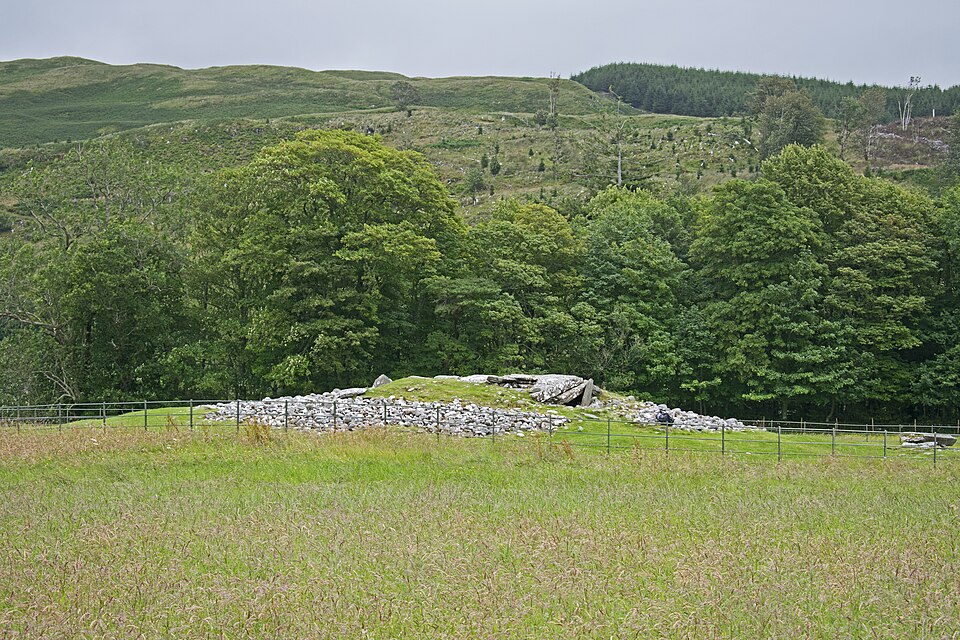
Photo: Ymblanter / Wikimedia Commons / CC BY-SA 4.0 Nether Largie South Cairn
The oldest monument in the linear cemetery, a Neolithic chambered cairn of the Clyde type lying further south along the same alignment as this cairn.
-
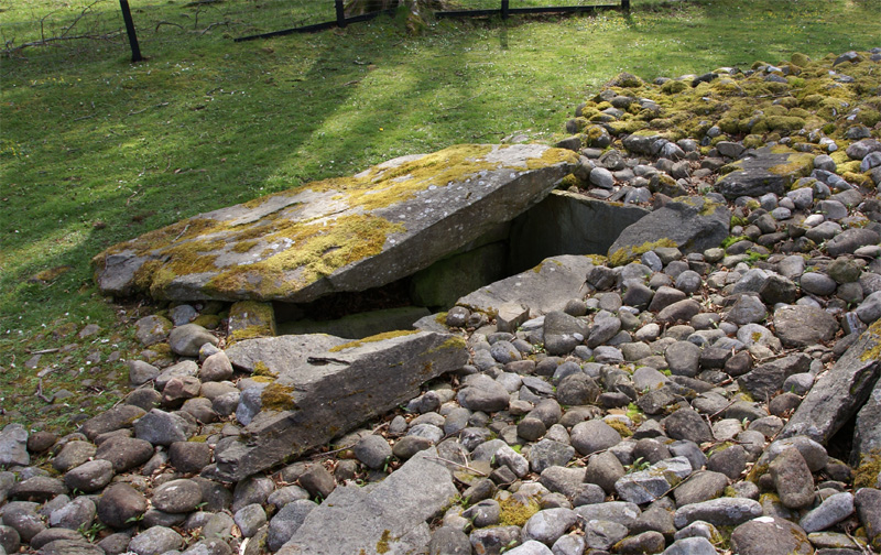
Photo: Otter / Wikimedia Commons / CC BY-SA 3.0 The southernmost cairn in the linear cemetery, built between 2200 and 1950 BC and locally held to be the possible burial place of a king.
-
Kilmartin Museum
The village museum that interprets, explains and conserves the archaeological landscape of Kilmartin Glen, including this cairn and its neighbours in the linear cemetery.
Discovery & excavation
The cairn was first excavated in 1929, shortly after much of its stone had already been reused in roadbuilding. The dig uncovered kerbstones marking the mound's original boundary and two internal cists with grooved joints between their slabs, one of which carried cup marks and a carved axehead on its southern face.
What to look for
-
Kerbstones
A ring of boundary stones still traces the original edge of the cairn, showing how much larger the mound once was before stone robbing reduced it.
-
Two internal cists
Stone-slab burial chambers set within the cairn, their corners fitted with carefully cut grooved joints.
-
Cup marks and axehead carving
On the southern cist, small pecked hollows known as cup marks appear alongside a carved outline of an axehead, a rare combination of prehistoric rock art on a burial stone.
Plan your visit
- Location
- 56.1281°N · 5.4926°W
- Nearest settlement
- Kilmartin
- Access
- Open access
- Terrain
- Easy going
- Time needed
- About 30 minutes
- Best time
- Daylight, when the cairn can be understood alongside the other monuments in Kilmartin Glen.
- What survives
- A prehistoric cairn within the surviving monument group of Kilmartin Glen.
- Facilities
- Facilities are available in Kilmartin; none are recorded at the cairn itself.
Opening & admission
No current admission details are recorded — check the managing body's site before travelling.
Nearby places
Tomb or burial place · Prehistoric
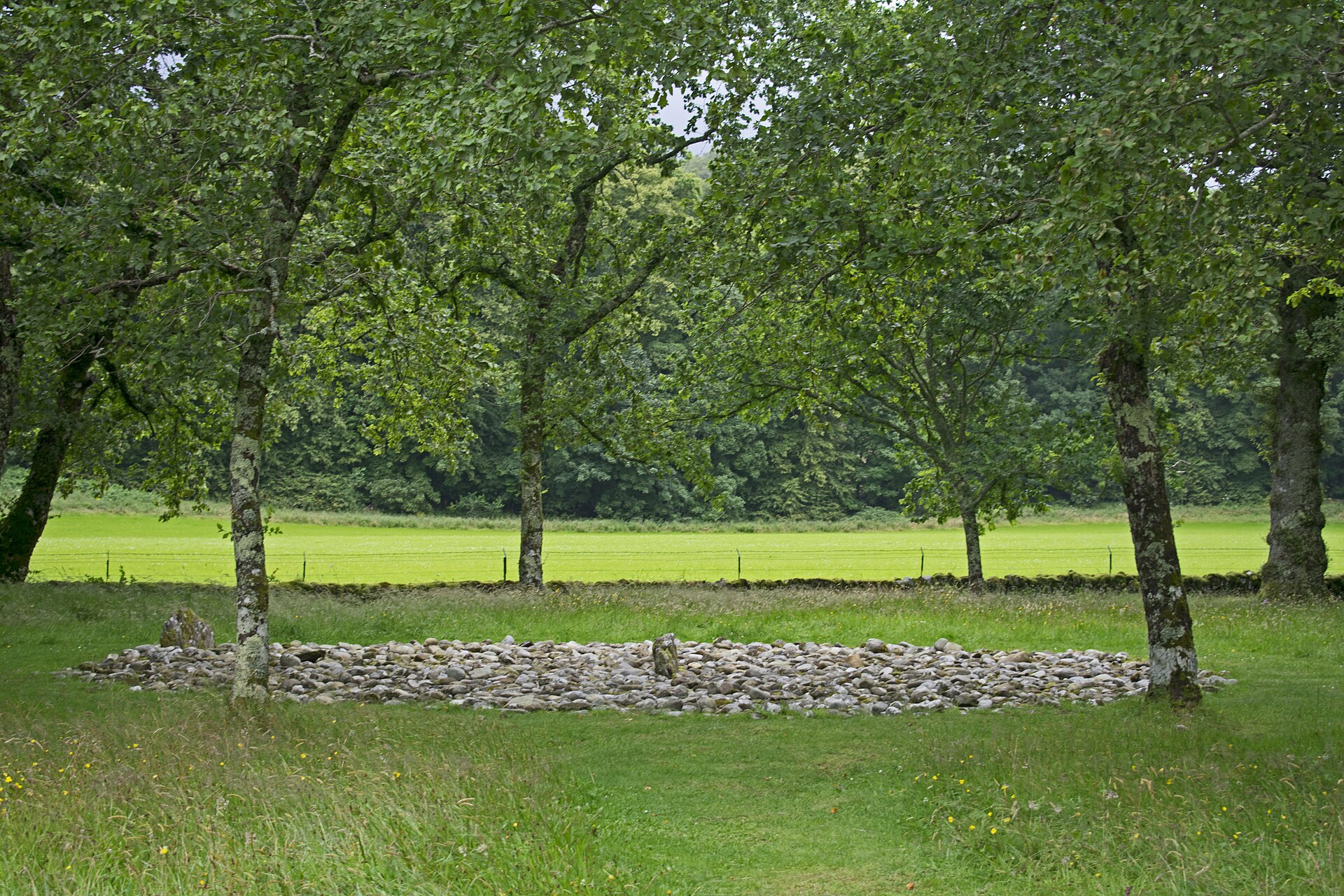
Nether Largie North Cairn
Argyll and Bute
The mound standing here today is not undisturbed ancient masonry: it is a 1930 reconstruction, a fact that changes what a visitor is actually looki…
- Near Kilmartin
- Easy path
Tomb or burial place · Prehistoric
Nether Largie South Chambered Cairn
Argyll and Bute
Nether Largie South is a Neolithic Clyde-type chambered cairn, a mound of piled stones often covering a burial, and the earliest monument in the Ki…
- Near Kilmartin
- 7 min walk from car park
- Easy path
Sacred place · Prehistoric
Temple Wood Stone Circles
Argyll and Bute
At the centre of the southern circle at Temple Wood lies a burial cist (a grave lined and capped with stone slabs), ringed by a smaller circle of s…
- Near Kilmartin
- 8 min walk from car park
- Easy path
Tomb or burial place · Prehistoric
Glebe Cairn
Argyll and Bute
A jet necklace recovered from one of its two Bronze Age (roughly 2500–800 BC) stone cists is a rare surviving trace of the personal ornaments burie…
- Near Kilmartin
- Easy path
Questions people ask
- When was Nether Largie Mid Cairn excavated?
- It was first excavated in 1929, shortly after much of its stone had already been removed and reused in roadbuilding.
- How big is the cairn?
- It is around 30 metres across and was formerly about 3 metres high, though stone removal has reduced its bulk.
- What was found inside the cairn?
- Two stone cists with grooved joints between the slabs, one carved with cup marks and an axehead on its southern side.
- Is this cairn part of a wider group of monuments?
- Yes, it is one of five surviving cairns in a linear cemetery running roughly three miles south-south-west of Kilmartin village.
- Where can visitors learn more about the site?
- Kilmartin Museum in the nearby village interprets the cairn and the wider Kilmartin Glen archaeological landscape.
Sources
- Wikipedia: Kilmartin Glen
- Kilmartin Museum
- BBC Archive — Chronicle: Cracking the Stone Age Code
Explore more: Tomb or burial places · Prehistoric · Argyll and Bute
The Ancient Codex, in your pocket
Get the Pocket Codex app
Carry the directory with you — Nether Largie Mid Cairn and thousands of ancient places across Britain and Ireland, offline, wherever you roam.