
Dunadd is a hillfort in Argyll and Bute, occupied from the Iron Age and into the early medieval period, and believed to have been the capital of the Gaelic kingdom of Dál Riata, which spanned the…
A fort on the River Add gives Dunadd its name — Dún Ad in Gaelic — a rocky crag occupied from the Iron Age into the early medieval period. It is widely believed to have served as the capital of the Gaelic kingdom of Dál Riata.
What follows is drawn from published sources, with each claim labelled by how firmly it is established.
The name
Dunadd (Scottish Gaelic Dún Ad, Old Irish Dún Att) means 'fort on the [River] Add', the river beside which the crag lies.
History
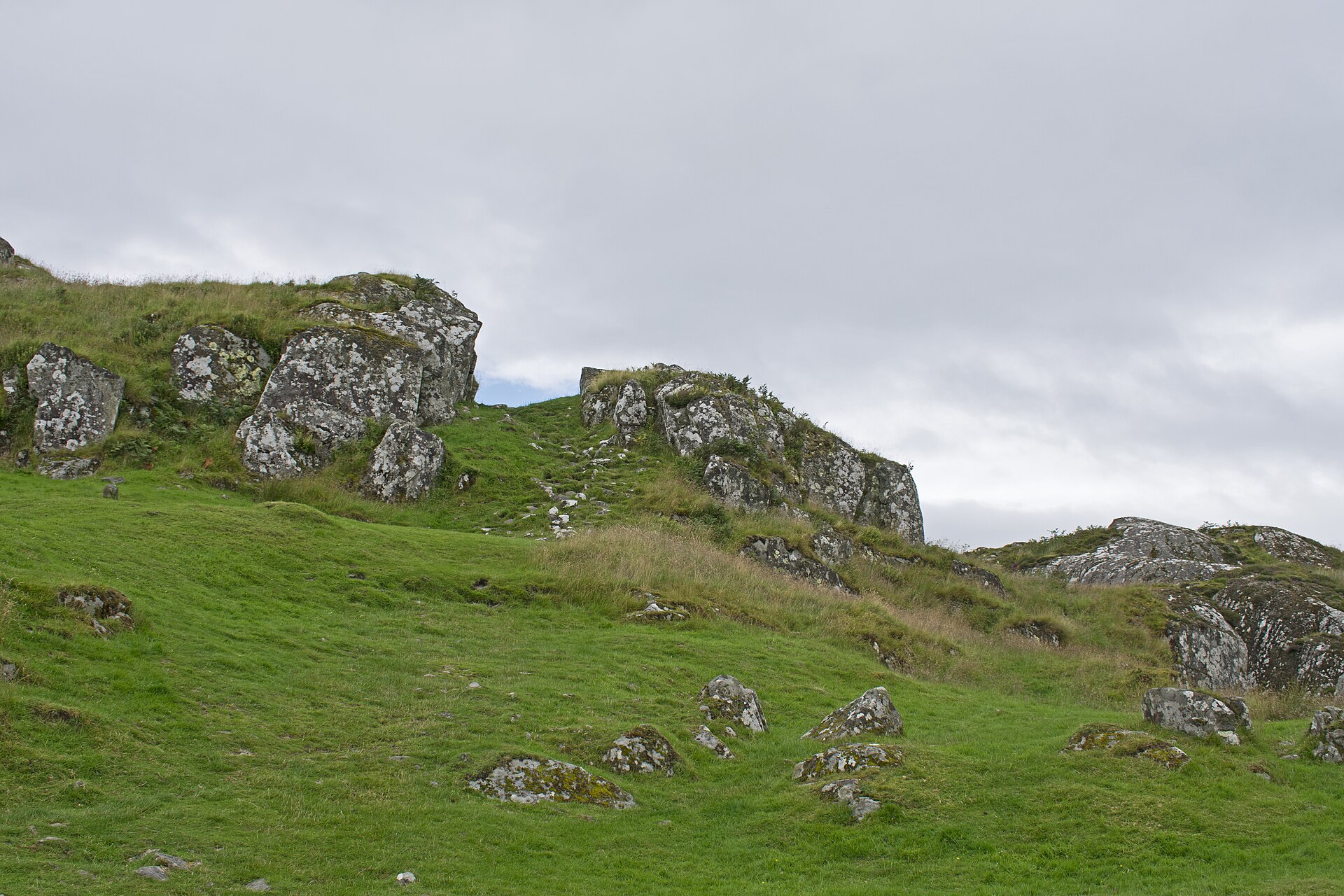
Dunadd is a hillfort in Argyll and Bute, occupied from the Iron Age and into the early medieval period, and believed to have been the capital of the Gaelic kingdom of Dál Riata, which spanned the northern Irish coast, Argyll and the Scottish islands in the early centuries AD. Dunadd is mentioned twice in early sources: the Annals of Ulster record 'the siege of Dún At' in 683, and for 736 state that Aengus son of Fergus, king of the Picts, laid waste Dál Riata, seized Dún At, burned Creic, and bound in chains two sons of Selbach (Donngal and Feradach).
The site was occupied after 736, at least into the 9th century, and retained importance into later centuries: in 1436 Alan son of John Riabhach MacLachlan of Dunadd was made seneschal of the lands of Glassary, and in June 1506 commissioners appointed by James IV — including the earl and bishop of Argyll — met at Dunadd to collect rents and resolve feuds. Analysis of sea-level change suggests Dunadd was an island or promontory into historic times, with receding sea levels leaving the fortification open to siege and seizure in the 6th to 7th centuries.
People
-
Kings of Dál Riata
The Gaelic rulers for whom Dunadd served as a royal seat
-
Aengus son of Fergus (Óengus, king of the Picts)
Seized Dún At and laid waste Dál Riata in 736, per the Annals of Ulster
-
Finn Manach
Name read in the ogham inscription on the summit outcrop, dated to the late 8th century or after
Cultural influences
-
As the believed capital of Dál Riata, Dunadd was a focal seat of the Gaelic kingdom that linked Ireland and Argyll, at a time when the Romans had abandoned southern Britain and the Anglo-Saxons were arriving across the North Sea.
-
The carved footprint and basin below the upper enclosure are thought to have formed part of Dál Riata's inauguration ritual for kings — making Dunadd a candidate royal coronation place.
-
Its early-medieval finds — including imported pottery and moulds for fine metalwork — point to wide trade and craft connections and mark it as one of the most important such assemblages from any early-medieval site in Scotland.
Connections
-
Kingdom of Dál Riata
Believed capital of the kingdom
-
Bruach An Druimein
Site 7 km to the north whose early-medieval glass beads chemically match Dunadd's, suggesting it was associated with or controlled by Dunadd
-
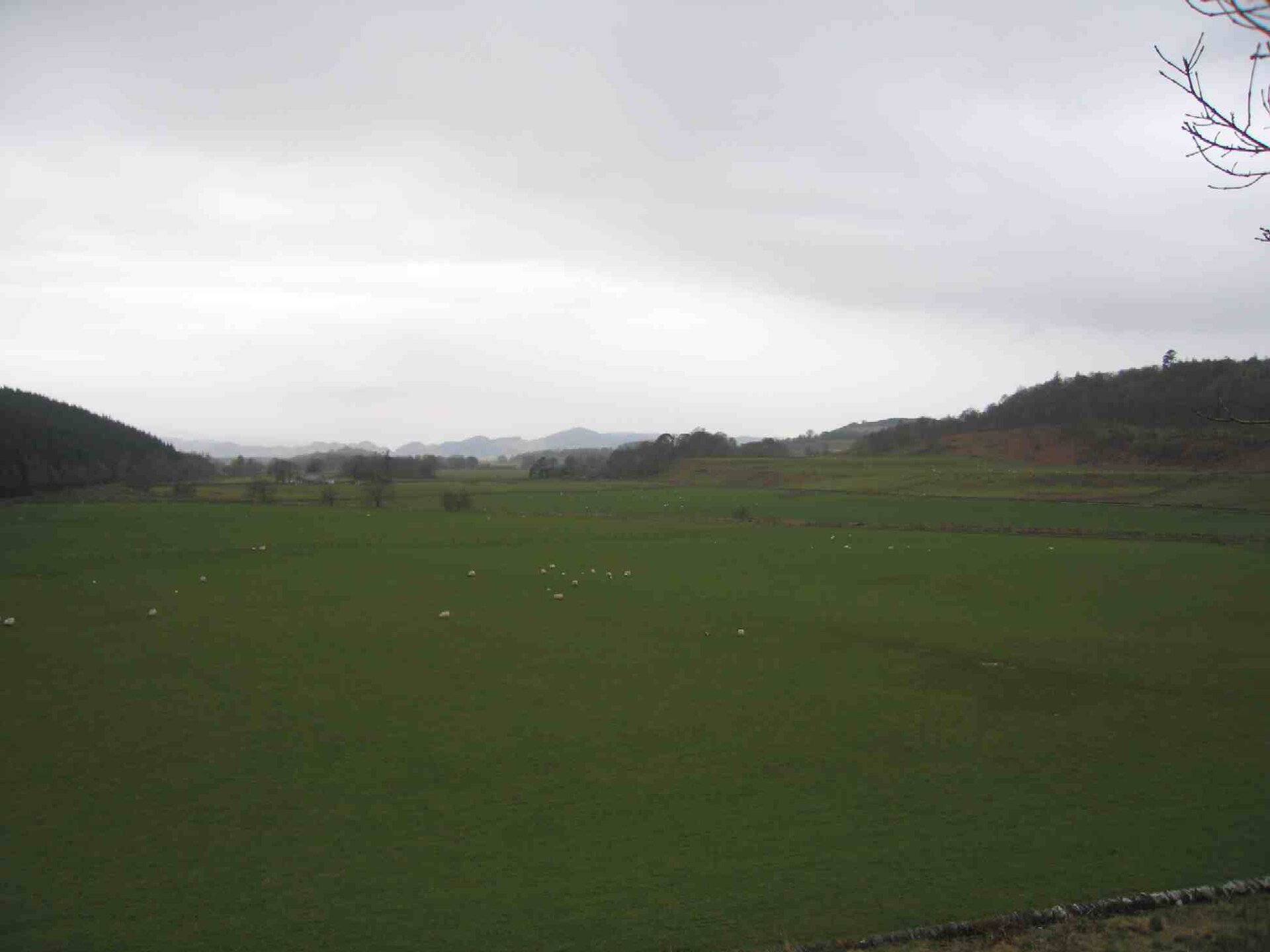
Photo: Laurence Nolan, aka User:Lnolan / Wikimedia Commons / CC BY 2.5 The wider valley of ancient monuments in which Dunadd sits
Discovery & excavation
Because Dunadd is named in early sources and readily identified, it has been excavated several times (1904–1905, 1929 and 1980) and has one of the most important ensembles of finds from any early-medieval site in Scotland. The finds range from the 6th to the 8th centuries and include tools, weapons, quernstones, imported pottery, and motif-pieces and moulds for the manufacture of fine metalwork, especially jewellery.
In culture
-
Dunadd (as Dun Monaidh) is central to Rosemary Sutcliff's 1965 novel The Mark of the Horse Lord, which depicts a Dál Riada succession struggle and a royal coronation using the carved footprint.
-
It is the setting for Claire R. McDougall's novel Veil of Time, in which a modern woman is transported to Dunadd's 8th-century heyday; the footprint, boar, well and ruins all feature.
What to look for
-
The rock-cut footprint and basin
The carved footprint and basin in the rock below the upper enclosure, thought to have been used in royal inauguration ritual.
-
The incised boar
An incised boar in Pictish style on the same flat outcrop.
-
The ogham inscription
An ogham inscription, read as referring to a Finn Manach and dated to the late 8th century or after.
-
The crag above the Mòine Mhòr
The rocky crag itself rising from the former bog of the Mòine Mhòr ('Great Moor') near the River Add, north of Lochgilphead.
Plan your visit
- Location
- 56.0857°N · 5.4789°W
- Nearest settlement
- Kilmartin
- Access
- Open access
- Terrain
- Moderate walking
- Parking
- Parking available nearby — see the official getting-here page.
- Start point
- Signposted 2m south of Kilmartin off the A816.
- Time needed
- About 60 minutes
- Best time
- Open year-round.
- What survives
- The open-air fort survives as an Iron Age and early medieval hilltop enclosure with visible earthworks and carved features.
- Facilities
- Historic Environment Scotland provides the relevant visitor guidance for the open-air fort; check the official prices and getting-here pages for current arrangements.
- Start point
- Dunadd Fort car park — Car park at the foot of the crag, signposted 2 miles south of Kilmartin off the A816; a path leads across to the rock with a short rocky climb to the summit features.
- Sat-nav
- NR 837 936
Opening & admission
Free to enter and open year-round, but check the managing body's site before travelling for any updates.
- Set on a rocky crag rising from formerly boggy ground, so the approach involves a short climb over uneven rock.
- Ground can be soft underfoot on the surrounding moor.
Nearby places
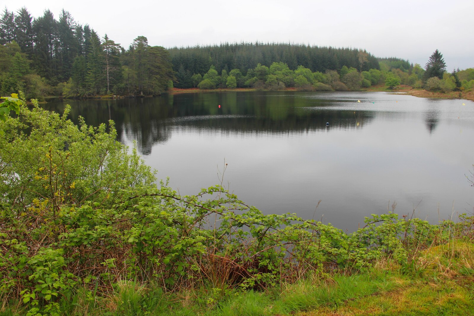
Crossing or structure · Medieval
Loch a' Bharain
Argyll and Bute
Loch a’ Bharain is a purpose-built Crinan Canal reservoir whose 1801 dam stabilised the summit reach and whose recent drainage exposed traces of an…
- Near Cairnbaan
- Easy path
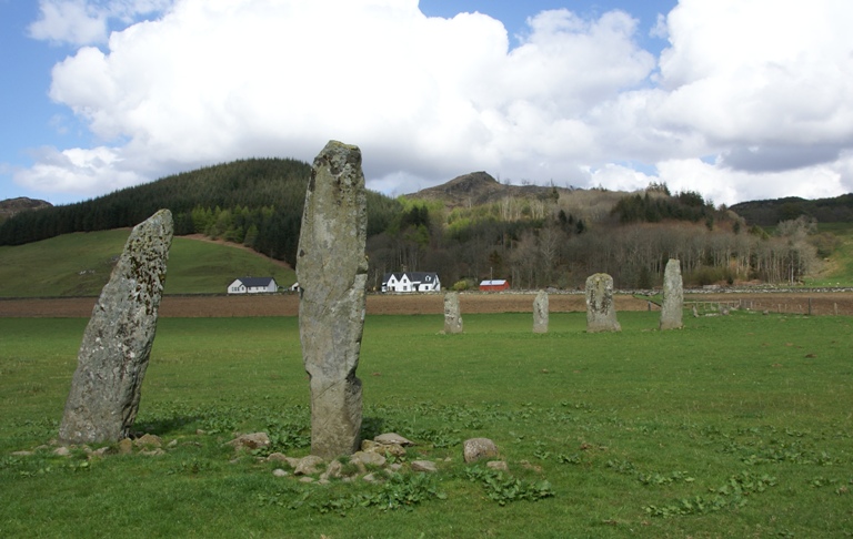
Sacred place · Prehistoric
Ballymeanoch Standing Stones and Henge
Argyll and Bute
One of the few places in Kilmartin Glen where a stone avenue, a circle and a henge: a circular enclosure from before any written account of Britain…
- Near Kilmartin
- 6 min walk from car park
- Some walking
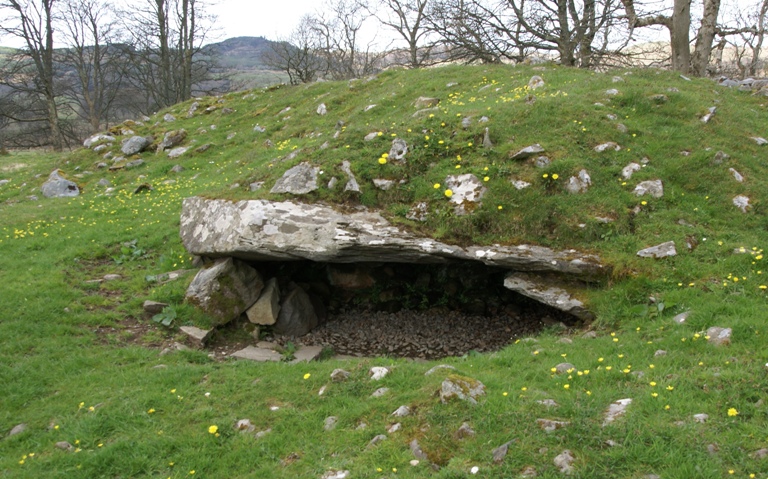
Tomb or burial place · Prehistoric
Dunchraigaig Cairn
Argyll and Bute
Dunchraigaig is an Early Bronze Age round cairn, about 30 m across, set a little apart to the south-east of the famous 2 km linear cemetery of cair…
- Near Kilmartin
- 1 min walk from car park
- Easy path
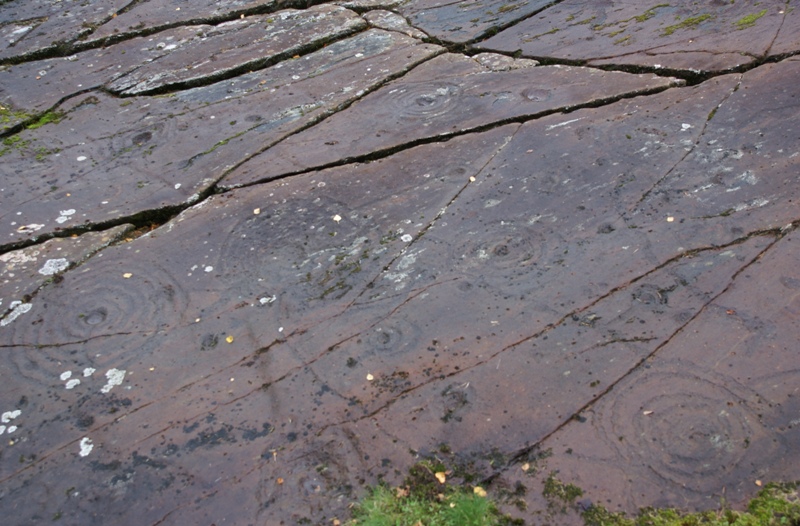
Carved stone · Prehistoric
Achnabreck Cup and Ring Marks
Argyll and Bute
One of the densest and most elaborate concentrations of prehistoric (before written records reached Britain) cup and ring carvings anywhere in Scot…
- Near Lochgilphead
- 6 min walk from car park
- Easy path
The setting
View across Kilmartin Glen from Dunadd Fort; the wider archaeological landscape is shown.
Photo: Ymblanter / Wikimedia Commons / CC BY-SA 4.0
Questions people ask
- What is Dunadd Fort?
- It is an Iron Age and early-medieval hillfort in Argyll, believed to have been the capital of the Gaelic kingdom of Dál Riata.
- What is Dál Riata?
- Dál Riata was a Gaelic kingdom spanning parts of Argyll, the Scottish islands and the northern Irish coast in the early centuries AD.
- What carvings survive at Dunadd Fort?
- A carved footprint, basin, Pictish-style boar and ogham inscription survive on the rock outcrop below the upper enclosure.
- Can you visit Dunadd Fort?
- Yes — Historic Environment Scotland lists it as free to enter and open year-round, signposted two miles south of Kilmartin off the A816.
Sources
- Canmore site record 39564 (accessed 2026-06-13)
- Wikipedia: Dunadd (accessed 2026-06-13)
- Wikidata Q233579 (accessed 2026-06-13)
Explore more: Fortified places · Iron Age · Argyll and Bute
The Ancient Codex, in your pocket
Get the Pocket Codex app
Carry the directory with you — Dunadd Fort and thousands of ancient places across Britain and Ireland, offline, wherever you roam.