
One of the few places in Kilmartin Glen where a stone avenue, a circle and a henge — a circular enclosure from before any written account of Britain existed, ringed by a bank with its ditch set within — all stand together in a single field beside a mound of piled stones.
Two lines of standing stones cross a sheep pasture in Kilmartin Glen, one row of four and a shorter row of two, with the tallest stone rising some four metres out of the grass. Look closely at the middle pair of the longer row and the surfaces are covered in cup and ring marks, shallow carved circles and hollows pecked into the stone rather than left by weathering. Fences and gates thread between the field boundaries, and the only way to reach the stones on foot is along paths that farmers still use to move sheep around them.
The monument is in fact several structures grouped together: the avenue of stones, a separate stone circle, and a henge (a circular earthwork enclosure) containing a small burial cairn. An interpretation panel placed at the site by Historic Environment Scotland records that the circle and the standing stones are the oldest elements, raised more than 4,000 years ago, with the henge and its cairn added afterwards. The whole complex is protected as a scheduled monument, recognising it as a site of national archaeological importance.
Ballymeanoch sits within a working farm rather than a fenced-off heritage park. The nearest parking is shared with the Dunchraigaig cairn a short distance away, and from there the standing stones are reached on foot across the same ground that has been farmed around them for generations.
What follows is drawn from published sources, with each claim labelled by how firmly it is established.
The name
The name comes from the Scottish Gaelic Baile Meadhonach, meaning "the middle settlement", a reference to the farm's position within the wider Kilmartin Glen landscape rather than to the monument itself.
History
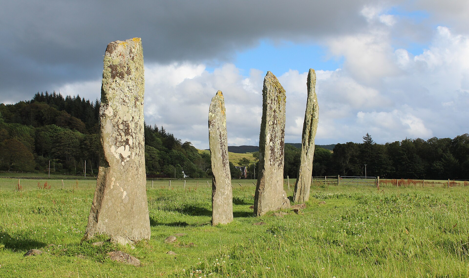
More than 4,000 years ago, in the Neolithic period, the earliest elements of the complex were raised: an avenue formed of two rows of standing stones, one of four stones and a shorter one of two, together with a separate stone circle nearby. These are recorded as the oldest structures on the site, built before anything else was added to the field.
At some point after the avenue and circle were set up, the two middle stones of the four-stone row were carved with cup and ring marks, shallow pecked circles and hollows cut into the stone's surface. The tallest stone in the group stands around four metres high, and it is among this carved pair that the marks are found.
A henge, a roughly circular earthwork enclosure, was built into the complex along with a small burial cairn inside it. Historic Environment Scotland's on-site marker identifies the henge and cairn as later additions, built after the standing stones and circle were already in place, extending the site's use beyond its original stone setting.
In recognition of its national importance, the complex was designated a scheduled monument by Historic Environment Scotland, giving the stones, circle and henge formal legal protection. The site remains part of a privately owned sheep farm, reached today along paths that run between the working fences, with the nearest car park shared with the neighbouring Dunchraigaig cairn.
Connections
-
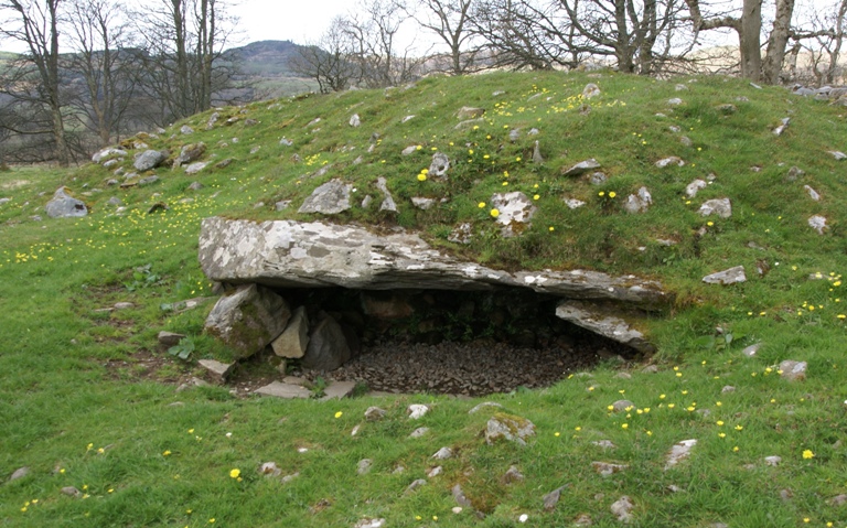
Photo: Otter / Wikimedia Commons / CC BY-SA 3.0 An adjacent prehistoric monument reached from the same roadside car park, making the two sites part of the same visit.
-
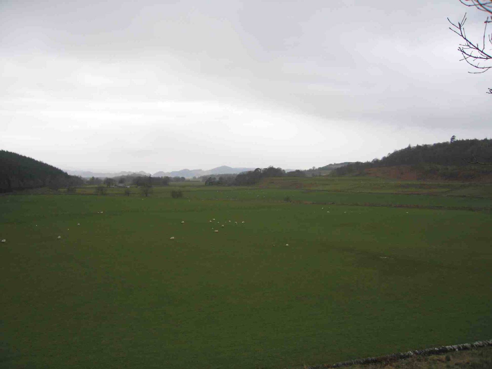
Photo: Laurence Nolan, aka User:Lnolan / Wikimedia Commons / CC BY 2.5 Ballymeanoch is one of the Neolithic and Bronze Age monument groups within this wider archaeological landscape.
Discovery & excavation
The monument has been investigated repeatedly: excavation examined the fallen holed stone, and later survey and geophysical work considered the standing stones and possible fallen stones. These investigations are recorded in the Historic Environment Scotland designation entry.
What to look for
-
The stone avenue
Two rows of standing stones, one of four and a shorter one of two, forming an avenue across the field.
-
Cup and ring carvings
The two middle stones of the four-stone row are carved with cup and ring marks, pecked circular grooves and hollows visible on close inspection.
-
The tallest stone
One stone in the avenue reaches around four metres in height, making it the most prominent upright in the group.
-
The stone circle
A separate circle of stones stands near the avenue, identified as one of the oldest parts of the complex.
-
The henge and burial cairn
A circular earthwork enclosure contains a small burial cairn, added to the site after the stones and circle were already standing.
Plan your visit
- Location
- 56.1110°N · 5.4868°W
- Nearest settlement
- Kilmartin
- Access
- Reached on a public path
- Terrain
- Moderate walking
- Parking
- Parking is available at the nearby Dunchraigaig Cairn car park; the monument is reached on foot via paths between fences.
- Time needed
- About 30 minutes
- What survives
- The avenue, stone circle and henge survive in a field reached by paths between fences across working farmland.
- Start point
- Dunchraigaig Cairn car park — Straight-line distance floor. The record notes the adjacent Dunchraigaig Cairn roadside car park serves the site.
Opening & admission
Free to visit; check the Historic Environment Scotland website for any current guidance before travelling.
- Reached via paths between fences across a working sheep farm
- Parking available at the nearby Dunchraigaig cairn car park
Nearby places
Tomb or burial place · Prehistoric
Dunchraigaig Cairn
Argyll and Bute
Dunchraigaig is an Early Bronze Age round cairn, about 30 m across, set a little apart to the south-east of the famous 2 km linear cemetery of cair…
- Near Kilmartin
- 1 min walk from car park
- Easy path
Tomb or burial place · Prehistoric
Ri Cruin Cairn
Argyll and Bute
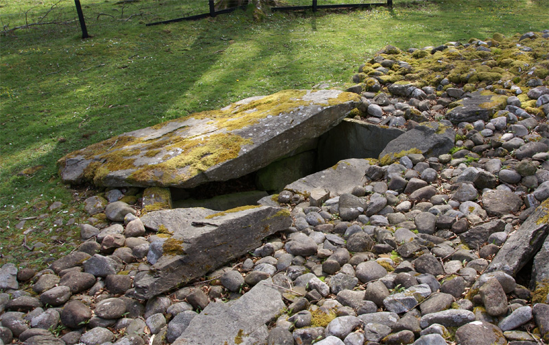
The southernmost cairn (a mound of piled stones, often covering a burial) in Kilmartin Glen's five-mile chain of Bronze Age (roughly 2500–800 BC) b…
- Near Kilmartin
- 8 min walk from car park
- Easy path
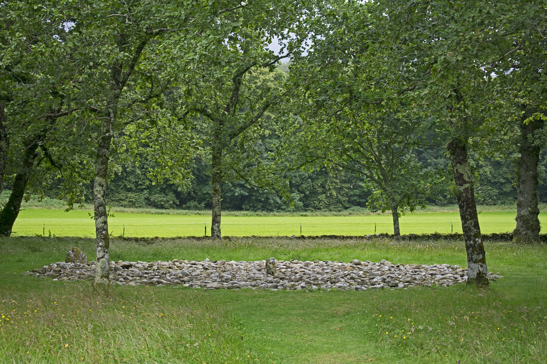
Sacred place · Prehistoric
Temple Wood Stone Circles
Argyll and Bute
At the centre of the southern circle at Temple Wood lies a burial cist (a grave lined and capped with stone slabs), ringed by a smaller circle of s…
- Near Kilmartin
- 8 min walk from car park
- Easy path
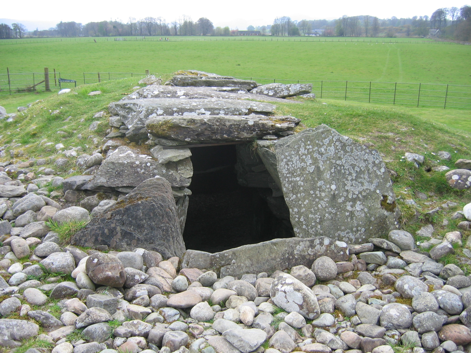
Tomb or burial place · Prehistoric
Nether Largie South Chambered Cairn
Argyll and Bute
Nether Largie South is a Neolithic Clyde-type chambered cairn, a mound of piled stones often covering a burial, and the earliest monument in the Ki…
- Near Kilmartin
- 7 min walk from car park
- Easy path
Questions people ask
- What is Ballymeanoch?
- A Neolithic monument complex in Kilmartin Glen combining an avenue of standing stones, a stone circle, and a henge containing a small burial cairn.
- How old are the stones at Ballymeanoch?
- The stone circle and standing stones are the oldest structures, dating back more than 4,000 years according to the on-site Historic Environment Scotland marker.
- What are the carvings on the stones?
- The two middle stones of the four-stone row bear cup and ring marks, pecked circular grooves and hollows characteristic of prehistoric rock art.
- Is Ballymeanoch open to the public?
- Yes. The stones sit on a working sheep farm but can be reached on foot via paths between the field fences.
- Where do you park for Ballymeanoch?
- The nearest car park is at the neighbouring Dunchraigaig cairn, a short walk from the Ballymeanoch stones.
Sources
- Wikipedia: Ballymeanoch
- Historic Environment Scotland — site information panel, Ballymeanoch
- BBC — feature on Ballymeanoch and Dunchraigaig
Explore more: Sacred places · Prehistoric · Argyll and Bute
The Ancient Codex, in your pocket
Get the Pocket Codex app
Carry the directory with you — Ballymeanoch Standing Stones and Henge and thousands of ancient places across Britain and Ireland, offline, wherever you roam.