
Loch a’ Bharain is a purpose-built Crinan Canal reservoir whose 1801 dam stabilised the summit reach and whose recent drainage exposed traces of an older Clan McTavish castle beneath its waters.
Beside lock nine of the Crinan Canal, Loch a’ Bharain broadens the waterway at its summit reach. The Baron’s Loch is an impounding reservoir built as part of the canal’s early nineteenth-century engineering.
An earth-fill dam, 5.6 metres high, was constructed in 1801. The reservoir acts as a side pound, adding water area that reduces level changes when locks are used at either end of the summit reach.
When the canal was drained for repair in 2020–21, the mostly emptied loch revealed lock remains and the floor plan of an old Clan McTavish castle. It is also used today for model boating.
What follows is drawn from published sources, with each claim labelled by how firmly it is established.
History
Loch a’ Bharain, the Baron’s Loch, is an impounding reservoir on the north bank of the Crinan Canal beside lock nine. Built as a side pound on the canal’s summit reach, it increases the water area available to reduce level changes when locks are worked at either end. An earth-fill dam 5.6 metres high was constructed in 1801 as part of the Crinan Canal works. The canal was completed by 1810, linking the Argyll waterways more directly with Crinan and the west coast; the reservoir remains part of that original water-management system.
The Crinan Canal later became known as the Royal Route after Queen Victoria travelled through it during her Scottish tour. Loch a’ Bharain feeds the canal and belongs to the wider engineering system that sustained the route’s summit reach. When the canal was drained for repair and inspection in 2020–21, the mostly emptied loch revealed old lock gates, discarded material and the floor-plan remains of a castle associated with Clan McTavish. The loch is also used by Mid Argyll Radio Sailing for model boating.
Cultural influences
-
The reservoir was constructed as part of the canal’s water-management system, increasing the summit reach’s available water area.
Connections
-
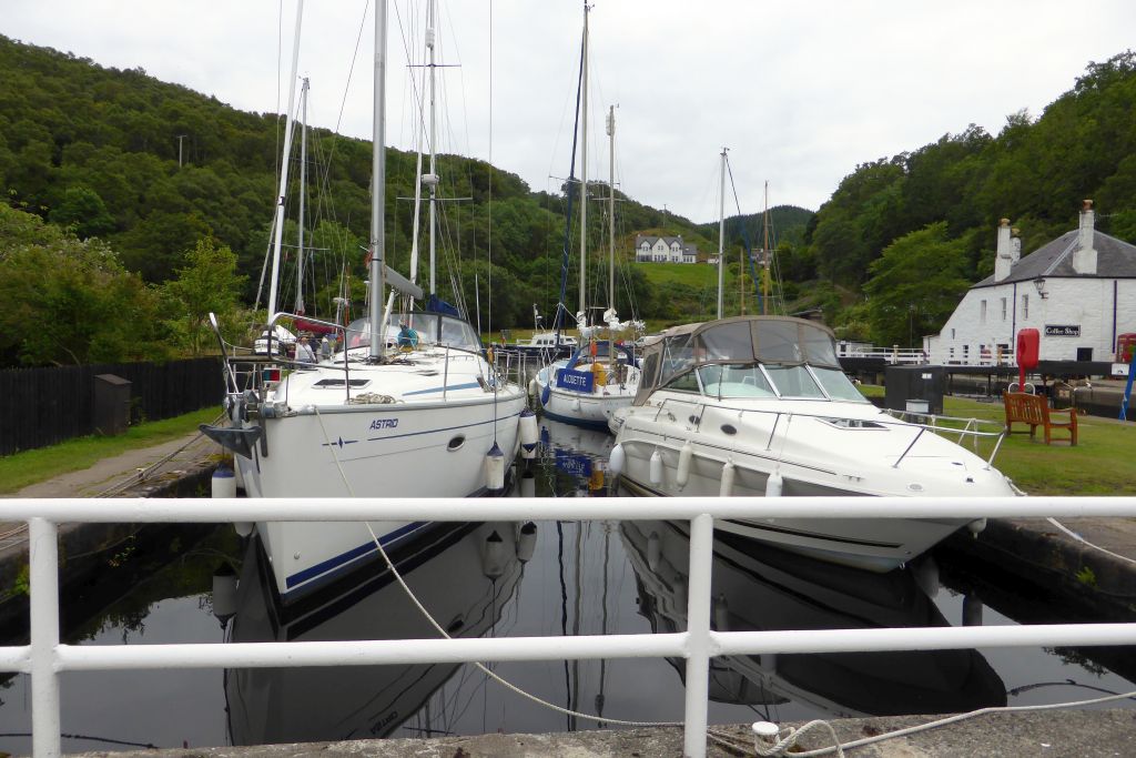
Photo: Robert Murray / Wikimedia Commons / CC BY-SA 2.0 Loch a’ Bharain is a side pound beside lock nine on the canal’s summit reach.
-
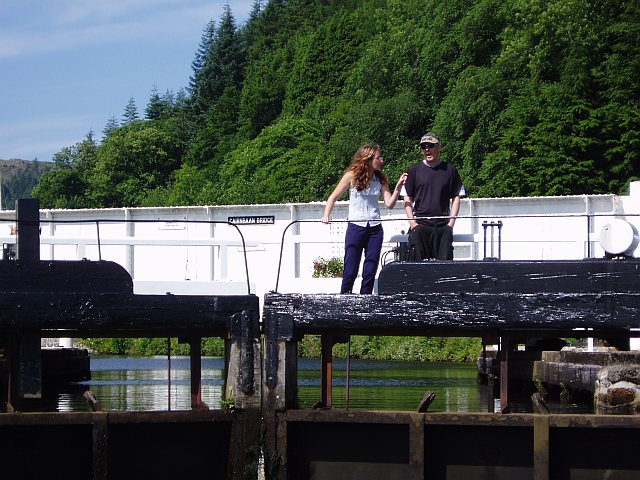
Photo: Charles Sutherland / Wikimedia Commons / CC BY-SA 2.0 Cairnbaan
The reservoir lies about 1.5 kilometres west of this settlement.
-
Clan McTavish
The drained loch exposed the floor plan of an old castle associated with the clan.
-
Mid Argyll Radio Sailing
This group regularly uses the loch for model boating.
What to look for
-
Earth-fill dam
The 1801 earth-fill dam rises 5.6 metres and forms the reservoir that impounds the loch. Its scale and material reflect the early nineteenth-century engineering of the Crinan Canal, and the dam is the clearest surviving structure associated with the loch’s water-management role.
-
Lock-nine setting
Loch a’ Bharain lies beside lock number nine on the Crinan Canal’s summit reach. The setting shows how the reservoir was integrated into the canal sequence, with the loch broadening the waterway beside a lock rather than functioning as an isolated natural lake.
-
Summit-reach side pound
The reservoir acts as a side pound, adding water area to help reduce level changes when locks are used at either end of the summit reach. This operational role explains why the loch is part of the canal’s engineering system, not simply scenery beside it.
Plan your visit
- Location
- 56.0624°N · 5.4972°W
- Nearest settlement
- Cairnbaan
- Access
- Visible from a public way
- Terrain
- Easy going
- Time needed
- About 15 minutes
- What survives
- An operational canal reservoir and its 1801 earth-fill dam survive beside lock nine of the Crinan Canal.
Opening & admission
No admission charge applies; the reservoir is part of the open canal-side landscape rather than a staffed attraction.
- Loch a’ Bharain is used by Mid Argyll Radio Sailing for model boats.
Nearby places
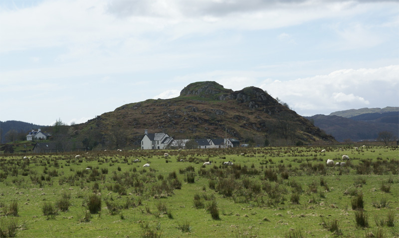
Fortified place · Iron Age
Dunadd Fort
Argyll and Bute
Dunadd is a hillfort in Argyll and Bute, occupied from the Iron Age and into the early medieval period, and believed to have been the capital of th…
- Near Kilmartin
- 237 metres from car park
- Some walking
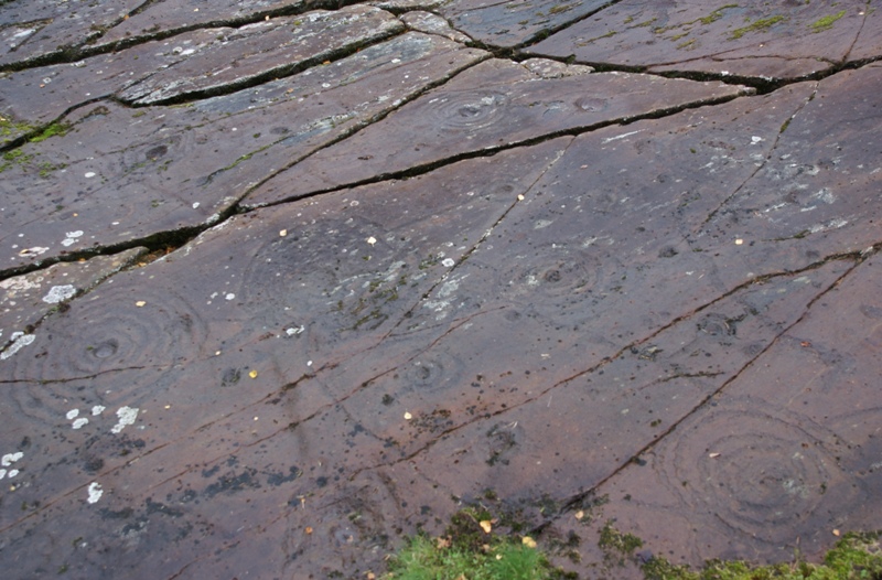
Carved stone · Prehistoric
Achnabreck Cup and Ring Marks
Argyll and Bute
One of the densest and most elaborate concentrations of prehistoric (before written records reached Britain) cup and ring carvings anywhere in Scot…
- Near Lochgilphead
- 6 min walk from car park
- Easy path
Crossing or structure · Medieval
Crinan Canal
Argyll and Bute
Fifteen locks and two burst reservoirs of history connect Loch Gilp to the Sound of Jura, sparing ships the long, exposed passage around the Mull o…
- Near Crinan
- Easy path
Sacred place · Prehistoric
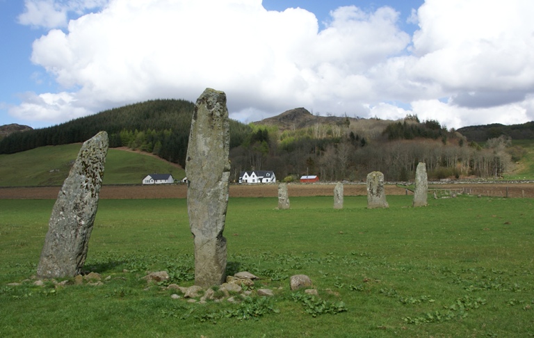
Ballymeanoch Standing Stones and Henge
Argyll and Bute
One of the few places in Kilmartin Glen where a stone avenue, a circle and a henge: a circular enclosure from before any written account of Britain…
- Near Kilmartin
- 6 min walk from car park
- Some walking
Questions people ask
- What is Loch a’ Bharain?
- It is an impounding reservoir and side pound on the Crinan Canal’s summit reach.
- When was its dam built?
- The 5.6-metre earth-fill dam was constructed in 1801.
- What was found when the loch was drained?
- The 2020–21 drainage revealed old lock gates and the floor-plan remains of an old Clan McTavish castle.
Sources
The Ancient Codex, in your pocket
Get the Pocket Codex app
Carry the directory with you — Loch a' Bharain and thousands of ancient places across Britain and Ireland, offline, wherever you roam.