
One of the best-preserved Roman earthworks in Scotland — under an acre, with two ditches that were once fifteen feet deep.
Among the best-preserved Roman earthworks in Scotland, this one lies in the Camilty Plantation at Harburn, roughly three miles south-east of West Calder, in West Lothian. The site is less than an acre in size and lies just off the B7008.
The remains take the form of two defensive ditches protecting a clearly visible rectangular rampart. Those ditches would originally have been at least fifteen feet deep. The rampart behind them still stands up to five feet high in places, and would have been considerably higher in use, carrying a wooden palisade at least ten feet high with a walkway running the length of the fortlet. An entrance passes through the rampart at the eastern end, over which a wooden tower would have stood, attached to the walkway.
Very little survives of the flat interior. It is known to have held two rows of barracks with a well between them, and there would also have been a stable block. Sir Daniel Wilson first excavated the site in the nineteenth century, the interior in 1852, and pottery was recovered from that well.
Castle Greg was most likely a monitoring base for an east–west road running along the foot of the nearby Pentlands, from the Forth to the Clyde valley.
Its position makes better sense than it looks. The fortlet commands no long-distance views today, but in the first century AD, when it was in use, the surrounding country was not forested, and the garrison would have seen clearly as far as the Fife coastline and the mountains beyond.
The name may derive from the Roman Camulosessa Præsidium, by way of nearby Camilty — itself from Camulos Tref, village of Camulos.
What follows is drawn from published sources, with each claim labelled by how firmly it is established.
History
The fortlet sits on the Camilty Plantation at Harburn, about three miles south-east of West Calder in West Lothian, just off the B7008. The site is less than an acre in size and is one of the best preserved Roman earthworks in Scotland. The remains take the form of two defensive ditches protecting a clearly visible rectangular rampart. Those ditches would originally have been at least fifteen feet deep, and the rampart behind them still stands up to five feet high in places — considerably higher in use, carrying a wooden palisade at least ten feet high with a walkway running the length of the fortlet.
An entrance passes through the rampart at the eastern end, over which a wooden tower would have stood, attached to the walkway. Very little survives of the flat interior, though it is known to have held two rows of barracks with a well between them, and there would also have been a stable block. Sir Daniel Wilson first excavated the site in the nineteenth century, the interior in 1852, and pottery was recovered from the well between the two barrack rows. Castle Greg was most likely a monitoring base for an east–west road running along the foot of the nearby Pentlands, from the Forth to the Clyde valley.
Its position makes better sense than it looks. The fortlet commands no long-distance views today, but in the first century AD, when it was in use, the surrounding country was not forested, and the garrison would have seen clearly as far as the Fife coastline and the mountains beyond. The name may derive from the Roman Camulosessa Præsidium, by way of nearby Camilty — itself from Camulos Tref, village of Camulos.
People
-
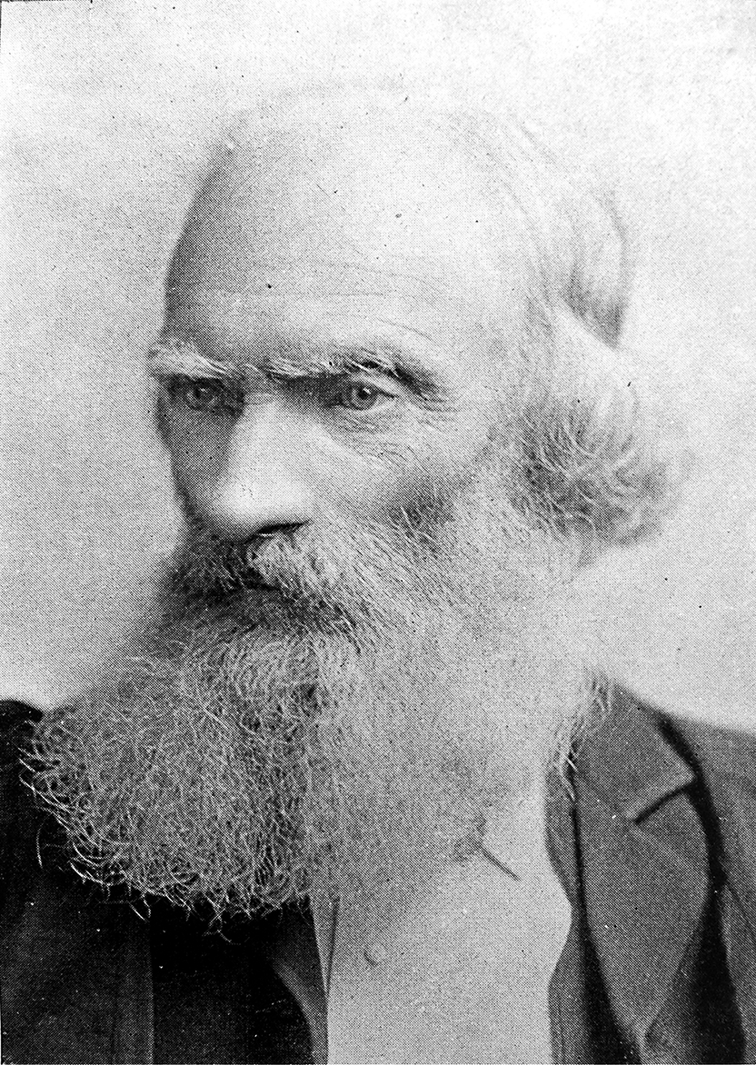
Portrait: Cochrane, William, 1831-1898 / Wikimedia Commons / Public domain Sir Daniel Wilson
Excavated Castle Greg's interior in 1852 and recovered pottery from the well between its barrack rows. His work provided the evidence for the fortlet's internal layout and Roman date.
Cultural influences
-
A fortlet watching the Pentland route
Castle Greg’s ditches and rampart occupied a position intended to monitor the east–west route along the foot of the Pentlands, linking the Forth with the Clyde valley during the Roman occupation.
Connections
-
Camilty Hill
Castle Greg occupies Camilty Hill’s broad moorland ridge, where the Roman fortlet’s rampart and double ditches monitored a possible minor route west of the Pentland Hills.
Discovery & excavation
Sir Daniel Wilson excavated the fortlet interior in 1852, recovering pottery from the well between its two barrack rows; that work remains the principal recorded investigation of the site.
What to look for
-
The two defensive ditches
Both are clearly visible, and originally they would have been at least fifteen feet deep. They are the reason the site is counted among the best preserved Roman earthworks in Scotland.
-
The rectangular rampart
The rampart behind the ditches still stands up to five feet high in places — far lower than it was in use, but enough to read the full plan of the fortlet from the ground.
-
The 1852 interior excavation
Sir Daniel Wilson excavated the interior in 1852, the first archaeological work on the site.
Plan your visit
- Location
- 55.8172°N · 3.5171°W
- Access
- Open access
- Terrain
- Moderate walking
- Time needed
- About 60 minutes
Opening & admission
No reliable current admission details are recorded; verify before travelling.
Nearby places
Sacred place · Prehistoric
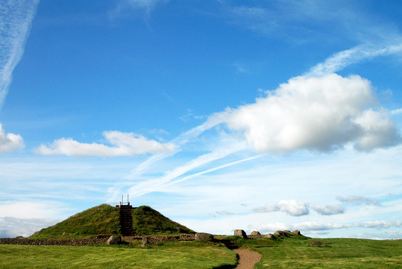
Cairnpapple Hill
West Lothian
Cairnpapple Hill, on a dominating summit 312 metres above sea level with views from coast to coast in central lowland Scotland, was used and re-use…
- Near Bathgate
- 264 metres from car park
- Easy path
Building or ruin · Medieval
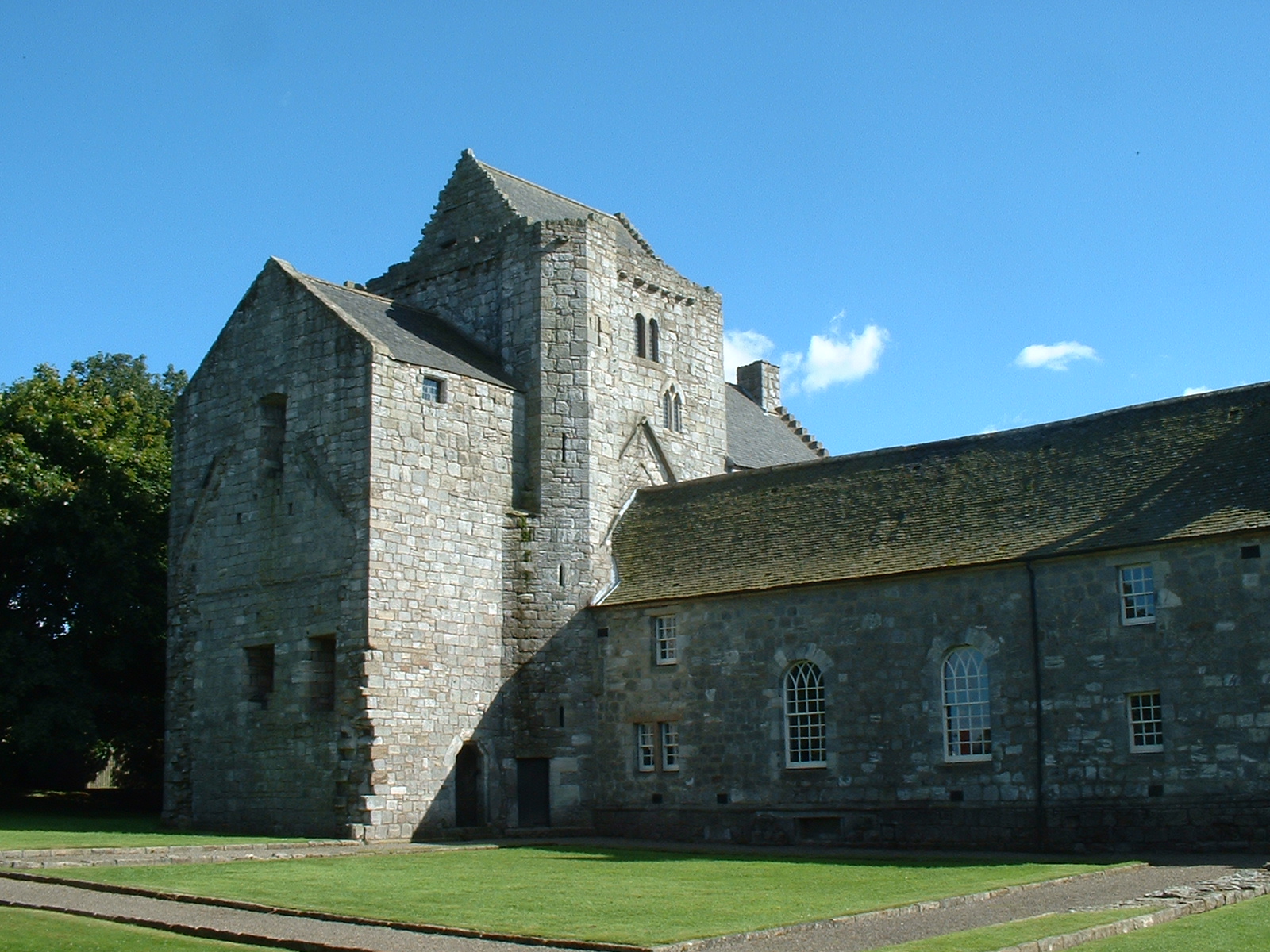
Torphichen Preceptory
West Lothian
The Knights Hospitaller of the Order of St John of Jerusalem were invited to Scotland in 1132 by David I, and the preceptory: their Scottish headqu…
- Near Torphichen
- 1 min walk from car park
Sacred place · Prehistoric
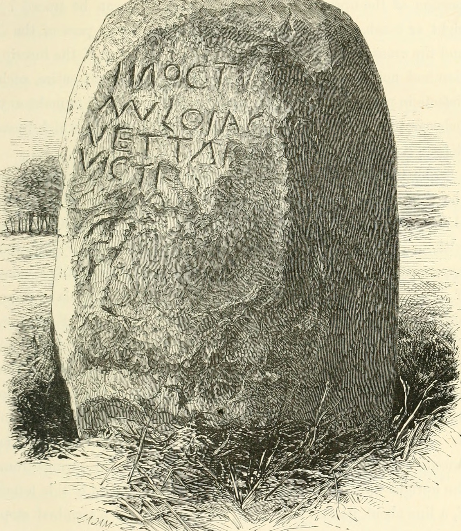
Cat Stane
City of Edinburgh
The Cat Stane combines a Bronze Age (roughly 2500–800 BC, when metalworking spread) standing stone with a fifth- or sixth-century Latin funerary in…
- Near Edinburgh
- Easy path
Fortified place · Iron Age
Castle Law
Midlothian
Castle Law is a scheduled Iron Age (the centuries before Rome arrived, from about 800 BC) hill fort in the Pentlands, preserving earthworks and a s…
- Near Edinburgh
- Some walking
Questions people ask
- What survives at Castle Greg?
- Two defensive ditches and a clearly visible rectangular rampart, still up to five feet high in places. Very little of the flat interior remains, though it held two rows of barracks with a well between them.
- What was the fortlet for?
- Most likely a monitoring base for an east–west road running along the foot of the Pentlands, from the Forth to the Clyde valley.
- Why does it command no view today?
- Because the surrounding country is now forested. In the first century AD it was not, and the garrison would have seen as far as the Fife coastline and the mountains beyond.
Sources
The Ancient Codex, in your pocket
Get the Pocket Codex app
Carry the directory with you — Castle Greg and thousands of ancient places across Britain and Ireland, offline, wherever you roam.