
Castle Law is a scheduled Iron Age (the centuries before Rome arrived, from about 800 BC) hill fort in the Pentlands, preserving earthworks and a souterrain (an underground passage, probably for storage) while commanding wide views across the Forth and Lothian.
Castle Law rises southwest of Fairmilehead in the Pentland Hills, where the surviving banks and ditches of an Iron Age stronghold follow the slopes. Three rubble ramparts, ditches and timber palisades once enclosed the fort, while a souterrain stored agricultural produce beneath the surface. From the hill, long views reach across the Forth and Lothian toward other prominent ancient centres.
V. Gordon Childe excavated Castlelaw in 1932–33, showing that the rampart used a clay-and-timber core faced with stone. The site is now a scheduled monument maintained by Historic Environment Scotland. It remains accessible across active sheep pasture, but visitors need to respect livestock and the neighbouring army firing range, where red flags mark areas that must not be entered.
What follows is drawn from published sources, with each claim labelled by how firmly it is established.
History
Castlelaw Hill Fort was occupied in the Iron Age as a defended stronghold on the slopes of Castle Law. Its enclosure combined three earthwork ramparts, ditches and timber palisades, while a souterrain provided underground storage for agricultural produce. These features show that the hill supported both defence and the management of food resources, rather than serving only as a lookout.
V. Gordon Childe excavated at Castlelaw in 1932 and 1933, concentrating on the rampart. His work showed that it had a clay-and-timber filling faced with stone, clarifying how an apparently simple earthwork was built as a substantial defensive structure. The excavation gave physical evidence for the construction methods and material choices of the Iron Age community that occupied the hill.
The fort commands views over the Forth and Lothian, with Traprain Law and Berwick Law visible from the site. Those hills were also significant Iron Age centres of power, so the visual relationship gives Castle Law a place in a broader regional landscape. The monument is now maintained by Historic Environment Scotland as a scheduled monument, balancing public access with protection of the archaeological remains.
People
-

Portrait: Swan Watson, Andrew / Wikimedia Commons / Public domain V. Gordon Childe
Archaeologist whose 1932–33 excavation exposed the rampart’s clay-and-timber core and stone facing.
Cultural influences
-
The concentric ramparts, ditches, palisade and food-storage souterrain show a defended farming community rather than a simple lookout.
Connections
-
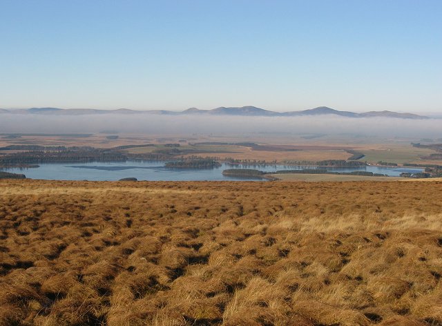
Photo: Richard Webb / Wikimedia Commons / CC BY-SA 2.0 Pentland Hills
Castle Law occupies the slopes of the Pentland Hills, and its hillfort earthworks form part of the range’s prehistoric upland landscape. Its position gives long views across the surrounding region.
-
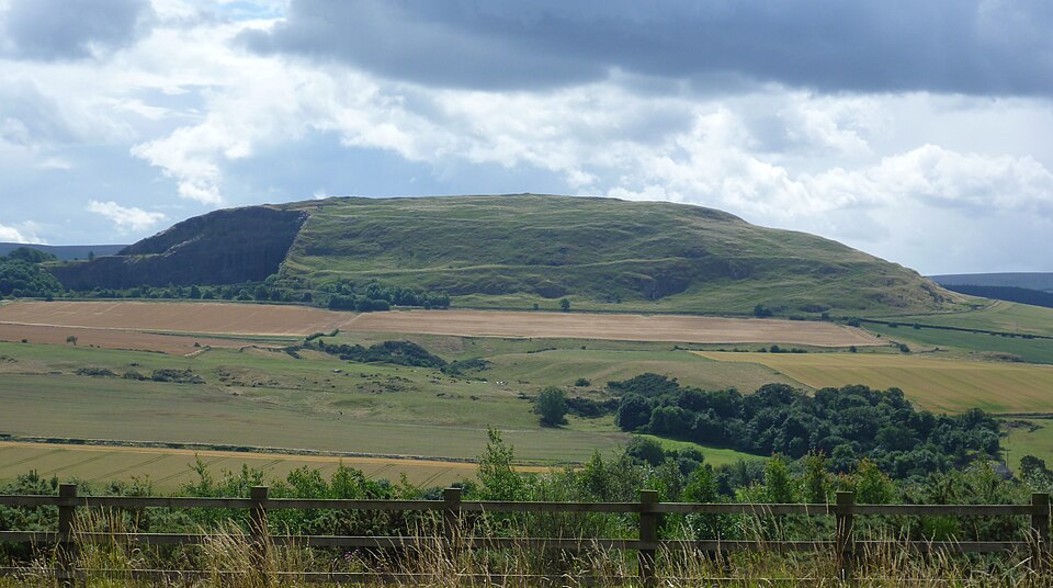
Photo: Kim Traynor / Wikimedia Commons / CC BY-SA 3.0 Traprain Law is visible from Castle Law and was another significant Iron Age centre of power. That sightline places the fort within a wider regional landscape of prehistoric authority.
Discovery & excavation
V. Gordon Childe’s 1932–33 excavation cut into the rampart, revealing its clay-and-timber core behind a stone face.
What to look for
-
The three ramparts
The surviving lines of three earthwork ramparts and intervening ditches.
-
The view over the Forth
The hill’s broad views over the Forth and Lothian.
-
The souterrain
The location of the souterrain associated with storage of agricultural produce.
-
The stone-faced rampart
Stone-faced rampart construction revealed by the 1932–33 excavations.
-
The pasture and the range
The active sheep pasture setting and the boundary of the neighbouring firing range.
Plan your visit
- Location
- 55.8618°N · 3.2334°W
- Nearest settlement
- Edinburgh
- Access
- Open access
- Terrain
- Moderate walking
- Time needed
- About 60 minutes
- Best time
- Daylight in clear weather, when the rampart lines and the views across the Forth and Lothian are easiest to read.
- What survives
- Earthwork ramparts and ditches survive as low grassy banks on the hill slope; the stone-faced wall is not standing above ground.
Opening & admission
Open-access Historic Environment Scotland site with no admission charge. Do not enter adjacent military land when red flags are flying.
- The area is active sheep pasture, so dogs should be kept under control.
- The site neighbours an army firing range; do not enter areas marked by red flags.
- The fort commands views over the Forth and Lothian.
Nearby places

Sacred place · Medieval
Rosslyn Chapel
Midlothian
Rosslyn Chapel is a superbly carved fifteenth-century collegiate church (a church staffed by a college of priests, without being a monastery) whose…

Fortified place · Medieval
Roslin Castle
Midlothian
Roslin Castle combines the Sinclair family’s long medieval lordship, a rare Scots-prose manuscript connection, destructive episodes from the Rough…
Sacred place · Prehistoric
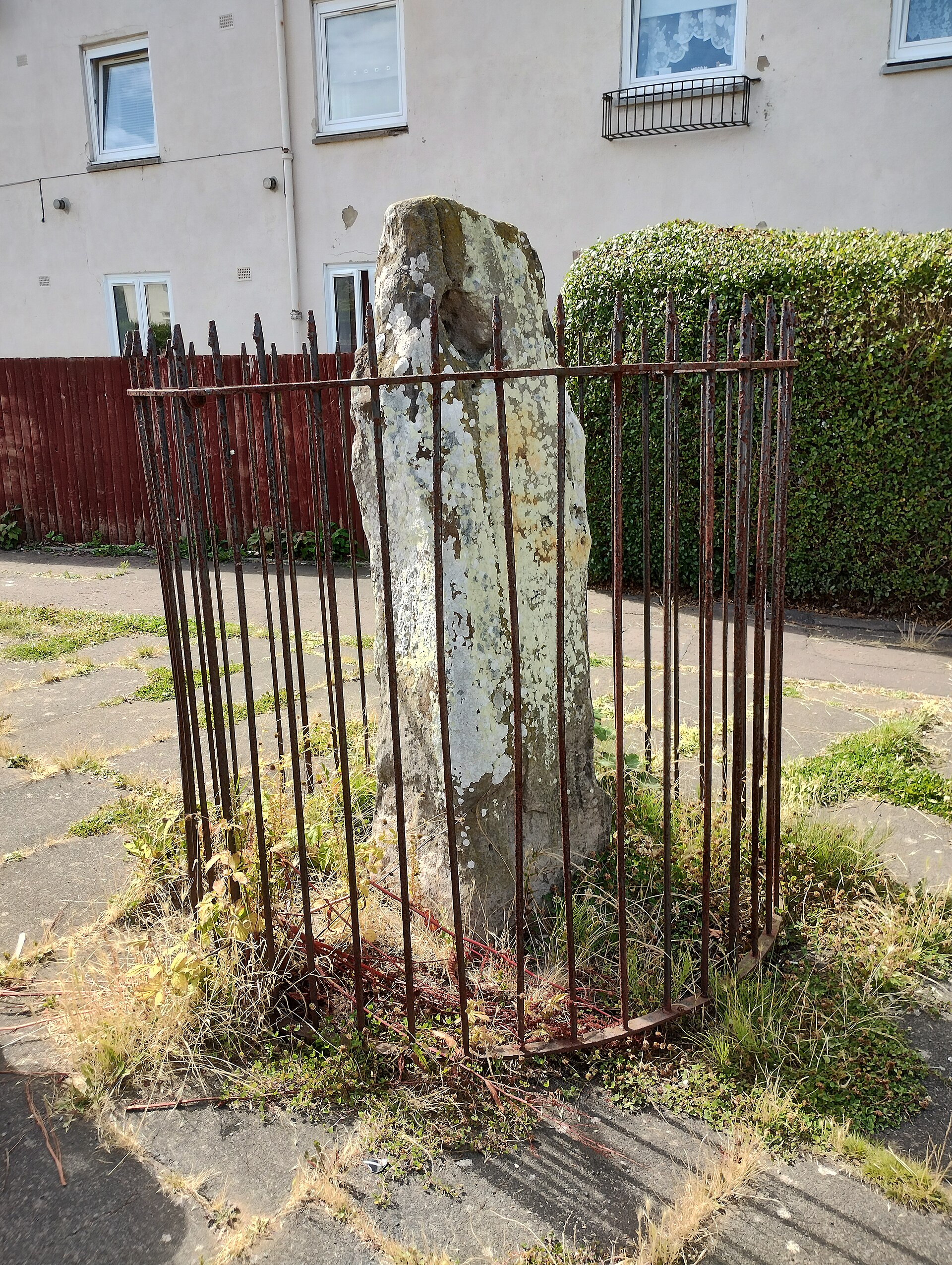
Ravenswood standing stone
City of Edinburgh
The Ravenswood standing stone is a Bronze Age (roughly 2500–800 BC) monument whose repeated moves and survival within an Edinburgh housing estate m…
- Near Edinburgh
- Easy path

Fortified place · Medieval
Craigmillar Castle
City of Edinburgh
Craigmillar Castle is one of Scotland's best-preserved medieval castles, combining a Preston tower house and defensive courtyards with the pivotal…
- Near Edinburgh
- Some walking
Questions people ask
- What is Castle Law known for?
- It is best known for the Castlelaw Hill Fort, an Iron Age stronghold with earthwork ramparts, ditches, timber palisades and a souterrain.
- What did the souterrain do?
- The souterrain was used to store agricultural produce. It forms part of the evidence that the fort supported everyday management of resources as well as defence.
- Who excavated Castlelaw Hill Fort?
- V. Gordon Childe excavated the site in 1932–33. His work on the rampart showed a clay-and-timber filling faced by stone.
Sources
- Wikipedia — Castle Law
- Wikidata — Castle Law
- Historic Environment Scotland — Castlelaw Hill Fort (accessed 2026-08-30)
Explore more: Fortified places · Iron Age · Midlothian
The Ancient Codex, in your pocket
Get the Pocket Codex app
Carry the directory with you — Castle Law and thousands of ancient places across Britain and Ireland, offline, wherever you roam.