
Cairnpapple Hill, on a dominating summit 312 metres above sea level with views from coast to coast in central lowland Scotland, was used and re-used as a major ritual site for around 4,000 years — in…
A burial place on a hill above Bathgate in West Lothian, used and rebuilt over several thousand years.
What follows is drawn from published sources, with each claim labelled by how firmly it is established.
The name
The origin of the name Cairnpapple Hill (or Cairniepapple) is uncertain — whether Brythonic, Goidelic, or a mixture. 'Cairn-' means cairn; the '-ie-' element means 'of the'; the final part is most problematic, possibly meaning tent (Welsh 'pabell', Gaelic 'puball'), people/congregation (Welsh 'pob(o)l', Gaelic 'pobull') or even eye. The name is therefore most likely to mean 'Cairn of the tent', 'Cairn of the people', or 'Cairn of the eye'.
History
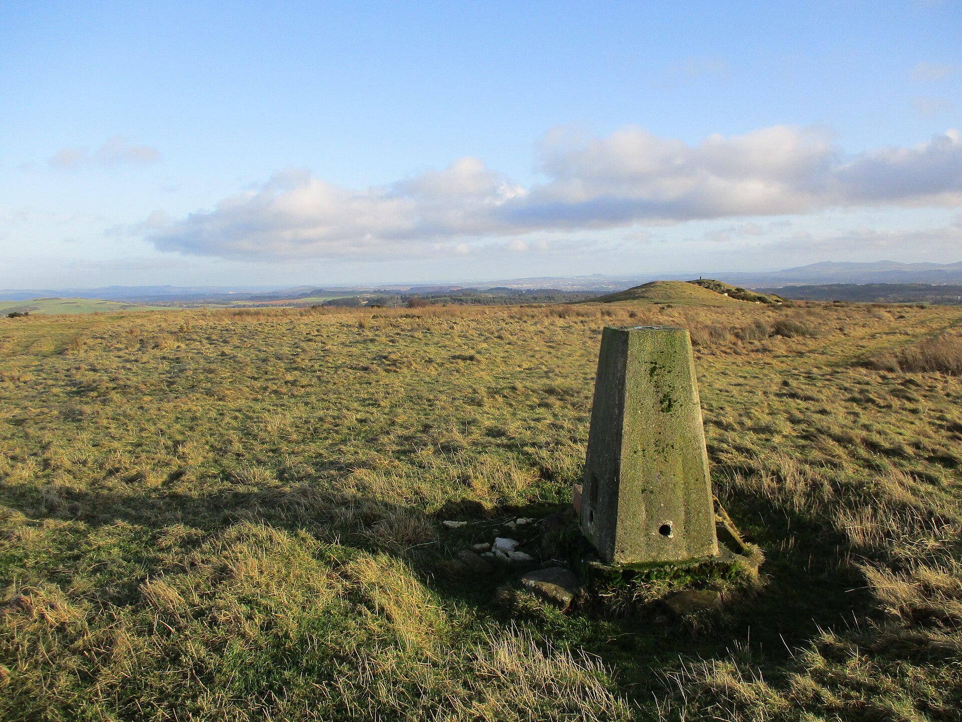
Cairnpapple Hill, on a dominating summit 312 metres above sea level with views from coast to coast in central lowland Scotland, was used and re-used as a major ritual site for around 4,000 years — in its day comparable to better-known sites such as the Standing Stones of Stenness. Neolithic ritual began around 3500 BC, with small hearths and precious offerings left on the hill including fine pottery bowls and stone axe-heads imported from Cumbria and Wales. Around 3000 BC a Class II henge was constructed — a bank outside a ditch enclosing an egg-shaped setting of 24 uprights (timber posts or possibly standing stones) around an inner setting.
A later Bronze Age phase added a small cairn with a standing stone and an arc of pits, six containing cremated bone; a burial beneath the cairn with wooden objects (perhaps a mask and club) and Beaker-style pottery indicates a date around 2000 BC. The cairn was twice enlarged, incorporating Bronze Age cists and cremation burials in inverted urns, turning the whole site into a tomb monument. Four east-west aligned graves inside the ditch, once thought Iron Age, are now considered early Christian on account of their alignment and dated to around 500 to 1000 AD.
The site was completely concealed by trees in the 19th century; in 1947-1948 excavations by Stuart Piggott uncovered the series of ritual monuments from successive prehistoric periods, and in 1998 Gordon Barclay re-interpreted the site for Historic Scotland.
People
-
Stuart Piggott
University of Edinburgh archaeologist whose 1947–48 excavation uncovered the henge, later burials and successive cairns spread across Cairnpapple’s summit.
-
Gordon Barclay
Archaeologist whose 1998 re-interpretation revisited Piggott’s excavation evidence fifty years later for Historic Scotland.
Cultural influences
-
The Neolithic offerings include stone axe-heads imported from Cumbria and Wales, evidence of long-distance prehistoric exchange networks reaching the hill.
-
Beaker-people-style pottery beneath the Bronze Age cairn ties the site to the wider Beaker tradition around 2000 BC.
Connections
-
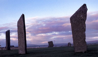
Photo: Otter at Dutch Wikipedia (Original text: Hopmans) / Wikimedia Commons / CC BY-SA 3.0 Standing Stones of Stenness
Historic accounts compare Cairnpapple’s long-lived ritual use and monumental setting with Stenness: both were major prehistoric ceremonial places, though on different Scottish archipelagos.
-
Hilderston silver mine
Site in the valley to the east of a large but short-lived mining operation following the discovery of silver in 1606
Discovery & excavation
In 1947-1948 Stuart Piggott excavated the hill, which had been completely concealed by trees in the 19th century, revealing a series of ritual monuments from successive prehistoric periods. The finds included precious Neolithic offerings (fine pottery bowls and imported stone axe-heads), a burial beneath the Bronze Age cairn with wooden objects perhaps a mask and club, Beaker-style pottery, Bronze Age cists, a food-vessel pot, and cremation burials in inverted urns. The 1940s excavations have been partly covered by a concrete dome replicating the second cairn so that visitors can go inside; surrounding post holes and graves are marked with colour-coded gravel like an archaeological plan.
What to look for
-
The concrete dome
The concrete dome replicating the second (large) cairn, which visitors can enter to see the reconstructed graves inside what was once a solid cairn.
-
The colour-coded gravel
Colour-coded gravel marking the surrounding post holes and graves like an archaeological plan — red gravel for upright pits, white gravel for the alleged early Christian burials.
-
The coast-to-coast view
The coast-to-coast summit views from 312 metres; the true top, with a trig point, lies just to the south.
Plan your visit
- Location
- 55.9281°N · 3.6225°W
- Nearest settlement
- Bathgate
- Access
- Paid entry — managed visitor site
- Terrain
- Easy going
- Start point
- (No postal address – 2km from Torphichen, 5km from Bathgate) · National Grid reference: NS 987 717 · Telephone: 01506 634622
- Time needed
- About 90 minutes
- Best time
- Open 1 April to 30 September: Daily, 10am to last entry at 4pm (closes 4.30pm). _Opening times and admission prices are subject to change_. 1 Apr to 30 Sept: Daily, 10am to last entry at 4pm (closes 4.30pm).
- What survives
- The excavated prehistoric remains are presented beneath and around a modern concrete dome that recreates the second cairn; coloured gravel marks graves and post-holes across the summit.
- Facilities
- A small visitor centre serves the site during its April-to-September opening season.
- Start point
- Cairnpapple Hill car park — Small car park near the summit approach; short uphill walk to the staffed monument enclosure.
Opening & admission
Free entry
- Open 1 April to 30 September: Daily, 10am to last entry at 4pm (closes 4.30pm).
- _Opening times and admission prices are subject to change_.
- 1 Apr to 30 Sept: Daily, 10am to last entry at 4pm (closes 4.30pm).
Nearby places
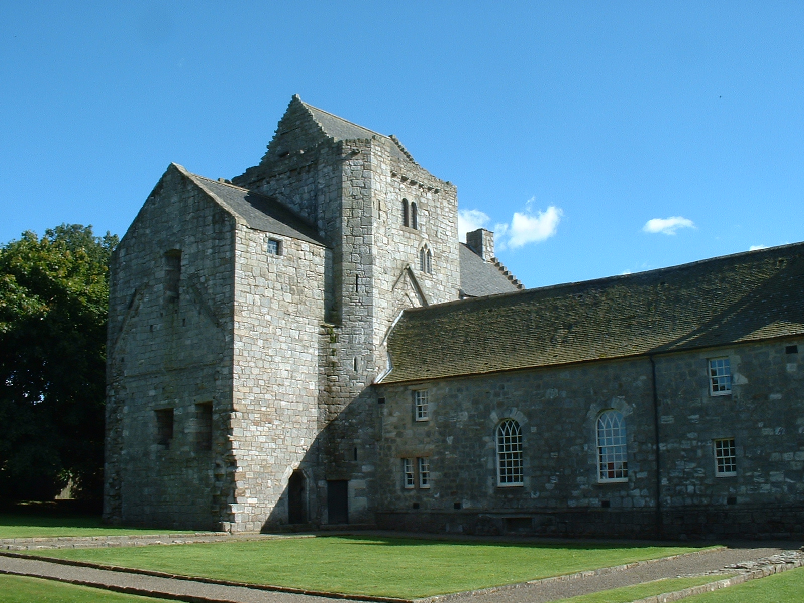
Building or ruin · Medieval
Torphichen Preceptory
West Lothian
The Knights Hospitaller of the Order of St John of Jerusalem were invited to Scotland in 1132 by David I, and the preceptory: their Scottish headqu…
- Near Torphichen
- 1 min walk from car park
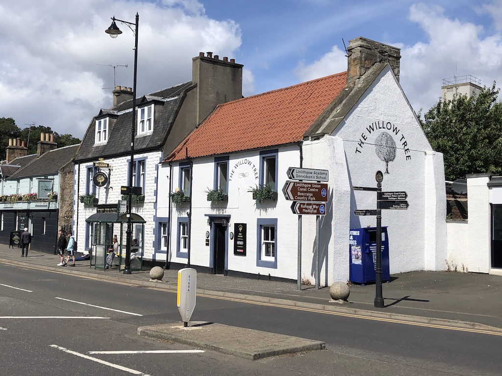
Ancient tree · Medieval
Katie Wearie's Tree
Perth and Kinross
Katie Wearie’s Tree was a named Linlithgow memorial to a drover girl, preserved in an early twentieth-century postcard even though little else is k…
- Near Perth and Kinross
Building or ruin · Medieval
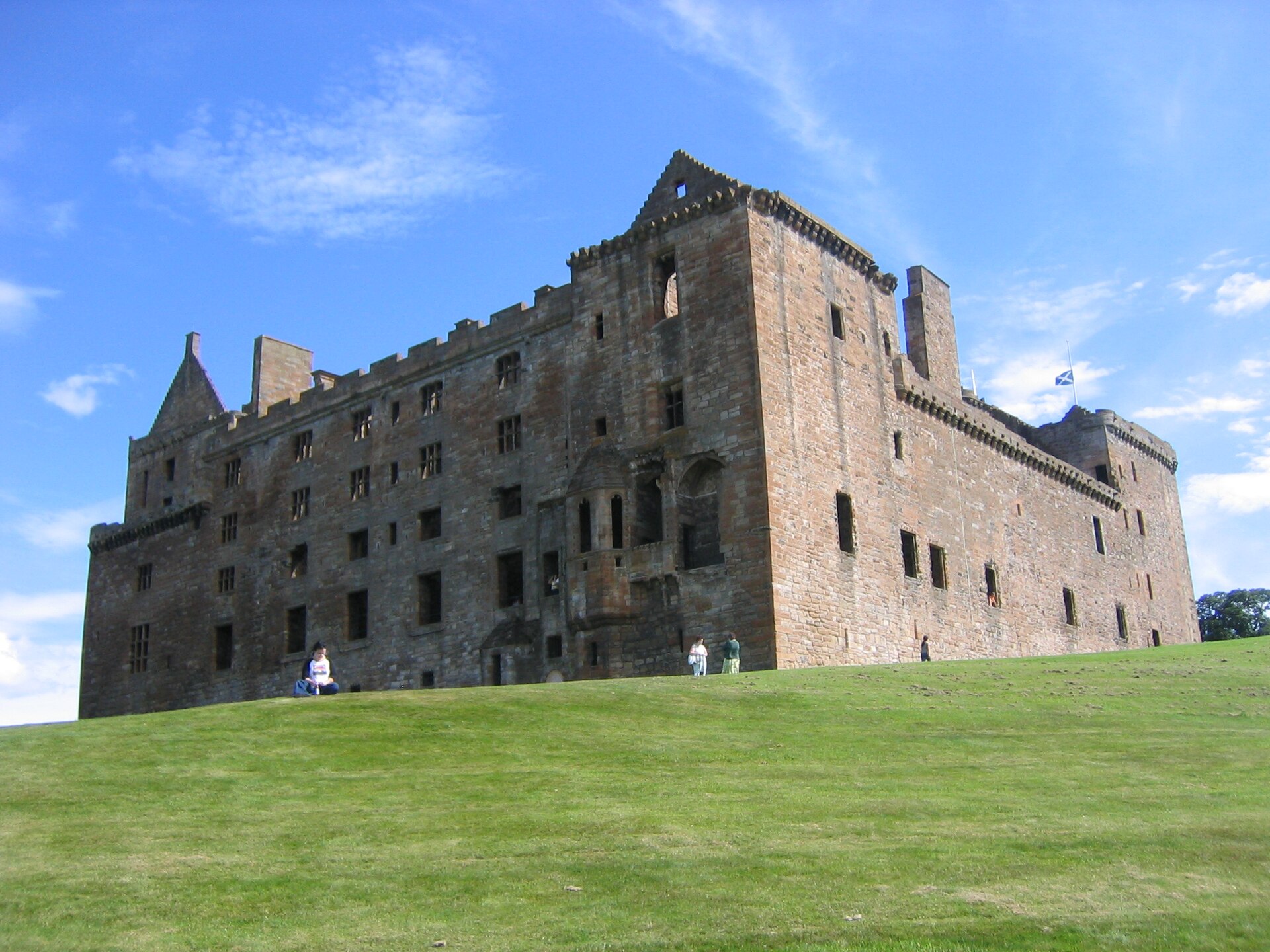
Linlithgow Palace
West Lothian
Taken back from the English by a hay merchant in 1313, birthplace of Mary Queen of Scots, and burned by accident in 1746.
- Near Linlithgow
Fortified place · Roman
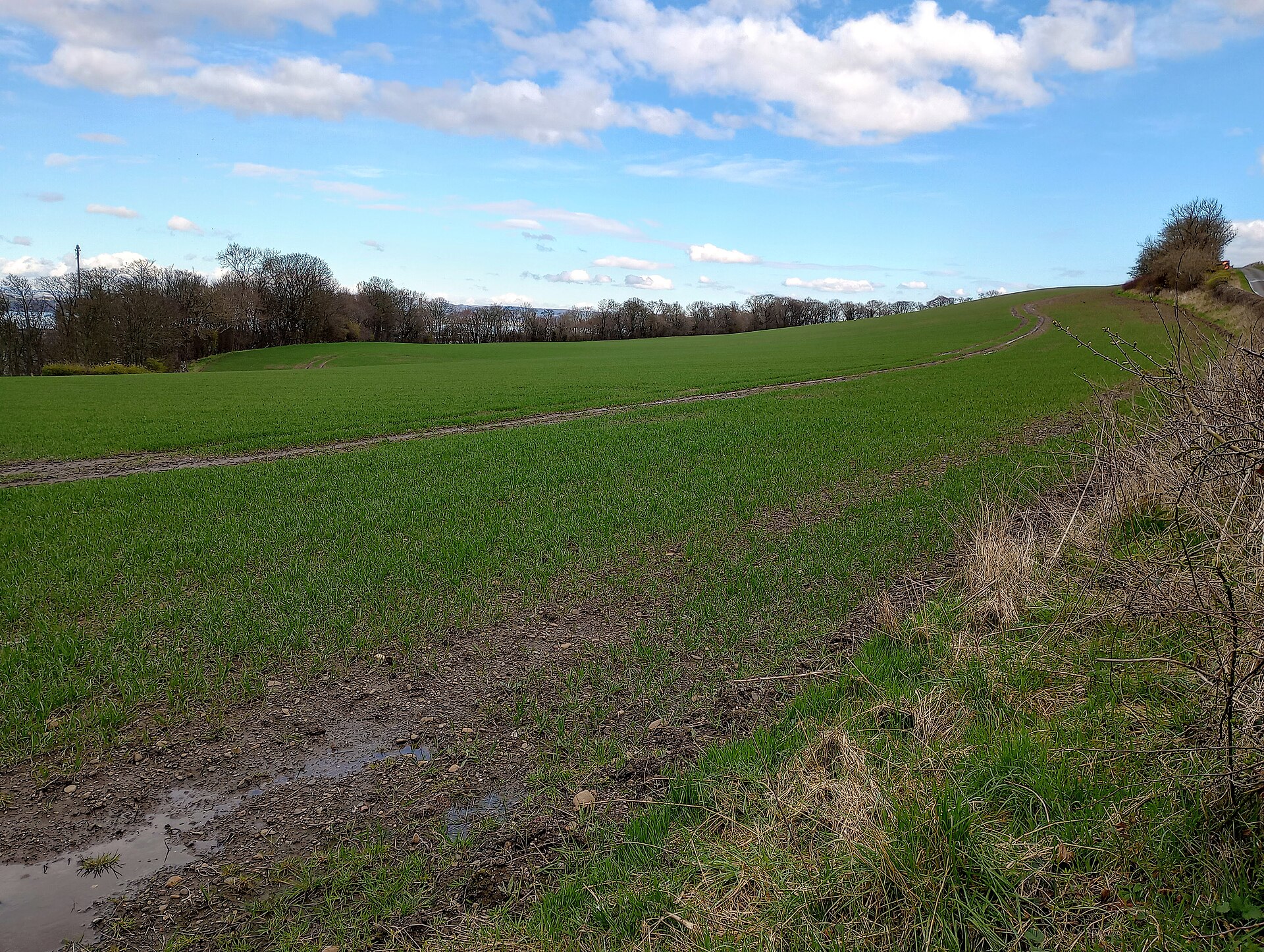
Inveravon
Falkirk
Inveravon is one of the Antonine Wall’s most uncertain fort sites, where limited excavation, geophysics and aerial photography reveal faint foundat…
- Some walking
Questions people ask
- What did excavators find at Cairnpapple Hill?
- Stuart Piggott’s 1947–48 excavations uncovered a sequence of ritual monuments from successive prehistoric periods, demonstrating that the hill was used and reused for around 4,000 years.
- What does the concrete dome cover?
- The dome partly covers the 1940s excavation and recreates the site’s second cairn, allowing the reconstructed graves to be seen inside while coloured gravel outside marks post-holes and burials.
Sources
- Canmore site record 47919 (accessed 2026-06-13)
- Wikipedia: Cairnpapple Hill (accessed 2026-06-13)
- Wikidata Q1025955 (accessed 2026-06-13)
Explore more: Sacred places · Prehistoric · West Lothian
The Ancient Codex, in your pocket
Get the Pocket Codex app
Carry the directory with you — Cairnpapple Hill and thousands of ancient places across Britain and Ireland, offline, wherever you roam.