
A Flavian glen-blocker fort found from the air in the 1970s — and given a name chosen to be hard for the English to say.
The name is the joke. Drumquhassle was christened in modern times, and the name was picked deliberately to be difficult for readers born in England to pronounce.
The fort itself was found from aerial photography in the late 1970s, east of Drymen in Stirlingshire and within sight of Loch Lomond. It belongs to the Flavian period and was built and briefly occupied under the administration of Sallustius Lucullus — a short life, which is normal for the forts of this frontier.
It is a glen-blocker: one of the forts placed to close a glen rather than to hold ground of its own. It is associated with the road that ran from Loudoun Hill past Barochan towards Malling, Bochastle and Dalginross, a line following the Highland Boundary Fault, and it has been suggested that more than one Roman road served it.
What follows is drawn from published sources, with each claim labelled by how firmly it is established.
History
Drumquhassle was a Roman fort associated with the Gask Ridge in Scotland, found from aerial photography in the late 1970s. It dates from the Flavian period and was built and briefly occupied during the administration of Sallustius Lucullus.
It is one of the so-called glen-blocker forts, placed to close off a glen, and it stands within sight of Loch Lomond in Stirlingshire, east of Drymen. It is associated with the road running from Loudoun Hill past Barochan towards Malling, Bochastle and Dalginross — a road on the Highland Boundary Fault frontier. The name given to the fort in modern times was chosen deliberately to be hard for English-born readers to pronounce, which is an unusual reason for a monument to be called what it is.
The Gask Ridge installations were laid out along a road rather than a wall, which makes them a frontier of a different kind from Hadrian's. A line of forts and fortlets watching a route controls movement without sealing it, and the system predates any walled frontier in Britain. Confirmation by geophysics and excavation after an aerial discovery is the standard sequence for a lost Roman site, and it matters because cropmarks alone establish shape but not date. The two excavations here, in 1984 and 1999, are what allow the fortlet to be placed around AD 70 to 80 rather than merely described.
Connections
-
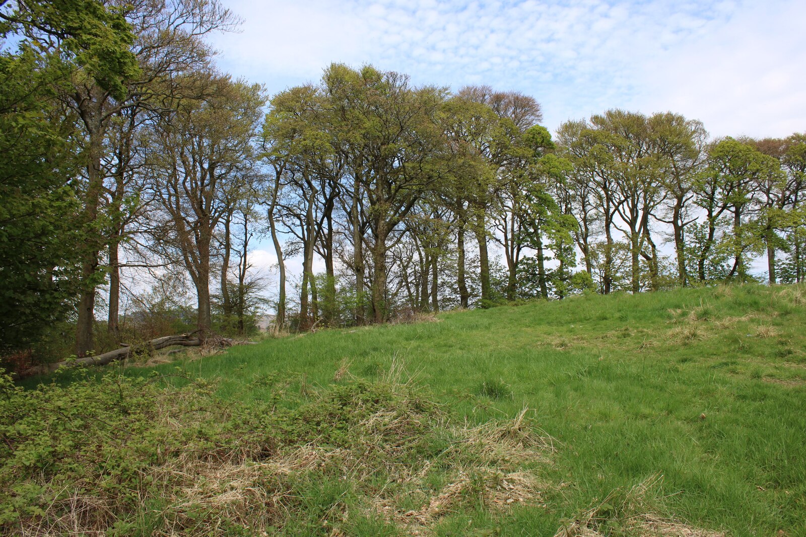
Photo: Richard Sutcliffe / Wikimedia Commons / CC BY-SA 2.0 A comparable Roman fort in the Stirling area, useful for placing Drumquhassle within the dispersed military sites that watched routes across the frontier zone.
-
A nearby landmark linked with medieval tradition, showing how later local memory overlays the earlier Roman landscape around Drumquhassle.
-
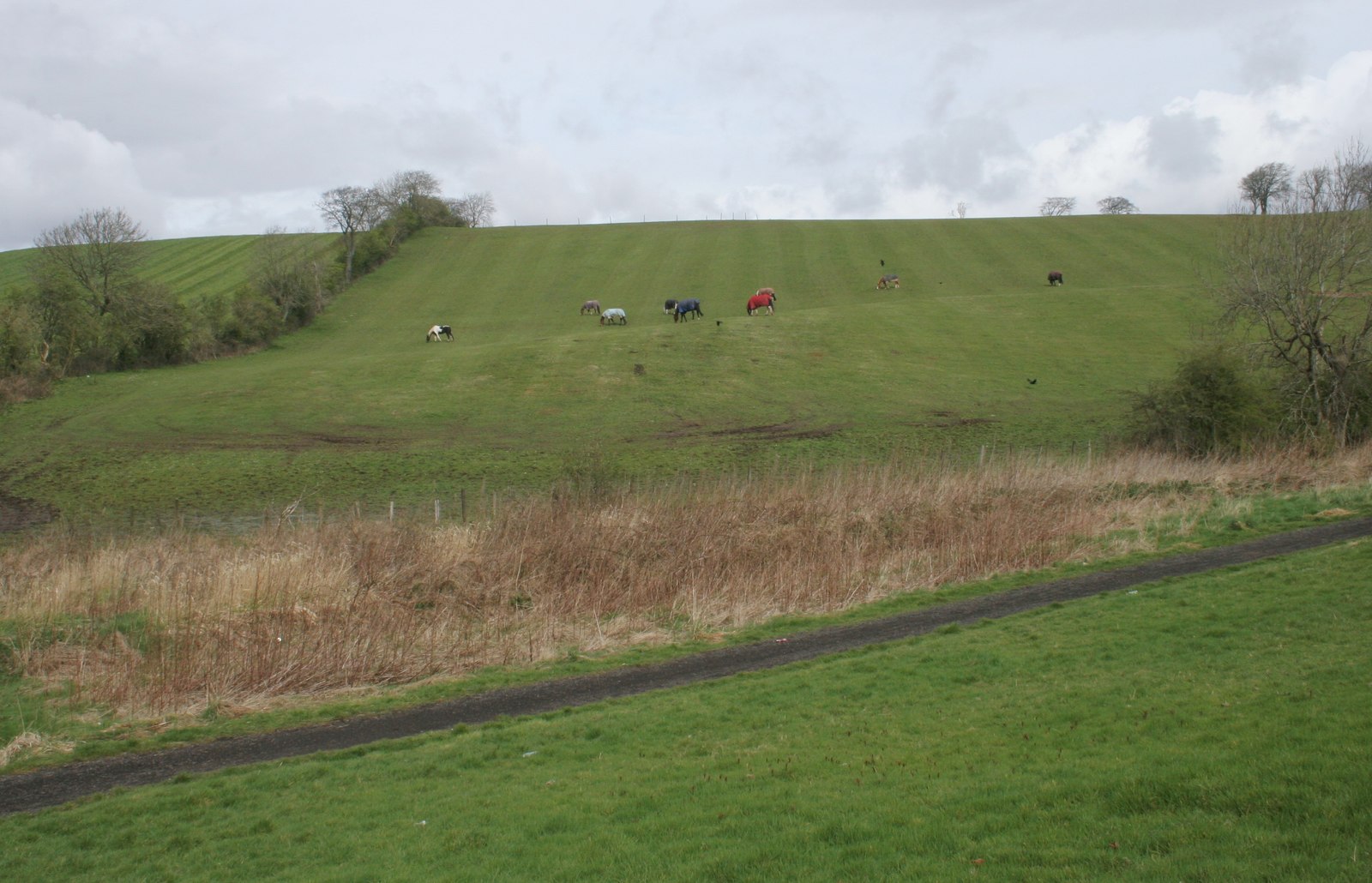
Photo: Richard Sutcliffe / Wikimedia Commons / CC BY-SA 2.0 Another Roman fort in the wider Stirling military landscape, comparable with Drumquhassle’s role in controlling movement through the Highland Boundary Fault zone.
Discovery & excavation
Aerial photography identified the fort in the late 1970s. Geophysical work and excavations in 1984 and 1999 then confirmed its date around AD 70–80 and its brief Flavian occupation.
What to look for
-
The glen-blocker position
The fort’s position was chosen to close a glen while retaining sight of Loch Lomond, an example of route control rather than a line of wall.
-
The frontier road
The line from Loudoun Hill past Barochan towards Malling, Bochastle and Dalginross, running along the Highland Boundary Fault.
-
Found from the air
The fort was identified by aerial photography in the late 1970s rather than from anything visible at ground level.
Plan your visit
- Location
- 56.0561°N · 4.4356°W
- Nearest settlement
- Drymen
- Access
- Open access
- Terrain
- Moderate walking
- Time needed
- About 30 minutes
- What survives
- A cropmark site with no surviving upstanding Roman structure; its plan and date are known from aerial survey, geophysics and excavation rather than visible walls.
Opening & admission
No admission details are recorded for this site; check current local access arrangements before travelling.
Nearby places
Ancient tree · Medieval
Bruce Tree
West Dunbartonshire
An oak said to have been planted by Robert the Bruce, burnt down by an arsonist in May 2004: and then cut up and carved into a replica of his throne.
- Near West Dunbartonshire
Fortified place · Roman
Castlehill Fort
East Dunbartonshire
Castlehill marks an Antonine Wall fort whose surviving plantation masks important Sixth Legion distance slabs and evidence for the frontier’s const…
- Near Bearsden
- Some walking
Fortified place · Roman
Cleddans
East Dunbartonshire
Cleddans confirms the Antonine Wall’s system of small interval fortlets, while its richly carved legionary slabs record the construction and imager…
- Near Duntocher
- Some walking
Questions people ask
- How was it found?
- By aerial photography, in the late 1970s.
- What is a glen-blocker fort?
- One placed to close off a glen. Drumquhassle stands within sight of Loch Lomond, east of Drymen.
- When was it occupied?
- In the Flavian period, briefly, during the administration of Sallustius Lucullus.
Sources
The Ancient Codex, in your pocket
Get the Pocket Codex app
Carry the directory with you — Drumquhassle and thousands of ancient places across Britain and Ireland, offline, wherever you roam.