
A small hillfort of the Iron Age, roughly 800 BC until the Roman conquest — a settlement defended by banks and ditches on high ground — with up to six ramparts, a quarter of its interior quarried away, and a sequence nobody can now read with confidence.
A quarter of the inside of Milkieston Rings has been quarried away, and the ramparts have been robbed for their stone. Everything that can be said about the fort has to be said around that damage.
What survives is a small enclosure with a great many defences. Two inner ramparts, now reduced to low stony banks, ring an area of about 49 metres north-north-west to south-south-east by 37 metres — 0.13 hectares, which is not much ground. Three or four outer ramparts were added subsequently, so at its fullest extent the fort had five or six lines of defence around an enclosure roughly the size of a tennis court and a half.
The order of building is recorded — the outer ramparts came later — but not much more than that. Two or three phases of construction have been suggested, and the suggestion is as far as it goes. The damage is severe enough that interpretation is genuinely difficult, and no confident sequence can be built on what is left.
The setting is a broad spur projecting north-west from Cavarra Hill, which gives ground falling away on three sides and explains the choice of position.
Inside, in the part that has not been destroyed, there are traces of two probable house-platforms — levelled areas cut into the slope to take a building. How many more stood in the quarried quarter is unknowable, which is the plainest way of putting what has been lost here. The site is a Scheduled Monument, but scheduling came long after the stone did.
Why so many ramparts around so little ground is the question the fort poses and cannot answer. Settling it would mean dating the phases against each other, and the quarrying has taken that possibility away along with the quarter of the interior it destroyed. What is left supports a description of the earthworks and very little else.
What follows is drawn from published sources, with each claim labelled by how firmly it is established.
History
Milkieston Rings is a prehistoric hillfort near the village of Eddleston, about five kilometres north of Peebles in the Scottish Borders, and a Scheduled Monument. It occupies Milkieston Hill, a broad spur projecting north-west from Cavarra Hill. There has been quarrying and stone-robbing at the site, to the extent that interpretation is difficult. Two or three phases of construction have been suggested, but the damage makes the sequence harder to establish than it would otherwise be.
There are two inner ramparts, now reduced to low stony banks. The innermost encloses a space about 49 metres north-north-west to south-south-east by 37 metres, an area of 0.13 hectares — a small enclosure by the standards of Borders hillforts. About a quarter of the interior of the fort has been severely damaged by quarrying. In what remains, there are traces of two probable house-platforms — levelled areas cut into the slope to take a building.
Three or four outer ramparts were built subsequently, so the fort grew outwards over time rather than being laid out in a single campaign. At its fullest extent it had five or six lines of defence around an enclosure of little more than a tenth of a hectare.
Cultural influences
-
A small hillfort enlarged through successive defences
Milkieston Rings grew from two inner ramparts to five or six defensive lines around a small enclosure with probable house platforms.
Connections
-
Eddleston
Milkieston Rings lies above the village of Eddleston, part of the cluster of defended prehistoric sites in the Eddleston Water landscape.
-
Peebles
The hillfort lies north of Peebles in the Tweed valley hinterland, relating a small defended spur settlement to the region’s later historic centre.
-
Cavarra Hill
Milkieston Hill forms a broad north-west spur from Cavarra Hill, a landform that gives the fort falling ground and its defensive position.
What to look for
-
The two inner ramparts
Now low stony banks, the innermost enclosing about 49 metres by 37 — 0.13 hectares, a small area for a fort with this many lines of defence.
-
The house platforms
Two probable house-platforms survive in the undamaged part of the interior, levelled areas cut to take a building.
-
The quarry damage
About a quarter of the interior has been severely destroyed by quarrying, and stone-robbing has affected the ramparts. The difficulty of interpreting the site is a direct consequence.
-
The spur
The fort sits on a broad spur projecting north-west from Cavarra Hill, which gives it ground falling away on three sides.
Plan your visit
- Location
- 55.7011°N · 3.1981°W
- Access
- Open access
- Terrain
- Rough ground — reasonable boots advised
- Time needed
- About 45 minutes
- What survives
- The inner ramparts survive as low stony banks with two probable house platforms, but quarrying has severely damaged about a quarter of the interior.
Opening & admission
- Upland earthwork site on rough ground; follow responsible Scottish outdoor access.
Nearby places
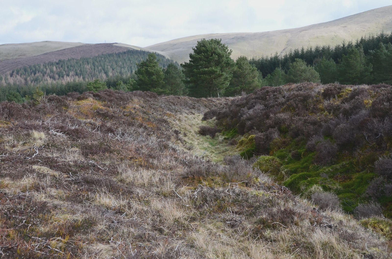
Fortified place · Iron Age
Northshield Rings
Scottish Borders
A hillfort whose outer defences are stronger than its inner ones: and an eight-metre gap that shows which were built first.
- Rough ground
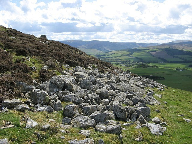
Fortified place · Iron Age
White Meldon
Scottish Borders
Four concentric rampart (the raised bank thrown up around a fortified enclosure) lines and at least 29 round-house platforms make this one of the l…
- Rough ground

Fortified place · Iron Age
Black Meldon
Scottish Borders
A hillfort whose seven round houses survive as ring-grooves: and five of them stand in a deliberate straight line.
- Rough ground
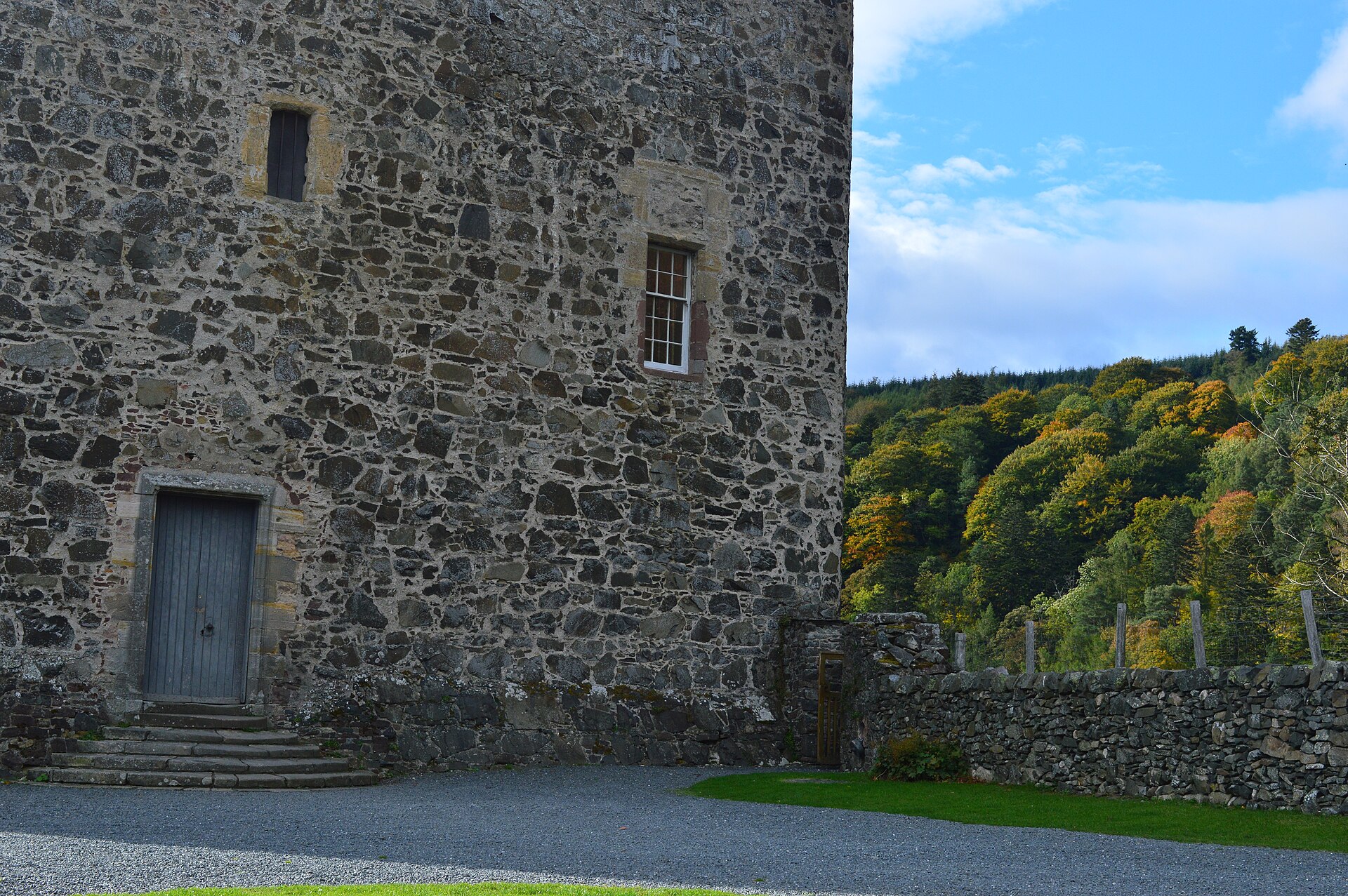
Fortified place · Medieval
Neidpath Castle
Scottish Borders
A single L-plan tower rebuilt almost nowhere else in its 750-year life, whose carved archway still names both families that shaped it: the Hays' go…
Questions people ask
- How big is Milkieston Rings?
- The innermost rampart encloses about 49 metres north-north-west to south-south-east by 37 metres, an area of 0.13 hectares, with two inner ramparts and three or four outer ones.
- Why is it hard to interpret?
- Quarrying and stone-robbing. About a quarter of the interior has been severely damaged, and the ramparts have been robbed of stone, so the two or three suggested phases of construction cannot be firmly established.
- What survives inside?
- Traces of two probable house-platforms in the part of the interior that has not been quarried away.
Sources
- Canmore site 51433
- Wikipedia: Milkieston Rings
- Wikidata: Q31106532
- Historic Environment Scotland scheduled monument SM2416 — Milkieston Rings,fort (accessed 2026-08-03)
Explore more: Fortified places · Iron Age · Scottish Borders
The Ancient Codex, in your pocket
Get the Pocket Codex app
Carry the directory with you — Milkieston Rings and thousands of ancient places across Britain and Ireland, offline, wherever you roam.