
A hillfort whose seven round houses survive as ring-grooves — and five of them stand in a deliberate straight line.
Five of the houses at Black Meldon stand in a straight line. That is the detail worth going up for, because interiors of hillforts are usually the hardest part to read and here the arrangement is unmistakable.
At least seven ring-groove houses survive within the fort — round houses whose walls stood in a circular trench cut into the ground, which is why their outlines are still legible when the buildings themselves are two and a half thousand years gone. They range from seven to ten metres in diameter, and five of the seven lie along the north-south axis in a row. Somebody laid this settlement out.
The fort itself is modest. It sits on a summit at 407 metres, roughly oval, 73 metres north to south by 40 west to east. Its boundary wall has collapsed into a band of debris about three metres wide, and on the north, west and south sides there is a second band beyond it, the remains of an outer wall.
Those three sides are the informative ones. The slope from the summit is gentle on the west and steeper elsewhere, and the double wall appears where the ground gives least help. As at most forts of this kind, the builders read the hill and put their effort where the hill did not.
Black Meldon does not stand alone. The hillfort on the neighbouring hill, White Meldon, lies about 1.6 kilometres to the east on the other side of Meldon Burn, and the two look across the valley at each other. Whether they were occupied together, in succession, or by communities in competition, the earthworks cannot say — but neither should be considered without the other. The site is a Scheduled Monument.
Whether the two Meldon forts were occupied at the same time, one after the other, or by communities in competition with each other, the earthworks cannot say. No excavation has dated either, and the relationship between them remains an open question rather than a settled one.
What follows is drawn from published sources, with each claim labelled by how firmly it is established.
History
Black Meldon is a prehistoric hillfort near the village of Lyne, about six kilometres west of Peebles in the Scottish Borders, and it is a Scheduled Monument. The hill on which it stands rises to 407 metres above sea level, high enough to command the ground between the Meldon burns. The slope from the summit is gentle on the west side and steeper on all the others, so the fort's builders had one approach to worry about and three that the shape of the hill defended for them without any work at all.
The roughly oval fort on the summit measures 73 metres north to south by 40 metres west to east. It is defined by a boundary wall which has long since collapsed and now survives as a band of tumbled debris about three metres wide. On the north, west and south sides there is the debris of a second, outer wall as well. Two lines of defence appear on exactly those flanks where the natural slope offered least, which is the ordinary logic of hillfort building.
Within the fort at least seven ring-groove houses survive — round houses whose walls once stood in a circular trench cut into the ground, which is why their outlines remain legible long after the buildings themselves have gone. They range from seven to ten metres in diameter. Five of those seven houses lie in a straight line along the north-south axis of the fort. A row rather than a scatter means the settlement was laid out to a plan, and it is the clearest surviving evidence of how the interior was organised.
The hillfort on the neighbouring hill, White Meldon, stands about 1.6 kilometres to the east on the other side of Meldon Burn. The two forts face each other across the valley, and neither of them is well understood without the other being taken into account alongside it as part of the same landscape.
Cultural influences
-
A planned hillfort paired with White Meldon
Black Meldon’s double walls strengthen its gentler flanks, while a row of ring-groove houses shows a planned interior facing White Meldon across the burn.
Connections
-
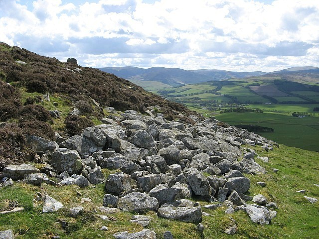
Photo: Eileen Henderson / Wikimedia Commons / CC BY-SA 2.0 Both are hillforts in the Meldon uplands, preserving evidence of prehistoric defended settlement in the Scottish Borders.
-
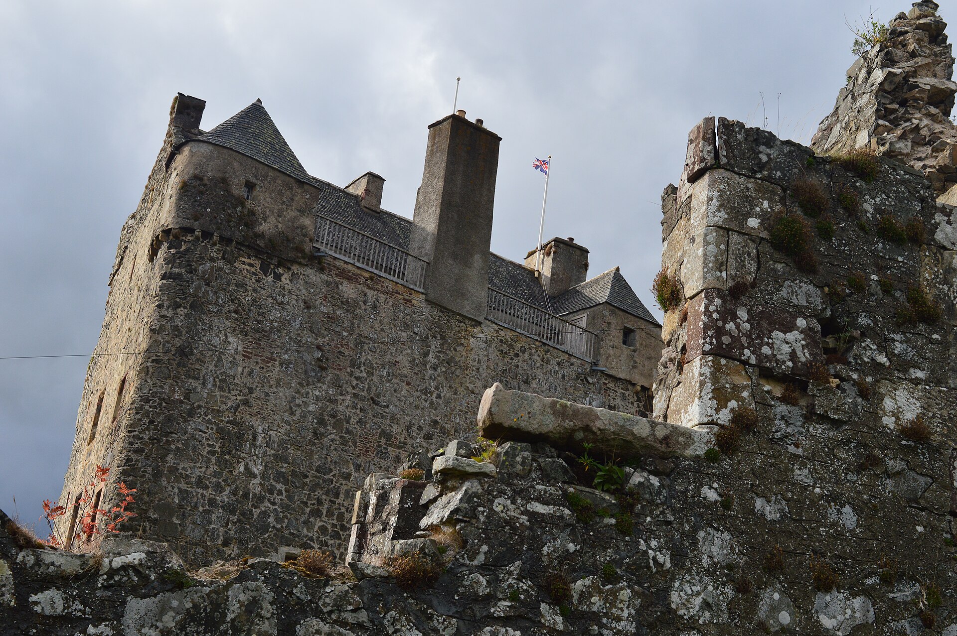
Photo: Society of Antiquaries of Scotland / Wikimedia Commons / CC BY-SA 4.0 The hillfort and later tower house represent successive forms of defence and elite residence in the Upper Tweed landscape.
-

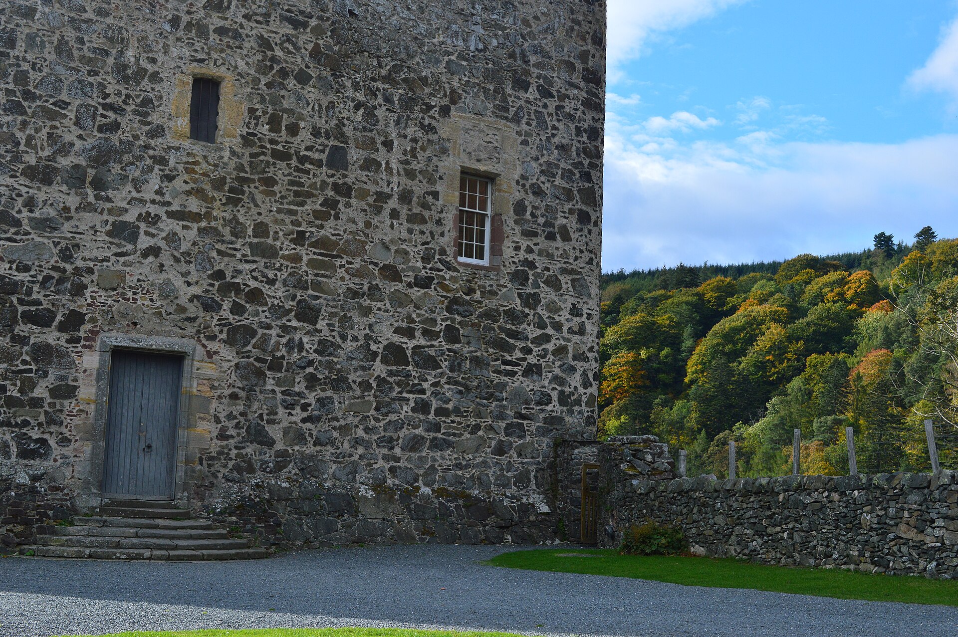
Photo: Paul Hermans / Wikimedia Commons / CC BY-SA 3.0 Black Meldon and Drochil Castle span different periods of fortified occupation in the Scottish Borders.
What to look for
-
The seven ring-groove houses
At least seven round houses survive inside the fort, seven to ten metres across, their walls once set in circular trenches cut into the ground.
-
Five houses in a line
Five of the seven lie in a straight line along the north-south axis of the fort — a deliberate arrangement rather than a scatter, and the clearest evidence here of how the interior was organised.
-
The wall reduced to debris
The boundary wall now survives as a band of tumbled stone about three metres wide. On the north, west and south there is a second band, the debris of an outer wall.
-
White Meldon across the burn
The hillfort on the neighbouring hill lies 1.6 kilometres east, across Meldon Burn. The pair are best understood together.
Plan your visit
- Location
- 55.6694°N · 3.2633°W
- Access
- Open access
- Terrain
- Rough ground — reasonable boots advised
- Time needed
- About 60 minutes
- What survives
- The enclosing wall survives as a three-metre-wide band of tumbled stone, with an outer wall on three sides and seven ring-groove house outlines inside.
Opening & admission
- Upland hillfort; use responsible Scottish outdoor access and expect rough ground.
Nearby places
Fortified place · Iron Age
White Meldon
Scottish Borders
Four concentric rampart (the raised bank thrown up around a fortified enclosure) lines and at least 29 round-house platforms make this one of the l…
- Rough ground
Fortified place · Medieval
Neidpath Castle
Scottish Borders
A single L-plan tower rebuilt almost nowhere else in its 750-year life, whose carved archway still names both families that shaped it: the Hays' go…

Fortified place · Medieval
Drochil Castle
Scottish Borders
A palace-like fortress with a corridor running the full length of every floor: its builder's execution left the ambitious design frozen half-finish…

Fortified place · Iron Age
Milkieston Rings
Scottish Borders
A small hillfort of the Iron Age, roughly 800 BC until the Roman conquest: a settlement defended by banks and ditches on high ground: with up to si…
- Rough ground
The setting
Near Black Meldon, about 7 metres away.
Photo: Jim Barton / Wikimedia Commons / CC BY-SA 2.0
Near Black Meldon, about 16 metres away.
Photo: Rude Health / Wikimedia Commons / CC BY-SA 2.0
Near Black Meldon, about 17 metres away.
Photo: Iain Lees / Wikimedia Commons / CC BY-SA 2.0
Questions people ask
- What survives inside the fort?
- At least seven ring-groove houses, between seven and ten metres in diameter, with five of them lying in a straight line along the north-south axis.
- How big is the fort?
- Roughly oval, 73 metres north to south by 40 metres west to east, on a summit at 407 metres.
- What is White Meldon?
- The hillfort on the neighbouring hill, about 1.6 kilometres to the east on the other side of Meldon Burn.
Sources
- Canmore site 51547
- Wikipedia: Black Meldon
- Wikidata: Q31106555
- Historic Environment Scotland scheduled monument SM2703 — Black Meldon,fort (accessed 2026-08-03)
Explore more: Fortified places · Iron Age · Scottish Borders
The Ancient Codex, in your pocket
Get the Pocket Codex app
Carry the directory with you — Black Meldon and thousands of ancient places across Britain and Ireland, offline, wherever you roam.