
One of Orkney’s best-preserved brochs, its intact guard chamber, wall gallery and internal well make the defensive engineering of a tower from about 800 BC until the Romans came readable on the ground.
The guard room off the entrance passage at Burroughston is still intact, and that is unusual enough to justify the trip to Shapinsay. Four metres of passage on the east side, 1.2 metres wide and 1.8 high, with an elongated chamber opening from the left — a piece of architecture from about 800 BC until the Romans came that can still be walked into rather than inferred.
From outside the broch reads as a grassy mound with very little masonry showing. Its external diameter is around eighteen metres and its internal around ten, which means the wall takes up as much ground as the room it encloses. That is the whole logic of the type: a broch wall is hollow, built as two skins with galleries and stairs between them, and here the outer face of the upper gallery is still visible with traces of an opening into it.
There is a deep well cut into the floor, drystone above and rock-cut below. Brochs frequently have one, and a water supply inside the walls says something about the kind of trouble they were meant to sit out.
In the sloping ground in front of the entrance are turf-covered traces of outbuildings, and a wall, ditch and rampart that probably once ran right round the tower can still be made out. It was excavated in the middle of the nineteenth century and is among the best-preserved brochs in Orkney.
What follows is drawn from published sources, with each claim labelled by how firmly it is established.
History
Burroughston Broch stands at the north-eastern corner of Shapinsay in Orkney, about four miles from the ferry pier, at the foot of a gently sloping field just above a low rocky shore. It overlooks the North Sea, with Linton Bay a little to the south. It was excavated in the middle of the nineteenth century and is still remarkably well preserved — among the best-preserved brochs anywhere in Orkney, with drystone walls up to four metres thick in places, a complete chamber intact off the entrance passage, and remains of stone fittings visible in the interior.
From outside, the building reads as a grassy mound with very little of the outer wall exposed. Its external diameter is around eighteen metres and its internal diameter around ten, so the thickness of the wall accounts for roughly as much ground as the room it encloses. The entrance passage is on the east side, four metres long, 1.2 metres wide and 1.8 metres high, with an elongated guard room opening from its left-hand side. That guard cell is the intact chamber that makes the site worth the crossing.
Inside, the outer face of the upper gallery is still visible and traces of an opening into it survive. A broch wall was hollow, built as two skins with galleries and stairs between them, and Burroughston is complete enough for that construction to be read on the ground. A deep well is set into the broch floor, its upper part built of drystone masonry and its lower part cut directly into the rock beneath. A water supply inside the walls is a recurring feature of these towers and says something about what they were built to withstand.
In the sloping ground in front of the entrance are traces of outbuildings, now turf-covered, and a wall, ditch and rampart that probably once encircled the whole structure are still evident around it.
Cultural influences
-
The broch’s well, guard cell, outbuildings and surrounding ditch and rampart show a defended coastal settlement.
Connections
-

Photo: C Michael Hogan / Wikimedia Commons / CC BY-SA 2.0 Shapinsay
Burroughston Broch stands on north-eastern Shapinsay, about four miles from the island’s ferry pier.
-

Photo: C Michael Hogan / Wikimedia Commons / CC BY-SA 2.0 Linton Bay
Burroughston stands north of Linton Bay on Shapinsay’s east coast, overlooking the sheltered coastal inlet.
-

Photo: photo © by Tomasz Sienicki [user: tsca, mail: tomasz.sienicki at gmail.com] / Wikimedia Commons / CC BY 2.5 North Sea
Burroughston Broch overlooks the North Sea from Shapinsay’s low rocky shoreline, defining its exposed coastal setting.
Discovery & excavation
Mid-nineteenth-century excavation revealed the entrance chamber, upper gallery, floor well and traces of outbuildings around the tower.
What to look for
-
Guard chamber
An elongated guard room opens from the east entrance passage and survives unusually intact inside the broch.
-
Upper gallery
The outer face of the upper wall gallery and traces of its opening are visible inside.
-
Rock-cut well
A deep well is drystone-lined above and cut into bedrock below, securing water within the tower.
-
Outer defences
A wall, ditch and rampart are evident around the broch and its turf-covered outbuildings.
Plan your visit
- Location
- 59.0735°N · 2.8030°W
- Access
- Open access
- Terrain
- Moderate walking
- Time needed
- About 45 minutes
- Best time
- Daylight hours
- What survives
- The grassy mound retains its entrance, intact guard chamber, upper gallery, floor well and surrounding defensive traces.
Opening & admission
No reliable current admission details are recorded; verify before travelling.
- The broch is about four miles from the ferry pier on Shapinsay and overlooks the North Sea.
Nearby places
Sacred place · Prehistoric
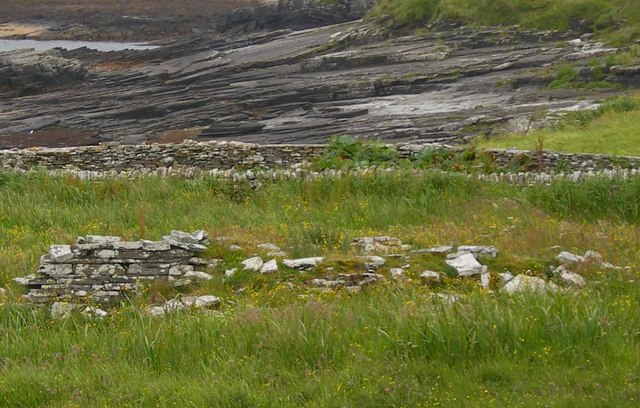
Linton Chapel
Orkney Islands
An enigmatic small coastal chapel whose proximity to the disputed Castle Bloody offers a rare glimpse of medieval worship beside a much older Shapi…
- Easy path
Sacred place · Prehistoric
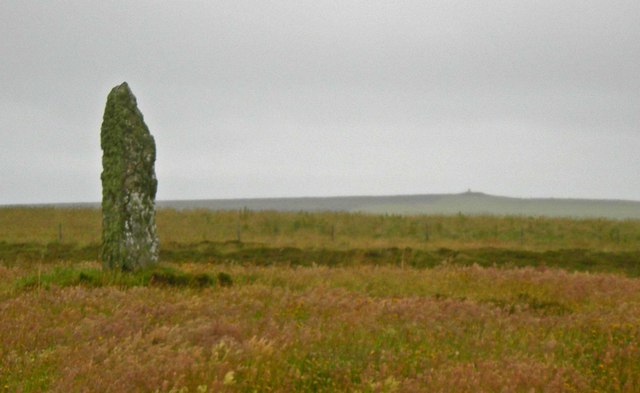
Mor Stein
Orkney Islands
An isolated three-metre standing stone whose uncarved bulk records the considerable communal labour of quarrying, moving and raising a monument who…
- Near Shapinsay
- Easy path

Tomb or burial place · Prehistoric
Castle Bloody
Orkney Islands
An unresolved Shapinsay structure that may be a burial mound or an underground passage connected with settlement, challenging easy readings of how…
- Easy path
Fortified place · Iron Age
Loch of Tankerness
Orkney Islands
A shallow loch whose shrinking water exposed a Bronze Age house, while its shores bring together Iron Age, prehistoric and modern water-supply arch…
- Near Kirkwall
- Easy path
Questions people ask
- Where is it?
- At the north-eastern corner of Shapinsay, about four miles from the ferry pier, just above a low rocky shore overlooking the North Sea.
- How well preserved is it?
- It is among the best-preserved brochs in Orkney. The drystone walls are up to four metres thick in places and a complete chamber survives intact off the entrance passage.
- How big is the tower?
- Around eighteen metres in external diameter and ten internally — the wall occupies about as much ground as the space inside it.
- What is inside?
- The outer face of the upper gallery with traces of an opening into it, remains of stone fittings, and a deep well whose upper part is drystone masonry and lower part is cut into the rock.
- Is there anything outside the broch?
- Turf-covered traces of outbuildings in front of the entrance, and a wall, ditch and rampart that probably once encircled the structure.
Sources
The Ancient Codex, in your pocket
Get the Pocket Codex app
Carry the directory with you — Burroughston Broch and thousands of ancient places across Britain and Ireland, offline, wherever you roam.