
The Broch of Burrian is a tall circular tower of unmortared stone, a type of building found only in Scotland, on the rocky shore of North Ronaldsay.
The Broch of Burrian sits at the far southern tip of North Ronaldsay, the most northerly island in Orkney, on a small headland with rocky shore below it. A run of defensive earthworks cuts it off from the land behind.
That combination — a promontory, and banks thrown across its neck — is the standard economical way of fortifying a coastal site. The sea handles three sides, and the builders only have to deal with the fourth.
The tower itself is a broch: a drystone structure with hollow walls, built with two skins of masonry and galleries between them, of a kind found in Iron Age Scotland and nowhere else on earth. That one was raised on a small island at the northern edge of the archipelago says something about how much building effort these communities could command.
What follows is drawn from published sources, with each claim labelled by how firmly it is established.
History
The broch stands on the southern tip of North Ronaldsay, on a small headland beside a rocky shoreline in the Orkney Islands. It is cut off from the land behind it by a series of defensive earthworks, so the approach was fortified as well as the tower. A broch is a drystone tower with hollow walls, a building type found only in Iron Age Scotland and nowhere else. Placing one on a headland and then cutting banks across the neck is the standard way of using the sea to do most of the defensive work.
North Ronaldsay is the most northerly of the Orkney islands, which puts this among the most remote broch sites in the group — a substantial piece of building on a small island at the far edge of the archipelago, and evidence that the effort required to raise a tower like this was available even here.
Cultural influences
-
The broch used the sea on three sides and earthworks across the headland neck to secure the landward approach.
Connections
-
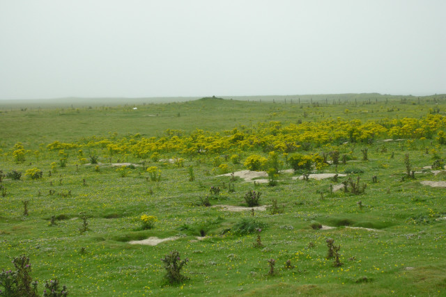
Photo: George Brown / Wikimedia Commons / CC BY-SA 2.0 Both are archaeological sites on North Ronaldsay, preserving evidence of long-term settlement and changing coastal land use.
-
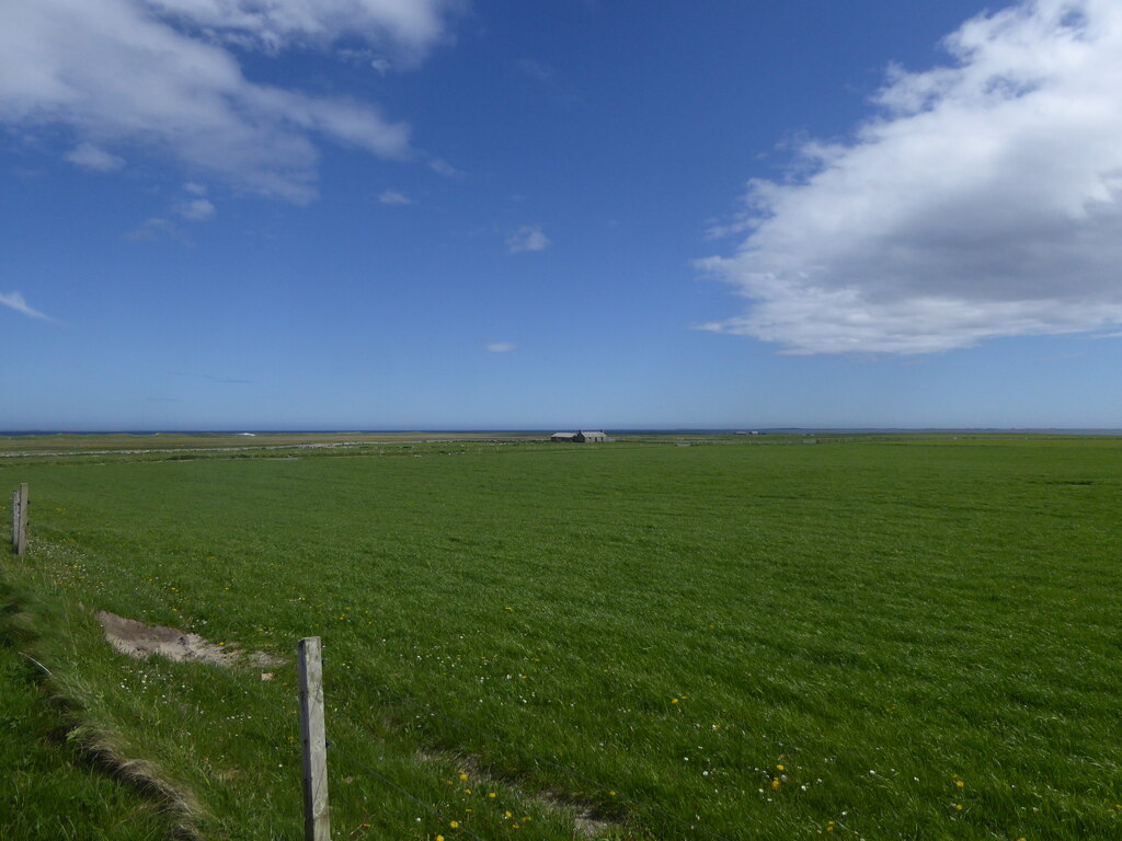
Photo: Alpin Stewart / Wikimedia Commons / CC BY-SA 2.0 The broch and boat burial represent different periods of Iron Age and Norse-era activity in Orkney’s maritime landscape.
-

Photo: Callum Black / Wikimedia Commons / CC BY-SA 2.0 The broch and chambered cairn span Orkney’s prehistoric sequence, linking Iron Age fortification with earlier funerary architecture.
Discovery & excavation
William Traill excavated the broch in 1870–71, recovering Iron Age material and a Pictish cross-slab with an ogham inscription from a later occupation level.
What to look for
-
Headland setting
The broch occupies a small rocky headland at the southern tip of North Ronaldsay.
-
Defensive earthworks
A series of banks cuts the headland off from the land behind it.
Plan your visit
- Location
- 59.3481°N · 2.4189°W
- Access
- Open access
- Terrain
- Rough ground — reasonable boots advised
- Time needed
- About 20 minutes
- Best time
- Daylight hours
- What survives
- The broch and its defensive earthworks remain on a rocky North Ronaldsay headland.
Opening & admission
No reliable current admission details are recorded; verify before travelling.
- The broch is on a small headland beside a rocky shoreline on North Ronaldsay.
Nearby places
Ancient place · Prehistoric
Tofts Ness
Orkney Islands
Tofts Ness is a Sanday peninsula with ancient mounds, cairns, enclosures and structural remains, alongside evidence of later shipwrecks.
- Near Sanday
- Some walking
Tomb or burial place · Prehistoric
Scar boat burial
Orkney Islands
A Viking boat burial on Sanday, dating from between 875 and 950.
- Near Sanday
- Some walking

Tomb or burial place · Prehistoric
Quoyness Chambered Cairn
Orkney Islands
A tomb mistaken for a broch until 1867, holding at least ten adults and possibly four children in a stone-lined cist: a box grave built of slabs: w…
- Near Sanday
- 20 min walk from car park
- Easy path

Tomb or burial place · Prehistoric
Huntersquoy chambered cairn
Orkney Islands
An exceptionally rare two-storey tomb, its opposed entrances and flooded lower chamber reveal two burial spaces stacked within one small Eday mound.
- Easy path
The setting
The rocky Point of Burrian, where the broch stands on the headland.
Photo: Anne Burgess / Wikimedia Commons / CC BY-SA 2.0
Questions people ask
- Where does the broch stand?
- On the southern tip of North Ronaldsay, on a small headland beside a rocky shoreline. It is cut off from the land behind by a series of defensive earthworks, so the approach was fortified as well as the tower.
- Why build on a headland?
- Placing a broch on a headland and then cutting banks across the neck is the standard way of letting the sea do most of the defensive work.
- What does its position tell us?
- North Ronaldsay is the most northerly of the Orkney islands, which makes this among the most remote broch sites in the group — a substantial piece of building on a small island at the far edge of the archipelago, and evidence that the effort a tower like this demanded was available even here.
Sources
The Ancient Codex, in your pocket
Get the Pocket Codex app
Carry the directory with you — Broch of Burrian and thousands of ancient places across Britain and Ireland, offline, wherever you roam.