
A drystone tower on Skye's Waternish coast still stands over two and a half metres high, with its internal gallery wall exposed to view along the eastern side.
On the Waternish peninsula a round drystone tower stands on a rock above the Borrafiach Burn, its walls still reaching over two metres in height on the sheltered south side. Seen from a distance the broch reads as little more than a grassy hump on the skyline, but closer inspection reveals coursed stonework that has held its shape for roughly two thousand years, a rare survival on this stretch of Skye’s north coast.
The entrance faces northwest, and at some point after the tower was first built, someone narrowed the passage on its northeast side by adding extra walling — a small but telling sign that the building was altered and re-used rather than raised once and abandoned. Inside, a long run of the outer face of the intramural gallery, the hollow passage built within the thickness of the wall itself, remains exposed on the east side, giving a clear look at the double-wall technique that let broch builders raise such tall, freestanding towers without mortar.
Remote even by Skye standards, some eight kilometres northwest of the village of Lusta, Dun Borrafiach rewards the walk with an intact cross-section of Iron Age engineering rather than a manicured visitor site.
What follows is drawn from published sources, with each claim labelled by how firmly it is established.
History
Some time in the Iron Age — most probably within a century or two either side of the birth of Christ — a broch-building community raised this drystone tower on its rocky outcrop above the Borrafiach Burn, choosing a site that commanded views along the Waternish coastline and gave the double-skinned wall a stable rock footing to bear its own considerable weight.
At some later point in antiquity the northeast side of the entrance passage was deliberately narrowed by the insertion of additional walling, a modification that altered the broch's original approach and suggests the tower continued to be occupied, adapted, or defended well after its first construction rather than falling out of use immediately.
Cultural influences
-
Broch construction on a coastal outcrop
The double-skinned wall uses the rocky outcrop for its footing and the Waternish coast for long views, while later narrowing of the entrance shows the fort was adapted after its first build.
Connections
-
Both are Iron Age broch sites on Skye, preserving the regional tradition of stone-built round towers and their associated settlement landscapes.
-

Photo: John Allan / Wikimedia Commons / CC BY-SA 2.0 Both are prehistoric broch sites on Skye, useful as separate examples of the island’s Iron Age tower tradition rather than one shared structure.
-
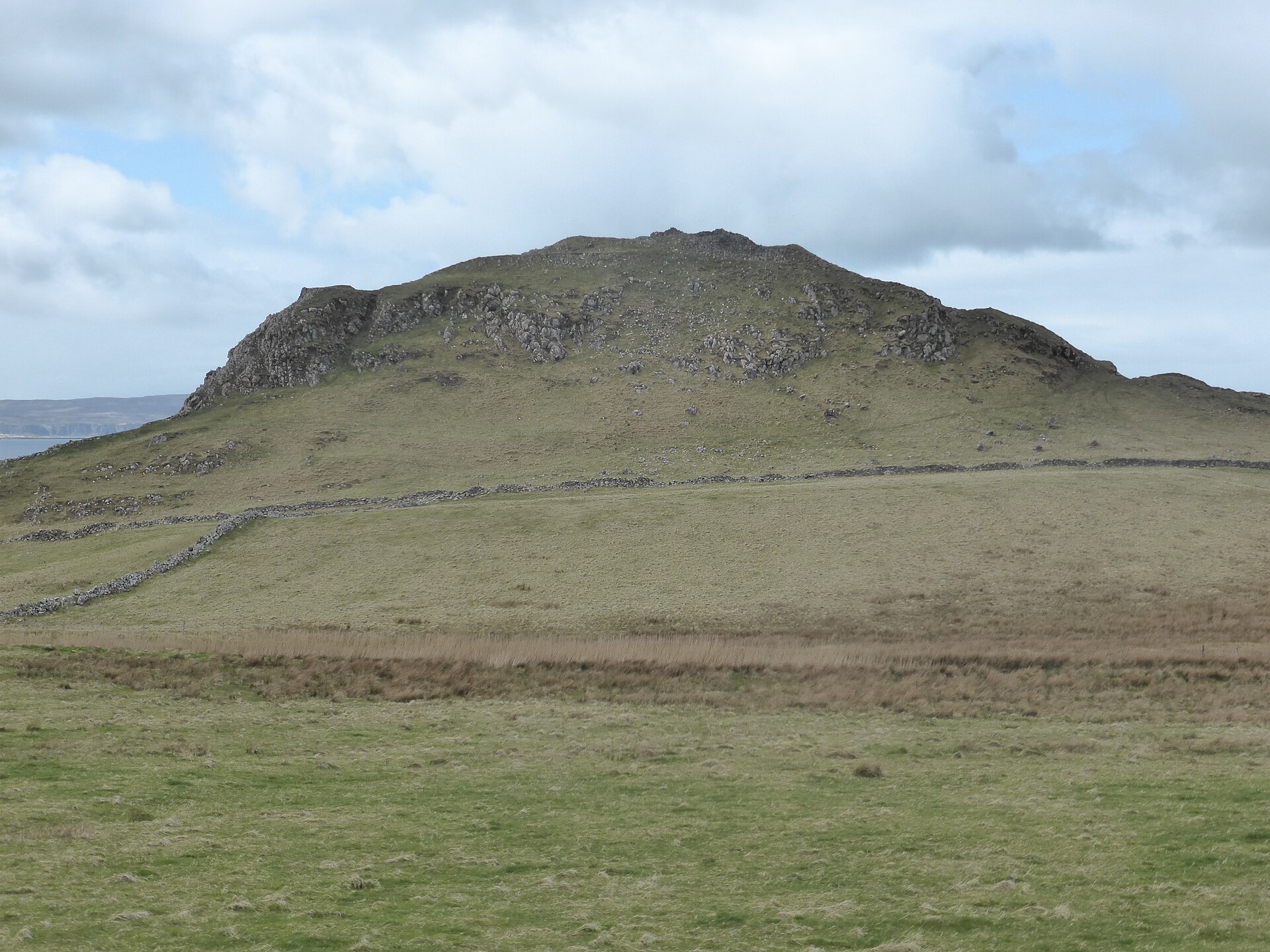
Photo: IBM Ralston / Wikimedia Commons / CC BY-SA 4.0 Both are defended prehistoric sites in the Skye landscape, but Dun Borrafiach is a broch while Dun Skudiburgh is a hillfort; their relationship is comparative rather than institutional.
Discovery & excavation
RCAHMS measured Dun Borrafiach in 1921 and revisited it in 1961 and 1990; the later survey recorded the surviving outer wall face on the south half and the altered entrance passage.
What to look for
-
Surviving wall height
On the south side the broch wall still stands to about 2.7 metres, giving a real sense of the tower's original scale.
-
The narrowed entrance
On the northwest side, the entrance passage shows where extra walling was inserted on its northeast face to narrow the original opening.
-
Intramural gallery wall
A long stretch of the outer face of the gallery built within the thickness of the wall is exposed on the east side of the interior.
Plan your visit
- Location
- 57.5786°N · 6.6263°W
- Nearest settlement
- Halistra
- Access
- Open access
- Terrain
- Rough ground — reasonable boots advised
- Time needed
- About 30 minutes
- Best time
- Daylight, for the surviving south wall, entrance passage and gallery face.
- What survives
- The broch wall survives to about 2.7 metres on the south side, with the narrowed entrance and interior gallery face still visible.
Opening & admission
- Rocky outcrop overlooking Borrafiach Burn; access not established.
Nearby places
Fortified place · Iron Age
Dun Hallin
Highland
Its walls still rise close to four metres, with an intact mural gallery and lintel in place: one of Skye's better-preserved brochs, and one never d…
- Near Hallin
- Some walking

Fortified place · Iron Age
Dun Fiadhairt
Highland
A double-walled stone tower dating the period from roughly 800 BC to the Roman conquest stands on a loch-side knoll near Dunvegan, excavated in 189…
- Near Dunvegan
- Rough ground
Fortified place · Iron Age
Dun Skudiburgh
Highland
A vitrified (burnt so fiercely that the stone melted and set again) Iron Age (from about 800 BC until the Romans came) fort with a later dun built…
- Near Uig
- Rough ground

Fortified place · Iron Age
Dun Cruinn
Highland
A smaller broch or dun was built inside the ruins of an earlier hillfort on the same rocky knoll: two separate strongholds, one after the other, on…
- Near Dunvegan
- Rough ground
The setting
Near Dun Borrafiach, about 16 metres away.
Photo: Gordon Hatton / Wikimedia Commons / CC BY-SA 2.0
Near Dun Borrafiach, about 45 metres away.
Photo: Gordon Hatton / Wikimedia Commons / CC BY-SA 2.0
Questions people ask
- What is Dun Borrafiach?
- An Iron Age broch, a drystone defensive tower, on the north coast of Skye's Waternish peninsula, overlooking the Borrafiach Burn.
- How tall are the surviving walls?
- The wall still stands to about 2.7 metres on the south side, with an external diameter of 16.5 metres.
- Where exactly is it located?
- On a rocky outcrop on the Waternish peninsula of Skye, roughly 8 kilometres northwest of the village of Lusta.
- What can visitors see inside the broch?
- A long stretch of the outer face of the intramural gallery wall is visible on the east side of the interior.
- Was the entrance altered after it was built?
- Yes, the northeast side of the entrance passage was narrowed in antiquity by inserting additional walling.
Sources
- Wikipedia: Dun Borrafiach
- Wikidata: Dun Borrafiach
- Wikimedia Commons: Dun Borrafiach
- Canmore — Skye, Dun Borrafiach
Explore more: Fortified places · Iron Age · Highland
The Ancient Codex, in your pocket
Get the Pocket Codex app
Carry the directory with you — Dun Borrafiach and thousands of ancient places across Britain and Ireland, offline, wherever you roam.