
Nine stones on a circle six and a half metres across, all but one of them down, with a causeway running thirty metres east — surrounded now by the housing of west Dundee.
One stone stands. It measures 1.6 metres tall, 1.5 metres wide and 0.7 metres thick, and it is the only member of the circle still upright. The other eight lie where they fell, or possibly where they were always laid — the point is not settled, and it matters, because a circle of deliberately recumbent stones is a different kind of monument from a ruined one.
The ring is small, about 6.5 metres across, and it sits on a slight mound with the trace of a shallow ditch around it. Running east from the circle is a raised causeway some thirty metres long and three to four metres wide, with a shallow ditch to either side. Nothing corresponding to it survives on the west.
The circle stands in public ground on the north-western edge of Dundee, in the Charleston area just west of Myrekirk Road. It is known locally as the Myrekirk, and older records also call it Farm of Corn or Liff Railway Station. It is a scheduled monument.
What follows is drawn from published sources, with each claim labelled by how firmly it is established.
History
The circle is late Neolithic or Bronze Age in date. It originally consisted of nine stones set on a ring roughly 6.5 metres in diameter, which is small by the standards of Scottish circles and places it firmly among the domestic-scale monuments rather than the great ceremonial rings. All nine stones survive, but only one is upright. Whether the remaining eight fell or were never raised at all is genuinely uncertain, and the question decides what kind of monument this is — a collapsed circle of standing stones, or a recumbent circle in which the stones were always meant to lie.
The setting has been altered as much by the ground as by the stones. The circle stands on a slight rise, with evidence of a shallow ditch running round it, and a raised causeway extends eastward for about thirty metres, three to four metres wide, with a shallow ditch on either side. No matching approach survives on the western side. An excavation in the middle of the nineteenth century is recorded as having recovered a jet ring of late prehistoric date, which passed to the National Museum of Scotland in Edinburgh. Details of that work are slight, as is usual for excavations of the period.
The monument is scheduled and lies in public ground on the north-western edge of Dundee, in the Charleston area west of Myrekirk Road, with Menzieshill to the south-west, Camperdown to the north and Lochee to the east. Its local name is the Myrekirk, and it appears in older records as Farm of Corn and as Liff Railway Station.
Cultural influences
-
Upright or recumbent
Everything said about this circle's character turns on whether the eight fallen stones were ever raised. The record leaves it open, and the site has been described both as a ruined circle and as a recumbent one.
-
A monument inside a city
Balgarthno now sits in public open ground within twentieth-century west Dundee. The scheduled area has been extended around it, which is the modern equivalent of the ditch and mound it was originally given.
Connections
-
Charleston, Dundee
The area of the city the circle now stands in, on the north-western edge, just west of Myrekirk Road.
Discovery & excavation
Excavated in the mid nineteenth century, when a jet ring of late prehistoric date was recovered. Details of the work itself are scant.
Finds now held at: National Museum of Scotland, Edinburgh.
What to look for
-
The one upright stone
1.6 metres tall, 1.5 metres wide and 0.7 metres thick — the only member of the nine still standing, and the reference point for reading the rest.
-
The eight on the ground
All the original stones survive. Whether they fell or were laid deliberately is unresolved, so it is worth looking at how they sit rather than assuming collapse.
-
The causeway to the east
A raised approach about thirty metres long and three to four metres wide, with a shallow ditch either side. There is nothing comparable on the western side.
-
The mound and ditch
The ring stands on a slight rise, with the trace of a shallow ditch around it — easy to walk over without noticing.
Plan your visit
- Location
- 56.4722°N · 3.0513°W
- Time needed
- About 45 minutes
Nearby places
.jpg?width=800)
Minor monument · Medieval
Market Cross, Main Street, Longforgan
Perth and Kinross
Removed to the grounds of Castle Huntly at the end of the eighteenth century, and not put back on Main Street until 1989.
- Near Longforgan
- Easy path
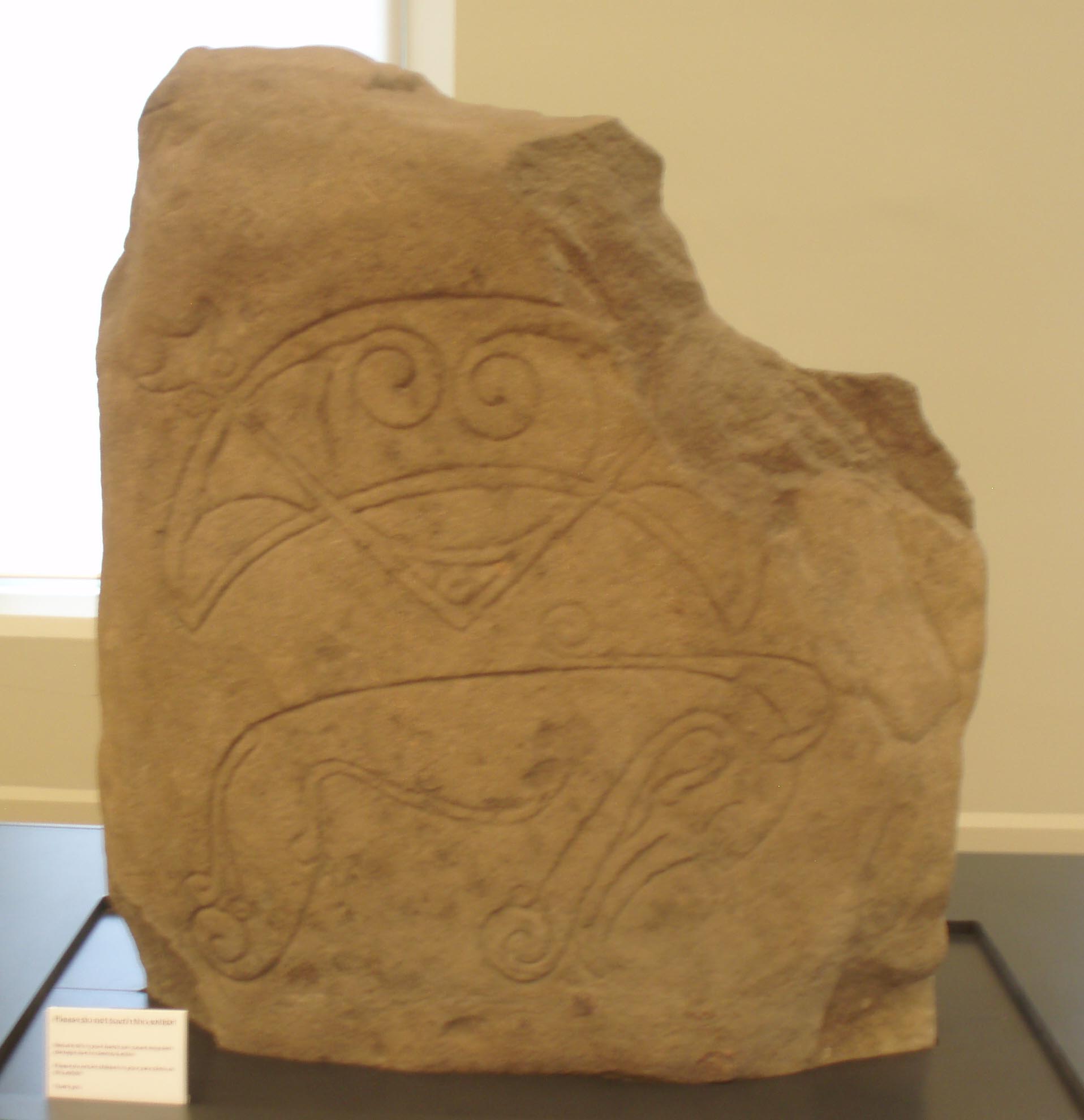
Carved stone · Pictish & early medieval
Strathmartine Castle Stone
Angus
Carved with the Pictish beast and the crescent and V-rod, the stone was recycled as ordinary wall-stone for generations before Dundee Museums rescu…
- Near Dundee
- Easy path
Minor monument · Medieval
Village And Market Cross, Rossie
Perth and Kinross
Two lions and two unicorns share the top of this cross, holding up a ball finial between them.
- Easy path
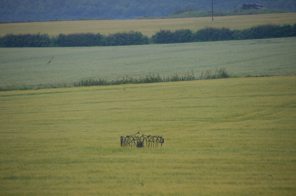
Carved stone · Pictish & early medieval
Balluderon Stone
Angus
Only the lower half of this Pictish (of the Picts, the people of northern and eastern Scotland from about AD 300 to 900) cross slab survives, yet l…
- Near Dundee
- Easy path
Questions people ask
- How many stones are there, and how many stand?
- Nine stones survive from the original circle. Only one is still upright, measuring 1.6 metres tall, 1.5 metres wide and 0.7 metres thick.
- Is Balgarthno a recumbent stone circle?
- It has been described as one, but the record is uncertain whether the eight fallen stones were ever raised. That question is what decides the classification.
- How old is the circle?
- Late Neolithic or Bronze Age. A nineteenth-century excavation recovered a jet ring of late prehistoric date, now in the National Museum of Scotland.
- Why is it called the Myrekirk?
- That is the local name for the circle. Older records also list it as Farm of Corn and as Liff Railway Station, after nearby landmarks.
Sources
The Ancient Codex, in your pocket
Get the Pocket Codex app
Carry the directory with you — Balgarthno Stone Circle and thousands of ancient places across Britain and Ireland, offline, wherever you roam.