
The Mote of Mark was a high-status sixth- and seventh-century fortified workshop in Rheged, with imported goods and evidence for skilled metalworking.
Above the Rough Firth, the granite Mote of Mark rises as a compact but commanding Early Medieval (roughly AD 400–1100, between the Romans and the Normans) stronghold. Its summit fort was not simply a refuge: excavation found imported tablewares and evidence for a specialist metalworking community.
Occupied within the kingdom of Rheged, the site connects south-west Scotland to wider trade and craft networks in the sixth and seventh centuries. Its final burning may belong to the collapse of that northern British kingdom.
What follows is drawn from published sources, with each claim labelled by how firmly it is established.
History
The Mote of Mark is a granite hill about 45 metres above the Rough Firth near the mouth of Urr Water and Rockcliffe. During the sixth and seventh centuries it lay within Rheged, a kingdom of the Celtic Old North. A timber-and-stone rampart enclosed about one third of an acre of the summit and was vitrified by intense burning.
Occupation began by the mid-sixth century before the rampart was built in a single phase at the end of that century. Imported ceramics and glass occur throughout the settlement, while non-ferrous metalworking continued into the late seventh century. A wine amphora from the eastern Mediterranean and high-quality roundels and belt buckles point to a site of notable status.
The summit workshop may have been the base of a high-status master craftsperson who controlled labour and food resources. Around the late seventh century the fort was burned and its rampart slighted. No written record explains this, but the possible connection with Rheged’s collapse and the Northumbrian advance gives the destruction a wider political context.
Cultural influences
-
The Mote of Mark was shaped by long-distance trade and specialist metalworking, evidenced by imported pottery and glass and a workshop producing high-status artefacts.
Connections
-
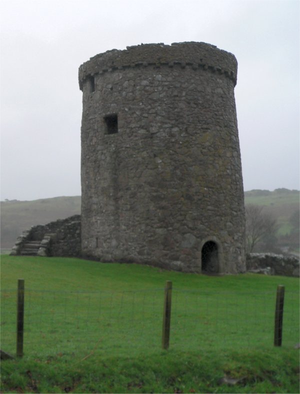
Photo: Oehoe at Dutch Wikipedia (Original text: Van de Beek) / Wikimedia Commons / CC BY-SA 3.0 A later fortified residence in the same regional landscape, contrasting the early medieval hillfort with Galloway’s tower-house tradition.
-
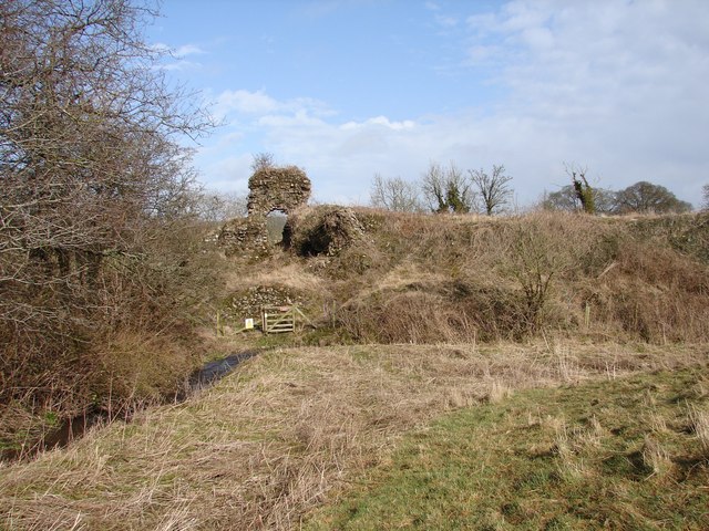
Photo: Chris Newman / Wikimedia Commons / CC BY-SA 2.0 A medieval castle that extends the area’s history of defended settlement beyond the earlier high-status enclosure at Mote of Mark.
-
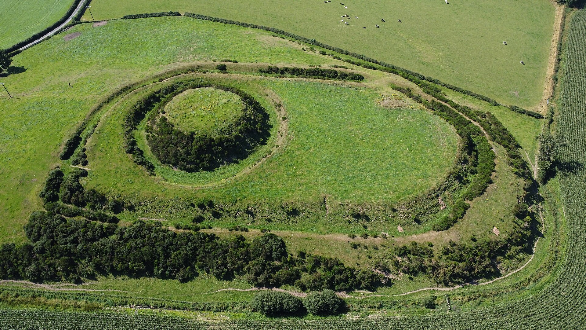
Photo: DsMaxwell / Wikimedia Commons / CC BY-SA 4.0 An earthwork castle whose motte-and-bailey form provides a later comparison with Mote of Mark’s earlier defended summit.
Discovery & excavation
Robert Riddell recognised the fort in 1790. Alexander Curle began excavation in 1913, followed by further excavations in 1973 and 1979.
Finds now held at: Mote of Mark summit.
What to look for
-
The granite hill
The fortified summit occupies a granite hill about 45 metres above Rough Firth, overlooking the mouth of Urr Water near Rockcliffe.
-
The summit enclosure
A timber-and-stone rampart once enclosed about one third of an acre of the summit; intense burning vitrified parts of that defensive wall.
-
The view to the Urr
The hill commands views towards Urr Water and the coast, positioning the sixth- and seventh-century settlement above a sheltered firth.
-
The defensible slopes
Steep granite slopes below the small summit strengthened the rampart’s defensive position while also separating the enclosed craft and settlement area from the shore.
Plan your visit
- Location
- 54.8677°N · 3.8012°W
- Time needed
- About 60 minutes
Opening & admission
Public access arrangements are not confirmed for the excavated hillfort; check current local guidance and do not enter private or managed land without permission.
Nearby places
Fortified place · Medieval
Orchardton Tower
Dumfries and Galloway
Orchardton is Scotland’s only cylindrical tower house, a deliberate fifteenth-century revival of an obsolete form within a later, more domestic tow…
- Some walking
Fortified place · Medieval
Buittle Castle
Dumfries and Galloway
Buittle combines a major Galloway motte-and-bailey castle complex, with an earth mound and an enclosed yard, with evidence of occupation from the M…
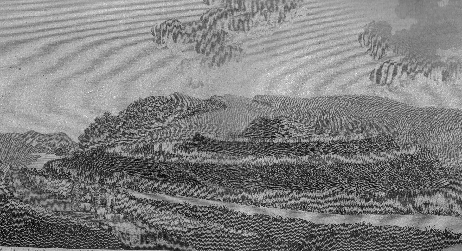
Fortified place · Medieval
Motte of Urr
Dumfries and Galloway
The Motte of Urr preserves the earthwork (earth moved and shaped into banks and ditches rather than built up in stone) of a twelfth-century baronia…
Sacred place · Medieval
Dundrennan Abbey
Dumfries and Galloway
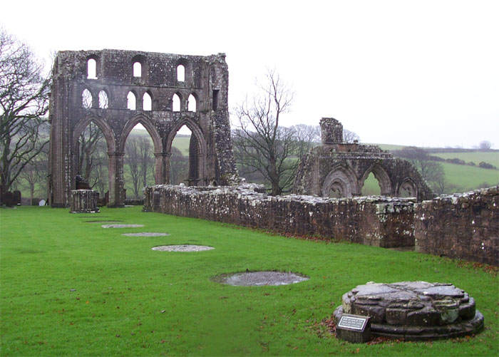
Dundrennan Abbey is a remarkably legible Cistercian ruin whose disciplined Romanesque (the round-arched style that came before Gothic) architecture…
Questions people ask
- When was the Mote of Mark occupied?
- It was occupied from the mid-sixth century into the late seventh century.
- What has excavation found there?
- Finds include imported pottery and glass, an eastern Mediterranean wine amphora, and evidence of non-ferrous metalworking.
- What happened to the fort?
- It was burned and its rampart slighted around the late seventh century.
Sources
The Ancient Codex, in your pocket
Get the Pocket Codex app
Carry the directory with you — Mote of Mark and thousands of ancient places across Britain and Ireland, offline, wherever you roam.