
A plain sandstone cross marks the lost village of Preston, whose population fell from a settled community to one inhabitant by 1844.
A plain sandstone cross stands on a later square stepped granite plinth inside a circular rubble boundary wall. The village it once served is gone. Preston is designated as a medieval village alongside its cross, and the wall, the plinth and the shaft inside them are what is left of it above ground.
The monument is believed to be the former market cross of the lost village of Preston. The village was said to have been a Burgh of Regality and once had a jail and public buildings. How old the cross itself is has never been established, and much of what happened to it between the burgh’s decline and its burial goes unrecorded.
The cross fell over and was buried between 1844 and 1850, then was rediscovered, set on its plinth and enclosed by the wall. A cross that was lost underground for a few years, then dug up and set on a new plinth inside a wall built to keep it there, is a fair emblem of how a place holds on to itself after the people have gone.
What follows is drawn from published sources, with each claim labelled by how firmly it is established.
History
Preston was remembered as a Burgh of Regality, held in the sixteenth century by Regent Morton, and it had a jail and public buildings of its own. A burgh of regality carried real jurisdiction, which is why the jail matters more than its size suggests. The cross is consequently tied to a settlement whose civic role has disappeared almost entirely, leaving one stone to stand for a burgh.
The Statistical Account recorded twenty-four farmers in the village some years earlier; by 1795 only three farmers and their cottages were left, and the rest of the settlement had gone. The New Statistical Account recorded a single inhabitant in 1844. A village of twenty-four farming households had emptied inside fifty years. Between 1844 and 1850 the cross fell and lay buried for a time, out of sight in the ground of a village that by then had almost no one left in it. It was found again shortly before 1850 and set up on a square stepped granite plinth, probably not far from where it had originally stood.
A random-rubble boundary wall was erected around the cross at the same time, forming the circular enclosure visible today. The cross’s own age remains unknown: it may be eighteenth-century or a good deal older.
People
-
Regent Morton
Held Preston as a Burgh of Regality in the sixteenth century, according to the account of the lost village.
Cultural influences
-
The lone sandstone cross marks a vanished burgh whose farmsteads, jail and civic buildings disappeared as the village depopulated.
Connections
-
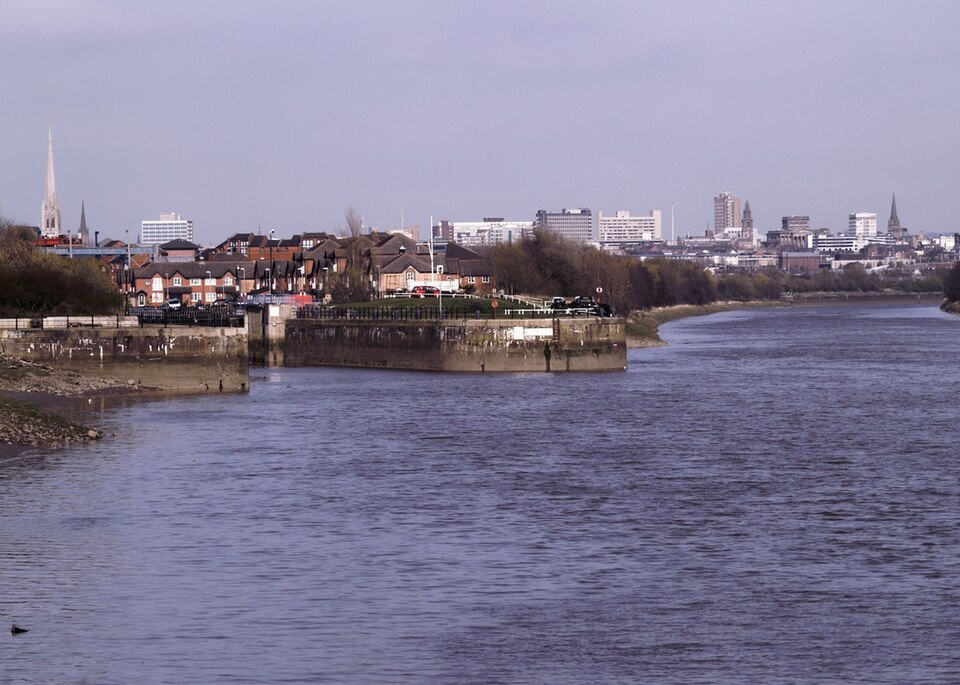
Photo: Karl1587 / Wikimedia Commons / Public domain Preston
The cross is the surviving marker of the lost village, whose civic buildings and population are recorded in historic accounts.
Discovery & excavation
After falling and being buried between 1844 and 1850, the cross was re-erected on a granite plinth inside the circular boundary wall that surrounds it today.
What to look for
-
Circular enclosure
The circular rubble wall and granite plinth form a later setting around the plain sandstone cross.
Plan your visit
- Location
- 54.8917°N · 3.6092°W
- Nearest settlement
- Newton Stewart
- Access
- Visible from a public way
- Terrain
- Easy going
- Time needed
- About 45 minutes
- Best time
- Visit in daylight and dry conditions, when the market cross and surviving historic fabric can be viewed safely.
- What survives
- A plain sandstone cross survives on its stepped granite plinth within a circular rubble wall; the surrounding medieval village has gone.
- Facilities
- No dedicated visitor facilities are documented at the monument; plan to use facilities in nearby settlements.
Opening & admission
The cross is an outdoor monument in the former village of East Preston. View it only from lawful public access and do not enter private land or disturb the surrounding archaeological remains.
- Historic Environment Scotland’s listing records the surviving cross and enclosure but does not publish a staffed visitor opening arrangement.
Nearby places
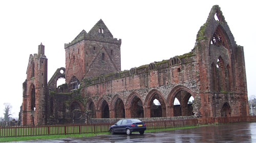
Sacred place · Medieval
Sweetheart Abbey
Dumfries and Galloway
Sweetheart Abbey preserves the personal memorial of Dervorguilla of Galloway and John de Balliol, and traces how a Cistercian house shaped the farm…
- Easy path
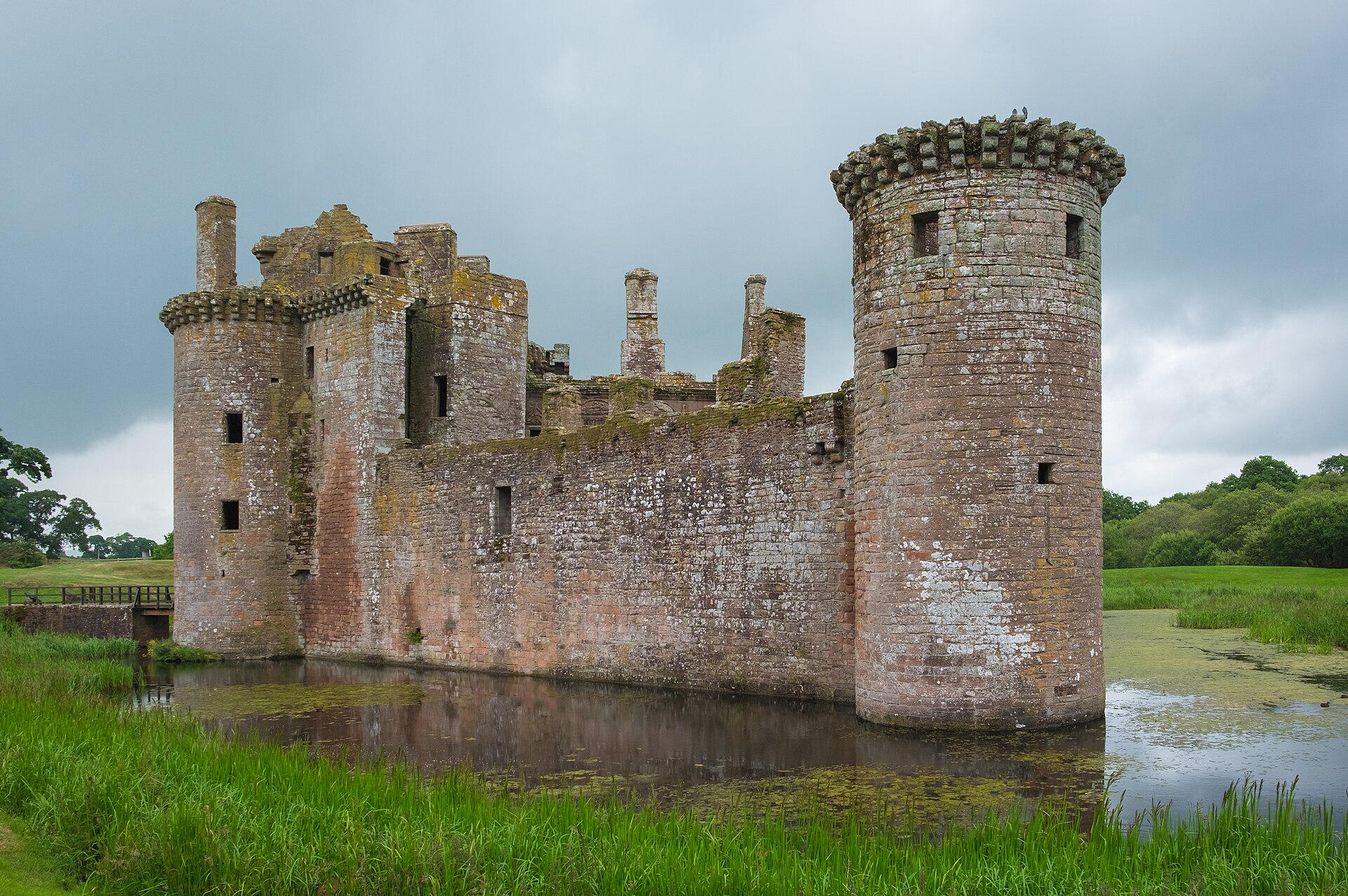
Fortified place · Medieval
Caerlaverock Castle
Dumfries and Galloway
Caerlaverock is the UK’s only triangular castle, retaining a moat, great gatehouse and Renaissance lodging amid a history of sieges, rebuilding and…
- Easy path
Fortified place · Prehistoric
Mote of Mark
Dumfries and Galloway
The Mote of Mark was a high-status sixth- and seventh-century fortified workshop in Rheged, with imported goods and evidence for skilled metalworking.

Building or ruin · Roman
Milefortlet 12
Cumbria
One link in a chain of small coastal forts that carried Hadrian's Wall's defences off the end of the Wall itself and down the Cumbrian shore.
- Near Silloth
- Rough ground
The setting
Lane from East Preston near the market cross site; retained as a contextual approach view.
Photo: Jonathan Wilkins / Wikimedia Commons / CC BY-SA 2.0
Questions people ask
- What does the cross mark?
- It is believed to be the former market cross of the lost village of Preston.
- When was it rediscovered?
- It was rediscovered shortly before 1850 after being buried for a short period.
- How old is the cross?
- Its age is unknown; it may date from the eighteenth century or earlier.
Sources
- Historic Environment Scotland — East Preston Cross, Plinth and Boundary Wall
- The Statistical Account of Scotland, volume 15
Explore more: Minor monuments · Medieval · Dumfries and Galloway
The Ancient Codex, in your pocket
Get the Pocket Codex app
Carry the directory with you — Market Cross And Medieval Village, East Preston and thousands of ancient places across Britain and Ireland, offline, wherever you roam.