
Caerlaverock is the UK’s only triangular castle, retaining a moat, great gatehouse and Renaissance lodging amid a history of sieges, rebuilding and abandonment.
A deep moat wraps around Caerlaverock’s unmistakable triangle, with twin drum towers guarding the entrance and ruined ranges gathered inside. The form is rare in Europe and unique in the United Kingdom, making the castle’s plan as memorable as its long military history.
The Maxwells held this stronghold from the thirteenth to the seventeenth century. English sieges, Scottish recovery, religious conflict and a final Covenanter attack repeatedly transformed it, leaving a layered ruin at the edge of the Nith estuary.
What follows is drawn from published sources, with each claim labelled by how firmly it is established.
The name
Caerlaverock is Brittonic: caer means an enclosed defensible site. The second element may be a personal name or a stream name, while the modern form was influenced by the Scots word laverock, meaning skylark.
History
The present triangular castle was begun in the thirteenth century after an earlier square, moated stone castle was abandoned about 200 metres to the south. Sir Aymer Maxwell began the new construction, completed in the 1270s. Quarrying for its moat probably provided building stone, while a clay platform supported much of the structure around the rock-based gatehouse.
Edward I besieged Caerlaverock in July 1300 with a major English army. Sir Eustace Maxwell’s garrison repeatedly repelled attacks before surrendering; the account says only sixty men held out for a considerable period. English heralds composed the Old French verse roll known as the Siege of Caerlaverock, recording the nobles and knights present.
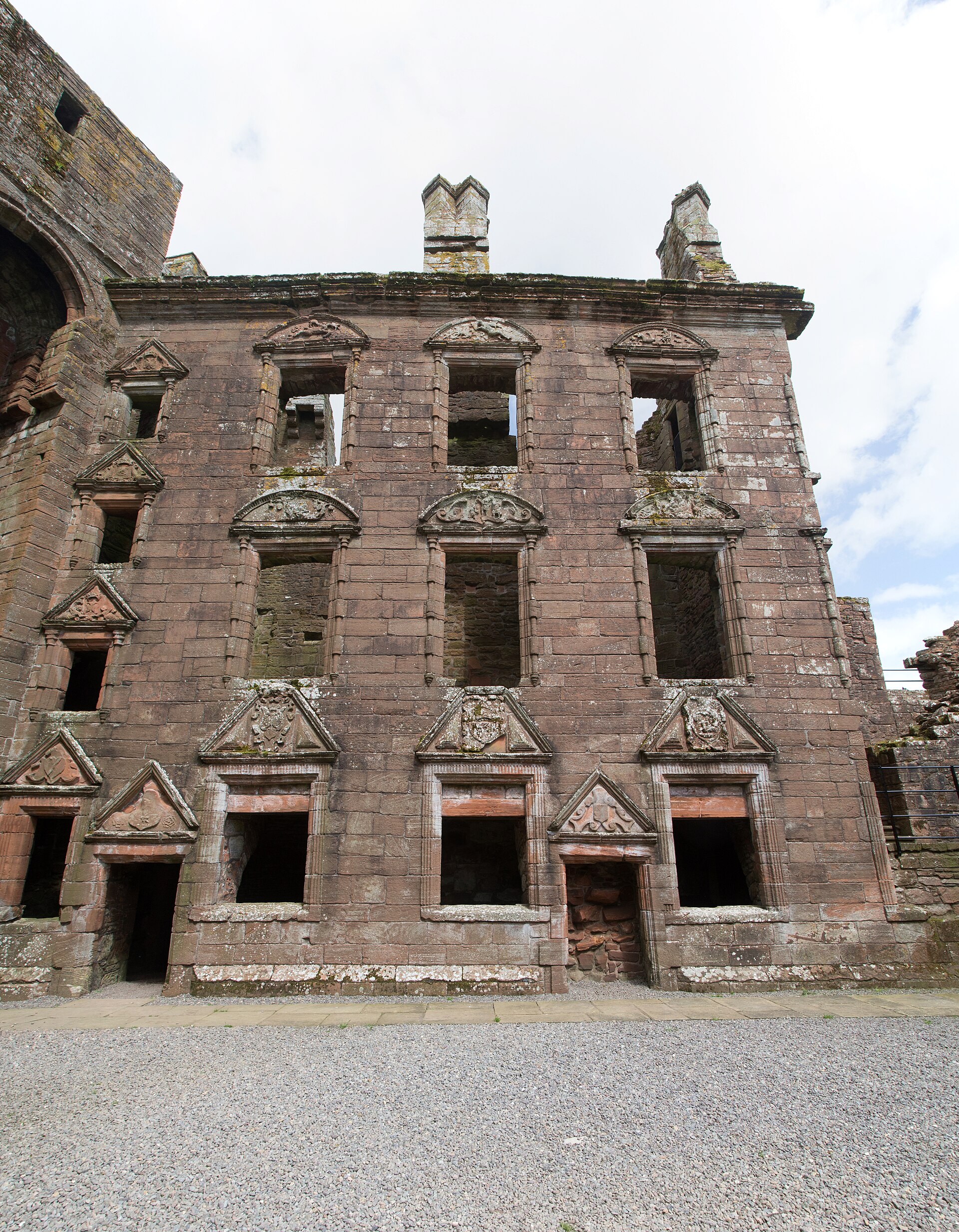
The castle was rebuilt by the Maxwells after the Wars of Independence and altered again around 1500. In the 1630s the Earls of Nithsdale added an elaborate Renaissance lodging, but Protestant Covenanters besieged the castle for 13 weeks in 1640, forced its surrender and demolished part of it. It was never repaired or reoccupied.
People
-
Sir Eustace Maxwell
Defended Caerlaverock against Edward I in 1300, later dismantling it rather than let it strengthen English control.
-
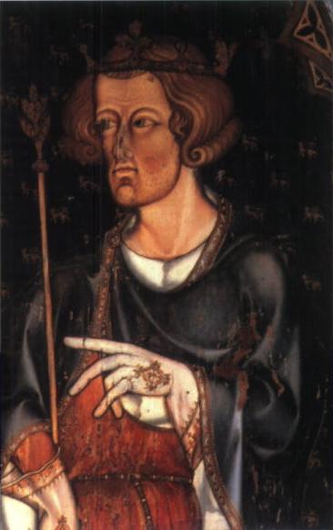
Portrait: Remiguis Goebel / Wikimedia Commons / Public domain Edward I of England
Besieged Caerlaverock in July 1300 with a major English army; the siege produced the Old French verse roll recording the nobles and knights present.
Cultural influences
-
Caerlaverock was shaped by trade and its low-lying setting on the River Nith floodplain, where a moat and earthwork ramparts reinforced the triangular castle.
Connections
-
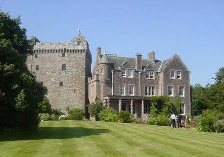
Photo: Angus Townley / Wikimedia Commons / CC BY-SA 2.0 A later fortified residence in south-west Scotland, providing a comparison with Caerlaverock’s earlier castle architecture and changing defensive needs.
-
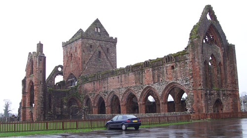
Photo: Original uploader was Otter at nl.wikipedia (Original text : Hopmans) / Wikimedia Commons / CC BY-SA 3.0 A major medieval religious foundation in the same regional landscape, contrasting ecclesiastical patronage with Caerlaverock’s role as a lordly stronghold.
-
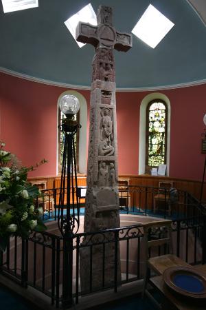
Photo: own work / Wikimedia Commons / CC BY-SA 4.0 An early medieval carved monument that extends the cultural history of the Solway region beyond the later medieval castle.
-
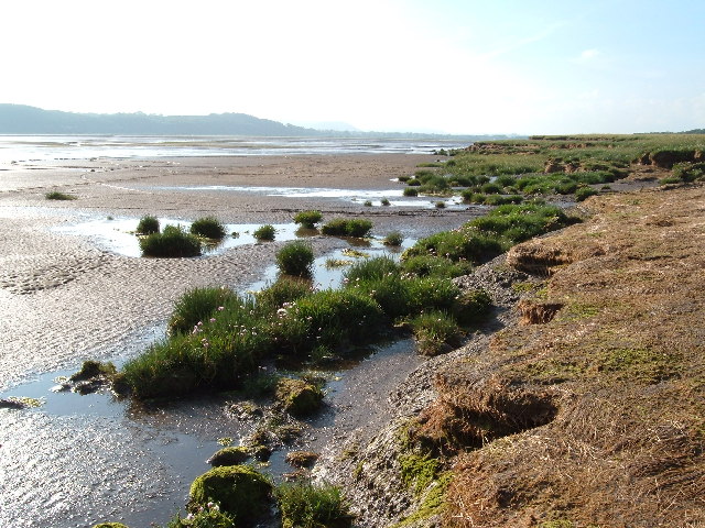
Photo: Alison Stamp / Wikimedia Commons / CC BY-SA 2.0 Caerlaverock National Nature Reserve
Caerlaverock Castle stands at the edge of the National Nature Reserve, where its moat and triangular ruins survive within the coastal landscape.
In culture
-
The Decoy Bride
Caerlaverock Castle was used as a location for the 2011 romantic comedy film The Decoy Bride.
What to look for
-
The triangular plan and moat
Walk the unique triangular enclosure and its water-filled moat, built in the thirteenth century after an earlier square castle nearby was abandoned.
-
The twin-towered gatehouse
Approach the massive twin-towered gatehouse across the drawbridge line; its rock-built core anchors the castle’s unusually strong defensive front.
-
Murdoch's Tower
At the south-west corner, Murdoch’s Tower forms one point of the triangular circuit, with the moat and curtain wall defining the castle’s geometry.
-
The Nithsdale Lodging
The carved Renaissance façade of the Nithsdale Lodging records the Earls’ 1630s remodelling, interrupted when Covenanters besieged and slighted the castle in 1640.
What is said
Folklore and tradition, recorded as what is said — not as established fact.
-
Myrddin Wyllt and Merlin
Chronicles say that after King Gwenddoleu died nearby in 573, his bard Myrddin Wyllt retreated into the woods in madness, a story that helped inspire the Merlin of Arthurian legend.
Plan your visit
- Location
- 54.9756°N · 3.5240°W
- Access
- Paid entry — managed visitor site
- Terrain
- Easy going
- Parking
- A car park, visitor centre and toilets are available on site.
- Start point
- The grounds and visitor centre are the practical accessible parts during conservation works; check current restrictions before travelling.
- Time needed
- About 120 minutes
- Best time
- Visit during published opening hours and in dry daylight, when the castle ruins, grounds and visitor centre can be explored comfortably.
- What survives
- Caerlaverock is a roofless triangular castle ruin enclosed by a wide moat, with its twin-towered gatehouse, curtain walls and parts of the Nithsdale Lodging surviving; some areas remain restricted for conservation.
- Facilities
- The site has a car park, visitor centre, exhibition and toilets; current conservation works may limit interior access.
Opening & admission
Paid entry; check current Historic Environment Scotland opening times and conservation notices before travelling.
- Conservation work may restrict access to the castle interior while grounds, visitor centre and exhibition remain available.
Nearby places
Sacred place · Medieval
Sweetheart Abbey
Dumfries and Galloway
Sweetheart Abbey preserves the personal memorial of Dervorguilla of Galloway and John de Balliol, and traces how a Cistercian house shaped the farm…
- Easy path
Fortified place · Medieval
Comlongon Castle
Dumfries and Galloway
Comlongon Castle is an exceptionally complete south-west Scottish tower house, where Murray lordship, rich internal defensive detail and a later ba…
- Near Newton Stewart
Carved stone · Pictish & early medieval
Ruthwell Cross
Dumfries and Galloway
The Ruthwell Cross is a stone Anglo-Saxon cross probably dating from the 8th century, when Ruthwell: now in Scotland: was part of the Anglo-Saxon K…
- Near Ruthwell
- Easy path
Sacred place · Medieval
St Queran's Well
Dumfries and Galloway
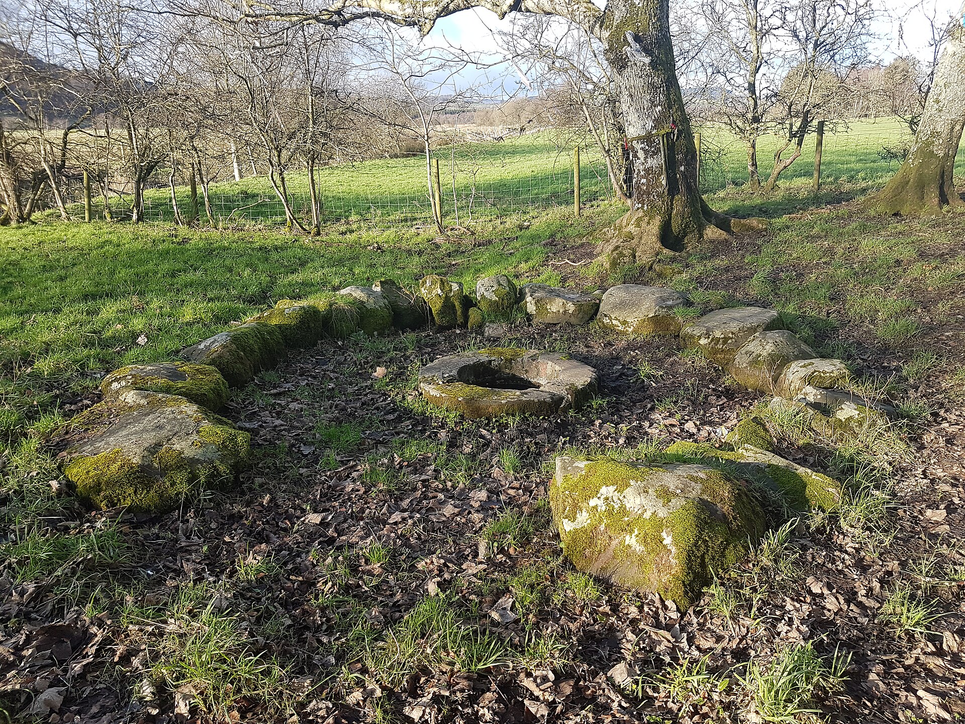
St Queran’s Well preserves a continuing Scottish holy-well tradition, where coins, pins and ribbons have been offered from at least the nineteenth…
Questions people ask
- Why is Caerlaverock Castle unusual?
- Its triangular plan is rare in Europe and it is the only triangular castle in the United Kingdom.
- When was the final siege?
- The final siege was in 1640, when a Protestant Covenanter army forced the castle’s surrender.
- Who held Caerlaverock for most of its history?
- The Maxwell family held the stronghold from the thirteenth century until its seventeenth-century abandonment.
Sources
The Ancient Codex, in your pocket
Get the Pocket Codex app
Carry the directory with you — Caerlaverock Castle and thousands of ancient places across Britain and Ireland, offline, wherever you roam.