
Twenty-six standing stones curve in a crescent above the bank of the White Esk near Eskdalemuir, in Dumfries and Galloway. The gap in the ring is not by design. The western portion of the circle has been washed away by the river over the centuries, leaving a broken arc where a complete ring of forty to forty-five stones once stood. When whole, the circle measured 39 metres across.
Twenty-six standing stones curve in a crescent above the bank of the White Esk near Eskdalemuir, in Dumfries and Galloway. The gap in the ring is not by design. The western portion of the circle has been washed away by the river over the centuries, leaving a broken arc where a complete ring of forty to forty-five stones once stood. When whole, the circle measured 39 metres across.
Unlike most of the prehistoric stone rings of Dumfriesshire, which tend towards an oval outline, the Girdle Stanes forms a true circle. Its shape, its situation and the way it was built tie it more closely to the stone circles of Cumbria to the south than to its immediate neighbours. The tallest stones stand at the north, with an apparent entrance in the south-east.
The circle is aligned to the sun. Its orientation points to the sun’s southernmost rising at the beginning of November, a moment that falls close to the festival of Samhain. A line of stones runs north from the ring towards a second circle, the Loupin Stanes, and may be the surviving trace of an avenue that once linked the two.
What follows is drawn from published sources, with each claim labelled by how firmly it is established.
History
The Girdle Stanes was raised as a true circle of forty to forty-five stones, roughly 39 metres in diameter, on the ground beside what is now the White Esk. The tallest stones were set at the north of the ring, and a gap in the south-east appears to have served as an entrance. The circle was aligned to the sun's southernmost rising at the start of November, a point in the year that corresponds to the festival of Samhain. This solar alignment, together with the circle's shape and construction, connects it to the stone circles of the Lake District rather than to the oval rings more typical of Dumfriesshire.
At some point a line of stones was set running north from the circle towards the nearby Loupin Stanes. It is possible that this represents the remains of an avenue that once joined the two monuments. Over the following centuries the White Esk cut into the site and washed away the western portion of the ring. Twenty-six of the original stones survive, standing in a crescent where a complete circle once stood.
Cultural influences
-
The Girdle Stanes’ southern solar alignment and monument design link it more closely to Lake District stone circles such as Swinside than to the oval rings typical of Dumfriesshire.
Connections
-
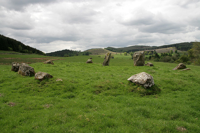
Photo: Walter Baxter / Wikimedia Commons / CC BY-SA 2.0 A second stone circle a short distance to the north, towards which a line of stones leads from the Girdle Stanes; the two may once have been joined by an avenue.
-
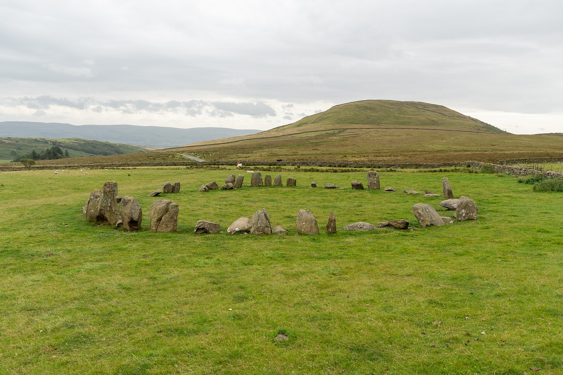
Photo: Michal Gregor / Wikimedia Commons / CC BY-SA 4.0 A stone circle in the south-west of the Lake District with which the Girdle Stanes shares a number of features, including its tallest stones set at the north, an entrance in the south-east and a solar alignment.
What to look for
-
The crescent of stones
Twenty-six stones survive in a curving arc, the broken remains of a ring that once held forty to forty-five stones and measured 39 metres across.
-
The tallest stones at the north
The largest stones of the circle stand at its northern side, a feature it shares with the Swinside circle in Cumbria.
-
The south-east entrance
A gap in the south-east of the ring appears to mark an original entrance to the circle.
-
The line of stones towards the Loupin Stanes
A line of stones runs north from the circle towards the Loupin Stanes, possibly the surviving trace of an avenue between the two.
-
The river's edge
The White Esk runs against the western side of the site, where it has carried away the missing portion of the ring.
Plan your visit
- Location
- 55.2539°N · 3.1759°W
- Access
- Open access
- Terrain
- Easy going
- Time needed
- About 45 minutes
Nearby places
Sacred place · Prehistoric
Loupin Stanes
Dumfries and Galloway
A low platform was built up out of the ground beside Eskdalemuir before the twelve stones of the Loupin Stanes were set in an oval on top of it, at…
- Near Newton Stewart
- Easy path
Sacred place · Prehistoric
Whitcastles stone circle
Dumfries and Galloway
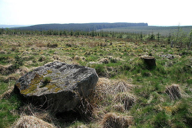
Nine stones lie fallen in an oval on high ground north-east of Lockerbie, none of them still standing. The setting, known as Whitcastles or Little…
- Near Newton Stewart
- Easy path
Fortified place · Roman
Burnswark Hill
Dumfries and Galloway
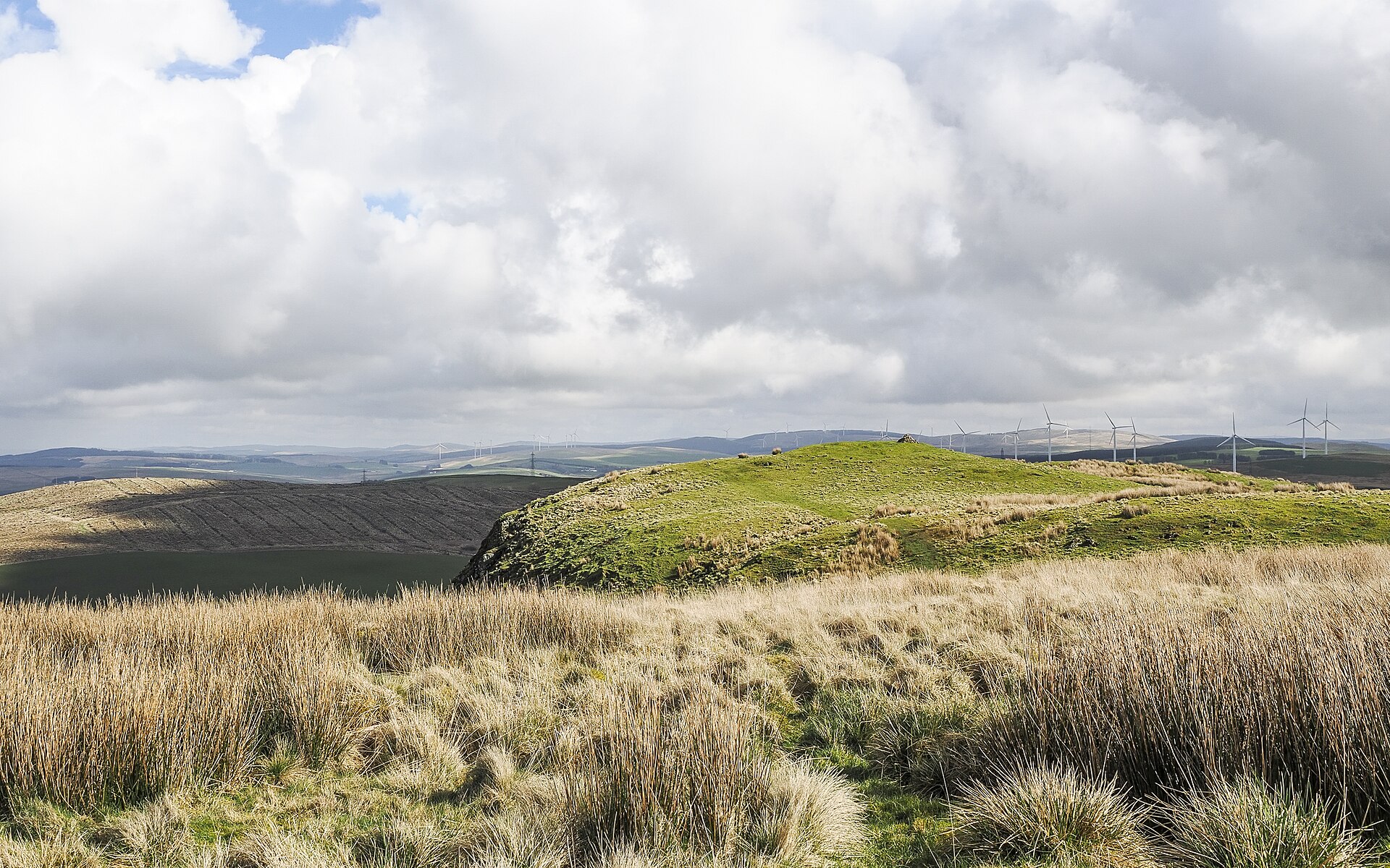
A swathe of hundreds of lead sling bullets lies scattered along the south-eastern flank of Burnswark Hill, marking the line where Roman slingers on…
- Some walking
Fortified place · Roman
Birrens Roman Fort (Blatobulgium)
Dumfries and Galloway
More inscribed and sculptured Roman stones have been recovered from Birrens than from any other site in Scotland, and it is this dense scatter of a…
- Some walking
Questions people ask
- Why is the Girdle Stanes a crescent rather than a full circle?
- The western portion of the ring has been washed away by the White Esk. Twenty-six of the original forty to forty-five stones survive, leaving a crescent where a complete circle once stood.
- How large was the circle originally?
- When complete, the Girdle Stanes would have measured 39 metres in diameter and held between forty and forty-five stones.
- What makes the Girdle Stanes unusual among Dumfriesshire stone circles?
- Unlike the majority of such sites in Dumfriesshire, which are oval, the Girdle Stanes forms a true circle. Its shape, situation and construction link it to the Cumbrian circles to the south, particularly Swinside in the Lake District.
- Is the circle aligned to the sun?
- Yes. The Girdle Stanes is aligned to the sun's southernmost rising at the beginning of November, which correlates with the festival of Samhain. This differs from Swinside, which is aligned to the midwinter sunrise.
- What is the connection to the Loupin Stanes?
- A line of stones leads north from the Girdle Stanes to the Loupin Stanes, a second stone circle nearby. It is possible that this is the remains of an avenue that once linked the two circles.
Sources
The Ancient Codex, in your pocket
Get the Pocket Codex app
Carry the directory with you — Girdle Stanes and thousands of ancient places across Britain and Ireland, offline, wherever you roam.