
The site carries two widely separated chapters of the human past. Aspects of Barsalloch Fort are thought to date to the Mesolithic period, placing its earliest use among the oldest known in Galloway; by the Iron Age it was held by the Novantae, the people whom the geographer Ptolemy would later record across the west of the region.
The site carries two widely separated chapters of the human past. Aspects of Barsalloch Fort are thought to date to the Mesolithic period, placing its earliest use among the oldest known in Galloway; by the Iron Age it was held by the Novantae, the people whom the geographer Ptolemy would later record across the west of the region.
Barsalloch lies in Galloway, the region of southwestern Scotland made up of the historic counties of Wigtownshire and Kirkcudbrightshire and now administered as part of Dumfries and Galloway. The region’s Iron Age is described as the point where prehistoric archaeological remains and recorded history begin to overlap, and its distinctive type sites are crannogs, promontory forts and duns — the promontory forts generally occupying coastal headlands overlooking the Solway Firth.
What is recorded of the fort’s earliest occupants comes largely through the lens of Roman-era geography rather than the ground itself. The Iron Age inhabitants are thought to have belonged to the Novantae, one of the two peoples Ptolemy placed in and around Galloway, and the same group associated with the nearby settlement at Rispain Camp.
What follows is drawn from published sources, with each claim labelled by how firmly it is established.
History
Aspects of the Barsalloch Fort site are thought to date to the Mesolithic period, the era of Galloway's earliest inhabitants. In the wider region, later prehistoric activity is marked by Neolithic monuments such as the Drumtroddan standing stones, the Torhousekie stone circle and the Cairnholy chambered cairn, together with one of the earliest pit-fall traps known in Europe, discovered near Glenluce in Wigtownshire.
By the Iron Age the site was occupied by the Novantae. In Galloway this is the period where prehistoric archaeological remains and recorded history first overlap, and the region's characteristic monuments of the age were crannogs, promontory forts and duns. Galloway held a notable concentration of crannog-type sites, a pattern owed partly to a landscape that favoured lochs and partly to those lochs being drained comparatively late, which left more undisturbed sites for later investigation.
The Novantae are known chiefly through Roman geography. After the general Gnaeus Julius Agricola campaigned northward and reached Scotland around AD 79, the Alexandrian geographer Ptolemy produced his Geographia around AD 150, drawing in part on a now-lost atlas by Marinus of Tyre. Ptolemy listed two peoples in the area around Galloway: the Novantae in the west, associated with Wigtownshire, Kirkcudbrightshire and southern Ayrshire, and the Selgovae in the east. The Iron Age inhabitants of Barsalloch are thought to have been Novantae, as were those of the Rispain Camp site.
The Novantae territory around Whithorn appears to have grown into a local power centre later in the Iron Age. Rispain Camp, a multiple-household settlement near Whithorn, contained a form of bread wheat unique among Iron Age sites in Galloway, while the coastal site at Carghidown yielded lead beads whose isotopes pointed to the Scottish Southern Uplands as a likely ore source. Together these sites suggest a settled and, in places, prominent community across the peninsula in the centuries around the Roman conquest.
Cultural influences
-
Barsalloch belongs to Galloway’s coastal promontory-fort tradition, a landscape of naturally bounded headlands overlooking the Solway Firth and associated with Iron Age communities including the Novantae.
Connections
-
Novantae
The Iron Age people thought to have inhabited the Barsalloch Fort site; Ptolemy placed them in the west of the Galloway region.
-

Photo: Otter / Wikimedia Commons / CC BY-SA 3.0 A multiple-household Iron Age settlement near Whithorn also associated with the Novantae; it contained a form of bread wheat unique among Galloway's Iron Age sites.
What to look for
-
The coastal promontory setting
The fort is understood within Galloway’s promontory-fort landscape, whose coastal headlands use natural slopes and views over the Solway Firth as defining features.
Plan your visit
- Location
- 54.7390°N · 4.5684°W
- Time needed
- About 60 minutes
- Best time
- Visit in daylight and dry conditions, when the fort earthworks and surrounding landscape can be viewed safely.
- What survives
- The cliff-edge promontory fort retains a D-shaped enclosure, a defensive ditch about 10 metres wide and 3.5 metres deep, and earthen ramparts about one metre high.
- Facilities
- No dedicated visitor facilities are documented at the fort; plan to use facilities in nearby settlements.
Opening & admission
Free to visit and open year-round.
- Stay strictly on the access path. The marked route can be very wet; strong footwear is recommended.
Nearby places
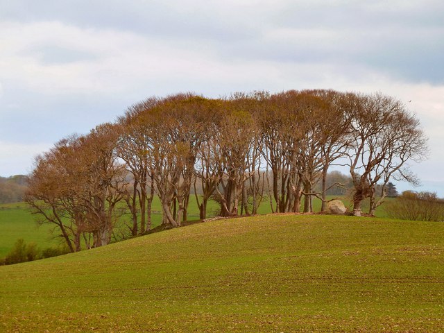
Sacred place · Prehistoric
Wren's Egg
Dumfries and Galloway
A large glacial erratic sits in a field in the parish of Glasserton, in what was historically Wigtownshire, and gives its name to the whole monumen…
- Easy path
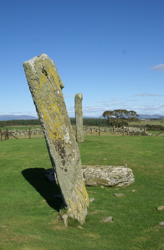
Sacred place · Prehistoric
Drumtroddan standing stones
Dumfries and Galloway
Of the three stones that once formed the alignment at Drumtroddan, only one still stands. The others lie fallen on the ground, set in a line runnin…
- Easy path
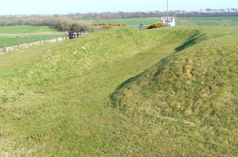
Settlement · Medieval
Rispain Camp
Dumfries and Galloway
Rispain Camp is one of Scotland’s major Iron Age (from about 800 BC until the Romans came) sites, where unusually well-preserved ramparts and excav…

Sacred place · Pictish & early medieval
St Ninian's Cave
Dumfries and Galloway
St Ninian’s Cave is a Catholic pilgrimage site in Physgill Glen where early-medieval carved stones, rockfall-altered geology and modern film histor…
- Near Whithorn
- 25 min walk from car park
Questions people ask
- How old is the site at Barsalloch Fort?
- Aspects of the site are thought to date to the Mesolithic period, which would make its earliest use among the oldest known in Galloway. The site was later occupied during the Iron Age.
- Who lived at Barsalloch Fort in the Iron Age?
- The Iron Age inhabitants are thought to have been the Novantae, one of the two peoples Ptolemy recorded around Galloway. The Novantae were associated with the western part of the region, covering Wigtownshire, Kirkcudbrightshire and southern Ayrshire.
- Where is Barsalloch Fort?
- It lies in Galloway, the region of southwestern Scotland comprising the historic counties of Wigtownshire and Kirkcudbrightshire, now administered as part of the council area of Dumfries and Galloway.
- What kind of Iron Age sites are found in Galloway?
- Galloway's distinctive Iron Age type sites are crannogs, promontory forts and duns. The region has a particular concentration of crannog-type sites, and its promontory forts generally occupy coastal headlands overlooking the Solway Firth.
- How do we know who the Novantae were?
- They are known chiefly from Roman-era geography rather than their own records. The geographer Ptolemy listed them in his Geographia, written around AD 150, following Agricola's campaign into Scotland around AD 79.
Sources
- Galloway — Wikipedia
- Ptolemy, Geographia (c. AD 150)
Explore more: Fortified places · Prehistoric · Dumfries and Galloway
The Ancient Codex, in your pocket
Get the Pocket Codex app
Carry the directory with you — Barsalloch Fort and thousands of ancient places across Britain and Ireland, offline, wherever you roam.