
Rispain Camp is one of Scotland’s major Iron Age (from about 800 BC until the Romans came) sites, where unusually well-preserved ramparts and excavated roundhouses reveal a prosperous Celtic farmstead near Whithorn.
Two broad earth banks and a deep ditch enclose a field west of Whithorn at Rispain Camp. The defensive circuit once led archaeologists to mistake the site for a Roman fort or medieval farmstead.
Excavation in the early 1980s established an Iron Age settlement occupied by local Celtic farmers between about 100 BC and AD 200. Radiocarbon evidence confirms occupation around 60 BC.
Within its near-half-hectare enclosure stood timber roundhouses, gateway defences and a possible cistern. Animal bones and crop evidence offer a rare view of the farming economy behind the earthworks.
What follows is drawn from published sources, with each claim labelled by how firmly it is established.
The name
Rispain may derive from a local form of the Old Welsh rhwospen, meaning the chief of the cultivated country.
History
Rispain Camp is a fortified farmstead about one mile west of Whithorn in Dumfries and Galloway. It is one of Scotland’s major Iron Age archaeological sites and is cared for by Historic Environment Scotland. The name may derive from a local equivalent of the Old Welsh rhwospen, meaning ‘the chief of the cultivated country’, an interpretation fitting the site’s status as a prestigious farm.
The site consists of two broad earth banks divided by a ditch that was originally almost six metres deep, surrounding an enclosure of nearly half a hectare. Its defences were so well preserved that archaeologists until the mid-1970s believed it could be a Roman fort or medieval farmstead. Early-1980s excavation changed that interpretation by showing occupation by local Celtic farmers between 100 BC and AD 200. Radiocarbon dating provides firm evidence for occupation around 60 BC.
Excavation revealed a timber gateway on the north-east side, probably linked to a timber stockade along the inner rampart. Large timber roundhouses stood inside the enclosure, including one measuring thirteen and a half metres in diameter. A square pit found in the south-east corner of the ditch may have been a cistern. These discoveries identify a defended domestic settlement.
Cattle, sheep and pigs were kept at Rispain, while hunting in the surrounding countryside supplied venison. Barley and wheat may have been used not only as food but, in barley’s case, for brewing alcohol. The combined animal and plant evidence indicates a mixed Iron Age farming economy, while the preserved defensive circuit and internal settlement traces illuminate the practical routines of a prestigious farmstead.
Cultural influences
-
Rispain was shaped by mixed farming and its surrounding countryside, where inhabitants kept livestock, cultivated barley and wheat, and hunted deer.
Connections
-

Photo: James Allan / Wikimedia Commons / CC BY-SA 2.0 Whithorn
Rispain Camp lies about one mile west of this Dumfries and Galloway settlement.
-
Iron Age Scotland
Excavation dates the settlement between about 100 BC and AD 200.
Discovery & excavation
Excavations in the early 1980s established occupation between about 100 BC and AD 200, with radiocarbon evidence for activity around 60 BC.
Finds now held at: Rispain Camp enclosure.
What to look for
-
Double-bank defences
Two broad banks and a ditch once almost six metres deep enclosed a prestigious Iron Age farmstead of nearly half a hectare.
-
North-east gateway
Early-1980s excavation identified a timber gateway on the north-east side, probably linked to a stockade along the inner rampart.
-
Roundhouse traces
The largest excavated timber roundhouse measured thirteen and a half metres across, revealing the scale of domestic life inside the enclosure.
Plan your visit
- Location
- 54.7298°N · 4.4408°W
- Access
- Open access
- Time needed
- About 60 minutes
- Best time
- Visit in daylight and dry conditions, when the earthworks and surrounding landscape can be viewed safely.
- What survives
- Rispain Camp’s grass-covered earthworks survive exceptionally well, retaining a double rampart, a ditch originally about six metres deep, and the north-east entrance causeway.
- Facilities
- No dedicated visitor facilities are documented at the site; plan to use facilities in nearby settlements.
Opening & admission
Open to visitors under Historic Environment Scotland; check the official site for current access arrangements and take care on uneven earthworks.
Nearby places
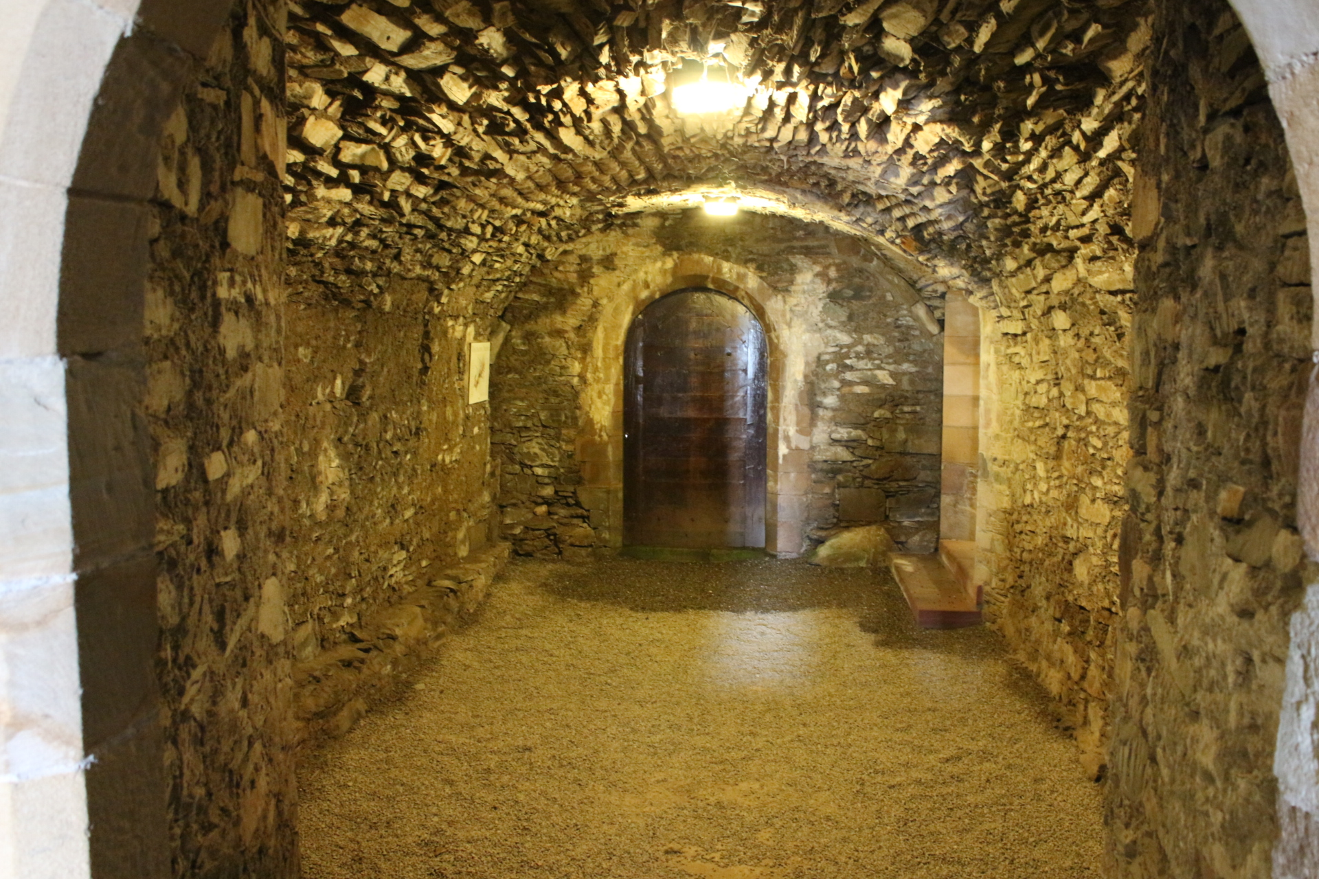
Sacred place · Pictish & early medieval
Whithorn Priory and Museum
Dumfries and Galloway
Whithorn was the location of the first recorded Christian church in Scotland: Candida Casa, the 'White/Shining House': built by Saint Ninian around…
- Near Newton Stewart

Sacred place · Pictish & early medieval
St Ninian's Cave
Dumfries and Galloway
St Ninian’s Cave is a Catholic pilgrimage site in Physgill Glen where early-medieval carved stones, rockfall-altered geology and modern film histor…
- Near Whithorn
- 25 min walk from car park
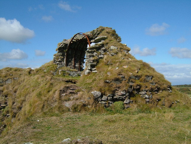
Fortified place · Medieval
Cruggleton Castle
Dumfries and Galloway
Cruggleton Castle is a rare multi-period coastal stronghold where excavations revealed occupation from the Iron Age (roughly 800 BC until the Roman…
- Near Newton Stewart
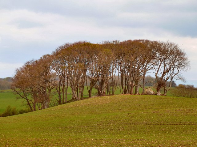
Sacred place · Prehistoric
Wren's Egg
Dumfries and Galloway
A large glacial erratic sits in a field in the parish of Glasserton, in what was historically Wigtownshire, and gives its name to the whole monumen…
- Easy path
Questions people ask
- What is Rispain Camp?
- It is an Iron Age fortified farmstead west of Whithorn in Dumfries and Galloway.
- When was Rispain Camp occupied?
- Excavation indicates occupation between about 100 BC and AD 200, with radiocarbon evidence around 60 BC.
- What did people at Rispain Camp farm?
- They kept cattle, sheep and pigs, and used barley and wheat; hunting also provided venison.
Sources
The Ancient Codex, in your pocket
Get the Pocket Codex app
Carry the directory with you — Rispain Camp and thousands of ancient places across Britain and Ireland, offline, wherever you roam.