
Cruggleton Castle is a rare multi-period coastal stronghold where excavations revealed occupation from the Iron Age (roughly 800 BC until the Roman conquest) to the seventeenth century, beneath the surviving arch of a medieval castle on the Machars coast.
A narrow stone arch stands on the shale promontory of Cruggleton Point, high above the Machars coast. Known locally as the Arch, it is the most visible remnant of a castle with a far deeper archaeological history.
Excavation revealed a late Iron Age hut circle, an early medieval timber hall, a motte and timber tower, then a stone castle. The site was used from the first century AD to the seventeenth century.
The coastal path from Galloway House leads to a scheduled monument where the motte, ditch and building foundations remain readable against the cliff edge.
What follows is drawn from published sources, with each claim labelled by how firmly it is established.
The name
Cruggleton is taken to derive from the rocky character of its coastal site.
History
Excavations during the 1970s and 1980s showed that Cruggleton was occupied from the first century AD into the seventeenth century. The earliest discovered evidence includes a late Iron Age hut circle, followed by an early medieval timber hall. These findings establish that the promontory was important long before the stone castle visible today, making Cruggleton a multi-period archaeological site rather than simply a medieval ruin.
In the twelfth or thirteenth century, the rock outcrop was raised to form a motte and a timber tower was built. Cruggleton may have been held by the Lords of Galloway, and later by the Earls of Buchan, though this ownership interpretation is presented as possible rather than conclusive. The earliest stone tower and curtain wall were built between the late thirteenth and early fifteenth centuries. The castle’s outcrop, about forty metres above sea level, formed a naturally defensible promontory on the east-facing cliffs.
Cruggleton became entangled in the wars of the late thirteenth and early fourteenth centuries. John Comyn, Earl of Buchan, had a licence from Edward I in the 1290s to obtain lead intended to cover eight castle towers. The castle, also called the Black Rock of Cree, is associated with a stronghold captured by William Wallace in Blind Harry’s account, but that association is literary and uncertain. Scottish forces took it again in 1307 and it was subsequently demolished, before David II later granted it to Gilbert Kennedy.
David II granted Cruggleton to Gilbert Kennedy in the later fourteenth century, and in 1424 it went to the Prior and Canons of Whithorn. Sixteenth-century English spies drew its high tower, wall, drawbridge and portcullis; the drawing survives at the British Museum. After Reformation disputes and a 1569 siege, the castle passed through several owners and was described as wholly demolished and ruinous by 1684. Today the Arch, motte, ditch and foundations are a scheduled monument accessible by a coastal path from Galloway House.
People
-
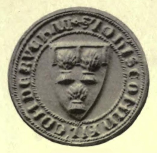
Portrait: Walter de Gray Birch / Wikimedia Commons / Public domain John Comyn, Earl of Buchan
Held a licence in the 1290s associated with lead for eight castle towers.
-
Gilbert Kennedy
Received Cruggleton from David II in the later fourteenth century.
-
Lord Robert Stewart
A Whithorn commendator involved in a later ownership dispute and 1569 siege.
-
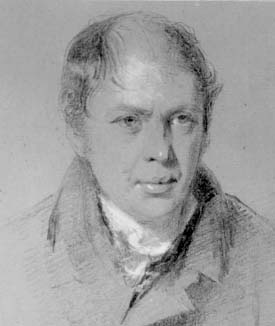
Portrait: Unknown author / Wikimedia Commons / Public domain William Wallace
Blind Harry associates him with the Black Rock of Cree, an uncertain identification with Cruggleton.
Cultural influences
-
Cruggleton was shaped by its shale promontory forty metres above the coast, where a motte, ditch and later stone defences controlled the approach.
Connections
-
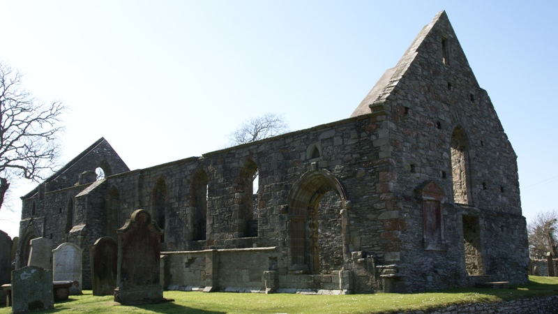
Photo: Otter / Wikimedia Commons / CC BY-SA 3.0 Whithorn Priory
The Prior and Canons received Cruggleton in 1424.
-
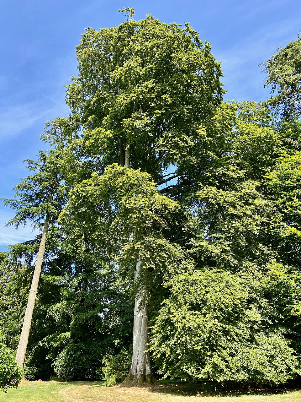
Photo: LornaMCampbell / Wikimedia Commons / CC BY-SA 4.0 Galloway House
A coastal path from its grounds provides access to the site.
-
.jpg?width=320)
Photo: AlisaFreemanAlvarez / Wikimedia Commons / CC BY-SA 4.0 Cruggleton Church
This Romanesque church lies about 750 metres west and may mark the old village site.
Discovery & excavation
Excavations in the 1970s and 1980s revealed a late Iron Age hut circle, an early medieval timber hall and later castle phases from the thirteenth century onwards.
Finds now held at: Cruggleton Point.
In culture
-
Elizabethan survey drawing
English spies made a coloured drawing of Cruggleton in 1563; it is now held by the British Museum.
What to look for
-
The Arch
A narrow piece of barrel vaulting, known as the Arch, is the clearest surviving remnant of the castle tower above the coast.
-
Motte and ditch
The roughly 31-by-29-metre motte and its broad cross-promontory ditch controlled the only practical approach to the cliff-top stronghold.
-
Cliff-top setting
The shale outcrop rises about forty metres above sea level, giving the castle natural protection above the east-facing coastal cliffs.
What is said
Folklore and tradition, recorded as what is said — not as established fact.
-
The Black Rock of Cree
According to Blind Harry, Cruggleton, called the Black Rock of Cree, was a stronghold captured by William Wallace and his companions.
Plan your visit
- Location
- 54.7572°N · 4.3573°W
- Nearest settlement
- Newton Stewart
- Time needed
- About 45 minutes
Opening & admission
Accessible by a coastal path from Galloway House, but current route and land-access arrangements are not confirmed; check locally and do not enter private land without permission.
Nearby places
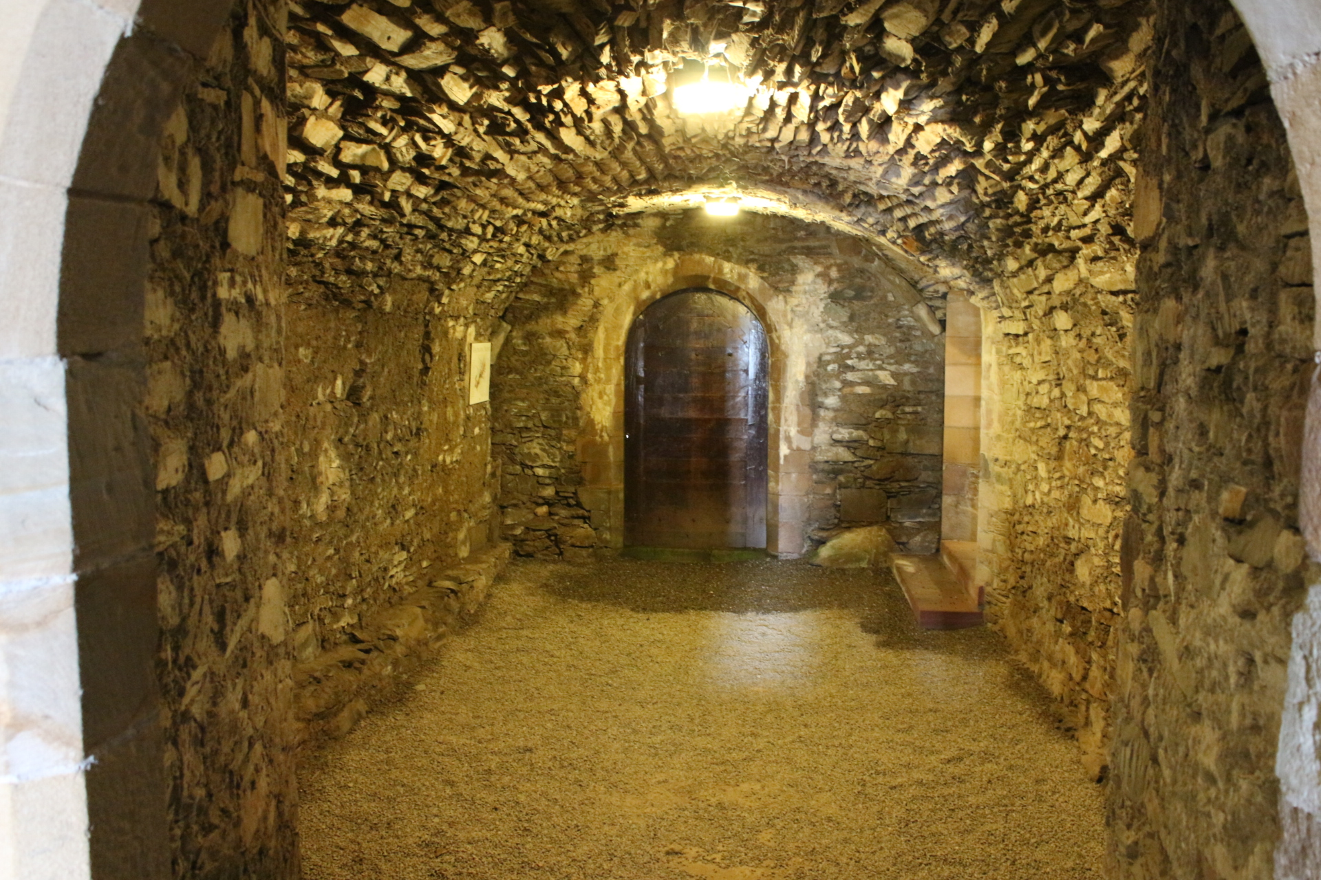
Sacred place · Pictish & early medieval
Whithorn Priory and Museum
Dumfries and Galloway
Whithorn was the location of the first recorded Christian church in Scotland: Candida Casa, the 'White/Shining House': built by Saint Ninian around…
- Near Newton Stewart
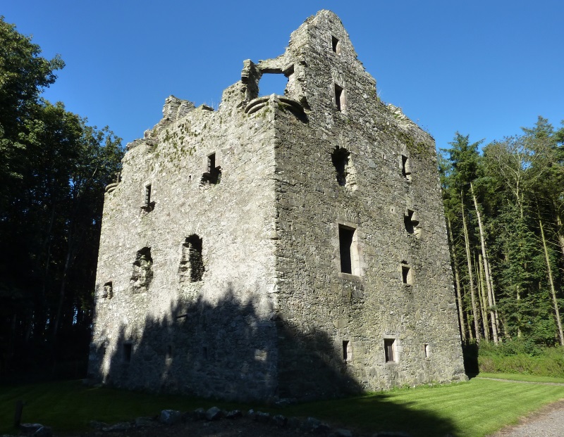
Fortified place · Medieval
Sorbie Tower
Dumfries and Galloway
Sorbie Tower is the ancestral stronghold of Clan Hannay, a late-sixteenth-century fortified house whose surviving lower levels preserve a rare Gall…
- Near Sorbie
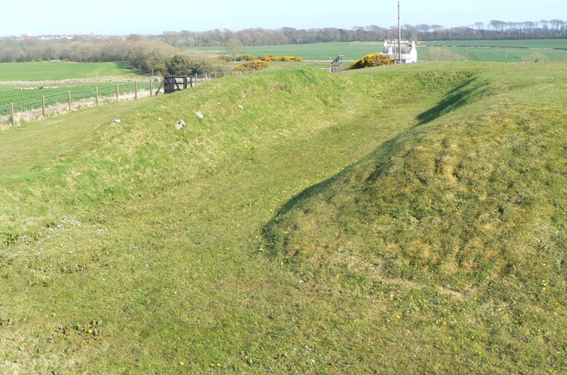
Settlement · Medieval
Rispain Camp
Dumfries and Galloway
Rispain Camp is one of Scotland’s major Iron Age (from about 800 BC until the Romans came) sites, where unusually well-preserved ramparts and excav…

Sacred place · Pictish & early medieval
St Ninian's Cave
Dumfries and Galloway
St Ninian’s Cave is a Catholic pilgrimage site in Physgill Glen where early-medieval carved stones, rockfall-altered geology and modern film histor…
- Near Whithorn
- 25 min walk from car park
Questions people ask
- How old is Cruggleton Castle?
- Excavations show use from the first century AD to the seventeenth century; its first stone tower was medieval.
- What remains at Cruggleton?
- The Arch, motte, ditch and foundations of further buildings survive as a scheduled monument.
- Was Cruggleton associated with Whithorn?
- Yes. The Prior and Canons of Whithorn received the castle in 1424.
Sources
The Ancient Codex, in your pocket
Get the Pocket Codex app
Carry the directory with you — Cruggleton Castle and thousands of ancient places across Britain and Ireland, offline, wherever you roam.