
A causeway now vanished beneath the water once linked this island stronghold to the shore, leaving a ruin that in the seventeenth century belonged to the MacEachan family and today is reachable only by boat.
On a small islet near the northern end of Tangy Loch, a few miles north of Campbeltown in Kintyre, the broken walls of a fortified dwelling rise from the water. The site was chosen for the protection the loch itself provided: an island home, ringed by water on every side, needed no ditch or rampart (the raised bank thrown up around a fortified enclosure) to keep out unwelcome visitors, only a single controlled crossing to the mainland.
That crossing was a causeway, a raised path built out across the loch bed, running roughly 150 metres from the shore to the islet. It has since sunk beneath the surface, so that the ruin, once approached dry-shod, can now only be reached by water. The change says as much about the passage of time at Tangy Loch as any written record could: a route people once walked has quietly disappeared under the loch, leaving the castle stranded on its own small island.
Of the people who lived there, only one family is remembered by name. The MacEachans held Tangy Loch Castle in the seventeenth century, making them the last documented occupants of a stronghold whose earlier history, and whose eventual abandonment, have left no surviving account.
What follows is drawn from published sources, with each claim labelled by how firmly it is established.
History
Tangy Loch Castle stands on a small islet near the northern end of Tangy Loch, roughly eight kilometres north of Campbeltown in Kintyre. No record fixes the date of its construction, but the choice of an island site places it in a long-standing local tradition of building fortified dwellings on lochs, where the surrounding water served as the main line of defence and access depended entirely on a single crossing to the shore.
That crossing was a causeway running about 150 metres from the mainland to the islet, allowing people and goods to reach the castle without a boat. The causeway has since become submerged beneath the loch, and the route it once carried can no longer be walked, leaving the ruin accessible only by water and marking one of the clearest physical changes to have overtaken the site.
By the seventeenth century, Tangy Loch Castle was held by the MacEachan family. Beyond their name and the century of their tenure, no further detail about their time at the castle has survived, and neither the reason for its later abandonment nor the fate of its subsequent owners, if any, has been recorded.
People
-
The MacEachan family
Held Tangy Loch Castle during the seventeenth century, the only occupancy recorded for the site.
Connections
-
Campbeltown
Tangy Loch Castle lies about eight kilometres north of Campbeltown. The town is the nearest named settlement and practical mainland reference for a ruin whose historic causeway is now submerged, so the relationship explains both the site’s location and why a visitor cannot follow the former approach on foot. It also anchors the isolated islet within the modern geography of Kintyre rather than leaving it as an abstract map point. This makes Campbeltown useful context for understanding the castle’s remoteness and present-day approach.
-
MacEachan family
The MacEachans held Tangy Loch Castle in the seventeenth century, linking the isolated islet to a named local family and confirming that the ruin was once a lived-in fortified dwelling rather than only a defensive landmark.
What to look for
-
The islet setting
The ruin occupies a small island near the northern end of Tangy Loch, its walls rising directly from the water with no built defences beyond the loch itself.
-
The submerged causeway
A causeway once ran about 150 metres from the shore to the islet; it now lies beneath the surface of the loch, and the crossing can no longer be made on foot.
Plan your visit
- Location
- 55.4911°N · 5.6494°W
- Nearest settlement
- Campbeltown
- Terrain
- Rough ground — reasonable boots advised
- Time needed
- About 45 minutes
- What survives
- Ruined castle walls survive on a small islet in Tangy Loch.
Opening & admission
No current admission or access details are recorded — check for local access information before travelling.
- The castle sits on an islet in Tangy Loch; the causeway that once linked it to shore is now submerged, so it is not reachable on foot
Nearby places
Sacred place · Medieval
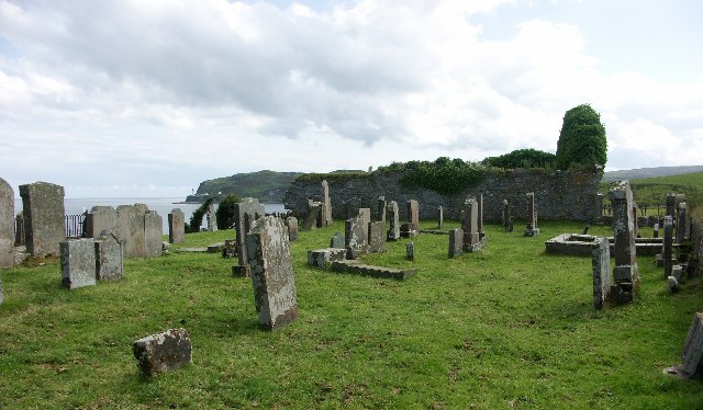
Kilchousland Chapel
Argyll and Bute
One of only a handful of Scottish chapels dedicated to St Constantine, a shadowy royal-saint whose cult is otherwise scarce in the historical record.
- Near Campbeltown
- Some walking
Fortified place · Medieval
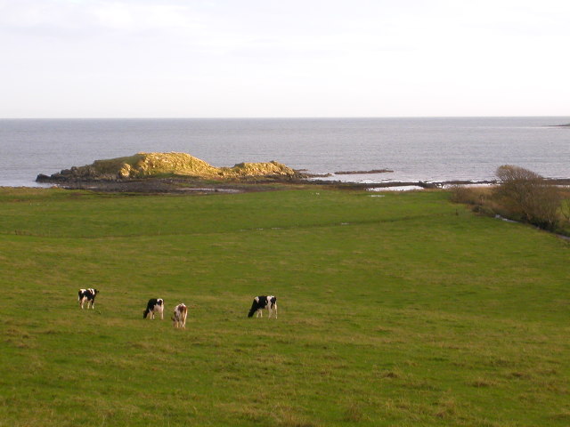
Smerby Castle
Argyll and Bute
Two separate bonds, in 1594 and 1597, show the family here signing not as MacDonald but as M'Connall: a rare direct trace of how Gaelic Kintyre act…
- Near Campbeltown
- Rough ground
Fortified place · Medieval
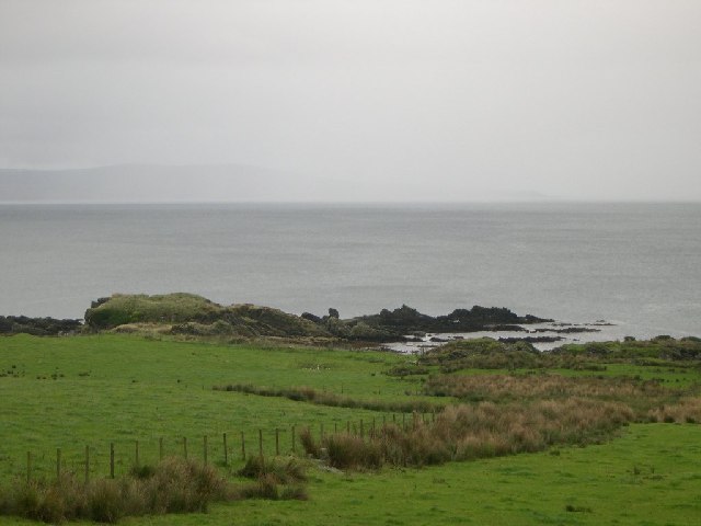
Dun Ugadale
Argyll and Bute
Its Gaelic name preserves a memory of owls in the glen below, while a brooch once kept by its owners carries a tradition linking the fort to Robert…
- Near Ugadale
- Rough ground
Fortified place · Medieval
Kildonan Dun
argyll-and-bute
Most duns are round. This one is D-shaped, and its double stair up the rampart and a round wall niche both survive intact.
Questions people ask
- What is Tangy Loch Castle?
- A ruined fortified dwelling on a small islet in Tangy Loch, Kintyre, Scotland, about five miles (eight kilometres) north of Campbeltown.
- How was the castle reached?
- By a causeway running about 150 metres from the shore to the islet. The causeway is now submerged, so the ruin can only be reached by water.
- Who owned Tangy Loch Castle?
- The MacEachan family held the castle in the seventeenth century, the only occupancy of the site that has been recorded.
- Where is Tangy Loch Castle located?
- In Kintyre, Argyll and Bute, on an islet in Tangy Loch, roughly five miles (eight kilometres) north of Campbeltown.
- Can visitors still reach the castle ruin?
- Only by water, since the causeway that once linked the islet to the shore has become submerged beneath the loch.
Sources
The Ancient Codex, in your pocket
Get the Pocket Codex app
Carry the directory with you — Tangy Loch Castle and thousands of ancient places across Britain and Ireland, offline, wherever you roam.