
Two forts share one summit here: a compact Iron Age (the centuries before Rome arrived, from about 800 BC) dun with a single entrance, and beside it a vitrified (stonework fused by fire until it ran like glass) fort whose stone walls were once fused by fire.
A steep, rocky knoll rises above West Loch Tarbert on the Kintyre peninsula, its summit crowned not by one structure but two. The climb is a stiff one, and every step of it explains itself: from the top, the loch, the surrounding hills and the approaches from the sea all lie open to view, exactly the kind of position an Iron Age community would have wanted to hold and be seen to hold.
The more visible of the two structures is an oval dun (a small, thick-walled Iron Age fort), roughly 14 metres across, with an outer wall some 4 metres thick and a single narrow entrance. Close by, half-swallowed by grass and heather, lies a second structure known as a vitrified fort, so called because parts of its stone wall have been fused and glassified by intense heat, a phenomenon found at a number of Iron Age forts across Scotland and still not fully explained.
Together the two structures, along with other traces of habitation on the outcrop, make Dun Skeig less a single monument than a small complex, built and rebuilt on a hilltop that people kept returning to because its view over the loch never stopped being useful.
What follows is drawn from published sources, with each claim labelled by how firmly it is established.
History
During the Iron Age, a community on the Kintyre peninsula chose this rocky outcrop above West Loch Tarbert as the site for a dun, a small, thick-walled defensive enclosure. The finished structure was oval in plan, about 14 metres in diameter, with an outer wall roughly 4 metres thick and a single entrance, a scale that speaks to a modest household or extended family group rather than a large garrison.
Alongside the dun, a second and separate structure was raised on the same hilltop: a fort whose stone walls were at some point subjected to such intense heat that sections of them fused together, a process known as vitrification. Why Iron Age builders vitrified fort walls, whether through deliberate firing to strengthen or destroy a structure, or through some other cause, remains debated by archaeologists, and Dun Skeig's vitrified fort has never been fully excavated to settle the question locally.
Over the centuries after their abandonment, both structures were left to the hillside. The vitrified fort in particular became overgrown with ground vegetation, its fused stonework increasingly hidden beneath grass and heather, while the dun's more substantial walling remained the more legible of the two features to later visitors climbing the outcrop.
The site was recorded in the twentieth century as one of the Kintyre peninsula's notable prehistoric monuments, appearing in the 1968 survey Treasures of Britain and subsequently catalogued by Historic Environment Scotland's Canmore database alongside other prehistoric sites in the area, including the Avinagillan and Ballochroy standing stones and Corriechrevie Cairn.
Cultural influences
-
Rocky summit and sea approach
The steep rocky hilltop above West Loch Tarbert gave the builders a defensible position and a wide view over the loch approaches.
Connections
-
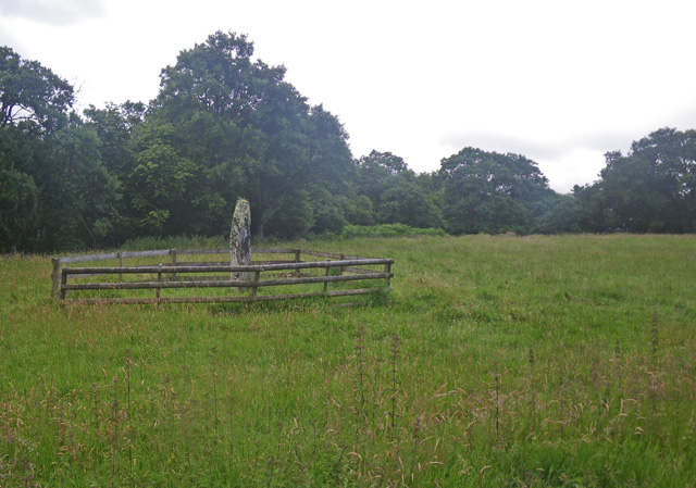
Photo: C Michael Hogan / Wikimedia Commons / CC BY-SA 2.0 One of several other prehistoric monuments on the Kintyre peninsula noted alongside Dun Skeig in the same regional record.
-
Ballochroy Standing Stones
A nearby Kintyre stone setting grouped with Dun Skeig among the peninsula's prehistoric sites.
-
Corriechrevie Cairn
A nearby prehistoric burial cairn on the Kintyre peninsula recorded alongside Dun Skeig.
What to look for
-
The Iron Age dun
An oval fort about 14 metres in diameter with an outer wall roughly 4 metres thick and a single entrance, the best-preserved of the site's two structures.
-
The vitrified fort
A second, separate fort on the same outcrop whose stonework shows signs of vitrification, now largely overgrown with grass and heather.
-
The summit view
From about 130 metres above sea level, a wide outlook over West Loch Tarbert and the surrounding Kintyre landscape that explains the site's defensive value.
Plan your visit
- Location
- 55.7567°N · 5.5747°W
- Nearest settlement
- Clachan
- Access
- Open access
- Terrain
- Rough ground — reasonable boots advised
- Time needed
- About 90 minutes
- Best time
- Dry daylight, when the steep approach and the overgrown vitrified remains are easier to assess.
- What survives
- The dun is the more legible structure; the vitrified fort is partly concealed by grass and heather.
- Facilities
- No dedicated visitor facilities are recorded at the hilltop site.
Opening & admission
No admission is charged; check Historic Environment Scotland's Canmore database for the latest record before visiting.
- Steep climb to a rocky hilltop fort site around 130m above sea level
- Ground can be uneven and vegetated near the vitrified fort remains
Nearby places
Sacred place · Prehistoric
Ballochroy
Argyll and Bute
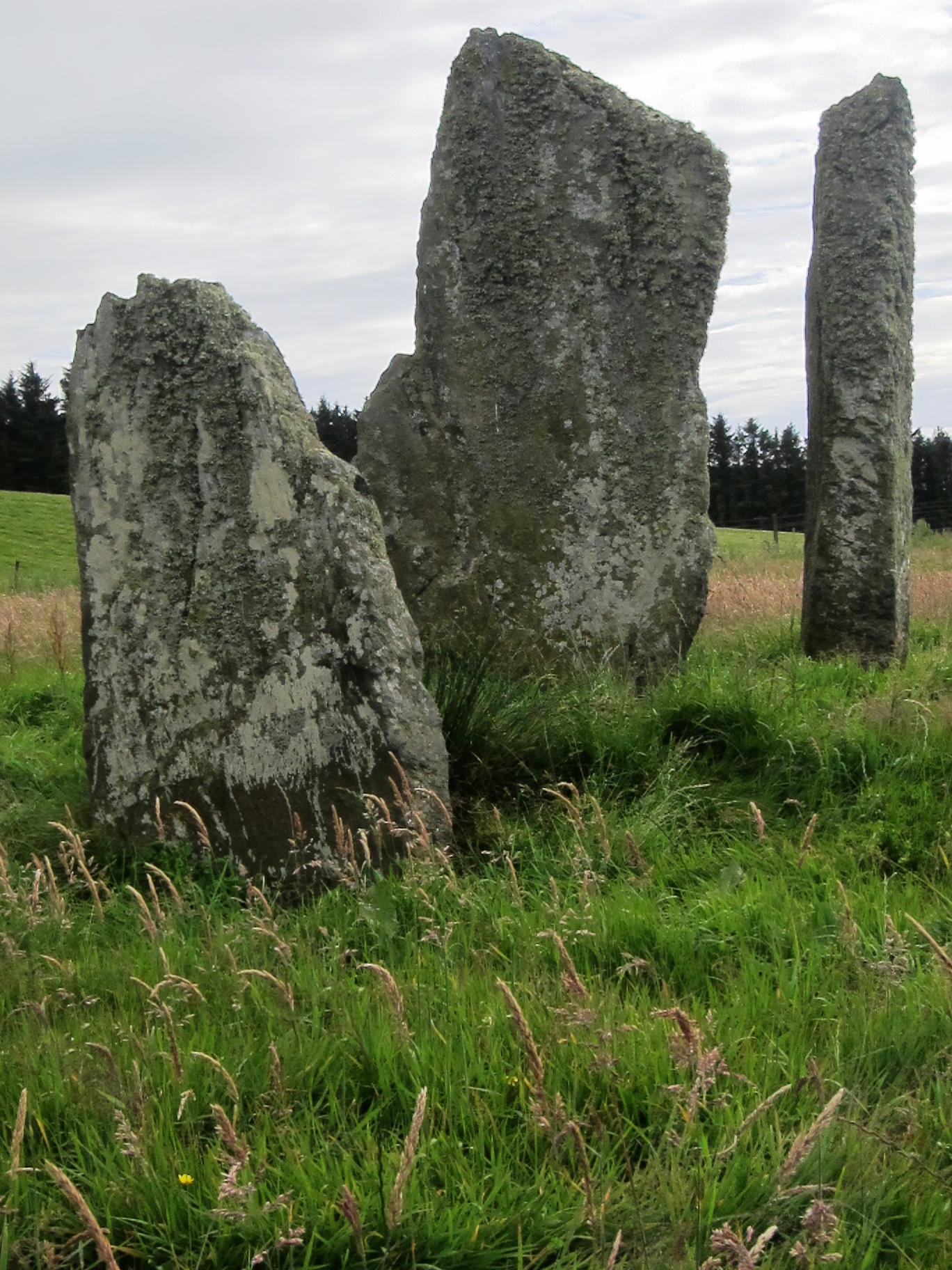
Alexander Thom argued its central stone's flat face was cut to point exactly at sunset over a named Jura peak at the solstices: making Ballochroy o…
- Near Campbeltown
- Some walking
Fortified place · Medieval
Dùn a' Choin Duibh
Argyll and Bute
Its Gaelic name preserves a guardian-dog legend rather than any battle record, and its ridge commands an open sightline across four separate lands.
- Near Tobermory
- Rough ground
Carved stone · Medieval
Kilberry Sculptured Stones
Argyll and Bute
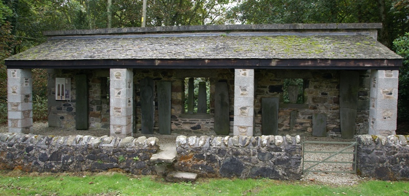
The Kilberry Sculptured Stones preserve medieval cross-slabs and grave markers from a parish church destroyed in the 17th century, keeping a disper…
- Near Kilberry
- Easy path
Sacred place · Prehistoric
Avinagillan standing stone
Argyll and Bute
A solitary standing stone raised somewhere in prehistory, its silent presence over the Kintyre shoreline outlasting any record of who put it there…
- Near Campbeltown
- Easy path
Questions people ask
- What is Dun Skeig?
- An Iron Age dun (a small, thick-walled fort) and a separate vitrified fort sharing a rocky summit above West Loch Tarbert in Kintyre, Argyll and Bute.
- How big is the dun at Dun Skeig?
- The Iron Age fort is oval, about 14 metres in diameter, with an outer wall roughly 4 metres thick and a single entrance.
- What does 'vitrified fort' mean?
- A fort whose stone walls have been fused together by intense heat; Dun Skeig's example is now overgrown with vegetation.
- How high above sea level is Dun Skeig?
- The site sits roughly 130 metres above sea level, overlooking West Loch Tarbert.
- Where is Dun Skeig in relation to Clachan?
- About 1 kilometre northwest of the village of Clachan on the Kintyre peninsula.
Sources
- Wikipedia: Dun Skeig
- Historic Environment Scotland — Canmore
- Treasures of Britain (1968), Drive Publications / Automobile Association
Explore more: Fortified places · Medieval · Argyll and Bute
The Ancient Codex, in your pocket
Get the Pocket Codex app
Carry the directory with you — Dun Skeig and thousands of ancient places across Britain and Ireland, offline, wherever you roam.