
Its name fuses Gaelic and Norse in one word — a fort whose very label records the island passing from Gaelic to Viking hands and back again.
River Laggan water runs below Dun Nosebridge’s raised earth-and-stone enclosure on Islay. Its Iron Age (roughly 800 BC until the Roman conquest) builders could look along the valley from the right bank before an approach reached the fort.
What follows is drawn from published sources, with each claim labelled by how firmly it is established.
The name
The name Dun Nosebridge is thought to blend two languages laid down centuries apart. "Dun" is Scottish Gaelic for a fort, while the second element probably derives from the Old Norse knaus-borg, "fort on the crag" — though hnaus-bog, "turf fort", has also been suggested. Either reading points to a site named twice over, first by Gaelic speakers and then reshaped by Norse ears, a small linguistic fossil of Islay's mixed early medieval population.
History
During the Iron Age, builders raised the fort on its position above the River Laggan, choosing ground that gave clear sight of the valley approach. Nothing in the surviving record fixes an exact date for its construction or its abandonment, but the earthworks themselves are the physical evidence of that original decision to fortify the crag. In the centuries after its use as a stronghold ended, the site passed into official protection as a scheduled monument, a legal status that recognises its archaeological importance and restricts unauthorised disturbance of the earthworks that remain.
The site has been examined repeatedly without a full excavation. Gordon Childe visited in 1934 and 1942; a resistivity survey across the grass-covered interior followed in 1961, and RCAHMS made a plan and description in 1979. The Oxford Hillforts Atlas records a roughly 15m by 25m summit, an earthwork bank and counter-scarp, and two ditches, but no excavated roundhouses, finds or dated deposits. That negative evidence is useful: it explains why the fort is classed by its visible form and setting rather than assigned a precise construction date.
Cultural influences
-
River-valley defence
The fort’s siting above the River Laggan shows how the valley approach shaped its defensive position.
Connections
-
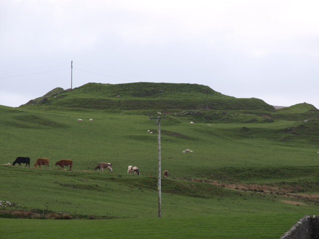
Photo: Andrew Abbott / Wikimedia Commons / CC BY-SA 2.0 The other Iron Age fort of the corpus on Islay, south-west of Kilmeny, built into the same landscape of defended heights.
-
River Laggan
The river the fort stands above, on its right bank, and the route through the island it commands.
-
Bridgend
The village north-west of the fort, the nearest settlement on Islay.
-
Islay
The island whose mixture of Gaelic and Norse naming is legible in the fort's own name.
-
Finlaggan
The island's later centre of lordship, a few miles north, showing the shift from Iron Age fort to medieval seat of power.
What to look for
-
Hilltop position
The fort sits on raised ground on the right bank of the River Laggan, giving it command of the surrounding valley.
-
Earthwork remains
The visible remains consist of the fort's defensive earthworks, protected today as a scheduled monument.
Plan your visit
- Location
- 55.7628°N · 6.1920°W
- Nearest settlement
- Bridgend
- Terrain
- Moderate walking
- Time needed
- About 30 minutes
- Best time
- Daylight in settled weather, when the earthworks and valley setting are easier to read.
- What survives
- Surviving defensive earthworks on raised ground above the River Laggan.
- Facilities
- No dedicated visitor facilities are recorded at the monument.
Opening & admission
No current admission details are recorded — check the managing body's site before travelling.
- A scheduled monument; no public access route is documented.
Nearby places
Fortified place · Prehistoric
Dun Guaidhre
Argyll and Bute
A small Iron Age (the period from roughly 800 BC to the Roman conquest) stronghold on Islay whose very name is entangled with a Norse-Gaelic king w…
- Near Kilmeny
- Rough ground
Building or ruin · Medieval
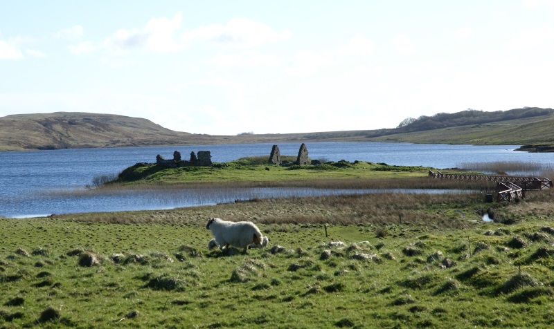
Finlaggan, Eilean Mor
Argyll and Bute
In the first half of the 7th century a monastic community was established on Eilean Mor, the largest of the three islands in Loch Finlaggan: either…
- Near Port Askaig
- 520 metres from car park
- Some walking
Tomb or burial place · Pictish & early medieval
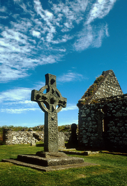
Kildalton Cross and Chapel
Argyll and Bute
A single carved slab from around the 8th century, still standing almost undamaged in its churchyard: widely judged the finest surviving Celtic high…
- Near Port Ellen
- 1 min walk from car park
- Easy path
Fortified place · Medieval
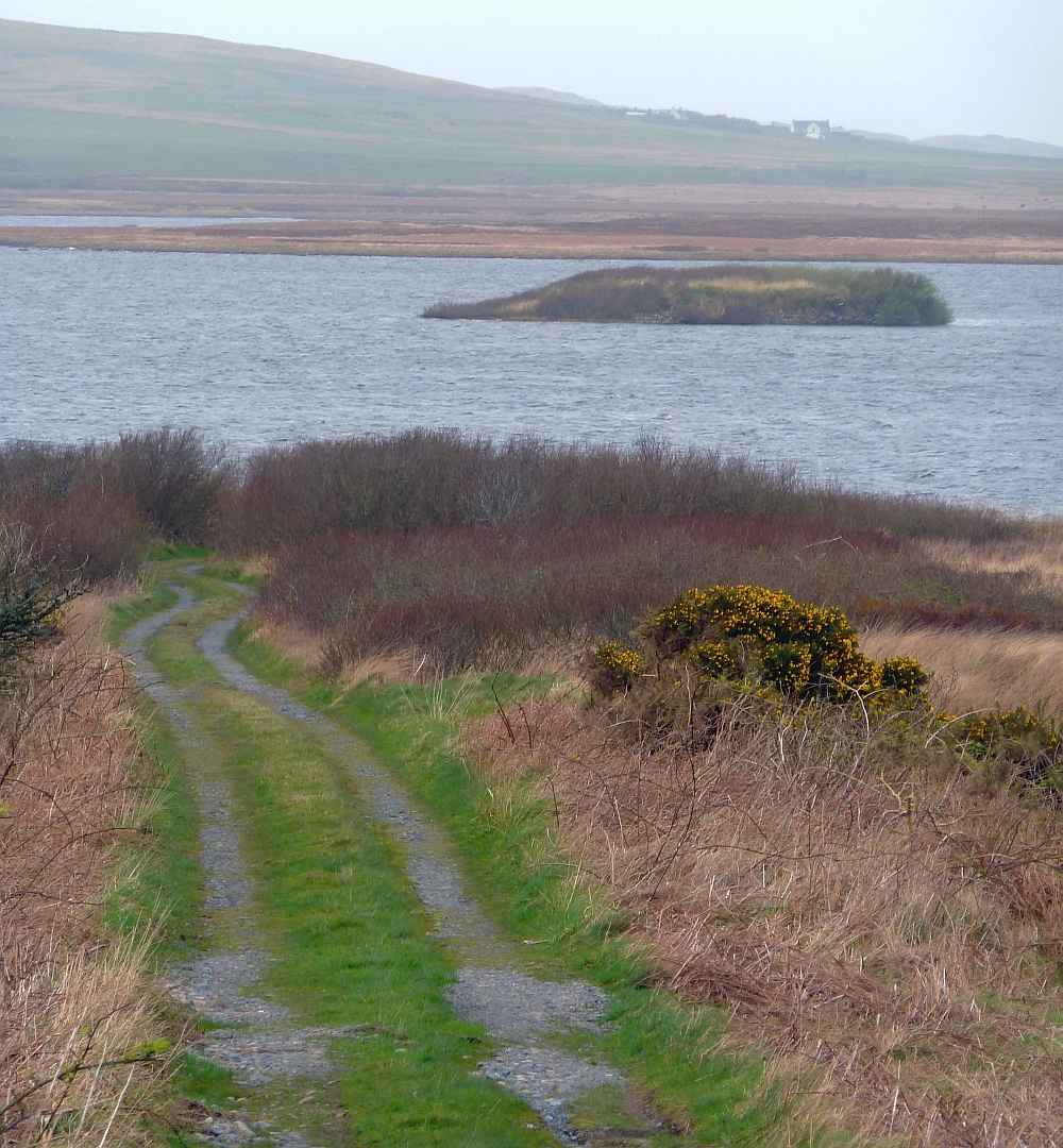
Loch Gorm Castle
Argyll and Bute
A Clan Donald stronghold so thoroughly reduced that its island now looks bare from the shore, yet its walls changed hands four times in fewer than…
- Rough ground
Questions people ask
- What is Dun Nosebridge?
- An Iron Age fort on Islay, Scotland, standing southeast of Bridgend on the right bank of the River Laggan.
- What does the name Dun Nosebridge mean?
- Likely a Gaelic-Norse blend: "dun" (fort) plus the Norse knaus-borg ("fort on the crag"), or possibly hnaus-bog ("turf fort").
- Where is Dun Nosebridge located?
- Southeast of Bridgend on Islay, on the right bank of the River Laggan, in Argyll and Bute.
- Is Dun Nosebridge a protected site?
- Yes, it is a designated scheduled monument, giving its earthworks legal protection from unauthorised disturbance.
- Has Dun Nosebridge been excavated?
- No excavation record survives for the site; its evidence rests on the surviving earthworks rather than dug finds.
Sources
- Wikipedia: Dun Nosebridge
- Newton, Islay (1995)
- Wikidata: Dun Nosebridge
- Atlas of Hillforts — Islay, Dùn Nosebridge (SC2153)
Explore more: Fortified places · Medieval · Argyll and Bute
The Ancient Codex, in your pocket
Get the Pocket Codex app
Carry the directory with you — Dun Nosebridge and thousands of ancient places across Britain and Ireland, offline, wherever you roam.