
Its Gaelic name, Middle Fort, hints at a lost network of strongholds along this stretch of Colonsay — of which this is now the only one still named.
Port Mòr lies below Dùn Meadhonach’s tumbled ring on Colonsay’s western side. The Gaelic name means Middle Fort; below the slope, the shore and Lower Kilchattan’s scattered crofts occupy the bay.
No excavation has been carried out here, and no finds or written record survive to say who built it or when. What remains is the fort’s position: a defensible height chosen to watch over the anchorage at Port Mòr and the routes along the coast, in a pattern typical of the small promontory and hill forts that dot the Hebridean islands.
The name itself is the clearest surviving clue to the site’s past. Calling a fort the “middle” one only makes sense in relation to others — implying that Dùn Meadhonach once stood as part of a group of forts along this shore, most of which have since lost their names or been absorbed into the landscape without record.
What follows is drawn from published sources, with each claim labelled by how firmly it is established.
The name
Dùn Meadhonach is Gaelic for "Middle Fort" — dùn being the standard Gaelic term for a fort or stronghold, widespread across place names in the Hebrides, and meadhonach meaning "middle" or "central". The name implies a position relative to at least one other fort nearby, though no companion sites are recorded under surviving names.
History
Dùn Meadhonach occupies the summit of an isolated rocky ridge about 30 metres above the surrounding ground, roughly 530 metres north of Balnahard farmhouse. Its position above Port Mòr and Lower Kilchattan gives it wide views across the coast, but no excavated sequence fixes when its walls were built or how long they were used. The name means “Middle Fort”, and the RCAHMS survey treats it as one of several fort sites in the Balnahard landscape rather than proof of a securely dated Iron Age occupation.
The main enclosure is oval, measuring about 58 metres north-east to south-west by 23 metres across the remains of a stone wall around two metres thick. Much of that wall has fallen down the steep sides of the ridge, but the outer face is best preserved on the east, where it survives to four courses. The 1974 Ordnance Survey record similarly describes the wall as a stony mound with short stretches of outer face still visible on the north-west and south.
The survey records an additional defensive line on the more accessible east side. This outwork encloses a lower rocky terrace to the north-east and retains walling up to three courses high externally. A steep path on the west is the likeliest route of the principal entrance; a break in the eastern wall may instead have given access to the outwork. The contrast between the steep sides and this extra eastern defence explains the fort’s deliberately selective approaches.
Inside the enclosure, three sub-rectangular buildings survive as footings on the north-west, each about 5.5 by 3.5 metres internally. They appear to have been built over the fort wall and their relationship to the fortification cannot be securely dated. Much of the interior is rocky and unsuitable for habitation, so the visible huts should not be treated as straightforward evidence for the original occupants; they may represent a later use of the ridge after the defensive wall had declined.
In about 1862, rabbits exposed two small cups, two saucer-sized plates described as bronze or copper, and an iron knife and fork at the foot of Dùn Meadhonach. The objects were taken off the island and are now lost, so they cannot supply a secure chronology. Their reported discovery matters because it shows that the record is not one of complete absence of finds: it is a site without controlled excavation and without surviving artefacts that can now be reassessed.
Connections
-

Photo: Dr Julian Paren / Wikimedia Commons / CC BY-SA 2.0 A second Colonsay fort, linked by tradition to Colla Uais and to the island's earliest church.
-
.jpg?width=320)
Photo: Andrew Abbott / Wikimedia Commons / CC BY-SA 2.0 The promontory fort on the same island, watching a different pair of landings.
-
Lower Kilchattan
The village below the fort, in the ground it commands.
-
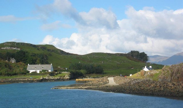
Photo: David Crocker / Wikimedia Commons / CC BY-SA 2.0 Port Mòr
The bay the fort overlooks, and the likely reason for its position.
-
Colonsay
The Inner Hebridean island whose small area carries an unusual number of forts, this one holding the middle of them.
Discovery & excavation
The fort was recorded in the RCAHMS inventory and visited by the Ordnance Survey in April 1974. Earlier, in about 1862, rabbits exposed small metal vessels and iron cutlery at the foot of the ridge; these objects were removed from Colonsay and are now lost. No controlled excavation is recorded, so neither the reported finds nor the surviving walls provides a firm construction date.
What to look for
-
The view over Port Mòr
The fort occupies rising ground with a clear outlook over Port Mòr, the small bay below, and the township of Lower Kilchattan — the kind of commanding, watchful position typical of hillforts sited to oversee an anchorage and its approaches.
Plan your visit
- Location
- 56.0720°N · 6.2359°W
- Nearest settlement
- Lower Kilchattan
- Access
- Open access
- Terrain
- Rough ground — reasonable boots advised
- Time needed
- About 30 minutes
- What survives
- A small undated earthwork survives on rising ground above Port Mòr; no excavation has established its original form in detail.
Opening & admission
No admission information is recorded — check with local landowners or the island's visitor information before travelling.
- Located on the island of Colonsay, overlooking Port Mòr and the village of Lower Kilchattan
Nearby places
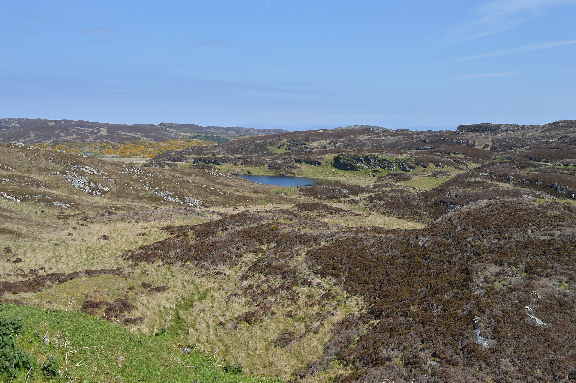
Fortified place · Medieval
Dùn Eibhinn
Argyll and Bute
A hilltop stronghold on Colonsay carries a Norse name to this day: Fort of Eyvind: a rare physical trace of Viking-era rule surviving in the Hebrides.
- Near Scalasaig
- Rough ground
.jpg?width=800)
Fortified place · Prehistoric
Dùn Galláin
Argyll and Bute
The fort's own name, Fort of the Strangers, and a battle remembered on the beach just to its north, seem to point at the same event from two differ…
- Near Scalasaig
- Rough ground
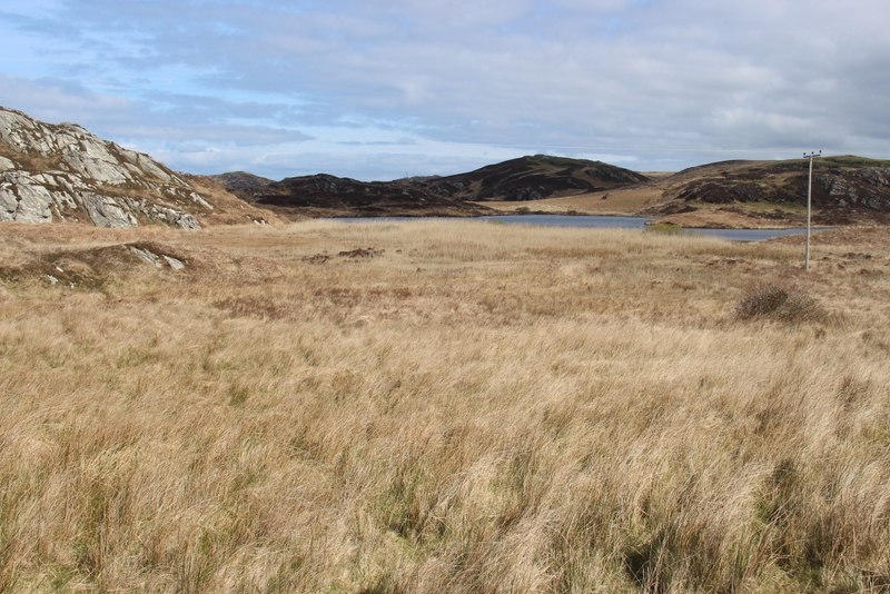
Fortified place · Medieval
Dùn Cholla
Argyll and Bute
Tradition ties this hilltop fort to an exiled Irish king and to Columba's first Scottish church: one summit knotted into two founding legends.
- Near Scalasaig
- Rough ground
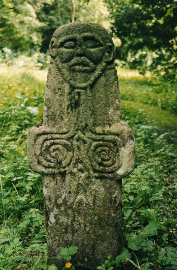
Carved stone · Medieval
Riasg Buidhe Cross
Argyll and Bute
Its carver rendered Christ with spiral arms and a fishtail body, an image found nowhere else among Scotland's early medieval (roughly AD 400–1100,…
- Near Scalasaig
- Easy path
The setting
View towards Cuan an Iar in the wider island landscape around Dùn Meadhonach; the fort is not visible.
Photo: Julian Paren / Wikimedia Commons / CC BY-SA 2.0
Longfield and Port Mòr landscape near Dùn Meadhonach; the fort is not visible.
Photo: Julian Paren / Wikimedia Commons / CC BY-SA 2.0
Questions people ask
- What does the name Dùn Meadhonach mean?
- It is Gaelic for "Middle Fort" — dùn meaning fort and meadhonach meaning middle or central.
- Where is Dùn Meadhonach located?
- On the Inner Hebridean island of Colonsay, Scotland, overlooking Port Mòr and the village of Lower Kilchattan.
- Has Dùn Meadhonach been excavated?
- No excavation record survives, so its date of construction and period of use remain unknown.
- Why is it called the 'Middle' fort?
- The name implies it once stood among a group of forts along the coast, though no other named sites survive to confirm this.
Sources
The Ancient Codex, in your pocket
Get the Pocket Codex app
Carry the directory with you — Dùn Meadhonach and thousands of ancient places across Britain and Ireland, offline, wherever you roam.