
Reachable only by boat or cliff path, this ruined castle stands atop an earlier Gaelic fort and may have guarded a harbour built for Norse-age ships.
At Sorne Point, waves surround the rocky spur below Dùn Ara on almost every side. The ruin faces Coll and the Ardnamurchan peninsula; approach is by a narrow cliff path from Glengorm Castle or by boat along Mull’s northern shore.
What stands today is a medieval stone castle raised over something older: a dùn, the Gaelic word for a fortified stronghold, that had occupied the same defensible outcrop long before mortared walls appeared. Below the ruins lies the Bathing Pool, a small harbour cut or built into the rock, which may itself predate the castle and hints that the site was valued for its sheltered anchorage rather than its walls alone; it is thought the Norse made use of the same landing.
For generations Clan MacKinnon held Dùn Ara, working the castle into their control of this stretch of coastline until it was finally given up in 1642. The abandoned ruin then stood exposed to the weather for more than three and a half centuries before it was formally recognised as a scheduled monument in 2003.
What follows is drawn from published sources, with each claim labelled by how firmly it is established.
History
Long before the surviving stonework was raised, a dùn, a Gaelic fortified stronghold, already occupied this rocky spur at Sorne Point, its position chosen to command the sea approaches towards Coll and Ardnamurchan. The name Dùn Ara preserves that earlier fortification, marking out ground that had been valued for its natural defences well before any castle stood there.
Below the rock lies the Bathing Pool, a small harbour that appears to have been cut or built rather than simply found in nature, and it may have existed even earlier than the fortification above it. Whoever controlled the outcrop at Sorne Point controlled this sheltered landing place too, and the anchorage is thought to have seen use by Norse seafarers exploiting the same natural shelter on their routes through the Hebrides.
In medieval times the dùn was rebuilt in stone as a proper castle, its walls set directly onto the outcrop so that the cliffs themselves formed part of the defence. The new castle stood squarely above the Bathing Pool, and its position let its occupants watch both the harbour below and the open sea beyond towards Coll and Ardnamurchan.
Clan MacKinnon held and garrisoned the stronghold for generations, using its command of the Bathing Pool below to control movement along this part of Mull's northern coast. Their occupation lasted through the medieval period until the castle was finally abandoned in 1642, after which the buildings were left to the weather.
For more than three and a half centuries after Clan MacKinnon left, the ruins stood largely undisturbed, accessible only by the same sea crossing or cliff path used by their original occupants. On 11 November 2003 Dùn Ara was designated a scheduled monument, extending legal protection to both the visible castle remains and the earlier dùn beneath them.
People
-
Clan MacKinnon
Held and garrisoned Dùn Ara through the medieval period, controlling the castle until its abandonment in 1642.
Connections
-
Glengorm Castle
The nearby house, about 1.5 kilometres southeast, whose grounds hold the path and shoreline route by which Dùn Ara is reached today.
-
Isle of Coll
Visible across the water from Dùn Ara, part of the seaward outlook the fortification's position was suited to watch over.
-
Ardnamurchan
The mainland peninsula visible from the castle, another point on the coastal sightline covered by its position at Sorne Point.
What to look for
-
The Bathing Pool
A small man-made harbour cut into the rock below the castle, thought possibly to predate the fortress that was positioned to guard it.
-
The sea approach
Dùn Ara can still only be reached by boat or by the cliff path from Glengorm Castle, the same restricted access that shaped the site's original defensive value.
-
Views to Coll and Ardnamurchan
From the ruined walls the coastline opens out towards the Isle of Coll and the Ardnamurchan peninsula, the sightlines that made the outcrop useful for watching seaward approaches.
-
Layered fortifications
Medieval masonry sits directly over the remains of the earlier dùn, allowing two distinct periods of fortification to be traced on the same small footprint of rock.
Plan your visit
- Location
- 56.6403°N · 6.1978°W
- Nearest settlement
- Tobermory
- Access
- Reached on a public path
- Terrain
- Rough ground — reasonable boots advised
- Time needed
- About 60 minutes
- What survives
- Ruined medieval masonry overlies the remains of an earlier dun on a rocky coastal outcrop.
Opening & admission
No admission charge is recorded; check the managing body's site before travelling for the latest access information.
- Reachable only by a path from Glengorm Castle or by sea
- Site sits on a rocky outcrop at Sorne Point, so footing is uneven
- A scheduled monument
Nearby places
Fortified place · Medieval
Cairnburgh Castle
Argyll and Bute
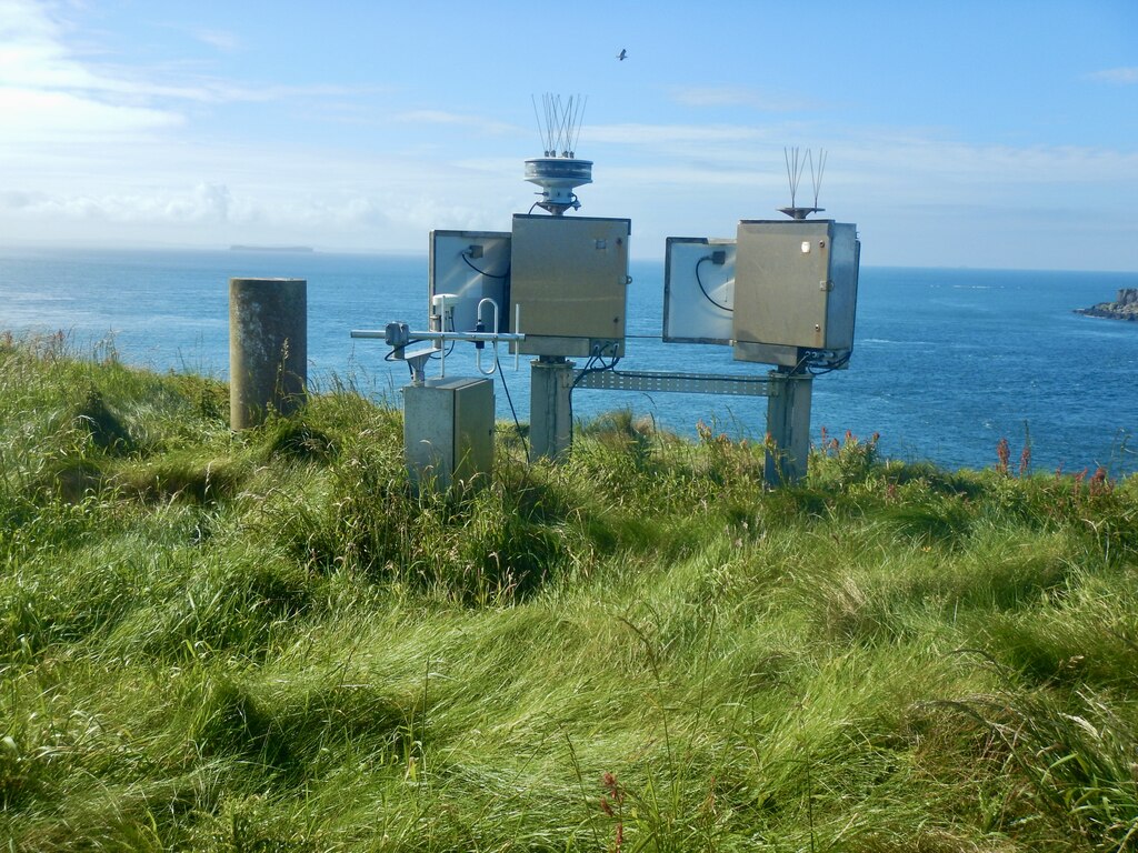
A single fortress split across two separate islets in the Treshnish Isles, held in turn by the heirs of Somerled and the Macleans of Duart for over…
- Near Tobermory
- Rough ground
Building or ruin · Medieval
Aros Castle
Argyll and Bute
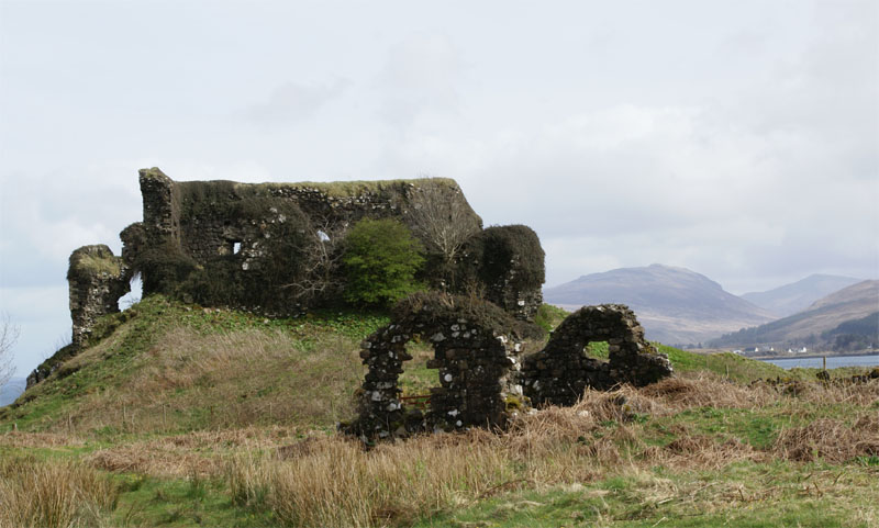
A single stronghold changed hands between three of the West Highlands' great dynasties in turn: MacDougall, MacDonald and Maclean: each forfeiture…
- Near Salen
- Rough ground
Fortified place · Iron Age
Dùn Morbhaidh
Argyll and Bute
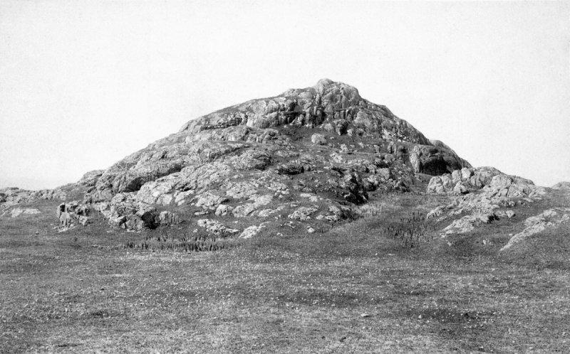
Two potsherds incised with the figures of deer, lifted from Dùn Morbhaidh and now kept in the National Museum of Antiquities of Scotland, are among…
- Near Gallanach
- Rough ground
Sacred place · Medieval
St Kenneth's Chapel
Argyll and Bute
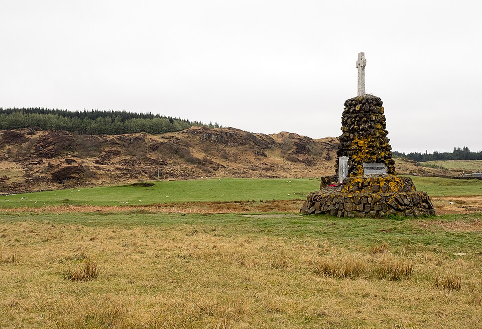
Eight medieval cross slabs and a sixteenth-century high cross survive inside its walls, set within an island cemetery still used for burials today.
- Rough ground
The setting
Bathing pool and rocky coast near Dùn Ara; the fort outcrop is not visible.
Photo: Gordon Hatton / Wikimedia Commons / CC BY-SA 2.0
Questions people ask
- What is Dùn Ara?
- A ruined medieval castle on the Isle of Mull, built over an earlier dùn (a Gaelic fortified stronghold) on a rocky outcrop at Sorne Point.
- Where is Dùn Ara located?
- In Glengorm on Mull's northern coast, about 1.5 kilometres northwest of Glengorm Castle, reachable only by boat or by a cliff path.
- Who controlled Dùn Ara?
- Clan MacKinnon held and used the castle throughout the medieval period until it was abandoned in 1642.
- Is Dùn Ara a protected monument?
- Yes. It was designated a scheduled monument on 11 November 2003, protecting both the castle ruins and the earlier dùn beneath them.
- What is the Bathing Pool at Dùn Ara?
- A small man-made harbour below the castle, possibly built before the fortress itself, which the castle is thought to have been positioned to defend.
Sources
- Wikipedia: Dùn Ara
- Historic Environment Scotland — Scheduled Monument record
- Wikidata: Dùn Ara
Explore more: Fortified places · Medieval · Argyll and Bute
The Ancient Codex, in your pocket
Get the Pocket Codex app
Carry the directory with you — Dùn Ara and thousands of ancient places across Britain and Ireland, offline, wherever you roam.