
A single 1304 land grant is the earliest written trace of a stronghold long credited to the Bishop of Argyll, though excavation has since pointed to the MacDougalls as its true builders.
Two broken walls and two still standing — one of them rising almost seven metres — are what remain on a limestone ridge above the north-western shore of Lismore. The south-west and south-east curtain walls have collapsed entirely, but enough of the north-east and north-west survive to show how thick they once were, between 1.4 and 2.4 metres, enclosing a small courtyard flanked by ranges of buildings. From the ridge the castle commands a view over Loch Linnhe and the island of Bernera, a position chosen for control of the water below rather than comfort.
For generations the castle was assumed to be the work of the Bishop of Argyll, whose diocese included the see of Lismore. Research since has cast doubt on that story: the diocese spent the thirteenth century in genuine poverty, and neither the see nor its bishop had the resources to build in stone. The more likely builders were the MacDougalls, the family who controlled Lorn and the surrounding islands, and who seem to have raised the castle around 1290 at a moment when the Bishop of Argyll himself may have been one of their own kin.
What is known of the site comes largely from six excavation seasons carried out by the archaeologist Dennis Turner in the early 1970s, work that uncovered not only the castle’s doorways and building ranges but also pieces of worked stone suggesting the hilltop had drawn attention long before any wall was built there.
What follows is drawn from published sources, with each claim labelled by how firmly it is established.
History
Long before any stonework rose on the ridge, pieces of worked stone of a prehistoric type turned up among the excavation layers, hinting that the hilltop had already drawn attention thousands of years earlier; traces of what may have been an earlier structure beneath the castle's footprint point to occupation stretching back well before the thirteenth century, though its nature remains unclear.
Around 1290 a fortified enclosure went up on the ridge, built not by the Bishop of Argyll as long assumed but by the MacDougalls, whose control of Lorn and Lismore made them the only local power with the resources for such a project. At the time, the Bishop of Argyll, Laurence de Ergadia, may himself have belonged to the same family, blurring the line between church authority and clan power on the island.
The earliest written record of the castle appears in a grant of 1304, when Eugenil de Ergadia, Lord of Lorn, Morvern and Lismore, made over lands beside Achichendone — Achanduin — to Andrew, Bishop of Argyll. The document confirms that a MacDougall lord, not the bishopric, still held the castle and the ground around it at that date, thirty years after it was likely raised.
The MacDougalls were forfeited in 1308 after the Battle of the Pass of Brander cost them Dunstaffnage Castle and most of their lands, though Lismore goes unmentioned in the surviving records of redistribution, suggesting they may have kept the island regardless. It had already been promised elsewhere as the dowry for Juliana MacDougall's marriage to Alexander MacDonald, later Lord of the Isles, and their refusal to hand it over drew England's Edward I into the dispute on the MacDonalds' side.
Archaeological evidence points to a long quiet spell at Achanduin, with little sign of occupation from around 1400 until the site was pressed back into use as a farmstead between the seventeenth and nineteenth centuries. The once-defended ridge had become ordinary agricultural ground, its unused walls slowly collapsing around whatever farm buildings stood in the old courtyard.
By 1451 John Maol had been granted Dunolly and other lands by John Stewart, Lord of Lorn, and it was around this time that the MacDougalls are believed to have left Lismore for the mainland to build Dunollie Castle. Within a year the Bishop of Argyll appears to have gained possession of Achanduin and occupied it briefly, though the evidence suggests bishops rarely visited Lismore even once the castle was theirs.
Between 1970 and 1975 the archaeologist Dennis Turner excavated the site across six summer seasons, working mostly in August. He died before completing his report, and it fell to David H Caldwell and Geoffrey P Stell to finish it from his notes, working at a disadvantage since the excavation predated modern recording methods and some of Turner's notes proved difficult to interpret.
People
-
Dennis Turner
Archaeologist who excavated Achanduin Castle over six seasons between 1970 and 1975.
-
David H Caldwell
Completed Dennis Turner's excavation report after Turner's death, working from his notes.
-
Geoffrey P Stell
Co-completed Dennis Turner's excavation report after Turner's death, working from his notes.
-
Laurence de Ergadia
Bishop of Argyll at the time the castle was likely built around 1290, possibly himself of MacDougall kin.
-
Alexander MacDonald
Became Lord of the Isles in 1293 and, through marriage to Juliana MacDougall, had a claim to Lismore as her dowry.
-
John Maol
Granted Dunolly and other lands in 1451 by John Stewart, Lord of Lorn, around the time the MacDougalls left Lismore.
Cultural influences
-
Gaelic lordship and bishopric
Achanduin’s history was shaped by the overlap of MacDougall lordship and the bishopric of Argyll on Lismore, rather than by a simple secular–ecclesiastical divide.
Connections
-
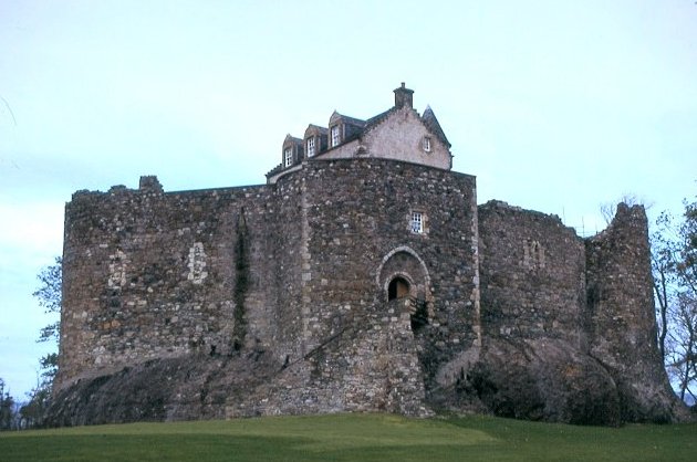
Photo: Anne Burgess / Wikimedia Commons / CC BY-SA 2.0 The MacDougalls' main stronghold, lost along with most of their lands after their forfeiture in 1308.
-
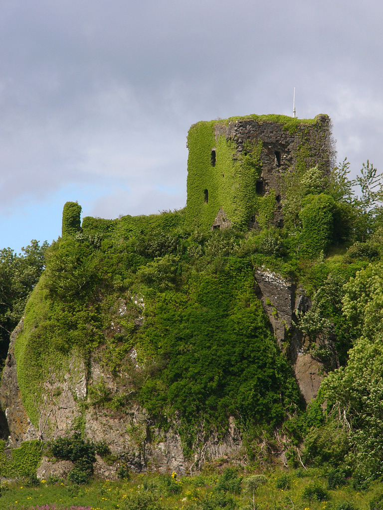
Photo: Philippe Giabbanelli / Wikimedia Commons / CC BY-SA 3.0 Believed to be the castle the MacDougalls built on the mainland after leaving Lismore around 1451.
-
Loch Linnhe
Achanduin occupies a limestone ridge on Lismore’s north-west shore, overlooking Loch Linnhe and the island of Bernera.
Discovery & excavation
Excavations directed by Dennis Turner between 1970 and 1975 uncovered two doorways leading from the courtyard into the north-west range of buildings, along with pieces of worked stone of a prehistoric type pointing to occupation of the hilltop long before the castle was built. Turner died before completing his report, which David H Caldwell and Geoffrey P Stell finished using his notes.
What to look for
-
The standing curtain walls
The north-east wall and a large stretch of the north-west wall still stand, reaching as much as 6.7 metres high and varying between 1.4 and 2.4 metres thick, even though the south-west and south-east walls have collapsed entirely.
-
The courtyard and building ranges
Within the roughly 22-metre-square enclosure, the footprint of at least two ranges of buildings can be traced either side of a small courtyard, with the south-east range showing signs of having been the more substantial of the two.
-
The ridge-top setting
The ruin sits on the summit of a limestone ridge on Lismore's north-western shore, with views over Loch Linnhe and the island of Bernera that show why the site was chosen for a defended position.
Plan your visit
- Location
- 56.4944°N · 5.5689°W
- Nearest settlement
- Lismore
- Terrain
- Rough ground — reasonable boots advised
- Time needed
- About 60 minutes
- Best time
- Dry daylight, after confirming local access on Lismore.
- What survives
- Two curtain walls survive on a limestone ridge, while the remaining sides have collapsed.
- Facilities
- No visitor facilities are documented at the ruin.
Opening & admission
No current admission or access details are recorded — check locally before visiting.
- The ruins stand on a ridge on the island of Lismore, reached via Achnacroish
- No public access route or facilities are documented
Nearby places
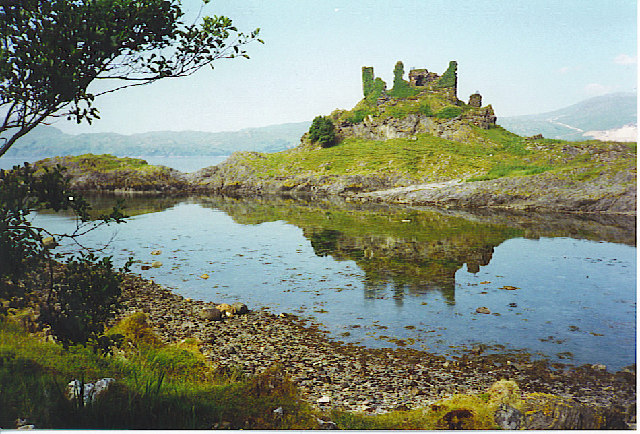
Fortified place · Medieval
Castle Coeffin
Argyll and Bute
A 13th-century hall-castle on a Lismore promontory, raised on the site of an earlier Viking stronghold and named for a Danish prince said to haunt…
- Rough ground
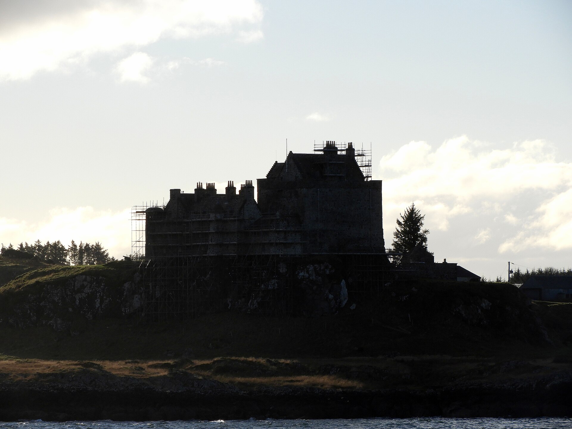
Fortified place · Medieval
Duart Castle
Argyll and Bute
A ruin stripped to its foundations after 1691 and rebuilt two centuries later by the very chief's descendant who lost it: a rare case of a clan sea…
Building or ruin · Medieval
St Moluag's Cathedral, Lismore
Argyll and Bute
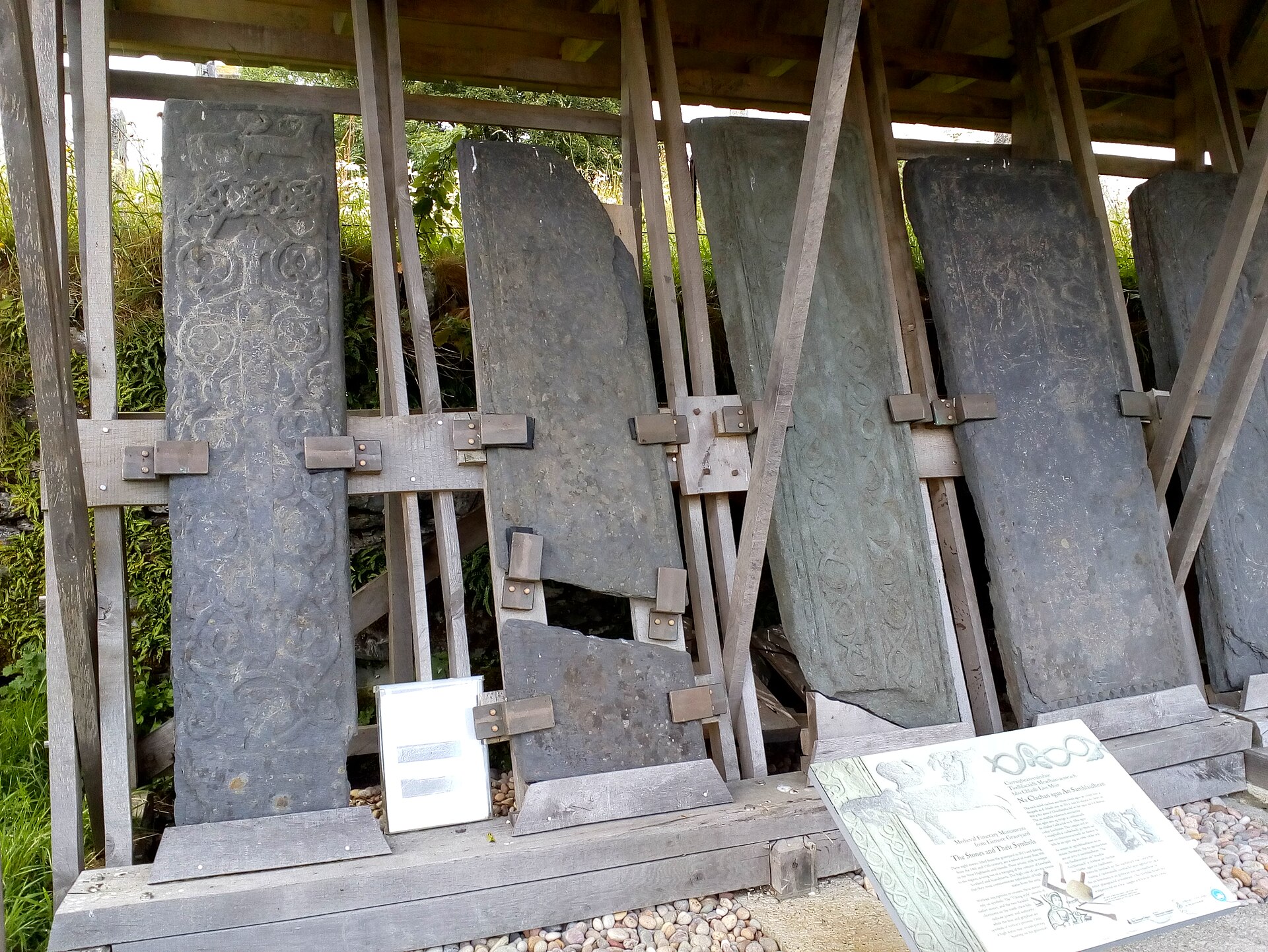
The parish church swallowed a medieval cathedral whole in 1749, still wearing its doorways, piscina: the basin near an altar for rinsing communion…
- Easy path
Fortified place · Iron Age
Tirefour Castle
Argyll and Bute
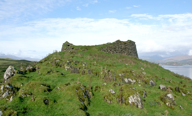
A drystone broch: a round, hollow-walled tower distinctive to Scotland's Iron Age, the centuries before Rome arrived: survives to a maximum height…
- Rough ground
Questions people ask
- Who built Achanduin Castle?
- Long attributed to the Bishop of Argyll, the castle was more likely built by the MacDougalls around 1290, since neither the bishopric nor the see had the wealth to construct it.
- When was Achanduin Castle built?
- Archaeological evidence dates construction to around 1290, with the ruins generally attributed to the thirteenth century.
- What happened to the castle after the MacDougalls lost power?
- After their forfeiture in 1308 ownership grew unclear; the Bishop of Argyll seems to have gained possession by 1452, though evidence suggests bishops rarely visited.
- Who excavated Achanduin Castle?
- Dennis Turner excavated the site across six seasons between 1970 and 1975; David H Caldwell and Geoffrey P Stell completed his report after his death.
- Is Achanduin Castle a protected site?
- Yes, Achanduin Castle is a scheduled monument, recognising its archaeological and historical importance on Lismore.
Sources
- Wikipedia: Achanduin Castle
- Historic Environment Scotland — Scheduled Monument record
Explore more: Building or ruins · Medieval · Argyll and Bute
The Ancient Codex, in your pocket
Get the Pocket Codex app
Carry the directory with you — Achanduin Castle and thousands of ancient places across Britain and Ireland, offline, wherever you roam.