
Two Iron Age hillforts crown the same ridge — fortified settlements built by communities living before and during the early centuries of recorded history — one wrapped in a pale stone wall, the other in earthen banks alone. Their purpose still divides opinion.
A dry-stone wall several metres thick still crowns one summit of a twin-humped ridge east of Brechin, its pale stone visible across the surrounding farmland. This is the White Caterthun, one of two hillforts built by communities living before and during the early centuries of recorded history that share the ridge known collectively as the Caterthuns.
Within the oval enclosure of the White Caterthun’s wall lies a well or cistern cut into the summit, evidence that whoever built and used the fort planned for a water supply during occupation. Its neighbour a short distance to the east, the Brown Caterthun, was built quite differently: rather than a single dominant wall, it is ringed by a series of earthen embankments, and takes its name either from the darker colour of its banked earth or from an old British word for hill. Curiously, little evidence has been found here of houses, farming, or a water supply, leaving the earthwork’s true purpose unresolved.
Several entrances cut through both forts’ defences, but their radial layout has no agreed explanation. Radiocarbon dating indicates that the Brown Caterthun’s earthworks were raised and reworked over several centuries; the White Caterthun’s stone wall is thought to be a later addition built by the Picts or their forebears.
What follows is drawn from published sources, with each claim labelled by how firmly it is established.
The name
The White Caterthun takes its name from the pale, light-coloured stone of the massive dry-stone wall that rings its summit. The Brown Caterthun, defined instead by earthen banks rather than stone, may take its name from the darker colour of that banked earth, or from the old British word for hill, bron or bryn, rather than from any single observed colour.
History
During the second half of the first millennium BC, radiocarbon evidence shows the earthworks of the Brown Caterthun were raised and then reworked repeatedly over several centuries. Its builders cut bank after bank into the hillside without ever adding a defensive stone wall, a well, or any clear trace of the housing and farming that mark most Iron Age forts elsewhere, leaving the site's true function open to question from the very period of its construction.
In the first few centuries AD, the massive dry-stone wall that still crowns the White Caterthun is thought to have been built by the Picts or their immediate progenitors, enclosing an oval summit around a central well or cistern. Earlier activity on this hill may have overlapped with the Brown Caterthun's repeated reworking, suggesting the two summits were not always used in isolation.
At an unrecorded point in their long use, both hillforts acquired several entrances cut through the defences. Their arrangement around each summit has never been fully explained, and the landscape features to which the entrances may once have aligned have not survived in the record.
In recognition of their rarity as a paired Iron Age monument, the White Caterthun and the Brown Caterthun were together designated as a scheduled monument, giving both earthworks legal protection. The scarcity of evidence for everyday occupation, farming, or water supply on the Brown Caterthun in particular has kept its purpose - defensive stronghold, ceremonial gathering place, or something else again - an open question rather than a settled one.
Cultural influences
-
Iron Age hillfort landscapes
The paired White and Brown Caterthuns show two contrasting forms of later-prehistoric hilltop enclosure in the Angus uplands.
Connections
-
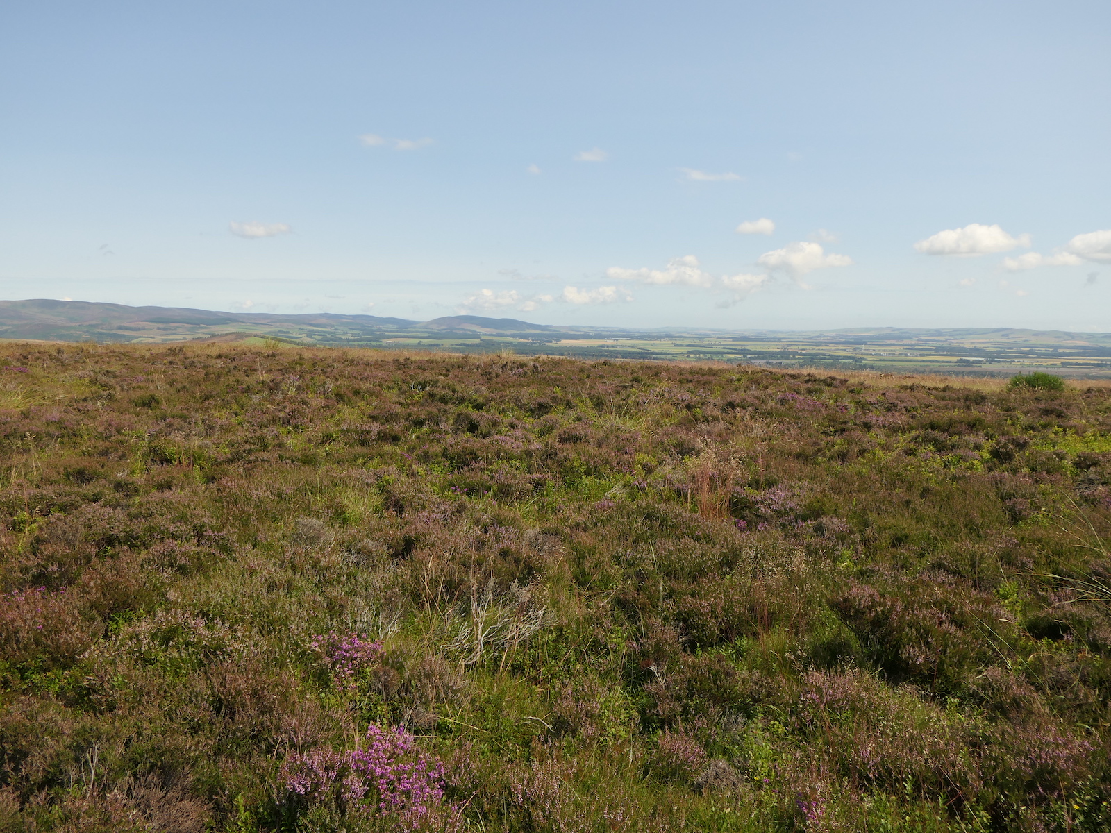
Photo: Richard Webb / Wikimedia Commons / CC BY-SA 2.0 The stone-walled hillfort forms the paired monument with the earthwork enclosure of Brown Caterthun.
-
Brown Caterthun
The multi-banked earthwork enclosure is the companion hillfort to White Caterthun.
Discovery & excavation
Radiocarbon dating of the Brown Caterthun's earthworks established that they were built and reworked over several centuries in the later Iron Age, providing the principal scientific basis for dating the site in the absence of artefacts or a clear structural sequence. The same technique suggests some phases of the White Caterthun may have been contemporary with its neighbour, even though the White Caterthun's main stone wall is thought to belong to a somewhat later, early historic period.
What to look for
-
The dry-stone wall of the White Caterthun
A massive wall of pale, light-coloured stone rings the oval summit of the White Caterthun, still substantial enough in places to convey the scale of the original defence.
-
The summit well or cistern
At the centre of the White Caterthun's enclosure lies a well or cistern, cut to provide water for those occupying the fort.
-
The Brown Caterthun's earthen embankments
In place of a stone wall, the Brown Caterthun is defined by a series of banked earthworks running around the hilltop, built and altered over several centuries.
-
The radiating entrances
Both hillforts show several entrances breaking through their defences and fanning outward from the summit like the spokes of a wheel, a layout whose original purpose is unknown.
Plan your visit
- Location
- 56.7842°N · 2.7408°W
- Access
- Open access
- Terrain
- Moderate walking
- Time needed
- About 90 minutes
Opening & admission
Free and open access as an outdoor hillfort site; check the managing body's site for any current visitor guidance.
- Two hillforts on adjoining summits (White and Brown Caterthun) reached by climbing to the ridge tops
- White Caterthun retains a substantial dry-stone rampart around the summit
Nearby places
Carved stone · Prehistoric
White Caterthun
Angus
The neighbouring Brown Caterthun was repeatedly altered during the latter half of the first millennium BC; White Caterthun preserves the contrastin…
- Near Brechin
- 15 min walk from car park
- Some walking
Fortified place · Medieval
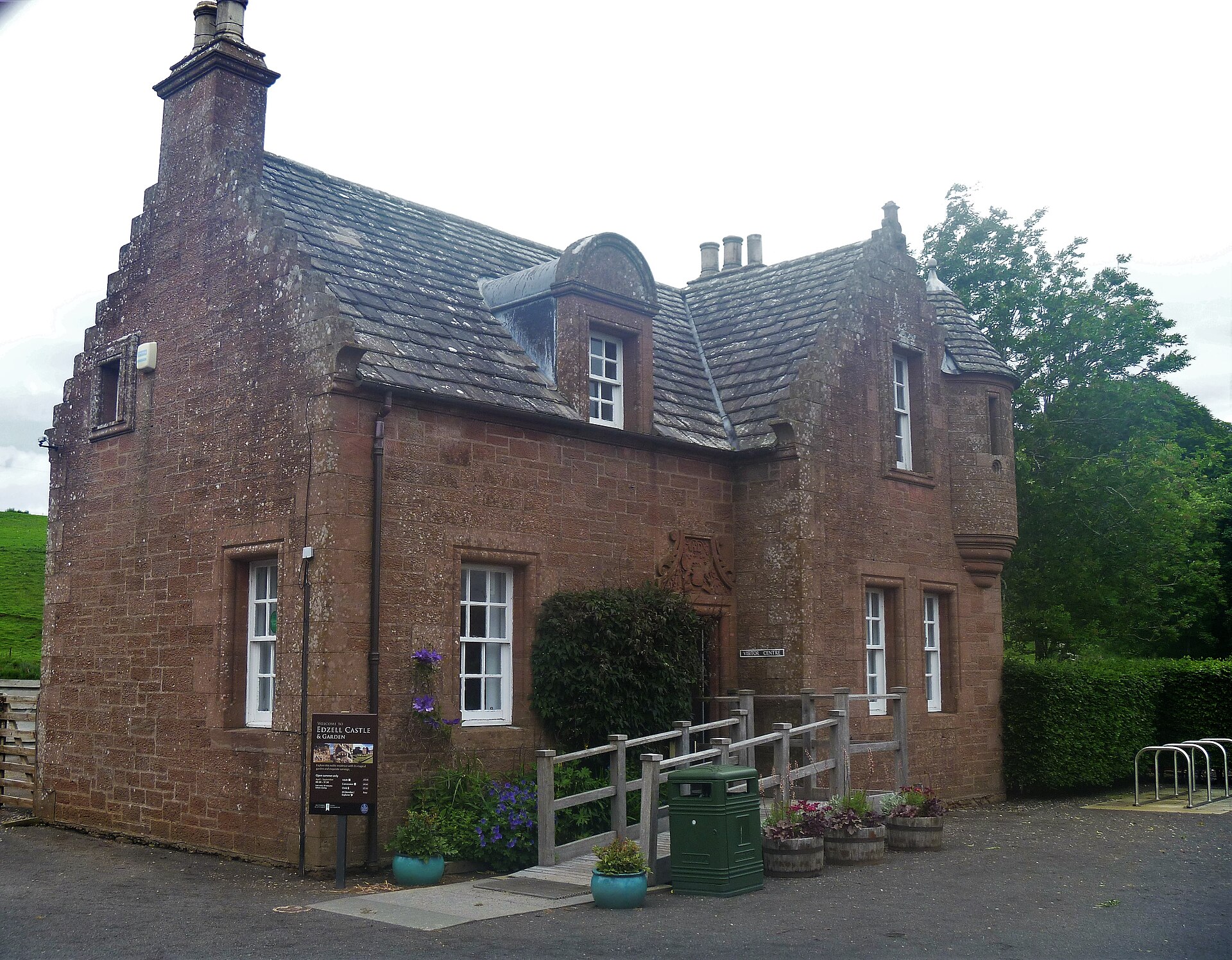
Edzell Castle and Garden
Angus
Its walled garden is carved with the only known Scottish set of relief panels depicting planetary deities and the liberal arts, a Renaissance survi…
- Easy path
Minor monument · Medieval
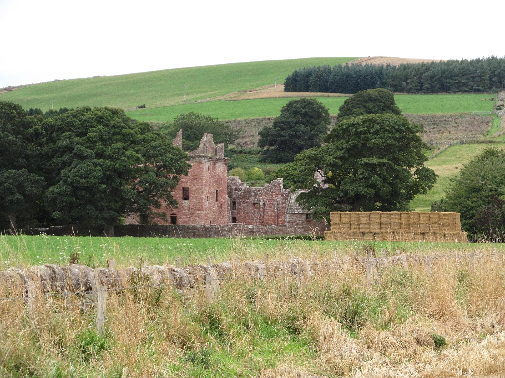
Dovecot, Mains Of Edzell
Angus
Edzell’s square pigeon house, with diagonally opposed turrets and a later ruined extension, makes the working architecture and changing needs of th…
- Near Edzell
Building or ruin · Medieval
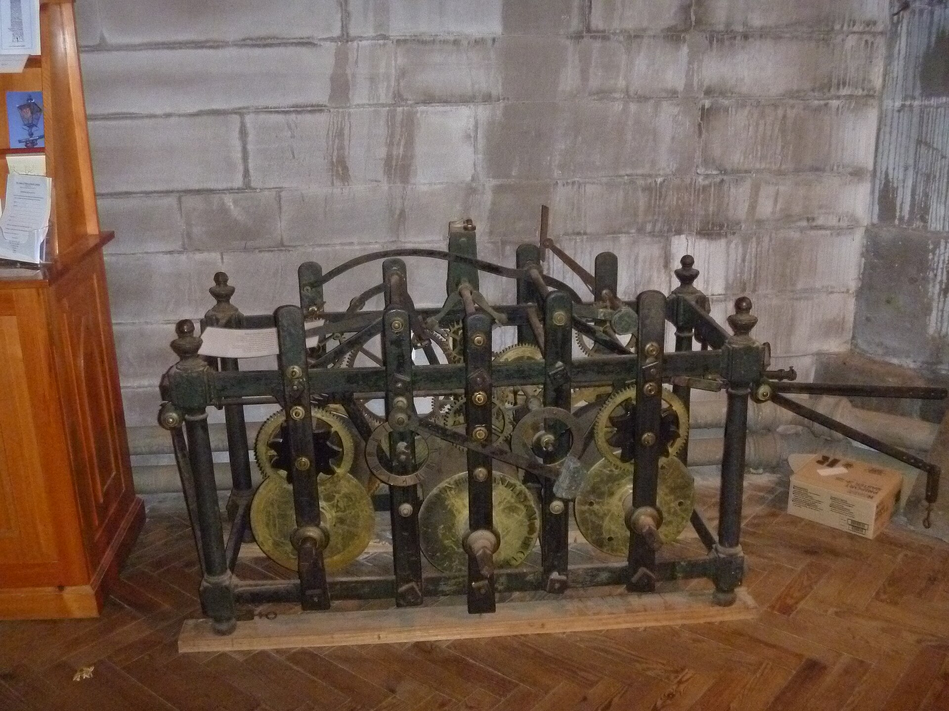
Brechin Cathedral
Angus
A near-millennium-old round tower and an intricately carved Viking-age hogback stand beside a Gothic cathedral, forming one of Scotland's most comp…
- Near Brechin
Questions people ask
- Where is Caterthun and what is it?
- Caterthun is a ridge of hills near Brechin in Angus, Scotland, home to two Iron Age hillforts, the White Caterthun and the Brown Caterthun, both protected as a single scheduled monument.
- Why is the White Caterthun called "white"?
- Its name comes from the massive dry-stone wall encircling the summit, built of pale, light-coloured stone that gives the fort its distinctive appearance.
- Why is the Brown Caterthun called "brown"?
- It is ringed by earthen embankments rather than stone; the name may come from the colour of that earth, or from the old British word for hill, bron or bryn.
- How old are the Caterthun hillforts?
- Radiocarbon dating shows the Brown Caterthun was built and altered over several centuries in the later first millennium BC; the White Caterthun's stone wall is thought to date to the early centuries AD.
- What was the purpose of the Brown Caterthun's earthworks?
- It remains uncertain. Little evidence of settlement, farming, or a water supply survives, so whether it served a defensive, ceremonial, or other role is still unresolved.
Sources
- Wikipedia: Caterthun
- Wikidata: Caterthun
- Electric Scotland — Caterthuns
Explore more: Fortified places · Iron Age · Angus
The Ancient Codex, in your pocket
Get the Pocket Codex app
Carry the directory with you — Caterthun and thousands of ancient places across Britain and Ireland, offline, wherever you roam.