
Drone and lidar surveys count as many as 800 huts inside its outer rampart — evidence, researchers say, for the largest known settlement in early-medieval Britain.
Walk close to the summit rampart at Tap o’ Noth and the stone looks wrong — fused, glassy, and streaked with the ropey texture of rock that has been through fire hot enough to melt it. That is vitrification: whoever built this wall packed its stone core with timber and, deliberately or in the fort’s destruction, set it alight until parts of the structure fused into a solid, glass-like mass. Centuries of weather have not undone it, and the wall remains one of the best-preserved examples of its kind in Scotland.
The vitrified enclosure crowns the summit of a hill that is the second-highest hillfort site in the country, its wall tracing a rough oval some 100 metres by 30 metres — a compact, defensible stronghold rather than a settlement in its own right. A much bigger picture surrounds it: a second, outer rampart, built in the fifth or sixth century AD, rings a far larger area of around seven hectares, turning the summit fort into the citadel of a settlement that spread across the whole hillside.
Drone photography and lidar scanning of that outer enclosure have picked out the footprint of what may have been as many as 800 individual huts, many clustered in groups around a larger central structure. Some archaeologists have described the result as the largest known settlement anywhere in early-medieval, post-Roman Britain, occupied at a time when, in the valley below, a carved Pictish stone known as Rhynie Man and imported wine and glass point to a place of unusual wealth and status.
What follows is drawn from published sources, with each claim labelled by how firmly it is established.
History
Long before any rampart crowned the hill, people were already using its slopes: a stone axe head recovered from the site has been dated to somewhere between around 2000 BC and 800 BC, placing activity on Tap o' Noth in the Bronze Age, many centuries before the vitrified fort was ever built. A decorated bronze rein-ring, used to guide a harness on a horse-drawn vehicle, was left at the site sometime in the first to third centuries AD, and archaeologists think large-scale settlement on the hill may reach back as far as the third century, the period when Pictish culture was taking shape across the region.
In the fifth or sixth century AD a second rampart was raised around the vitrified summit fort, enclosing a far larger area of some seven hectares and transforming the hilltop from a single defended enclosure into the fortified core of a sprawling settlement that spread down the surrounding slopes. In the valley below, a post-Roman settlement grew up in the shadow of the fort, its excavated remains yielding fragments of glass vessels from western France and traces of wine drunk from the Mediterranean alongside evidence of intensive metalworking, signs that archaeologists read as a community with real wealth and possibly royal connections.
In the 1880s the antiquarian James Macdonald led an archaeological excavation of the vitrified fort on the summit, one of the earliest systematic investigations of the site and, for over a century afterwards, the main source of what was known about its structure, its stonework, and how the rampart had been built. Between 2017 and 2022 the University of Aberdeen's Northern Picts: Rhynie Environs Project returned to the hill, excavating the summit fort, the rampart of the larger outer fort, and several of the Pictish-period house platforms found within it, adding modern scientific dating to Macdonald's nineteenth-century work.
Drone photography and lidar surveys of the wider enclosure later revealed traces of as many as 800 individual huts, many arranged in groups around a larger central structure, evidence that has led some archaeologists to describe Tap o' Noth as the largest known settlement in early-medieval, post-Roman Britain.
People
-
James Macdonald
Antiquarian who led an archaeological excavation of the vitrified summit fort in the 1880s.
-
Gordon Noble
Editor of "Rhynie: A Powerful Place of Pictland," the Society of Antiquaries of Scotland volume drawing on excavation of the fort and its surrounding landscape.
Cultural influences
-
Pictish fortified settlements
Tap o’ Noth is part of the early-medieval Pictish landscape around Rhynie, where fortified hilltops, lower settlements and metalworking formed a connected regional centre.
Connections
-
Rhynie Man
The carved Pictish standing stone was found on Barflat farm in the valley below the fort, near a post-Roman settlement broadly contemporary with Tap o' Noth's outer rampart.
-
Barflat farm settlement
The excavated valley settlement near the fort produced imported Mediterranean wine and French glass, evidence read alongside Tap o' Noth as part of a high-status Pictish-era landscape.
-
Northern Picts: Rhynie Environs Project (University of Aberdeen)
This 2017–2022 project excavated Tap o' Noth's summit fort and outer rampart as part of its wider study of the Rhynie area's Pictish-period archaeology.
-
Society of Antiquaries of Scotland
Published "Rhynie: A Powerful Place of Pictland," the volume drawing together research on the fort and its surrounding landscape.
Discovery & excavation
The stone axe head and the decorated bronze rein-ring were both recovered during archaeological investigation of the hill, and together they anchor the site's long span of use, from Bronze Age activity through to the Pictish period, when the rein-ring was in use.
In culture
-
Rhynie: A Powerful Place of Pictland
Edited by Gordon Noble for the Society of Antiquaries of Scotland, this volume draws together research on Tap o' Noth and the wider Rhynie landscape, including the fort's excavation history.
What to look for
-
The vitrified rampart
The summit enclosure's wall shows patches of fused, glass-like stone, evidence that the original stone-and-timber rampart was burned at extreme heat, either deliberately or when the fort was destroyed.
-
The outer rampart and hut platforms
A second, much larger rampart rings the hillside below the summit, enclosing around seven hectares within which lidar surveys have picked out the low, terraced footprints of what may be hundreds of individual house platforms.
-
The hilltop position
As the second-highest hillfort site in Scotland, the summit gives commanding views over the surrounding Aberdeenshire countryside, including the valley where the Rhynie Man stone and a high-status post-Roman settlement were found.
Plan your visit
- Location
- 57.3513°N · 2.8583°W
- Nearest settlement
- Rhynie
- Access
- Open access
- Terrain
- Rough ground — reasonable boots advised
- Time needed
- About 90 minutes
- What survives
- Vitrified hillfort remains and hut platforms survive on the summit and wider enclosure.
- Start point
- Tap o' Noth trailhead car park (near Rhynie/Scurdargue) — Park at the trailhead car park on the minor road north-west of Rhynie. From here it is a steep uphill walk to the hillfort on the summit of Tap o' Noth (~320m climb); the 977m figure is straight-line to the summit, the walked route is longer and strenuous. Allow around 1.5-2 hours return.
Opening & admission
No admission charge is recorded; access is on foot to open hill ground, so check local access notes before visiting.
- Hilltop site reached by a climb up open hill ground
- Second-highest fort in Scotland, so the ascent is a significant walk
Nearby places
Sacred place · Prehistoric
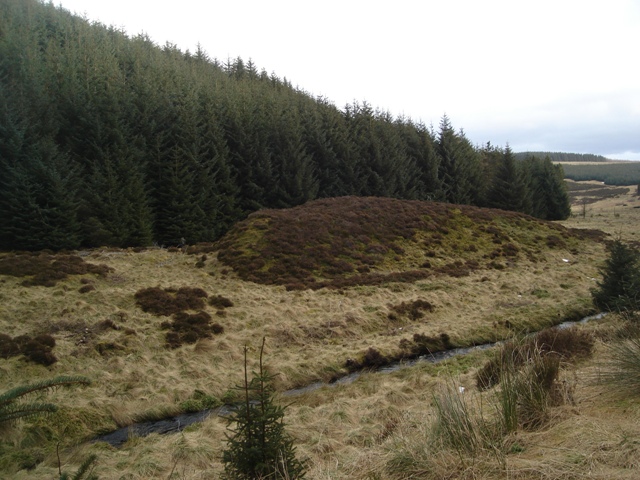
Wormy Hillock Henge
Aberdeenshire
An 1891 dig aimed at a supposed sheep enclosure found nothing at all: evidence that this mini-henge, a small circular enclosure from before written…
- Rough ground
Carved stone · Pictish & early medieval
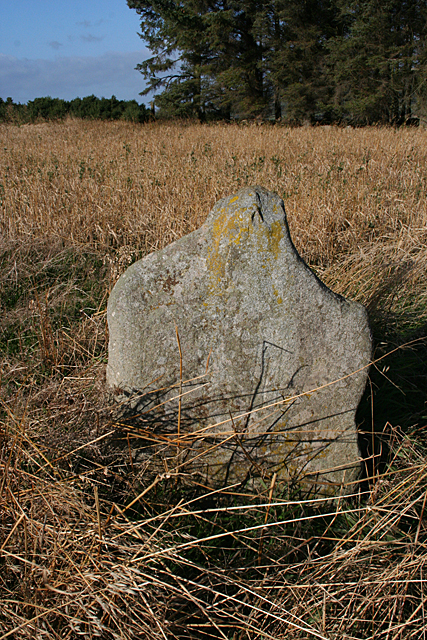
Ardlair Stone
Aberdeenshire
Carved with the Pictish beast, a tuning fork and a mirror, the stone ties this quiet Aberdeenshire field into the still-unresolved symbol tradition…
- Near Kennethmont
- Easy path
Sacred place · Prehistoric
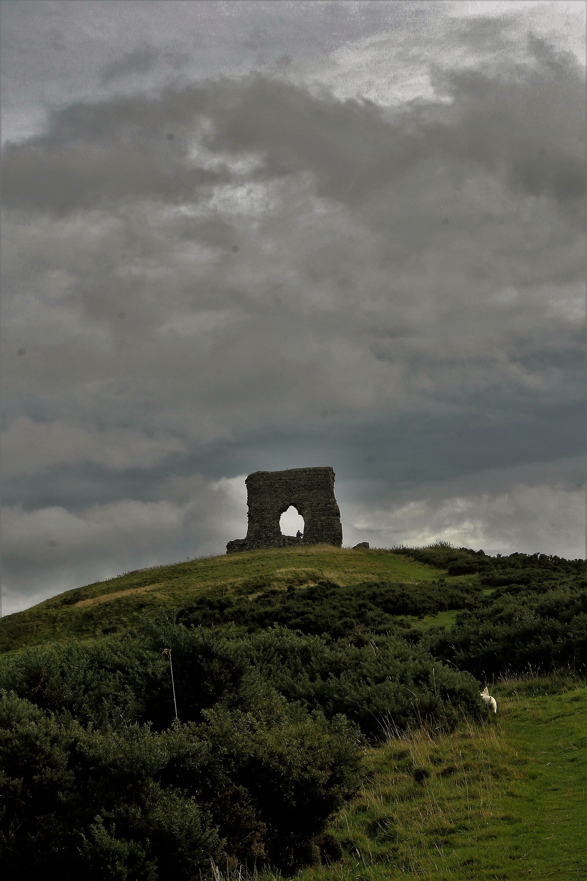
Dunnideer stone circle
Aberdeenshire
One of more than seventy recumbent stone circles once raised across lowland Aberdeenshire, its three surviving stones stand at the foot of a hillto…
- Near Insch
- Some walking
Fortified place · Medieval
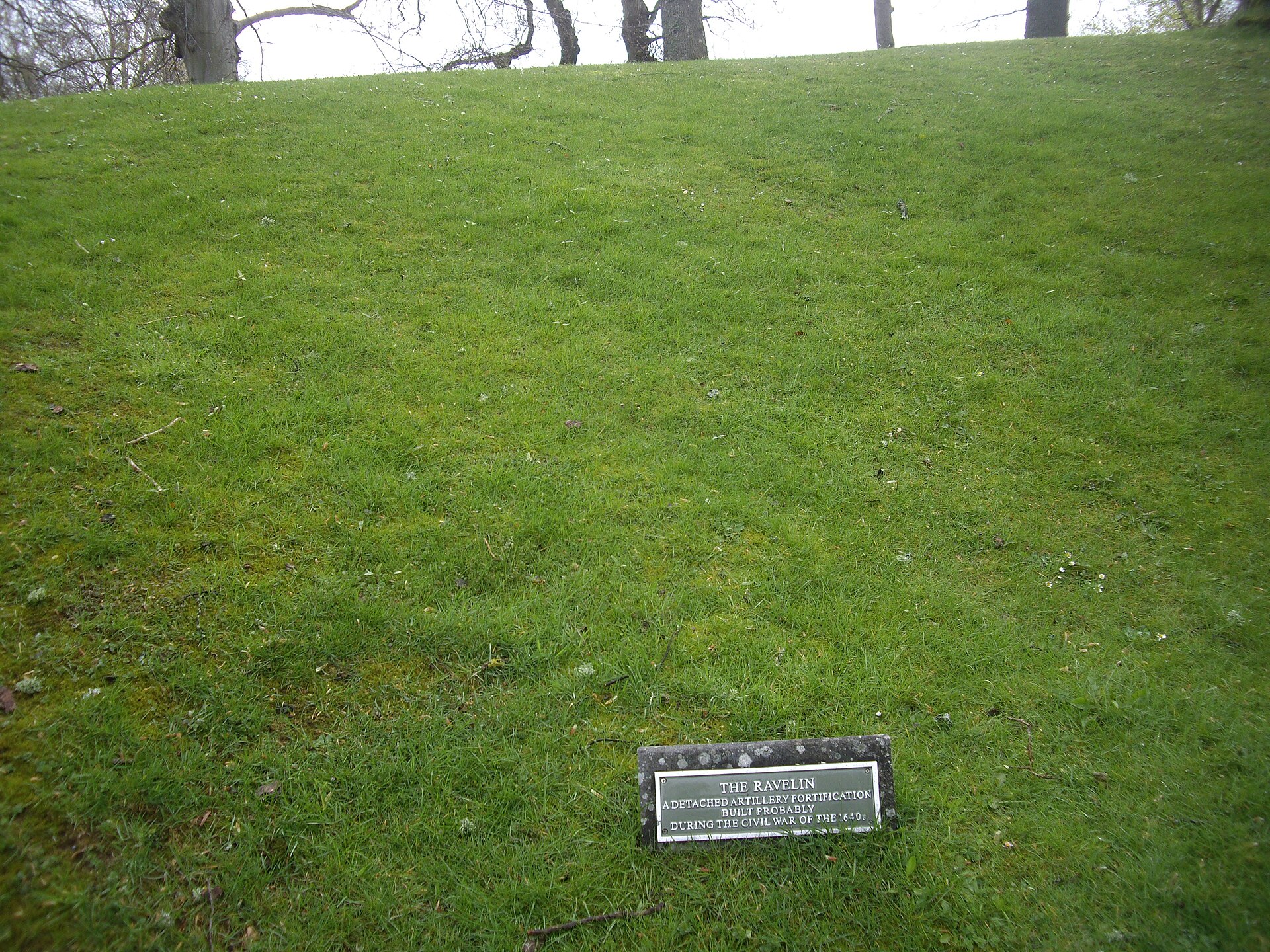
Huntly Castle
Aberdeenshire
Four successive castles rose on this one riverside site, each rebuilt by the Gordons after fire, siege or royal demolition: a single ruin holding f…
- Easy path
Questions people ask
- What makes the wall at Tap o' Noth unusual?
- Its rampart was subjected to such intense heat that sections of stone fused into a solid, glass-like mass, a process called vitrification, leaving one of Scotland's best-preserved examples of the phenomenon.
- How big was the settlement around the fort?
- Lidar and drone surveys of the outer rampart, which encloses about seven hectares, revealed traces of as many as 800 huts, suggested to be the largest known early-medieval settlement in Britain.
- Who excavated Tap o' Noth?
- Antiquarian James Macdonald excavated the summit fort in the 1880s; the University of Aberdeen's Northern Picts: Rhynie Environs Project returned between 2017 and 2022 with modern survey techniques.
- What has been found at the site?
- Finds include a stone axe head dated to roughly 2000 to 800 BC and a decorated bronze rein-ring from the first to third centuries AD, spanning the Bronze Age to the Pictish period.
- Is Tap o' Noth connected to the Rhynie Man stone?
- Yes. The carved Pictish stone known as Rhynie Man was found in the valley below the fort, near a high-status post-Roman settlement broadly contemporary with the site's outer rampart.
Sources
- Wikipedia: Tap o' Noth
- Aberdeenshire Council — Tap O'Noth Promontory Fort
- National Monuments Record of Scotland — Tap O'Noth
- Noble, Gordon (ed.), Rhynie: A Powerful Place of Pictland, Society of Antiquaries of Scotland
- Wikidata: Tap o' Noth
Explore more: Fortified places · Iron Age · Aberdeenshire
The Ancient Codex, in your pocket
Get the Pocket Codex app
Carry the directory with you — Tap o' Noth and thousands of ancient places across Britain and Ireland, offline, wherever you roam.