
On a low rise in the parish of Nesting in north-east Whalsay, two burial monuments stand roughly 140 metres north-west of the settlement mound at Benie Hoose.
On a low rise in the parish of Nesting in north-east Whalsay, two burial monuments stand roughly 140 metres north-west of the settlement mound at Benie Hoose. The larger southern monument is close to six metres square, with upright stones, coursed masonry and an entrance passage leading to a circular chamber. Four metres north lies a smaller round structure, 4.5 metres in diameter, built around a rectangular stone-lined grave.
The two monuments differ markedly in form despite standing side by side. The southern cairn’s chamber is heel-shaped, distinct in plan from three other Shetland cairns known for comparison, and its passage narrows and widens between a pair of standing boulders before opening into the burial space. The northern cairn, by contrast, is a simple circular structure that appears to have been enclosed by an outer ring wall roughly 4.6 metres across, traces of which survive in the boulder setting around the cist.
Both cairns were investigated by archaeologists in the twentieth century, work that recovered fragments of pottery and evidence that the smaller cairn’s cist had been disturbed at some point before excavation. The finds were too fragmentary for the pottery to be identified further, but the surviving stonework — paved chamber floors, rubble cist lining, and the jamb stones marking the transition from passage to chamber — preserves the layout of both tombs in some detail.
What follows is drawn from published sources, with each claim labelled by how firmly it is established.
History
The two cairns at Pettigarths Field were raised on rising ground northwest of Benie Hoose during Shetland's Neolithic, part of a wider cluster of prehistoric burial and settlement remains on Whalsay. The site was first brought to archaeological attention in 1936, with a further exploration following in 1938. On the basis of these early investigations, the cairns were inferred to be tombs dating to the Late Stone Age and Early Bronze Age.
In 1963 the site was excavated by C. S. T. Calder, whose work exposed the internal layout of both cairns. In the larger, southern cairn this revealed a paved chamber and passage, with the passage entered between two standing boulders and expanding toward stones set at its inner end; the jambs marking this transition were described as forming the "terminal and lateral recesses of the trefoil." Fragments of pottery were recovered from the chamber, though their poor condition prevented closer identification. The smaller, circular cairn was excavated down to its foundations, uncovering a trapezoidal slab-built cist about 4 feet (1.2 metres) long with a paved bottom and a partly surviving rubble stone lining. A slab covering found within the cavity, together with the state of the cist, suggested that grave robbers had attempted to break into the tomb's interior at some point before the excavation.
The site was visited again on 30 May 1968 by the Ordnance Survey (recorded under the initials NKB), confirming and recording the cairns' condition and layout.
People
-
C. S. T. Calder
Archaeologist who excavated the Pettigarths Field Cairns in 1963, exposing the layout of both the passage-chambered south cairn and the cist-built round cairn.
Connections
-
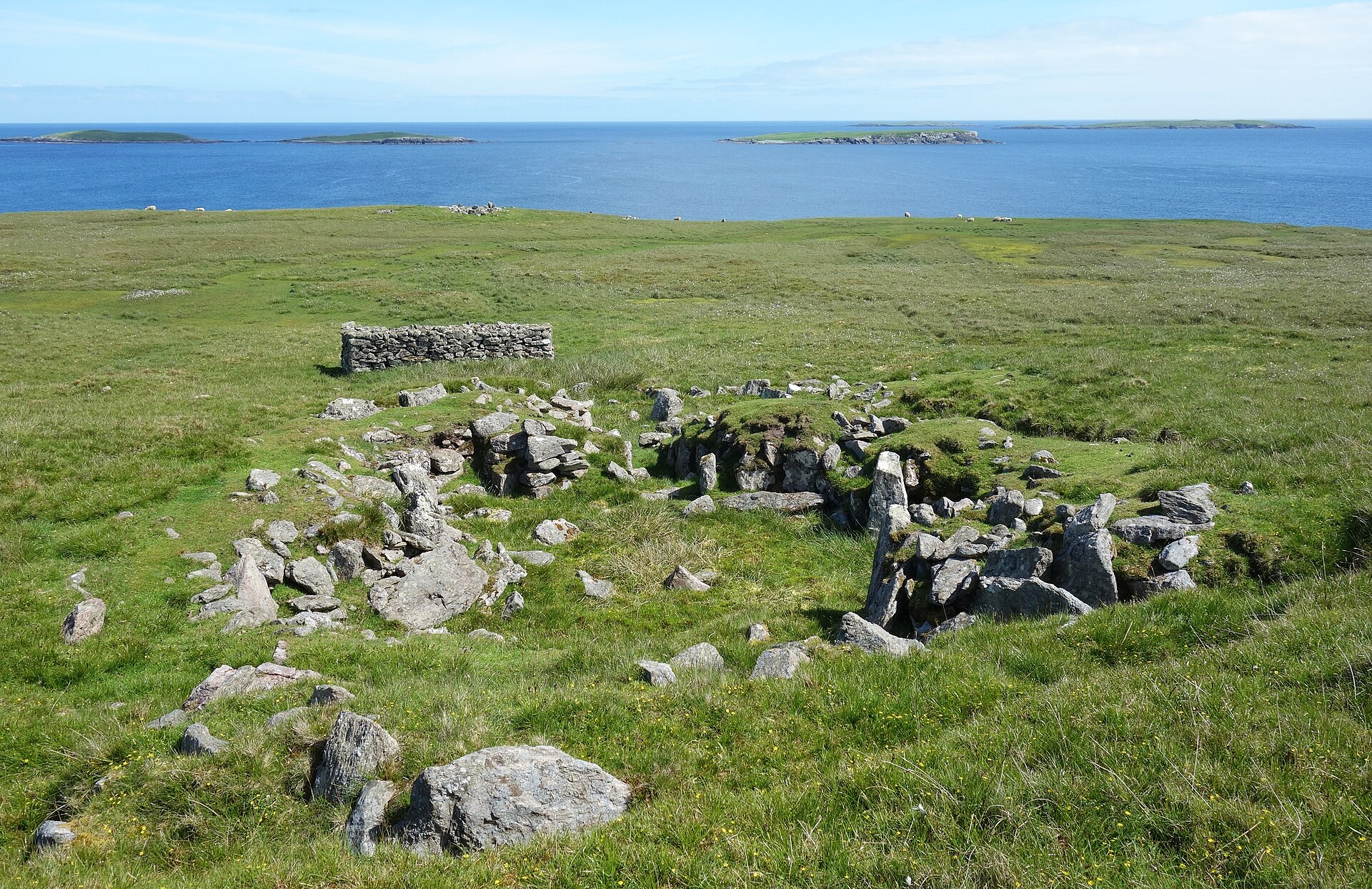
Photo: Des Blenkinsopp / Wikimedia Commons / CC BY-SA 2.0 A prehistoric settlement site on Whalsay lying approximately 140 metres southeast of the Pettigarths Field Cairns.
Discovery & excavation
The cairns were first noted archaeologically in 1936, with a further exploration in 1938 leading to their identification as Late Stone Age and Early Bronze Age tombs. The formal excavation followed in 1963, carried out by C. S. T. Calder. In the south cairn, Calder's work uncovered a paved passage and chamber, with the passage's jamb stones described as forming the "terminal and lateral recesses of the trefoil," along with fragmentary, unidentifiable pottery. The round cairn was excavated to its foundations, revealing a trapezoidal slab-built cist with a paved floor and partly surviving rubble lining, and a slab found within the cist's cavity suggesting earlier disturbance by grave robbers. The site was subsequently visited by the Ordnance Survey on 30 May 1968.
What to look for
-
The south cairn's passage and chamber
Roughly 6 metres square, the larger cairn has an eastern entrance passage leading between two standing boulders into a circular chamber about 2 metres across; the chamber's heel-shaped plan sets it apart from other Shetland cairns.
-
The trefoil jambs
Stonework at the inner end of the passage forms what excavators described as the terminal and lateral recesses of a trefoil, marking the transition from passage into chamber.
-
The round cairn and its cist
Four metres north of the main cairn, a smaller round cairn 4.5 metres in diameter contains a trapezoidal slab-built cist about 1.2 metres long, with a paved bottom and a partly surviving rubble stone lining.
-
Traces of an outer enclosure wall
A boulder setting roughly 4.6 metres in diameter around the round cairn is thought to mark the remains of an outer circular enclosure wall that once surrounded the structure.
Plan your visit
- Location
- 60.3675°N · 0.9412°W
- Access
- Open access
- Terrain
- Easy going
- Time needed
- About 45 minutes
Nearby places
Ancient place · Prehistoric
Benie Hoose
Shetland Islands
Benie Hoose lies in Nesting parish, towards the north-east of Whalsay, laid out in the unusual form of a figure of eight rather than the single rou…
- Easy path

Settlement · Prehistoric
Standing Stones of Yoxie
Shetland Islands
Roughly a hundred yards southeast of Benie Hoose, close to the cliff edge at Yoxie Geo on Whalsay's northeastern coast, a partly ruined Neolithic (…
- Easy path
Carved stone · Pictish & early medieval
Lunnasting stone
Shetland Islands
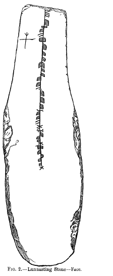
The Lunnasting stone is a slab of slate, 44 inches (1.1 m) long, about 13 inches (0.33 m) wide and just an inch (2.5 cm) thick, carrying an ogham i…
- Easy path

Fortified place · Iron Age
Broch of Cullingsburgh
Shetland Islands
Very little survives above ground of the broch (a tall circular tower of unmortared stone, found only in Scotland) that once stood on a shoulder of…
- Some walking
The setting
Near Pettigarths Field Cairns, about 76 metres away.
Photo: Des Blenkinsopp / Wikimedia Commons / CC BY-SA 2.0
Near Pettigarths Field Cairns, about 150 metres away.
Photo: Des Blenkinsopp / Wikimedia Commons / CC BY-SA 2.0
Questions people ask
- Where are the Pettigarths Field Cairns located?
- The cairns stand in the parish of Nesting, in northeastern Whalsay in Shetland, on a rise approximately 140 metres northwest of the prehistoric settlement site of Benie Hoose.
- How many cairns make up the site, and how do they differ?
- There are two cairns four metres apart. The larger, southern cairn is about 6 metres square with an eastern passage and a heel-shaped circular chamber roughly 2 metres across. The smaller, northern cairn is round, 4.5 metres in diameter, and built around a rectangular slab cist rather than a chambered passage.
- When were the cairns excavated?
- They were first explored in 1936 and 1938, when they were inferred to be Late Stone Age and Early Bronze Age tombs, then formally excavated in 1963 by C. S. T. Calder. The Ordnance Survey visited the site again on 30 May 1968.
- What did the excavation find inside the cairns?
- Calder's 1963 excavation found a paved chamber and passage in the south cairn, with fragmentary pottery too poorly preserved to identify. The round cairn's cist, a trapezoidal slab-built structure with a paved floor and partial rubble lining, showed signs that grave robbers had attempted to break into it at some earlier date.
- Is there evidence of a wall enclosing the round cairn?
- A boulder setting around the cist, about 4.6 metres (15 feet) in diameter, is interpreted as the remains of an outer circular enclosure wall that once surrounded the smaller cairn.
Sources
The Ancient Codex, in your pocket
Get the Pocket Codex app
Carry the directory with you — Pettigarths Field Cairns and thousands of ancient places across Britain and Ireland, offline, wherever you roam.