
Livestock have polished the lower half of this stone smooth by rubbing against it; a deep crevice runs from the middle to the top.
The bottom half of this stone has been rubbed smooth. Cattle have been scratching themselves against it for long enough to polish the surface, which is a form of wear entirely distinct from what has happened higher up — there the stone is severely weathered, with a deep crevice running from the middle to the top.
It was raised in the second millennium BC, in the Late Neolithic or Early Bronze Age, and stands 3.5 metres high by about 1.5 wide, tapering towards the top and averaging 0.4 metres thick. It leans a little to the north-north-west. That is also the direction of its long axis, which was set deliberately on a north-north-west to south-south-east line.
The stone did not come from this field. It was brought from higher ground nearby, which means someone chose this low position on purpose and moved several tonnes of rock to achieve it. Why is not recorded. It stands 274 metres from the western edge of the Loch of Boardhouse, in a field on private property beside the road, 1.5 kilometres south-east of Birsay village on the Orkney mainland.
Historic Environment Scotland made it a scheduled monument in 1937. It is also known locally as the Stane O’ Quoybune.
What follows is drawn from published sources, with each claim labelled by how firmly it is established.
History
The Wheebin Standing Stone, also called the Stane O' Quoybune, was erected in the second millennium BC, dating to the Late Neolithic or Early Bronze Age. Standing stones of this kind were typically put up in the later Neolithic period, around 2000 BC. The stone stands 3.5 metres high and about 1.5 metres wide, narrowing gradually towards the top, with an average thickness of 0.4 metres. It leans slightly towards the north-north-west, and was set with its major axis running north-north-west to south-south-east.
It was brought here from higher ground nearby rather than quarried on the spot, which means the placing in this particular field was a deliberate choice rather than a matter of convenience. The reason for the chosen axis is not recorded. The surface shows severe weathering, with one deep crevice running from the middle of the stone to the top. The lower half has been polished smooth by the constant rubbing of domestic animals over the years, so the visible condition of the stone records four thousand years of weather and a few centuries of cattle.
The monolith stands in a field on private property beside the road in the parish of Birsay, 1.5 kilometres south-east of the village, and 274 metres from the western edge of the Loch of Boardhouse. Historic Environment Scotland established the site as a scheduled monument in 1937.
Cultural influences
-
Neolithic standing-stone tradition
Wheebin’s deliberate setting and alignment in the Birsay landscape reflect the long prehistoric use of individual standing stones as marked places.
Connections
-

Photo: John Comloquoy / Wikimedia Commons / CC BY-SA 2.0 Loch of Boardhouse
The stone stands 274 metres from the loch's western edge, in the low ground east of Birsay.
What to look for
-
The polished lower half
Smoothed by generations of cattle rubbing against it, a wear pattern quite distinct from the weathering above.
-
The crevice
A deep split running from the middle of the stone to its top, the most conspicuous result of severe weathering.
-
The lean and the axis
The stone slopes slightly to the north-north-west and was set with its long axis on a north-north-west to south-south-east line.
Plan your visit
- Location
- 59.1159°N · 3.3059°W
- Time needed
- About 20 minutes
Nearby places
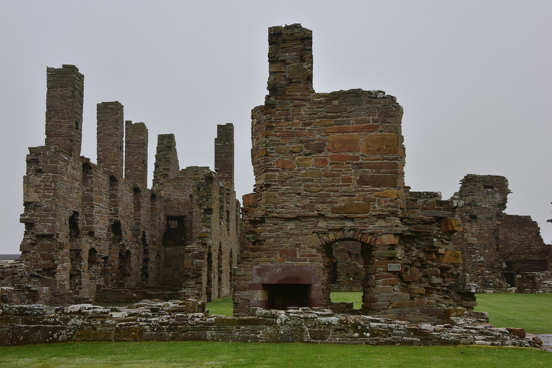
Building or ruin · Medieval
Earl's Palace, Birsay
Orkney Islands
Robert Stewart’s fortress-palace embodies the political ambition of James V’s illegitimate son, combining ceremonial halls with gun-holed defences…
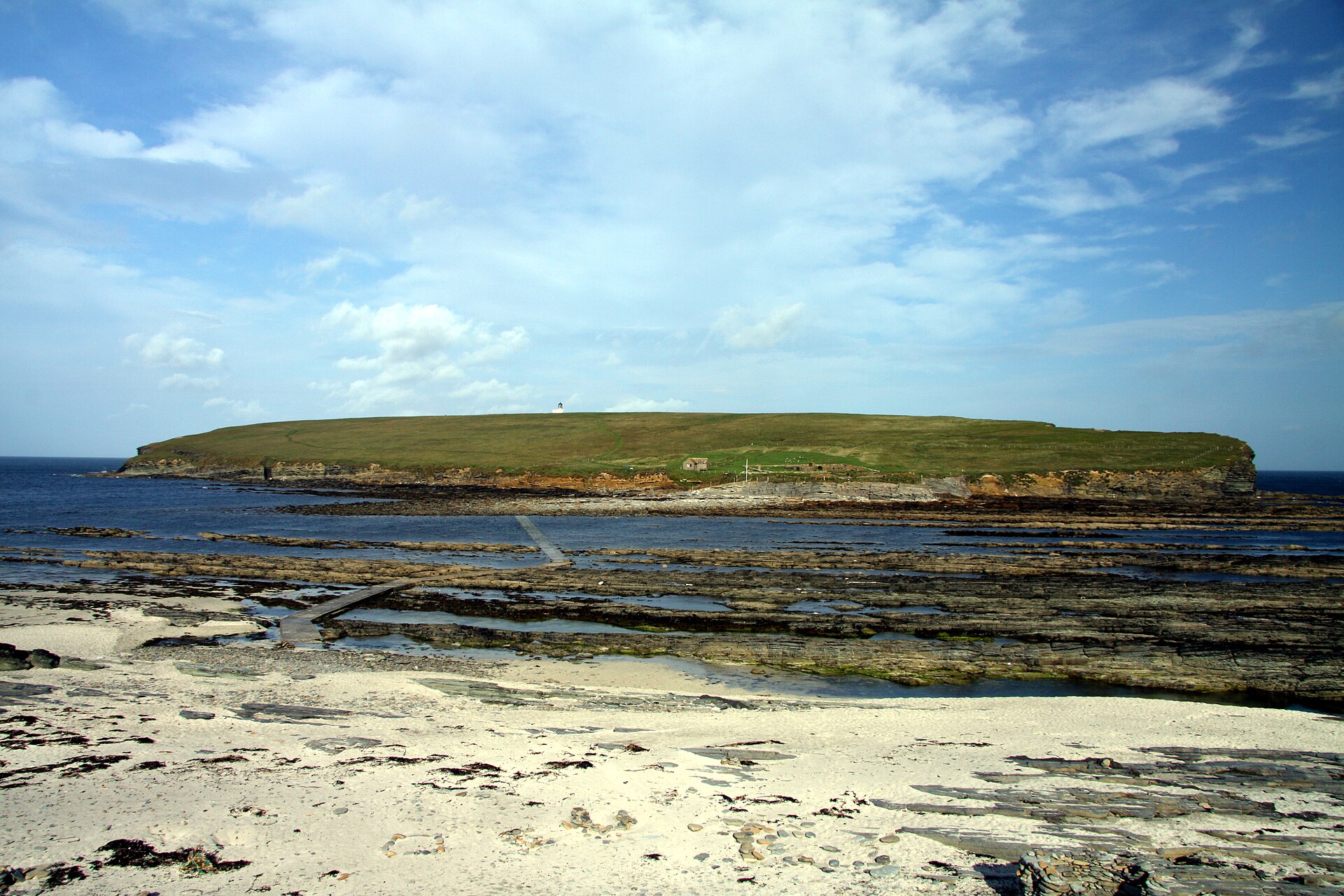
Settlement · Pictish & early medieval
Brough of Birsay
Orkney Islands
A tidal island where Pictish metalworkers: people of northern and eastern Scotland from about AD 300 to 900: Norse rulers and medieval pilgrims suc…
- Near Birsay
- 625 metres from car park
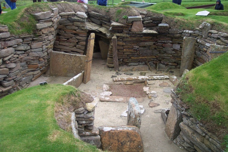
Settlement · Prehistoric
Skara Brae
Orkney Islands
Ten roofless stone houses survive at Skara Brae with their built-in furniture still in place: hearths, dressers and box-beds. Occupied for roughly…
- Near Stromness
- 5 min walk from car park
- Some walking

Fortified place · Iron Age
Broch of Borwick
Orkney Islands
The Broch of Borwick is a tall circular tower of unmortared stone, a type of building found only in Scotland, whose remains illuminate changing com…
- Rough ground
The setting
View from above Wheebin standing stone towards the Birsay Outdoor Centre; retained as a contextual view while the direct stone photograph below serves as the lead image.
Photo: Wayne Easton / Wikimedia Commons / CC BY-SA 2.0
Questions people ask
- How old is the Wheebin Standing Stone?
- It was erected in the second millennium BC, in the Late Neolithic or Early Bronze Age. Standing stones of this kind were typically raised around 2000 BC.
- How large is it?
- 3.5 metres high, about 1.5 metres wide, narrowing towards the top, with an average thickness of 0.4 metres.
- Can it be visited?
- It stands in a field on private property beside the road, 1.5 kilometres south-east of Birsay village.
- Is it protected?
- Yes. Historic Environment Scotland established the site as a scheduled monument in 1937.
Sources
- Wikipedia — Wheebin standing stone
- Historic Environment Scotland — scheduled monument, Wheebin standing stone, Birsay
Explore more: Sacred places · Prehistoric · orkney-islands
The Ancient Codex, in your pocket
Get the Pocket Codex app
Carry the directory with you — Wheebin standing stone and thousands of ancient places across Britain and Ireland, offline, wherever you roam.