
Three ditches and two ramparts, some of them cut directly into the rock, guard the only gentle approach to Tynron Doon. On its other three sides the ground falls away in steep slopes that made further defences unnecessary. The fort crowns a spur of Auchengibbert Hill at the southern end of the Scaur hills, rising to 289 metres, where the summit flattens into an oval plateau roughly 40 by 45 metres across.
Three ditches and two ramparts, some of them cut directly into the rock, guard the only gentle approach to Tynron Doon. On its other three sides the ground falls away in steep slopes that made further defences unnecessary. The fort crowns a spur of Auchengibbert Hill at the southern end of the Scaur hills, rising to 289 metres, where the summit flattens into an oval plateau roughly 40 by 45 metres across.
The earthworks belong to a multivallate hill fort of the Iron Age, but the site was returned to again and again. It was occupied on and off from the 1st millennium BC through to the 16th century, by which point an L-shaped tower house stood inside the old enclosure. The plan visible on the ground today is thought to differ little from the fort’s original layout.
What survives is therefore a layering of uses across more than two thousand years: a prehistoric stronghold, a medieval beacon station, a late tower house, and finally a shepherd’s bothy, each generation reworking the same defensible ground above the village of Tynron.
What follows is drawn from published sources, with each claim labelled by how firmly it is established.
History
The earliest phase is a multivallate hill fort of the Iron Age, built through the 1st millennium BC. Its makers chose a natural stronghold: a summit plateau defended on the north, south and east by steep slopes, with only the western approach needing artificial defences. There they cut three ditches and raised two ramparts, some of the ditches quarried straight out of the rock.
Occupation was not continuous but recurring, the site being used on and off across the centuries that followed the Iron Age. The plan of the defences seen in the modern remains is thought to match closely the layout of the original fort, suggesting later occupants worked within the earthworks they inherited rather than remaking them. By the 15th century the hill had taken on a role in a wider warning system. Its summit held one of nine beacons maintained by the Sheriffs of Nithsdale and Annandale, part of a chain that could be fired to raise the alarm across the region.
In the late medieval period, around the 16th century, an L-shaped tower house was raised in the north-west corner of the central area. Its floor plan measured roughly 20 by 42 feet, and a smaller extension to the north-west, about 8 by 10 feet, is thought to have housed a stair turret. The tower house is believed to have been pulled down between 1700 and 1750, its stone carried off to build Tynron Kirk, the parish church in the village below. Around the same time a barmkin wall may have been thrown up to enclose the summit.
The last structure on the hill is a hut circle of the 18th or 19th century, thought to have served as a shepherd's bothy, marking the final, humble chapter in the long occupation of the doon.
Cultural influences
-
Tynron Doon was shaped by its steep-sided spur at the end of the Scaur hills, with artificial ramparts and ditches protecting the western approach; it later formed part of a beacon network.
Connections
-
Tynron Kirk
The parish church in Tynron village, thought to have been built with stone taken from the demolished tower house on the doon between 1700 and 1750.
-
Auchengibbert Hill
The hill of which Tynron Doon occupies a spur, at the southern end of the Scaur hills.
Discovery & excavation
Finds from the site were recovered over more than four decades, and James Williams gathered the record of these together in his 1971 paper for the Transactions of the Dumfriesshire and Galloway Natural History and Antiquarian Society, subtitled a history of the site with notes on the finds of 1924 to 1967. The site is recorded in CANMORE, the National Record of the Historic Environment, under number 65300.
What to look for
-
The western defences
Three ditches and two ramparts across the western approach, the only side without natural protection; some of the ditches were cut into the rock.
-
The summit plateau
An oval level area roughly 40 by 45 metres, at 289 metres above sea level, defended on three sides by steep natural slopes.
-
The tower house footprint
The remains of the L-shaped tower house in the north-west corner of the central area, roughly 20 by 42 feet, with a small north-west extension thought to be a stair turret.
-
The barmkin wall
A fortification wall enclosing the summit, thought to have been added around the first half of the 18th century.
-
The shepherd's bothy
A hut circle of the 18th or 19th century, believed to have been used as a shepherd's bothy.
Plan your visit
- Location
- 55.2254°N · 3.8570°W
- Nearest settlement
- Newton Stewart
- Access
- Open access
- Terrain
- Moderate walking
- Time needed
- About 45 minutes
Nearby places
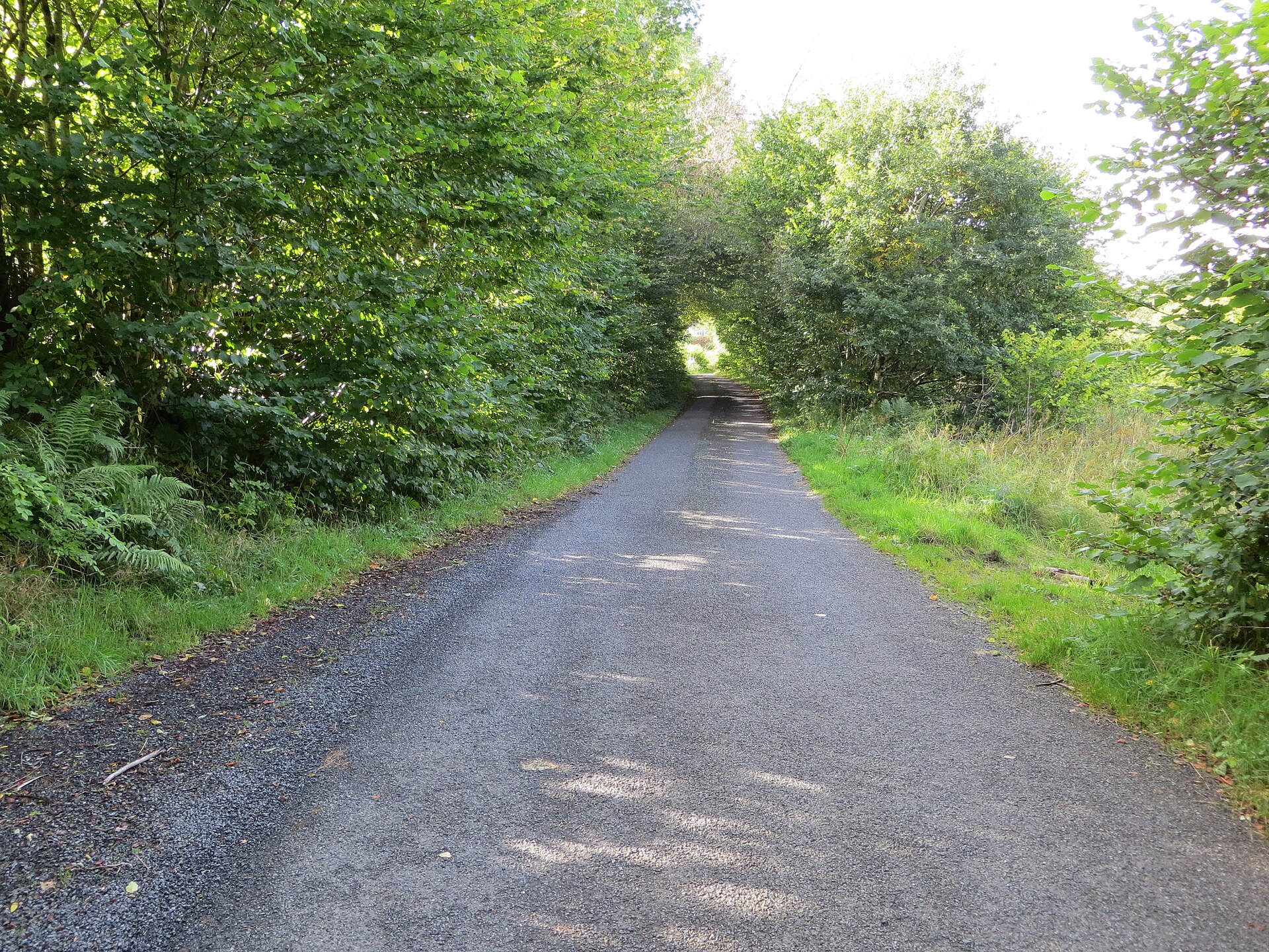
Fortified place · Iron Age
Grennan Hill
Dumfries and Galloway
Grennan Hill rises outside the village of Penpont in Dumfries and Galloway, and it carries on its summit the remains of an Iron Age (from about 800…
- Some walking
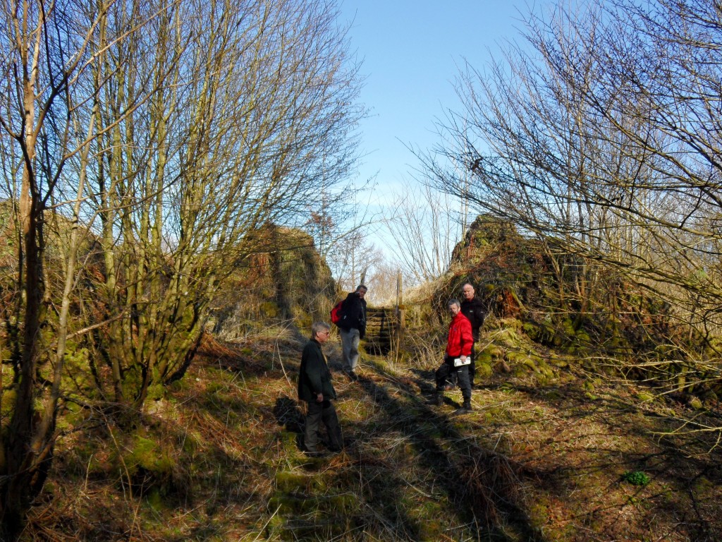
Fortified place · Medieval
Tibbers Castle
Dumfries and Galloway
Tibbers Castle preserves a rare Scottish example of a timber earthwork (banks and ditches raised from the earth rather than quarried stone) castle…
- Near Newton Stewart
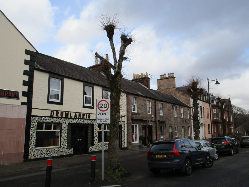
Minor monument · Medieval
Market Cross, Drumlanrig Street, Thornhill
Dumfries and Galloway
Thornhill’s 1714 Pegasus-topped cross was planned with the village road, making its column a surviving civic centre despite relocation and later re…
- Near Thornhill
- Easy path
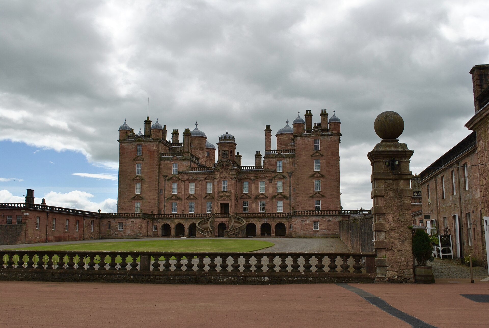
Building or ruin · Medieval
Drumlanrig Castle
Dumfries and Galloway
Drumlanrig Castle is a major late-seventeenth-century Scottish Renaissance house whose pink sandstone architecture, designed landscape, art collect…
Questions people ask
- What kind of site is Tynron Doon?
- It is a multivallate Iron Age hill fort, built on a spur of Auchengibbert Hill at the southern end of the Scaur hills, outside the village of Tynron in Dumfries and Galloway. It was occupied on and off from the 1st millennium BC until the 16th century.
- How was the fort defended?
- It sits in a natural defensive position, with steep slopes protecting the north, south and east sides. The gentler western approach was defended by three ditches and two ramparts, some of the ditches cut into rock.
- What was the tower house on the summit?
- Around the 16th century an L-shaped tower house was built in the north-west corner of the central area, with a floor plan of roughly 20 by 42 feet and a small extension thought to have held a stair. It is believed to have been demolished between 1700 and 1750.
- What happened to the tower house stone?
- The tower house is thought to have been taken down between 1700 and 1750 and its stone used to build Tynron Kirk, the parish church in the village. A barmkin wall enclosing the summit may date from around the same time.
- Was Tynron Doon used as a beacon?
- Yes. In the 15th century the hill held one of nine beacons maintained by the Sheriffs of Nithsdale and Annandale, part of a regional warning chain.
Sources
- Tynron Doon — Wikipedia
- Tynron Doon — Wikidata (Q7860572)
- Tynron Doon, CANMORE — National Record of the Historic Environment, no. 65300
- Tynron Doon — Archaeology Notes, CANMORE no. 728679
- Tynron Doon — Publication Account, CANMORE no. 1017429
- Williams, James (1971), "Tynron Doon, Dumfriesshire: A History of the Site with Notes on the Finds 1924-67", Transactions of the Dumfriesshire and Galloway Natural History and Antiquarian Society, 3, 48: 106–120
Explore more: Fortified places · Iron Age · Dumfries and Galloway
The Ancient Codex, in your pocket
Get the Pocket Codex app
Carry the directory with you — Tynron Doon and thousands of ancient places across Britain and Ireland, offline, wherever you roam.