
Tibbers Castle preserves a rare Scottish example of a timber earthwork (banks and ditches raised from the earth rather than quarried stone) castle rebuilt in stone during the Plantagenet occupation, with its layered baileys revealing a frontier stronghold and administrative centre.
Earthworks on a ridge above a ford of the River Nith mark the site of Tibbers Castle. Its motte (the great earth mound at the heart of an early castle), stone enclosure and multiple baileys commanded a crossing in Dumfries and Galloway, close to present-day Carronbridge.
The castle may have begun as a timber foundation in the 12th or 13th century. It first appears in records in 1298, when Sir Richard Siward either built or enhanced a stone enclosure; the site then changed hands amid the wars between the Scots and the English.
Although farming later reshaped the ridge and little masonry stands above ground, surveys and excavations have clarified the castle’s plan. They make Tibbers an especially useful place for reading how a medieval lordship was organised, defended and eventually abandoned.
What follows is drawn from published sources, with each claim labelled by how firmly it is established.
The name
The documented explanation derives Tibbers from the Gaelic toibar, meaning “a well”; an older tradition instead linked the name with the Roman emperor Tiberius.
History
Tibbers may have begun as a timber castle in the 12th or 13th century. Its first documentary record is from 1298, when Sir Richard Siward built or enhanced a stone enclosure; Edward I visited that year and £100 was spent on the garrisoned structure in 1302. The castle was caught in Robert the Bruce’s campaign of 1306. Scots captured the English-held site, the English soon retook it and hanged the defenders, and in 1313 Scottish forces regained the region; thereafter Tibbers remained in Scottish hands.
The castle became the centre of the barony of Tibbers under the Earls of Moray, then the Earls of March. After 1346 the administrative focus probably shifted to nearby Morton, and the estates eventually passed to the Crown after the Dunbar lands were confiscated in 1435. A township is recorded at Tibbers in 1451, but the date of the castle’s abandonment is uncertain. By the 18th century the ridge was under cultivation and stone was taken for reuse; archaeological work in 1864, 1912 and 2013–14 has since recovered and mapped evidence of the complex.
People
-
Richard Siward
Sheriff of Dumfries under English rule, associated with the stone remodelling recorded in 1298.
-

Portrait: S.A.Farabi / Wikimedia Commons / CC BY-SA 4.0 Robert the Bruce
Scottish king whose 1306 campaign captured Tibbers from English control, beginning a contested sequence of recapture before Scottish forces regained the region.
-

Portrait: Walter de Gray Birch / Wikimedia Commons / Public domain Thomas Randolph, 1st Earl of Moray
Earl of Moray whose successors held the barony of Tibbers after Scottish control returned, before the administrative focus shifted to nearby Morton.
Cultural influences
-
The conflict determined occupation, rebuilding and control of the castle in the early 14th century.
Connections
-

Photo: Doc Searls from Santa Barbara, USA / Wikimedia Commons / CC BY-SA 2.0 River Nith
The castle overlooks a ford across the river, explaining its strategic position.
-
.jpg?width=320)
Photo: Sébastien Pissard / Wikimedia Commons / CC BY-SA 4.0 Morton
Nearby baronial centre that probably superseded Tibbers in the later 14th century.
-
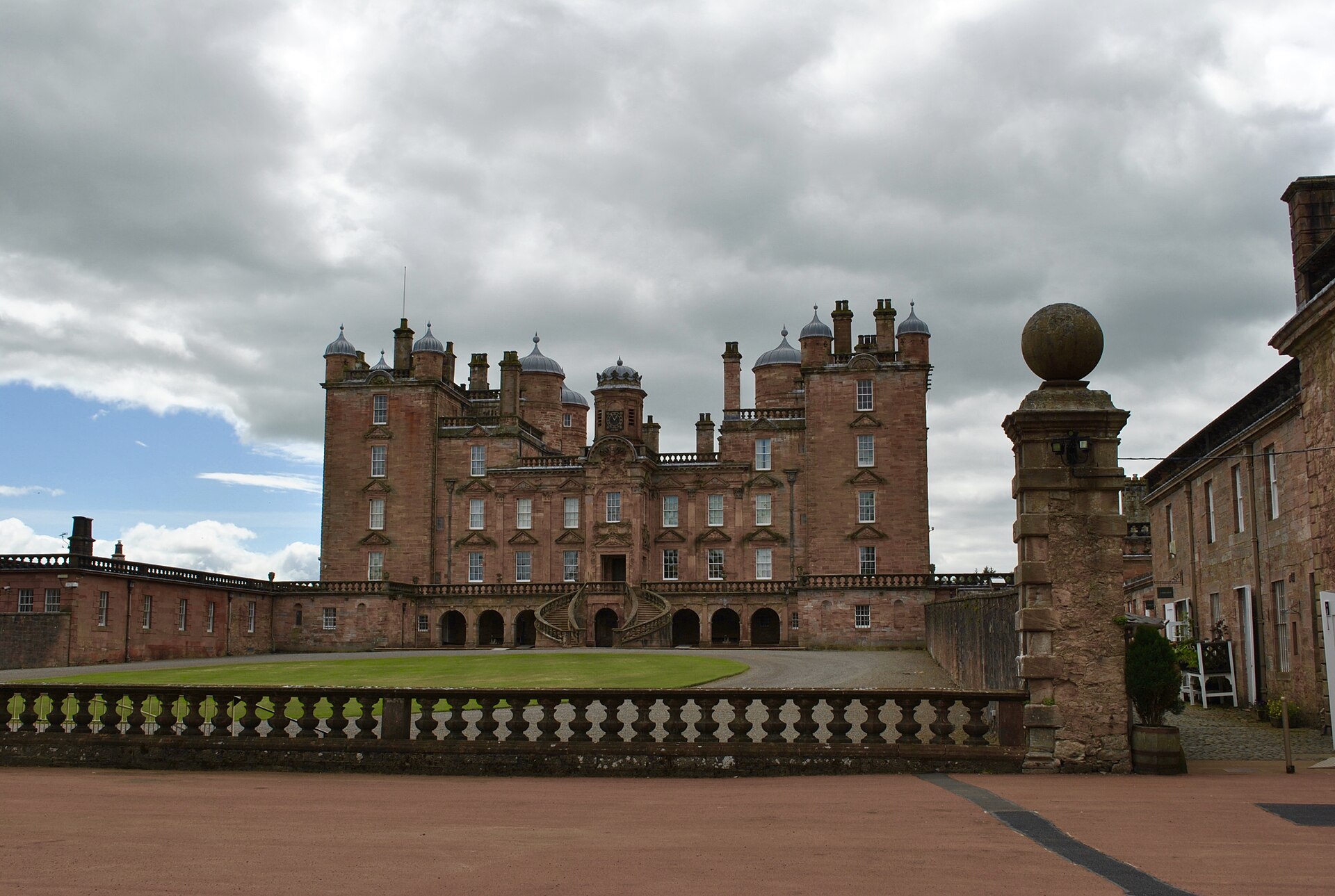
Photo: Fotis Constantinidis / Wikimedia Commons / CC BY-SA 4.0 A sixteenth-century country house north-west of the site, offering a later architectural contrast to Tibbers’s abandoned medieval baronial centre.
Discovery & excavation
Archaeological investigations in 1864, 1912 and 2013–14 recovered and mapped evidence for the motte, stone enclosure and wider medieval complex.
What to look for
-
Motte and stone enclosure
The four-sided motte supported a rectangular enclosure castle with corner towers, a notably rare survival of an earthwork castle rebuilt in stone.
-
Double baileys
The large enclosures south of the motte may have accommodated a market and show the scale of the medieval complex.
-
Ridge and ford
The elevated setting above the River Nith makes the strategic purpose of the castle easy to understand.
What is said
Folklore and tradition, recorded as what is said — not as established fact.
-
An older tradition held that Tibbers was a Roman fort and linked its name with the emperor Tiberius, but the documented explanation derives the name from the Gaelic ‘Toibar’, meaning a well.
Plan your visit
- Location
- 55.2642°N · 3.7922°W
- Nearest settlement
- Newton Stewart
- Time needed
- About 45 minutes
Nearby places
Building or ruin · Medieval
Drumlanrig Castle
Dumfries and Galloway
Drumlanrig Castle is a major late-seventeenth-century Scottish Renaissance house whose pink sandstone architecture, designed landscape, art collect…
Minor monument · Medieval
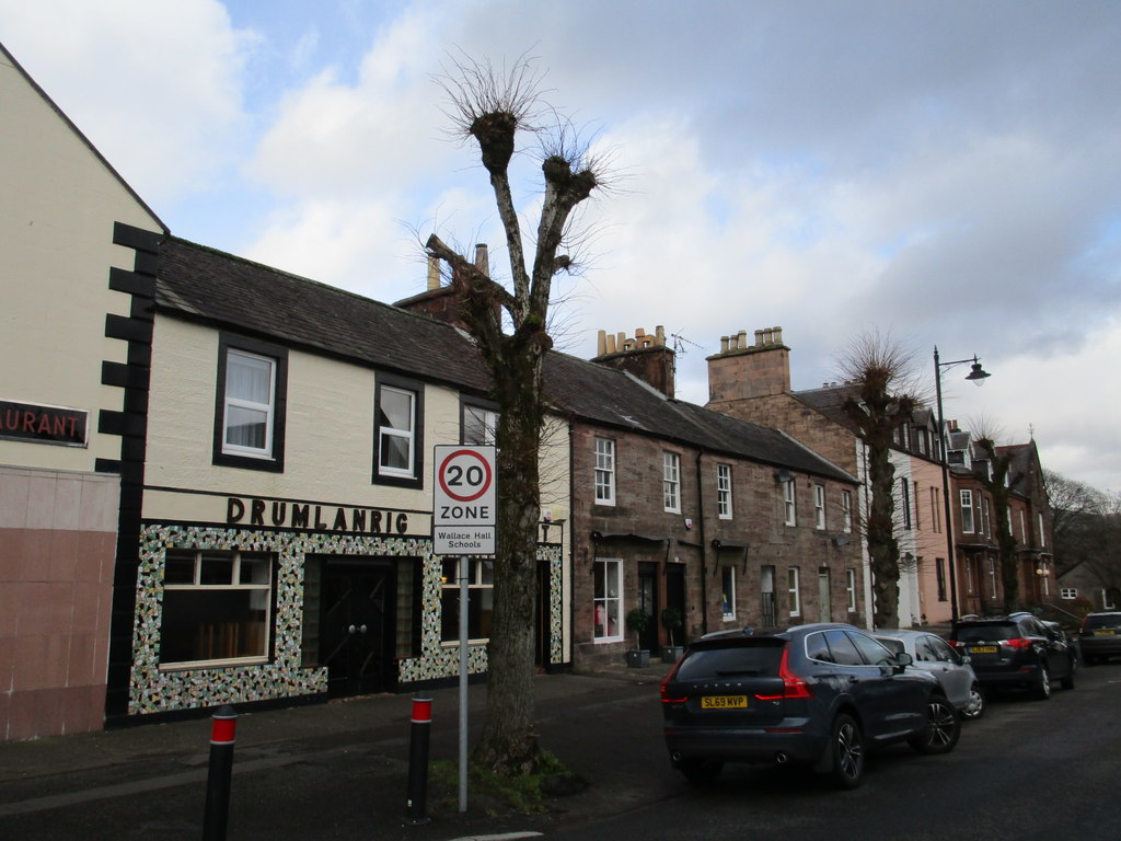
Market Cross, Drumlanrig Street, Thornhill
Dumfries and Galloway
Thornhill’s 1714 Pegasus-topped cross was planned with the village road, making its column a surviving civic centre despite relocation and later re…
- Near Thornhill
- Easy path
Fortified place · Medieval
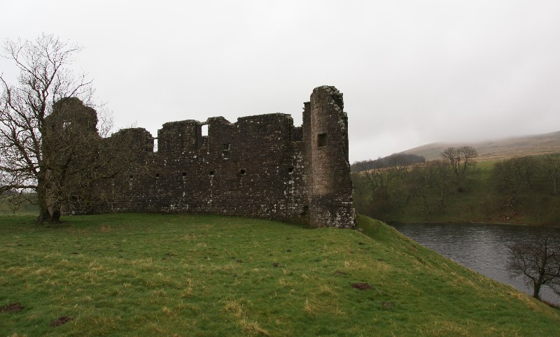
Morton Castle
Dumfries and Galloway
Morton combines a fortified Nith Valley promontory with the comforts of a later hunting lodge, now dramatically isolated by an eighteenth-century a…
Fortified place · Iron Age
Grennan Hill
Dumfries and Galloway
Grennan Hill rises outside the village of Penpont in Dumfries and Galloway, and it carries on its summit the remains of an Iron Age (from about 800…
- Some walking
Questions people ask
- When was Tibbers Castle built?
- Its timber predecessor may date to the 12th or 13th century. The castle is first recorded in 1298, when Sir Richard Siward built or upgraded a stone enclosure.
- Why was Tibbers Castle strategically important?
- It overlooked a ford across the River Nith and served as the administrative centre of the barony of Tibbers until that role probably moved to Morton in the later 14th century.
- What archaeological work has taken place at Tibbers?
- Excavation began in 1864 and the site was surveyed in 1912. Measured and geophysical surveys in 2013–14 mapped timber buildings, enclosures and other features of the castle complex.
Sources
The Ancient Codex, in your pocket
Get the Pocket Codex app
Carry the directory with you — Tibbers Castle and thousands of ancient places across Britain and Ireland, offline, wherever you roam.