
Morton combines a fortified Nith Valley promontory with the comforts of a later hunting lodge, now dramatically isolated by an eighteenth-century artificial loch.
Morton Castle’s ruined walls rise above an artificial loch in the hills of Nithsdale. The water now surrounds three sides, but the place began as a defensible promontory ringed by marshland on a strategic route through the Nith Valley.
Its architecture holds two priorities together: a strongly defended gatehouse with prison below, and a more gracious range of large windows and hall space. That contrast reflects a castle reshaped from medieval stronghold into a likely hunting lodge.
What follows is drawn from published sources, with each claim labelled by how firmly it is established.
History
By 1307, and perhaps as early as the 1260s, a castle stood on Morton’s high promontory amid marshland. The lands were held under Robert the Bruce by Thomas Randolph, later first Earl of Moray, who also made a nearby deer park. The 1357 Treaty of Berwick required the destruction of thirteen Nithsdale castles, including Morton, though the amount of original fabric that remains is uncertain.
The existing castle was probably built or rebuilt by the Earls of March in the early fifteenth century. It later passed to the Douglases and then briefly to Lord Maxwell. During James VI’s 1588 expedition against the Catholic Maxwells, Morton was taken and burned before returning to the Earls of Morton. It was at least partly occupied until 1714.
An eighteenth-century dam flooded the surrounding marshland and created the artificial loch that now wraps three sides of the ruins. The triangular plan has twin gatehouses like Caerlaverock; one D-plan tower survives to four storeys above a pit prison. Large arched windows and few arrow loops in the main range suggest a later hunting-lodge remodelling.
People
-
Thomas Randolph
Held the lands of Morton under Robert the Bruce and had a castle built on the defensible promontory by 1307.
Cultural influences
-
Morton was shaped by the strategically important Nith Valley and its marshy promontory setting, later flooded to create the loch around the castle.
Connections
-
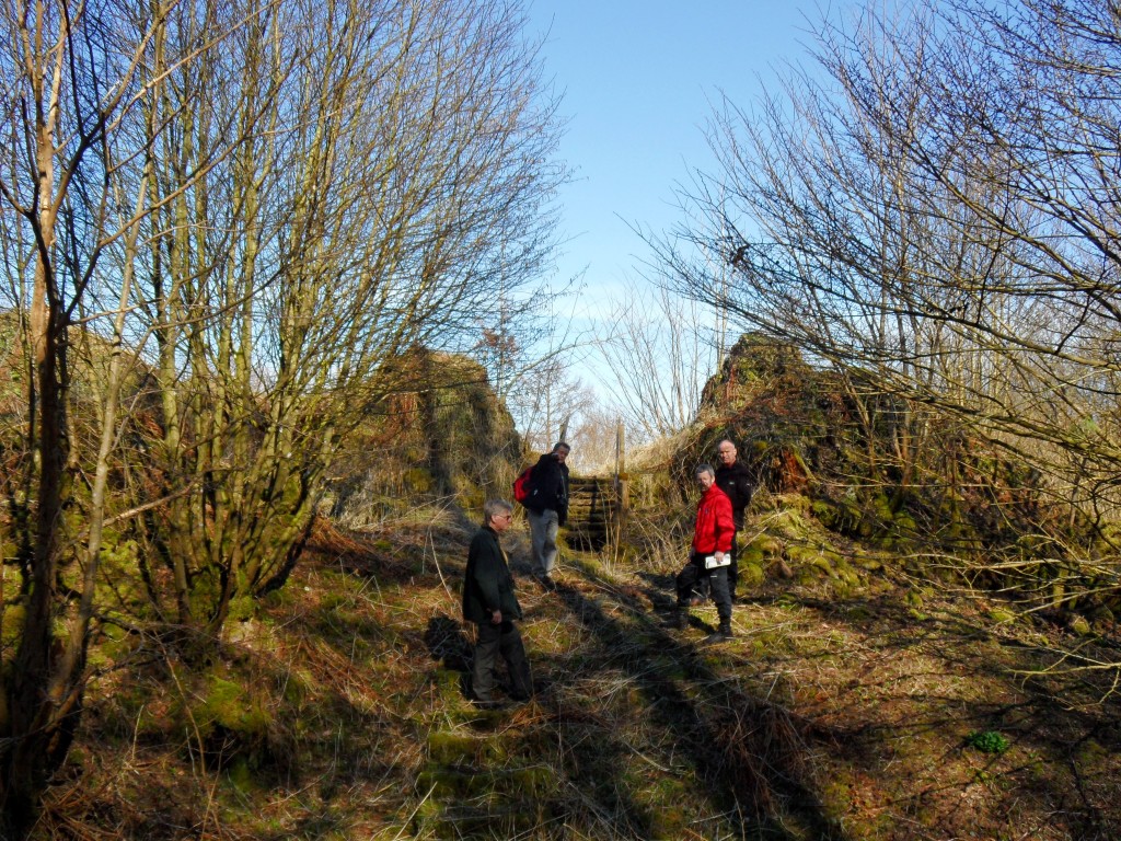
Photo: Jeremy Cunnington / Wikimedia Commons / CC BY-SA 4.0 A nearby medieval castle that provides a comparison with Morton’s surviving baronial architecture and the defensive network of Nithsdale.
-
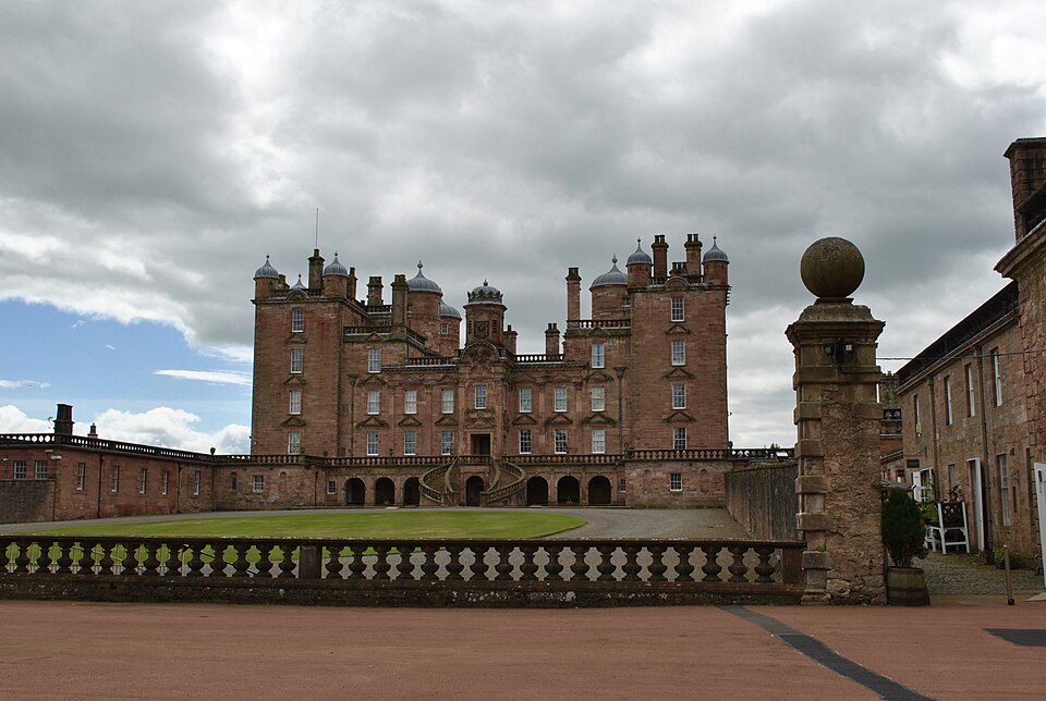
Photo: Fotis Constantinidis / Wikimedia Commons / CC BY-SA 4.0 A later country house of the Douglas family, contrasting Morton’s medieval fortified residence with the region’s subsequent aristocratic seat.
-
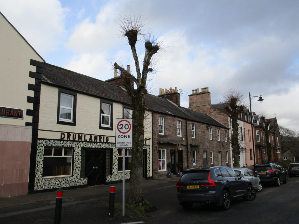
Photo: Richard Webb / Wikimedia Commons / CC BY-SA 2.0 Market Cross, Drumlanrig Street, Thornhill
A civic monument in the nearby settlement landscape, representing the market-town infrastructure that supported the surrounding estates.
What to look for
-
The artificial loch
An eighteenth-century dam flooded the surrounding marshland, making the artificial loch that now wraps three sides of Morton’s ruins.
-
The D-plan gate tower
The surviving D-plan gate tower rises four storeys above a pit prison, preserving the strongest part of the castle’s twin-gatehouse defences.
-
The second gatehouse
Trace the triangular plan and second gatehouse remains: together they recall the paired entrances also used at Caerlaverock Castle.
-
The hall windows
The former hall range has large arched windows and few arrow loops, evidence for a later conversion toward a hunting-lodge residence.
Plan your visit
- Location
- 55.2749°N · 3.7464°W
- Access
- Open access
- Time needed
- About 60 minutes
- Best time
- Visit in daylight and dry conditions, when the castle ruins and surrounding landscape can be viewed safely.
- What survives
- Morton survives as an imposing roofless hall-house ruin on a promontory above Morton Loch, with substantial walling, a gatehouse and interior architectural details still visible.
- Facilities
- No dedicated visitor facilities are documented at the ruins; plan to use facilities in nearby settlements.
Opening & admission
Open to visitors under Historic Environment Scotland; check the official site for current opening times and admission arrangements, and take care around uneven ruin and loch-side ground.
Nearby places
Fortified place · Medieval
Tibbers Castle
Dumfries and Galloway
Tibbers Castle preserves a rare Scottish example of a timber earthwork (banks and ditches raised from the earth rather than quarried stone) castle…
- Near Newton Stewart
Building or ruin · Medieval
Drumlanrig Castle
Dumfries and Galloway
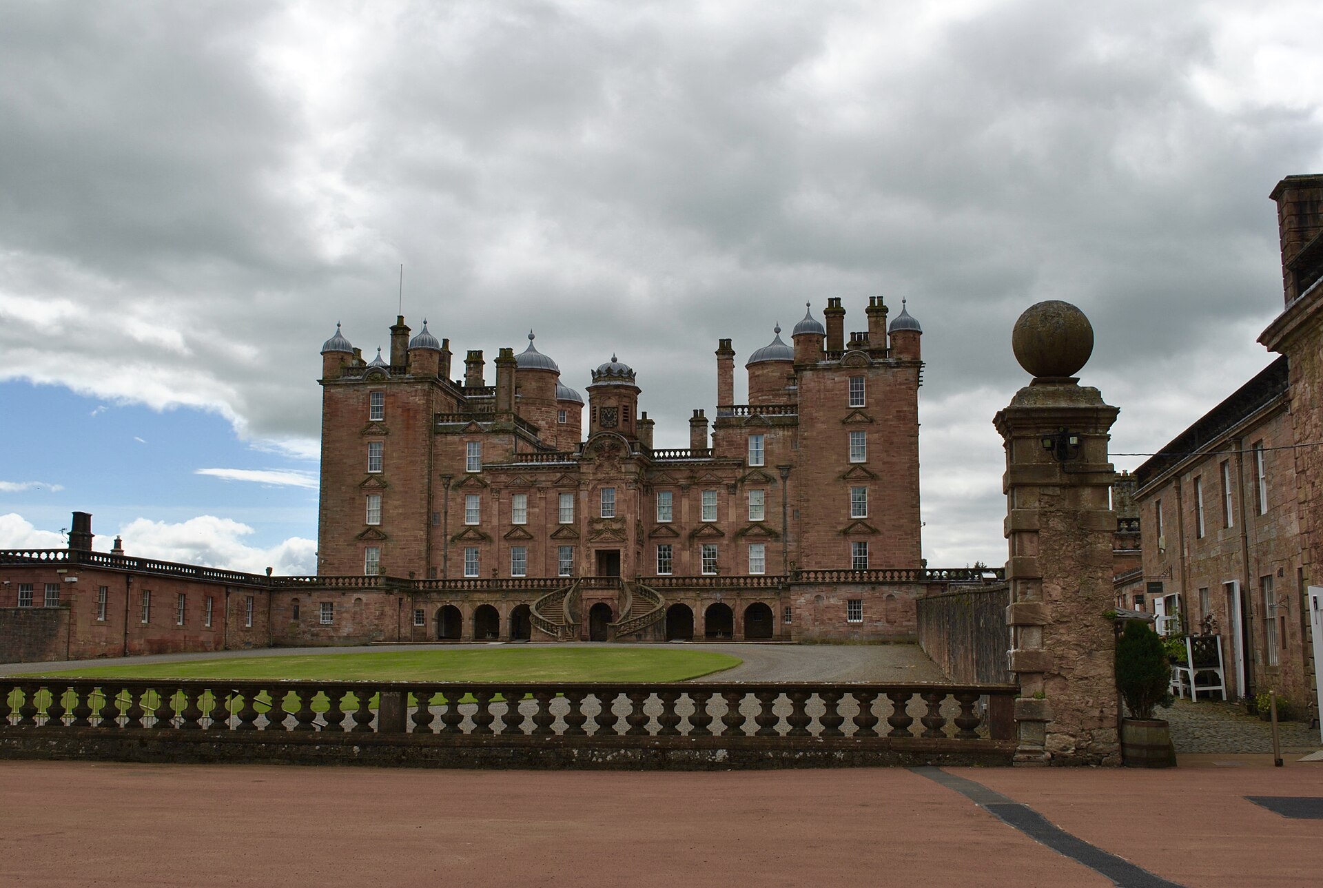
Drumlanrig Castle is a major late-seventeenth-century Scottish Renaissance house whose pink sandstone architecture, designed landscape, art collect…
Minor monument · Medieval
Market Cross, Drumlanrig Street, Thornhill
Dumfries and Galloway
Thornhill’s 1714 Pegasus-topped cross was planned with the village road, making its column a surviving civic centre despite relocation and later re…
- Near Thornhill
- Easy path
Fortified place · Iron Age
Grennan Hill
Dumfries and Galloway
Grennan Hill rises outside the village of Penpont in Dumfries and Galloway, and it carries on its summit the remains of an Iron Age (from about 800…
- Some walking
Questions people ask
- Why is Morton Castle surrounded by water?
- An eighteenth-century dam flooded the marshland to create the artificial loch around three sides of the castle.
- When was Morton Castle last occupied?
- It was at least partly occupied until 1714, probably as a hunting lodge.
- What defensive feature survives in the gate tower?
- The surviving D-plan tower has a pit prison below its upper rooms.
Sources
The Ancient Codex, in your pocket
Get the Pocket Codex app
Carry the directory with you — Morton Castle and thousands of ancient places across Britain and Ireland, offline, wherever you roam.