
Carved into the living rock near the entrance to a small vitrified hillfort, a Pictish (of the Picts, the people of northern and eastern Scotland from about AD 300 to 900) stone sits roughly a mile west of Gatehouse of Fleet, in the parish of Anwoth. It is one of only a handful of such carvings found outside the Pictish heartland of north-east Scotland, and its presence here, in the far south-west, has made Trusty's Hill one of the more debated Dark Age sites in Galloway.
Carved into the living rock near the entrance to a small vitrified hillfort, a Pictish stone sits roughly a mile west of Gatehouse of Fleet, in the parish of Anwoth. It is one of only a handful of such carvings found outside the Pictish heartland of north-east Scotland, and its presence here, in the far south-west, has made Trusty’s Hill one of the more debated Dark Age sites in Galloway.
The fort crowns a rocky summit in the Stewartry district of Dumfries and Galloway. Its ramparts show vitrification, the glassy fusing of stone caused by intense heat, and a 2012 investigation recovered evidence of feasting and high-status metalworking, alongside what the excavators read as a deliberately constructed processional route leading to the summit.
Those findings have fed an ambitious interpretation: that around 600 AD the hill served as a centre, perhaps a place of royal inauguration, for a Brythonic kingdom in Galloway and south-west Scotland. Some have gone further and linked it to Rheged, the elusive north British kingdom that reached its height under the legendary leader Urien in the late 6th century before seemingly vanishing early in the 7th.
What follows is drawn from published sources, with each claim labelled by how firmly it is established.
History
The fort belongs to the post-Roman centuries of early medieval Scotland, a period when small fortified summits across the north served as strongholds for local rulers. Trusty's Hill was built and occupied as one such vitrified fort, its ramparts of stone eventually subjected to heat intense enough to fuse them into a glassy mass.
Around 600 AD the site appears to have been a place of some standing. The 2012 investigation interpreted a constructed approach to the summit as a ceremonial processional route, and recovered traces of feasting and high-status metalworking, the kind of activity associated with an elite or royal centre rather than an ordinary settlement.
Near the entrance to the fort a stone was carved with Pictish symbols. Its position, far from the Pictish core of north-east Scotland, is unusual, and it remains one of only a small number of such carvings known from outside that heartland. What it signifies here, whether contact, imitation, or the movement of people, is not settled.
The late 6th century saw the rise of Rheged, a Brythonic kingdom of the Old North that gained its greatest prominence under the leader Urien. By the early 7th century the kingdom appears to have collapsed almost without trace, and its very location has never been fixed with certainty, which is part of what makes the identification of Trusty's Hill so contested.
In 2012 the Galloway Picts Project carried out an excavation and survey of the hill, directed by Ronan Toolis and Christopher Bowles. Their work produced the physical evidence, the metalworking, feasting debris and processional approach, that led them to argue the site had been a royal stronghold, and in 2017 they published their case at book length as The Lost Dark Age Kingdom of Rheged.
People
-
Urien
Legendary leader under whom the north British kingdom of Rheged reached its greatest prominence in the late 6th century.
-
Ronan Toolis
Archaeologist who co-directed the 2012 investigation of Trusty's Hill and co-authored the published report.
-
Christopher Bowles
Co-directed the 2012 investigation of Trusty’s Hill and co-authored its published report with Ronan Toolis.
Cultural influences
-
Trusty’s Hill was shaped by high-status feasting, metalworking and a ceremonial route, evidence that has led to its interpretation as a possible royal centre in sixth-century Galloway.
Connections
-
Rheged
The elusive north British kingdom, prominent under Urien in the late 6th century, that some have proposed was centred on or inaugurated its rulers at Trusty's Hill.
-

Photo: Chris Newman / Wikimedia Commons / CC BY-SA 2.0 Gatehouse of Fleet
Present-day town about a mile to the east of the fort.
Discovery & excavation
The 2012 investigation, carried out by the Galloway Picts Project and directed by Ronan Toolis and Christopher Bowles, was the source of most of what is known about the site's early medieval use. It recovered evidence of feasting and high-status metalworking and identified what the excavators interpreted as a constructed ceremonial processional route to the summit. The findings were summarised in a 2012 report and set out in full in the 2017 book The Lost Dark Age Kingdom of Rheged.
In culture
-
The Lost Dark Age Kingdom of Rheged
Ronan Toolis and Christopher Bowles published the 2012 investigation of Trusty’s Hill in their 2017 study of Rheged.
What to look for
-
The Pictish stone
A carved stone bearing Pictish symbols sits near the entrance to the fort, one of only a handful found outside north-east Scotland.
-
Vitrified ramparts
The fort's defences show vitrification, where the stone has been fused into a glassy mass by intense heat.
-
The processional approach
The route to the summit was interpreted by the 2012 excavators as a deliberately constructed ceremonial approach.
What is said
Folklore and tradition, recorded as what is said — not as established fact.
-
A kingdom of legend
Local and scholarly tradition holds that the hill may have been a royal centre of Rheged, a kingdom whose leader Urien is remembered as a legendary figure of the Old North, though the identification is speculative.
Plan your visit
- Location
- 54.8789°N · 4.2009°W
- Nearest settlement
- Newton Stewart
- Access
- Open access
- Terrain
- Moderate walking
- Time needed
- About 45 minutes
Nearby places
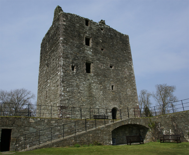
Fortified place · Medieval
Cardoness Castle
Dumfries and Galloway
Cardoness Castle is a remarkably preserved fifteenth-century Galloway tower house whose MacCulloch history, Gordon feud and state protection make i…
- Near Newton Stewart
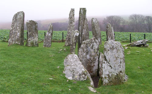
Tomb or burial place · Prehistoric
Cairn Holy Chambered Cairns
Dumfries and Galloway
Cairn (a mound of piled stones, often covering a burial) Holy is the site of two Neolithic (the first farming age, roughly 4000–2500 BC) chambered…
- Near Newton Stewart
- 207 metres from car park
- Easy path
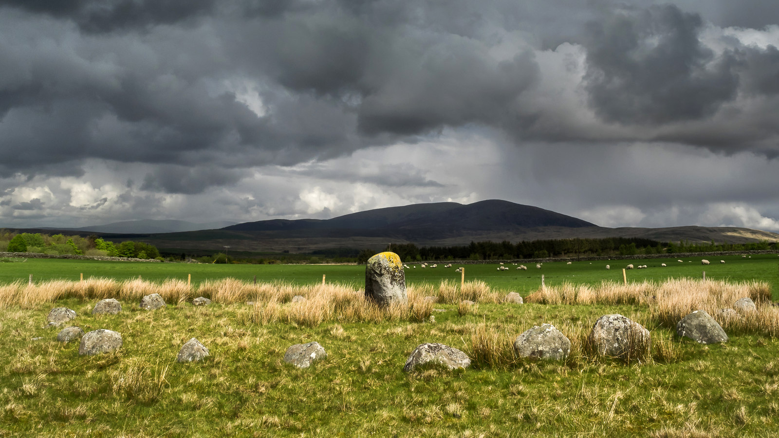
Sacred place · Prehistoric
Glenquicken stone circle
Dumfries and Galloway
At the centre of an oval ring of 29 stones, two miles east of Creetown in Dumfries and Galloway, a single tall pillar stands upright. This arrangem…
- Easy path
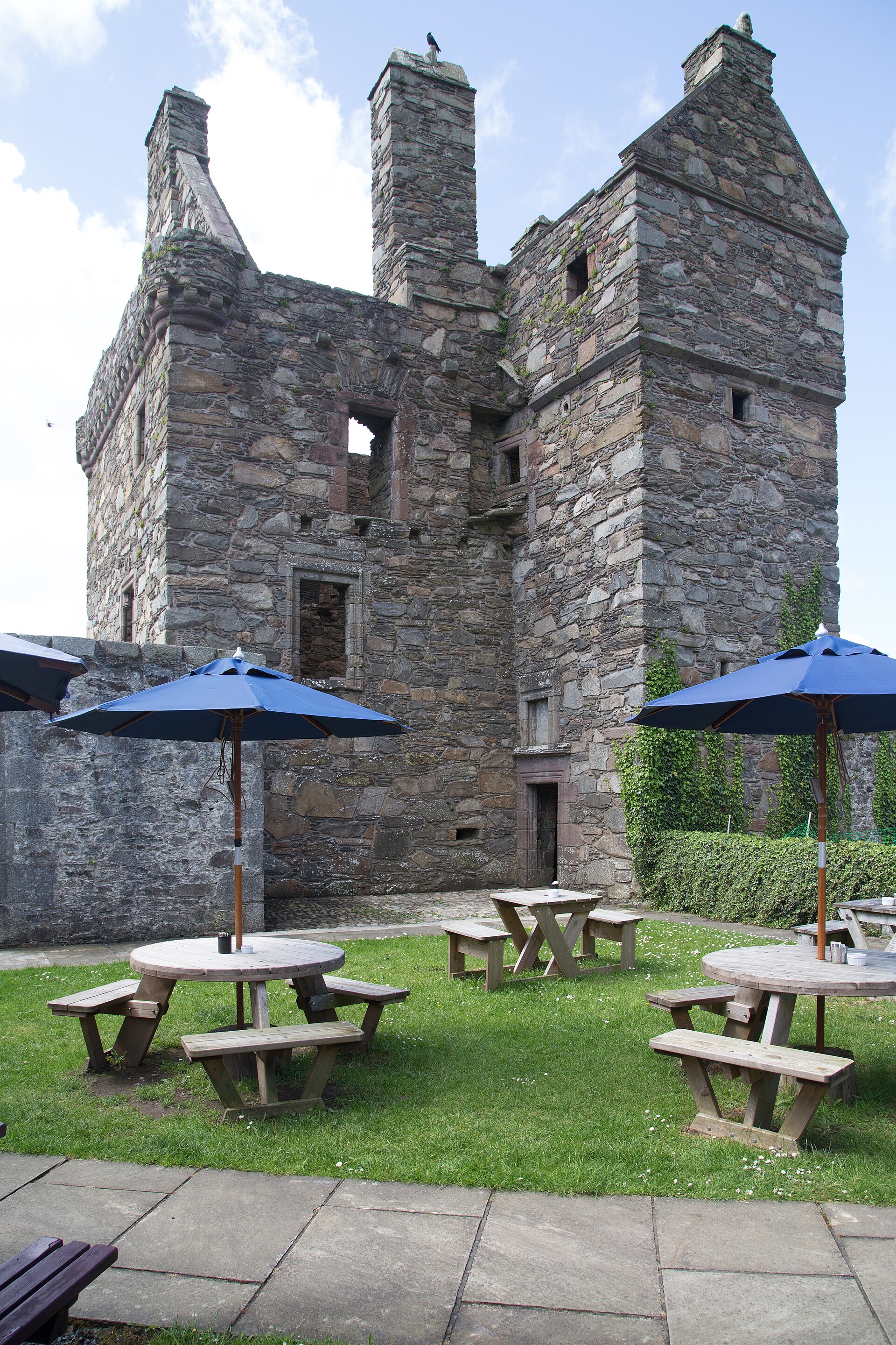
Fortified place · Medieval
Carsluith Castle
Dumfries and Galloway
Carsluith Castle is a sixteenth-century Galloway tower house whose Lindsay and Brown history, Catholic recusancy and surviving hall-and-stair archi…
- Near Newton Stewart
Questions people ask
- Where is Trusty's Hill?
- It stands about a mile west of Gatehouse of Fleet, in the parish of Anwoth in the Stewartry district of Dumfries and Galloway.
- What is the Pictish stone at Trusty's Hill?
- A stone carved with Pictish symbols sits near the entrance to the fort. It is notable because it is one of only a handful of such carvings found outside the Pictish heartland of north-east Scotland.
- What did the 2012 excavation find?
- The Galloway Picts Project investigation found evidence of feasting and high-status metalworking, and identified what it interpreted as a constructed ceremonial processional route to the summit.
- Was Trusty's Hill part of the kingdom of Rheged?
- This is a speculative interpretation, not an established fact. The excavators argued the site may have been a royal centre for a Brythonic kingdom around 600 AD, perhaps to be identified with Rheged, but the location of Rheged has never been fixed with certainty.
- What is a vitrified fort?
- A fort whose stone ramparts have been subjected to heat intense enough to fuse them into a glassy mass. Trusty's Hill is described as a small vitrified hillfort.
Sources
- Trusty's Hill — Wikipedia
- Historic Environment Scotland — Trusty's Hill, Anwoth (Site no. NX55NE 2)
- The Galloway Picts Project — Excavation and Survey of Trusty's Hill, Summary Report (2012)
- Toolis, Ronan & Bowles, Christopher (2017). The Lost Dark Age Kingdom of Rheged: the Discovery of a Royal Stronghold at Trusty's Hill, Galloway. Oxford: Oxbow Books.
Explore more: Fortified places · Iron Age · Dumfries and Galloway
The Ancient Codex, in your pocket
Get the Pocket Codex app
Carry the directory with you — Trusty's Hill and thousands of ancient places across Britain and Ireland, offline, wherever you roam.