
The facing stones of the wall have almost entirely gone, but the heat that once fused the rampart (an encircling bank built for defence) still shows in the vitrified (burnt so fiercely that the stone melted and set again) rubble that crowns the Doon of May. This heavily vitrified Iron Age hillfort sits on the south-west edge of a conifer plantation on the Machars peninsula of Dumfries and Galloway, about 14 kilometres west of Wigtown in the parish of Mochrum, the traditional county of Wigtownshire.
The facing stones of the wall have almost entirely gone, but the heat that once fused the rampart still shows in the vitrified rubble that crowns the Doon of May. This heavily vitrified Iron Age hillfort sits on the south-west edge of a conifer plantation on the Machars peninsula of Dumfries and Galloway, about 14 kilometres west of Wigtown in the parish of Mochrum, the traditional county of Wigtownshire.
The fort stands some 139 metres above sea level, high enough to command views over Luce Bay with the coast of Ireland showing in the distance. Roughly elliptical in plan, it measures about 43 metres east to west by 30 metres north to south, ringed by a wall that survives up to 3 metres high on its southern side. Natural cliffs add to the defences, and no trace of any outer earthwork remains.
The plantation that now shares its name grew up around the monument long after the fort fell out of use. In 1999 the woodland was bought from the Forestry Commission by the Tinne Beag Workers’ Co-operative, which has since managed it for sustainable timber and non-timber products while restoring native vegetation. The fort itself, sometimes described as a walled settlement, is a scheduled monument.
What follows is drawn from published sources, with each claim labelled by how firmly it is established.
History
The Doon of May belongs to the Iron Age, when a defended enclosure was built on a rocky rise near the south-western coast of the Machars. The builders chose a spot roughly 139 metres above sea level, where natural cliffs already made the position hard to approach and no additional outer defences were thought necessary.
A stone wall was raised around the summit, enclosing a roughly elliptical area about 43 metres east to west by 30 metres north to south. On the south side the wall still stands up to about 3 metres high, and the entrance was probably set on the west. At some stage the rampart was subjected to intense heat: the stonework became vitrified, its material partly fused together, which is why the site is described as a vitrified fort.
Over the long centuries after the fort was abandoned the wall lost its facing stones almost entirely, leaving the vitrified core and tumbled rubble that survive today. The site has also been interpreted as a walled settlement rather than a purely military work, though what remains above ground is chiefly the collapsed and heat-altered wall.
In the modern era the surrounding ground was planted with conifers and the whole plantation took its name from the fort on its south-western edge. In 1999 the Tinne Beag Workers' Co-operative purchased the woodland from the Forestry Commission and began managing it for sustainable use while restoring native trees and wetland. The fort itself is protected as a scheduled monument.
Cultural influences
-
The Doon of May uses a naturally defended rocky rise above Luce Bay, where cliffs reduced the need for outer defences and a vitrified stone rampart enclosed the summit.
Connections
-
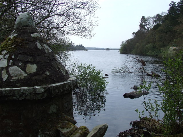
Photo: Roger Nunn / Wikimedia Commons / CC BY-SA 2.0 Mochrum Loch
A Site of Special Scientific Interest forming the northern boundary of the plantation; it hosts Britain's largest inland nesting colony of cormorants.
-

Photo: Harvey Milligan / Wikimedia Commons / CC BY-SA 4.0 Luce Bay
The sea inlet visible from the fort, across which the coast of Ireland can be seen in the distance.
-
Tinne Beag Workers' Co-operative
The co-operative that bought the surrounding woodland from the Forestry Commission in 1999 and manages it for sustainable timber and biodiversity.
What to look for
-
The vitrified wall
The heavily vitrified rampart, its facing stones almost entirely gone, survives up to about 3 metres high on the south side, its stonework partly fused by intense heat.
-
The elliptical enclosure
The roughly oval circuit measures about 43 metres east to west by 30 metres north to south, with the entrance probably on the west.
-
Natural cliffs
The crags around the site enhance its defensive position and explain why no outer defences were built.
-
Views over Luce Bay
From 139 metres above sea level the fort looks out over Luce Bay, with the coast of Ireland visible in the distance.
-
The Peace Pole
A Peace Pole stands on the eastern side of the public road that passes through the plantation below the fort.
Plan your visit
- Location
- 54.8293°N · 4.6557°W
- Nearest settlement
- Newton Stewart
- Access
- Open access
- Terrain
- Moderate walking
- Time needed
- About 45 minutes
Nearby places
Sacred place · Medieval
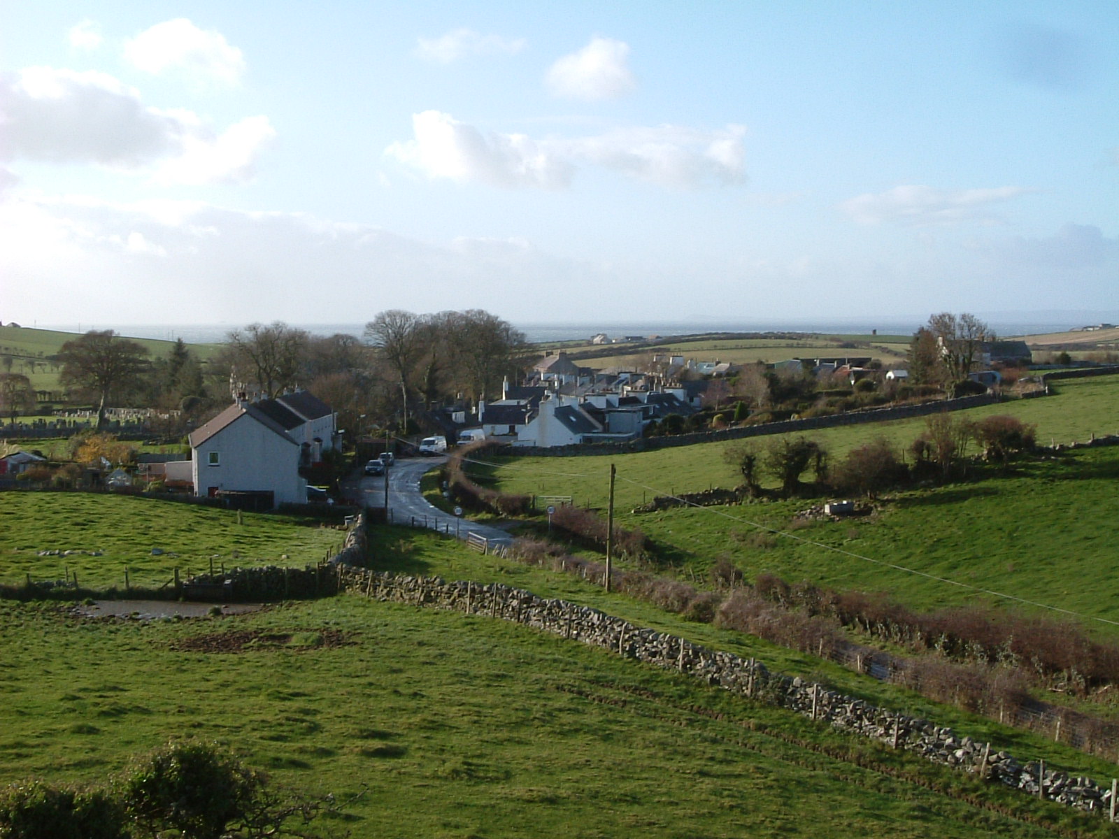
Chapel Finian and Chapel Finian Well
Dumfries and Galloway
Only the foundations remain of Chapel Finian, a small chapel built between the 10th and 11th centuries on an old raised beach at Corwall Port, on t…
- Near Newton Stewart
Settlement · Prehistoric
Dorman's Island, Whitefield Loch
Dumfries and Galloway
Dorman's Island is a crannog (a dwelling built on an artificial island in a loch) in Whitefield Loch, in the parish of Old Luce in the Machars peni…
- Near Newton Stewart
- Some walking
Sacred place · Prehistoric
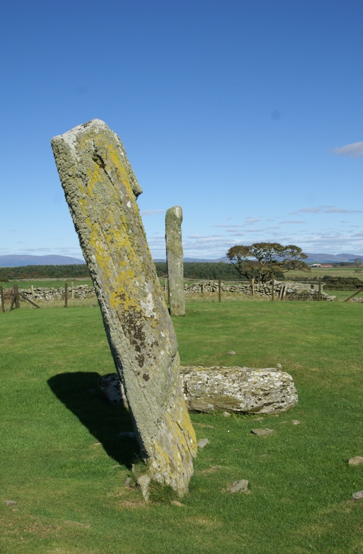
Drumtroddan standing stones
Dumfries and Galloway
Of the three stones that once formed the alignment at Drumtroddan, only one still stands. The others lie fallen on the ground, set in a line runnin…
- Easy path
Sacred place · Prehistoric
Torhouse
Dumfries and Galloway
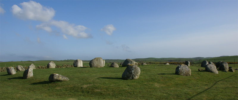
Nineteen granite boulders sit on a slightly raised platform on the land of Torhouse, three miles west of Wigtown. They form a circle roughly 22 met…
- Near Newton Stewart
- Easy path
Questions people ask
- What is the Doon of May?
- It is a vitrified Iron Age hillfort on the south-west edge of a conifer plantation on the Machars peninsula in Dumfries and Galloway. Roughly elliptical and about 43 by 30 metres, it is a scheduled monument.
- What does 'vitrified' mean here?
- The stone of the fort's wall was subjected to intense heat that partly fused it together. At the Doon of May the facing stones have almost entirely gone, leaving the heat-altered core of the rampart.
- How big is the fort and how high does the wall survive?
- The enclosure measures about 43 metres east to west by 30 metres north to south. The surrounding wall stands up to about 3 metres high on the south side, and the entrance was probably on the west.
- Where is the Doon of May and what can be seen from it?
- It lies about 14 kilometres west of Wigtown, in the parish of Mochrum in Wigtownshire. Standing some 139 metres above sea level, it gives views over Luce Bay with the coast of Ireland in the distance.
- Who owns the surrounding woodland?
- The plantation was bought from the Forestry Commission by the Tinne Beag Workers' Co-operative in 1999, which manages it for sustainable timber and non-timber products while restoring native vegetation.
Sources
The Ancient Codex, in your pocket
Get the Pocket Codex app
Carry the directory with you — Doon of May and thousands of ancient places across Britain and Ireland, offline, wherever you roam.