
Only the foundations remain of Chapel Finian, a small chapel built between the 10th and 11th centuries on an old raised beach at Corwall Port, on the shore of Luce Bay in the parish of Mochrum. The building sat on the Machars peninsula of Wigtownshire, in the historical district of Galloway, close to the water that pilgrims crossed from Ireland.
Only the foundations remain of Chapel Finian, a small chapel built between the 10th and 11th centuries on an old raised beach at Corwall Port, on the shore of Luce Bay in the parish of Mochrum. The building sat on the Machars peninsula of Wigtownshire, in the historical district of Galloway, close to the water that pilgrims crossed from Ireland.
The chapel most likely took its name from Saint Finnian, who was educated at nearby Whithorn and died around 579 AD. Its position on the coast suggests a practical religious purpose: the site was probably a landing place for Irish pilgrims making their way to the shrine of Saint Ninian at Whithorn. The chapel is recorded on Timothy Pont’s map, reproduced in Blaeu’s Atlas, where it appears as “Chappel finan”.
What follows is drawn from published sources, with each claim labelled by how firmly it is established.
The name
The chapel most likely takes its name from Saint Finnian, who was educated at nearby Whithorn and died around 579 AD. The form recorded on Timothy Pont's map, later engraved in Blaeu's Atlas, is "Chappel finan".
History
The chapel's dedication points back to the sixth century and to Saint Finnian, who was educated at nearby Whithorn and died around 579 AD. Though the surviving building is much later, the name carried his memory forward into the medieval landscape of the Machars. Between the 10th and 11th centuries a chapel was built on an old raised beach at Corwall Port, on the shore of Luce Bay. Its coastal setting was no accident: the site was probably a landing place for Irish pilgrims crossing the sea on their way to the shrine of Saint Ninian at Whithorn.
By the time Timothy Pont surveyed Galloway, the chapel was established enough to be marked on his map, which was later engraved and published in Blaeu's Atlas as "Chappel finan", fixing its position and name in the early cartographic record. In the centuries since, the building itself has been reduced to its foundations, which are now all that remains of the chapel above ground at Corwall Port.
People
-
Saint Finnian
The saint from whom the chapel most likely takes its name; he was educated at nearby Whithorn and died around 579 AD.
Cultural influences
-
Chapel Finian probably served Irish pilgrims travelling to the shrine of Saint Ninian at nearby Whithorn, using the old raised beach at Corwall Port as a landing place.
Connections
-
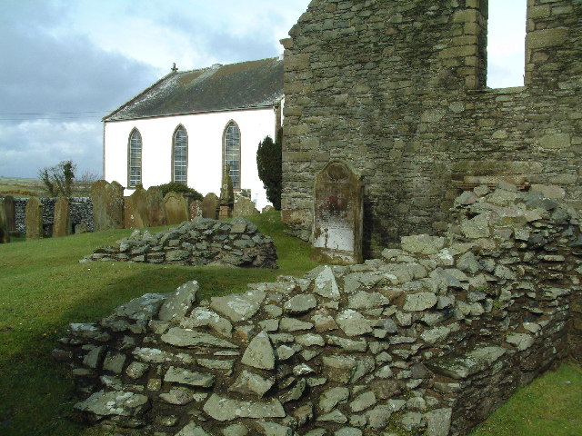
Photo: James Allan / Wikimedia Commons / CC BY-SA 2.0 Whithorn
Site of Saint Ninian's shrine, the destination for the Irish pilgrims for whom the chapel probably served as a landing place, and where Saint Finnian was educated.
-
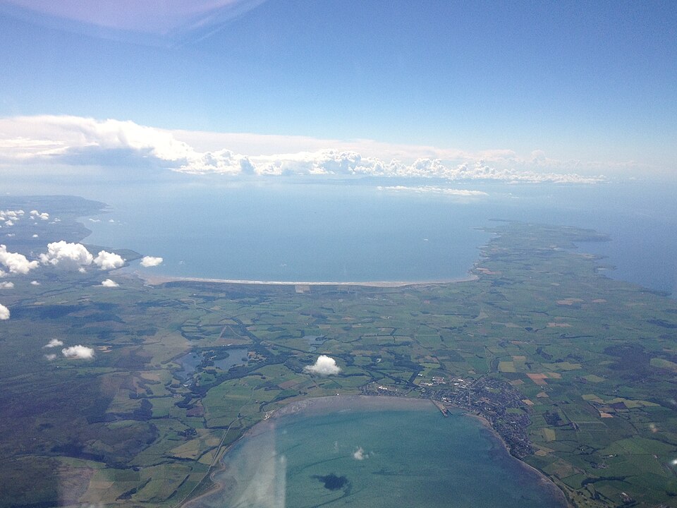
Photo: Harvey Milligan / Wikimedia Commons / CC BY-SA 4.0 Luce Bay
The bay on whose shore, at Corwall Port, the chapel was built.
What to look for
-
The chapel foundations
The foundations are all that is left of the 10th-11th-century chapel, standing on an old raised beach at Corwall Port.
-
The raised-beach setting
The chapel occupies an old raised beach on the shore of Luce Bay, a coastal position that reflects its likely role as a landing place for pilgrims arriving by sea.
Plan your visit
- Location
- 54.8056°N · 4.6801°W
- Nearest settlement
- Newton Stewart
- Time needed
- About 45 minutes
Nearby places
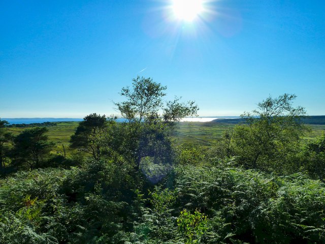
Fortified place · Iron Age
Doon of May
Dumfries and Galloway
The facing stones of the wall have almost entirely gone, but the heat that once fused the rampart (an encircling bank built for defence) still show…
- Near Newton Stewart
- Some walking
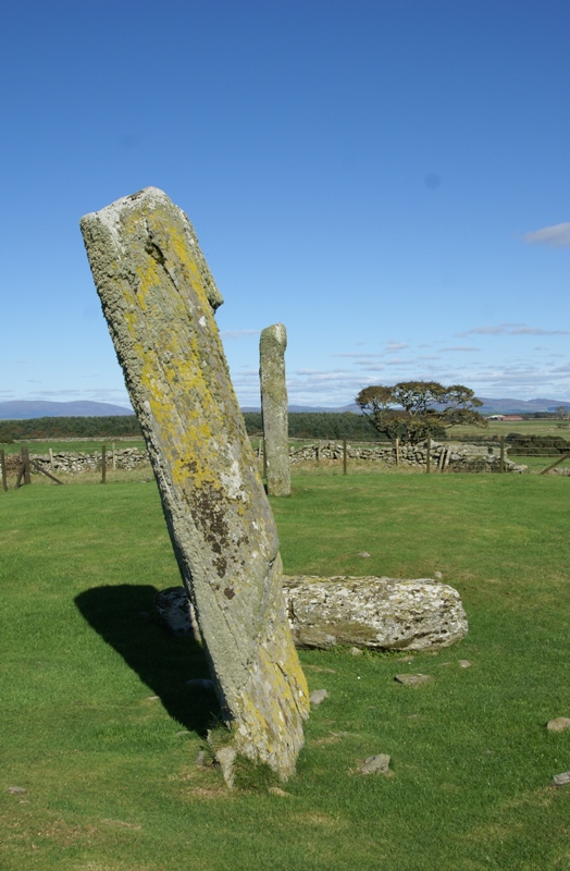
Sacred place · Prehistoric
Drumtroddan standing stones
Dumfries and Galloway
Of the three stones that once formed the alignment at Drumtroddan, only one still stands. The others lie fallen on the ground, set in a line runnin…
- Easy path
Settlement · Prehistoric
Dorman's Island, Whitefield Loch
Dumfries and Galloway
Dorman's Island is a crannog (a dwelling built on an artificial island in a loch) in Whitefield Loch, in the parish of Old Luce in the Machars peni…
- Near Newton Stewart
- Some walking
Fortified place · Prehistoric
Barsalloch Fort
Dumfries and Galloway
The site carries two widely separated chapters of the human past. Aspects of Barsalloch Fort are thought to date to the Mesolithic period, placing…
Questions people ask
- How old is Chapel Finian?
- The chapel dates from the 10th to 11th centuries. Its dedication, however, recalls Saint Finnian, who died around 579 AD, several centuries before the surviving building was raised.
- Who was Saint Finnian?
- The chapel most likely takes its name from Saint Finnian, who was educated at nearby Whithorn and died around 579 AD.
- Why was the chapel built on the coast?
- It stands on an old raised beach at Corwall Port on Luce Bay. The site was probably a landing place for Irish pilgrims travelling to the shrine of Saint Ninian at Whithorn.
- What survives of the chapel today?
- Only the foundations remain; they are all that is left of the chapel at Corwall Port.
- Is the chapel shown on any old maps?
- Yes. It appears on Timothy Pont's map, engraved and published in Blaeu's Atlas, where it is labelled "Chappel finan".
Sources
- Wikidata Q1985070 (Canmore 62114 chapel, 62103 well)
- Mochrum (Wikipedia)
- Blaeu's Atlas (Timothy Pont map, "Chappel finan")
Explore more: Sacred places · Medieval · Dumfries and Galloway
The Ancient Codex, in your pocket
Get the Pocket Codex app
Carry the directory with you — Chapel Finian and Chapel Finian Well and thousands of ancient places across Britain and Ireland, offline, wherever you roam.