
On the south side of Ardwell Point, where the land juts into the North Channel on the Rhins of Galloway, the remains of Doon Castle broch (a tall circular tower of unmortared stone, found only in Scotland) sit cut off from the mainland by a natural gully six metres across and 2.3 metres deep. A single man-made causeway, 1.9 metres wide and rising 0.9 metres, carries across the gap and a spanning wall, giving the site the defended, half-islanded character that its builders evidently intended.
At Ardwell Point, a narrow causeway crosses a natural gully to reach the rubble of Doon Castle broch. The gully is about six metres wide and 2.3 metres deep, while the built crossing is only 1.9 metres across: the approach concentrates anyone arriving from the land before they reach the enclosure.
Within it, the remains describe a circular drystone tower nine metres across, with walls three to four metres thick. Masonry on the north-east still rises to about 1.8 metres. Entrances on the north-north-east and south sides face the landward and seaward approaches, and a chamber survives in the eastern wall; a possible western chamber is less certain.
No excavation has tested the interior. Rubble fills the centre, so the broch’s internal arrangements and precise date remain uncertain beyond what its masonry and Iron Age type suggest.
What follows is drawn from published sources, with each claim labelled by how firmly it is established.
History
The broch belongs to the Iron Age, the period in which the distinctive drystone tower-houses known as brochs were raised across northern and western Scotland. Its position on the south side of Ardwell Point, defended by a natural gully and a spanning wall crossed only by a narrow causeway, reflects the deliberate siting typical of these monuments. For most of its history the site went unremarked in the written record. Archaeologists first entered it in the 1912 Galloway inventory published by RCAHMS, Scotland's former national monument-recording body.
In the years after that first survey the broch was mentioned in several further publications, though none advanced beyond description. An early account set down the details still relied upon today: the gully six metres across and 2.3 metres deep, the causeway 1.9 metres wide and 0.9 metres high, and the broch's own dimensions of nine metres across with walls three to four metres thick.
To the present day the broch has never been excavated. Survey has recorded only rubble in the interior, so that the site's internal deposits, finds and precise chronology remain unexamined, and everything known of it rests on measured description of the visible remains.
People
-
RCAHMS
RCAHMS first recorded the broch in its 1912 Galloway inventory, establishing the measured survey record still used for the unexcavated site.
Cultural influences
-
Doon Castle Broch was shaped by Ardwell Point and its natural gully, which separated the promontory from the mainland and was crossed by a built causeway.
Connections
-
Ardwell Point
The headland projecting into the North Channel on whose south side the broch stands.
-
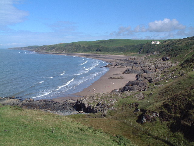
Photo: Uncredited / Wikimedia Commons / CC BY-SA 2.0 Rhins of Galloway
The peninsula of Dumfries and Galloway on which the broch is located.
Discovery & excavation
Doon Castle Broch has not been excavated. Survey of the interior has revealed only rubble, so no artefacts or dated deposits have been recovered from the site.
What to look for
-
The defensive gully and causeway
A natural gully some six metres across and 2.3 metres deep separates the broch from the mainland, crossed by a man-made causeway 1.9 metres wide and 0.9 metres high.
-
The broch walls
The circular structure is nine metres in diameter with walls three to four metres thick, standing up to 1.8 metres high on the north-east side.
-
The two entrances
One entrance lies on the north-north-east side, now blocked by fallen stones, and a second on the south side, the pair aligned to the land and sea approaches.
-
The eastern chamber
A chamber survives within the wall to the east, its entrance measuring 0.8 metres at the mouth and widening to 1.2 metres towards the inner wall face; a possible second chamber lies to the west.
-
The outer enclosure
Between the broch and the northern end of the point are further remains, including a wall about 2.6 metres thick enclosing an area roughly 14 metres east-west by 10 metres north-south, likely entered opposite the causeway.
Plan your visit
- Location
- 54.7590°N · 5.0073°W
- Nearest settlement
- Newton Stewart
- Access
- Open access
- Terrain
- Moderate walking
- Time needed
- About 45 minutes
Nearby places
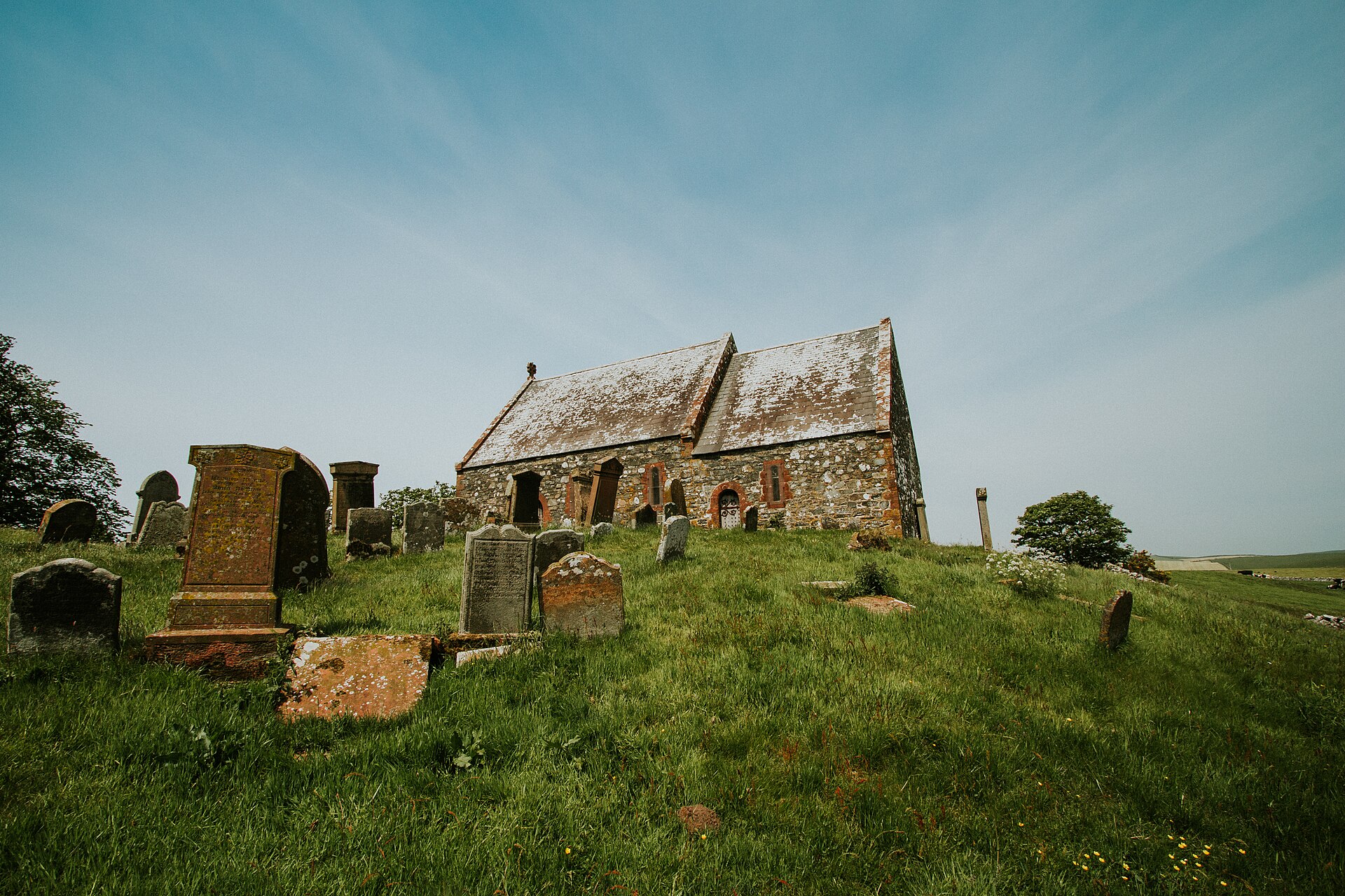
Tomb or burial place · Prehistoric
Kirkmadrine Church and Burial-ground
Dumfries and Galloway
Kirkmadrine preserves three sixth-century Latin memorials naming early Christian priests, then traces continued devotion through later slabs and a…
- Near Newton Stewart
- Easy path
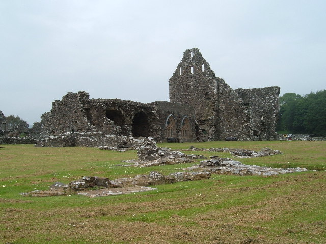
Sacred place · Medieval
Glenluce Abbey
Dumfries and Galloway
Glenluce Abbey preserves a Cistercian foundation in Galloway whose post-Reformation (the sixteenth-century closure of the monasteries) seizure, Ken…
Settlement · Prehistoric
Dorman's Island, Whitefield Loch
Dumfries and Galloway
Dorman's Island is a crannog (a dwelling built on an artificial island in a loch) in Whitefield Loch, in the parish of Old Luce in the Machars peni…
- Near Newton Stewart
- Some walking
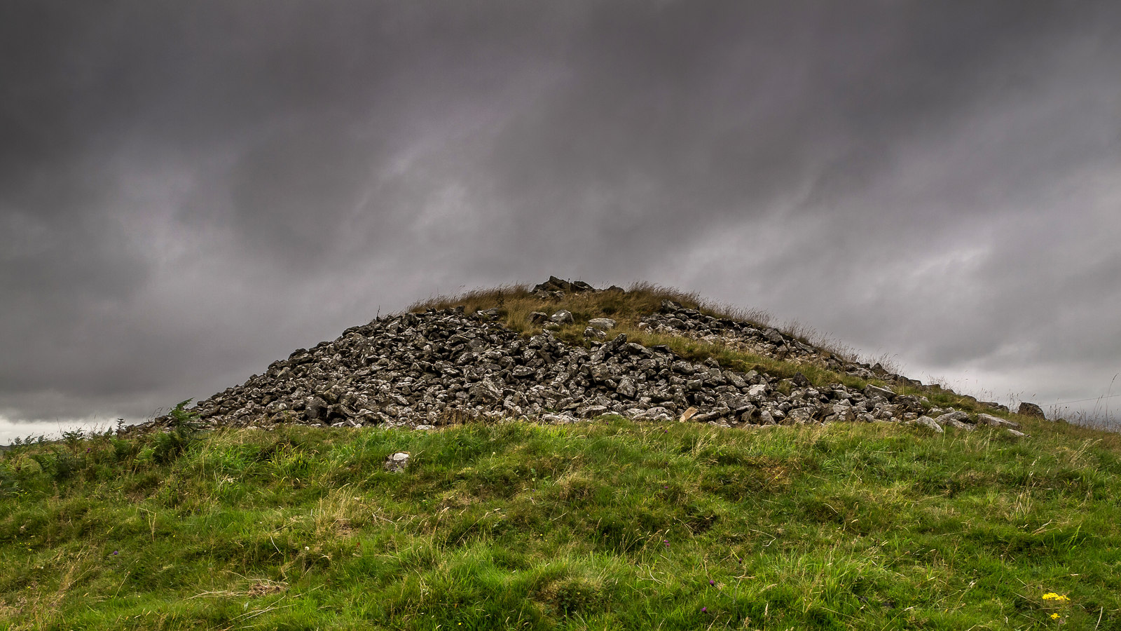
Tomb or burial place · Prehistoric
Mid Gleniron
Dumfries and Galloway
Six burial cairns stand grouped together in the countryside of Dumfries and Galloway, two of them holding a particular importance for archaeologist…
- Near Newton Stewart
- Easy path
Questions people ask
- Has Doon Castle Broch been excavated?
- No. The broch has never been excavated. Survey of the interior has revealed only rubble, so its internal deposits and precise date remain unexamined.
- When was the broch first recorded?
- It was first recorded by archaeologists in 1912, when RCAHMS included it in their 'Fourth Report and Inventory of Monuments and Constructions in Galloway'.
- How big is the broch?
- The circular structure is nine metres in diameter with walls three to four metres thick. On the north-east side the wall survives to 1.8 metres in height.
- Where is Doon Castle Broch?
- It stands on the south side of Ardwell Point on the Rhins of Galloway in Dumfries and Galloway, at grid reference NX 06702 44683, projecting towards the North Channel.
- How was the broch defended?
- A natural gully about six metres across and 2.3 metres deep separates it from the mainland, crossed by a single man-made causeway, giving the site a defended, part-islanded position.
Sources
- Doon Castle Broch — Wikipedia
- RCAHMS, Fourth Report and Inventory of Monuments and Constructions in Galloway (1912)
- The Modern Antiquarian, Doon Castle (Broch)
Explore more: Fortified places · Iron Age · Dumfries and Galloway
The Ancient Codex, in your pocket
Get the Pocket Codex app
Carry the directory with you — Doon Castle Broch and thousands of ancient places across Britain and Ireland, offline, wherever you roam.