
Cramond Roman Fort preserves evidence of Rome's Antonine and Severan campaigns at the River Almond, including inscriptions, a long-used road and the celebrated Cramond Lioness sculpture.
The ground plan of Roman headquarters, granaries and workshops is marked out in parkland at Cramond, where the River Almond meets the Forth. The fort was first established around AD 140 during construction of the Antonine Wall.
It was abandoned around AD 170 and reoccupied during Septimius Severus’s last major incursion into Scotland. A civilian settlement appears to have developed outside the fort.
Inscriptions, road excavations and the Cramond Lioness show how the site connects military occupation with a longer archaeological landscape.
What follows is drawn from published sources, with each claim labelled by how firmly it is established.
History
Cramond Roman Fort was established around AD 140 at the River Almond's mouth on the Forth, where there was probably a natural harbour. It was active during building of the Antonine Wall and may have formed part of a chain of Lothian forts with Carriden and Inveresk. The first occupation ended around AD 170 when Roman forces withdrew south to Hadrian's Wall.
The fort was reoccupied and enlarged between about AD 208 and 214 during Septimius Severus's final major campaign in Scotland. A civilian settlement seems to have existed outside the fort, and some native occupation may have continued into the fifth century. The Roman road leading to the fort had four phases of construction or modification during the Antonine and Severan periods and continued in use into the seventeenth or eighteenth century.
Finds include altars, a centurial stone of Legio II Augusta and a silver sword pendant. The Cramond Lioness, recovered from the River Almond's mouth in 1997, shows a lioness devouring a male figure and probably belonged to a tomb monument for an important Roman officer or dignitary. The site also overlies or stands beside Mesolithic activity, adding a much earlier layer to the landscape.
The fort is sub-rectangular, defended by ramparts and ditches enclosing just under five acres, with a civilian settlement attached. Only the north-eastern and south-eastern sectors survive above the archaeology; the remainder lies beneath modern housing and roads. The scheduled area is irregular, measuring at most 425 metres north-west to south-east by 435 metres north-east to south-west.
Excavation has dated construction to around AD 140, in the Antonine period, with re-occupation later in the same period and again under Severus in the early third century. Civilian re-use of the fort continued afterwards, up to the fourth century. The civil settlement lay beyond the northern and eastern ramparts and has produced evidence of industry as well as domestic life, including leather-working. Coins of the first century AD suggest some Agricolan-period activity, but excavation has so far failed to prove an Agricolan origin for the fort itself.
The site was first scheduled on 11 August 1965 and rescheduled on 21 January 1998 to cover the full extent of the archaeology as then known, taking in the results of twenty years of excavation. Cramond House and Tower, the church, manse, church hall and burial ground all stand within the boundary and are expressly excluded from the designation.
People
-

Portrait: Unknown / Wikimedia Commons / Public domain Septimius Severus
Roman emperor whose final Scottish campaign prompted the fort’s reoccupation and enlargement between about AD 208 and 214.
Cultural influences
-
A Roman fort at the edge of empire
Cramond formed part of the Antonine occupation of central Scotland, using its Forth-side harbour and road to support a fort and civilian settlement during successive Roman campaigns.
Connections
-
River Almond
The fort stands near the river’s mouth where it meets the Firth of Forth, on what was probably a natural harbour.
-
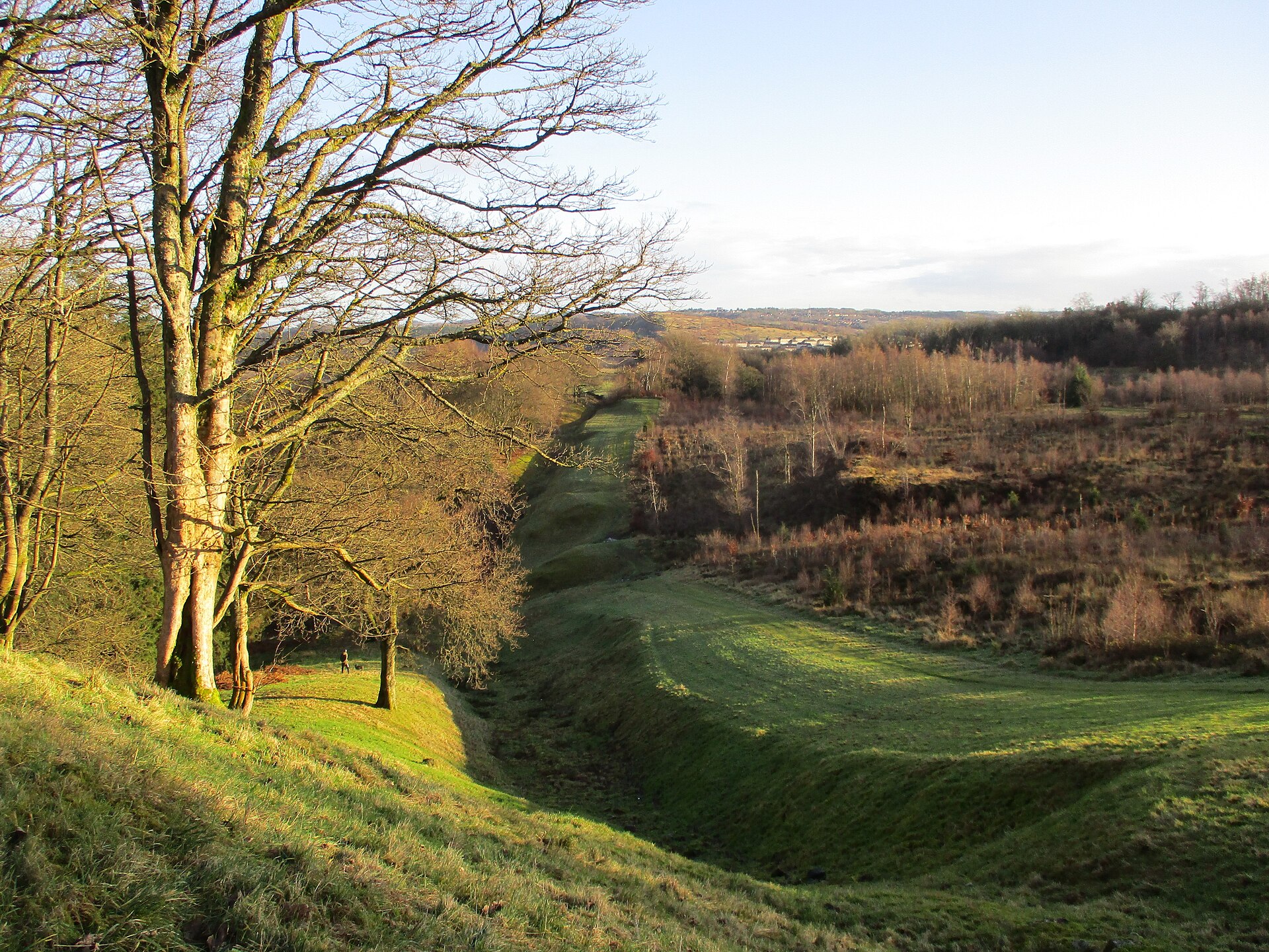
Photo: Alan O'Dowd / Wikimedia Commons / CC BY-SA 2.0 The fort was in use during the building of the wall and belongs to the same Antonine occupation of central Scotland.
-
Carriden
One of the Lothian forts Cramond may have formed a chain with along the southern shore of the Forth.
-
Inveresk
The eastern partner in the proposed Lothian chain of forts along the southern Forth; Cramond’s source presents that relationship as a suggestion rather than a certainty.
-
Cramond village
Cramond House and Tower, the church, manse, hall and burial ground stand within the scheduled area but are expressly excluded from the scheduling itself.
-
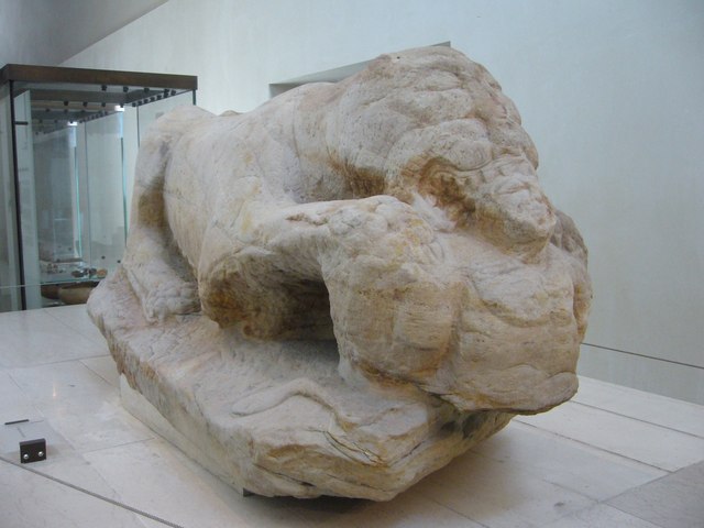
Photo: kim traynor / Wikimedia Commons / CC BY-SA 2.0 Cramond Lioness
The Roman sculpture recovered at the mouth of the River Almond in 1997 is a major find associated with the fort and its cemetery landscape.
Discovery & excavation
Excavation over two decades established the Antonine foundation, later Severan reoccupation, civilian settlement and four phases of the approach road; the exposed fort buildings are now restored in outline in parkland.
What to look for
-
Outlined fort buildings
The headquarters, granaries, workshop and other buildings are restored in outline in parkland; information panels use excavation evidence to recreate the headquarters and bathhouse.
-
Roman road
Excavations found four Antonine and Severan construction phases in the approach road. Medieval and post-medieval material shows it remained in use until the seventeenth or eighteenth century.
-
Cramond Lioness
Recovered from the River Almond’s mouth in 1997, this non-local white-sandstone lioness devours a bearded figure and probably came from an officer’s tomb monument.
Plan your visit
- Location
- 55.9774°N · 3.2967°W
- Nearest settlement
- Cramond
- Access
- Open access
- Terrain
- Easy going
- Time needed
- About 45 minutes
- What survives
- The headquarters, granaries and workshop are shown in outline in parkland; much of the fort and settlement lies beneath the modern village.
Opening & admission
Free to view; check for any current site information before visiting.
- Fort outline laid out in open parkland with information panels
- Some structures lie beneath the modern village and are not visible
Nearby places
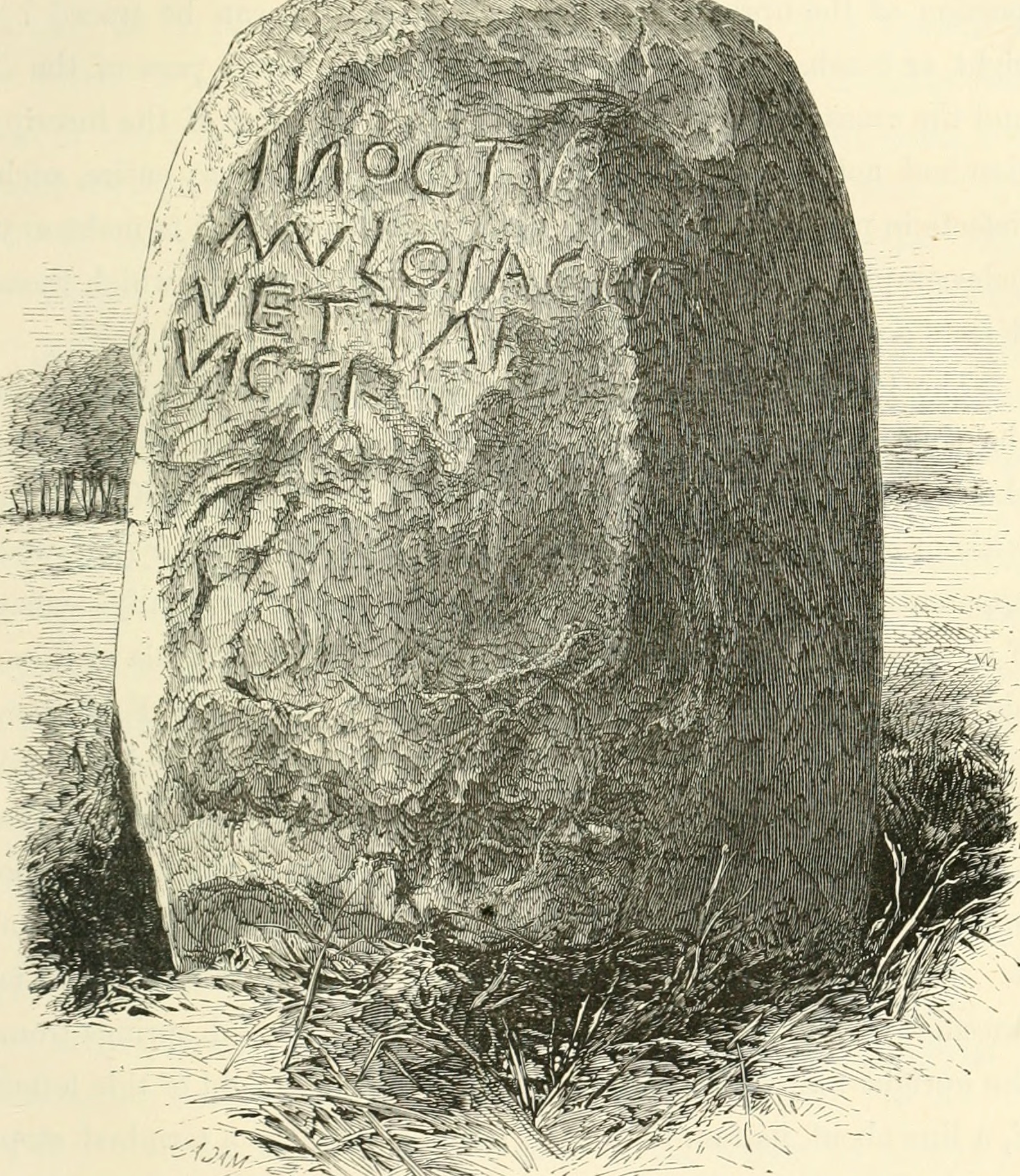
Sacred place · Prehistoric
Cat Stane
City of Edinburgh
The Cat Stane combines a Bronze Age (roughly 2500–800 BC, when metalworking spread) standing stone with a fifth- or sixth-century Latin funerary in…
- Near Edinburgh
- Easy path

Sacred place · Medieval
Inchcolm Abbey
Fife
Inchcolm Abbey is Scotland’s most complete surviving monastic complex, preserving an Augustinian island community whose buildings also reveal the F…
- Near St Andrews
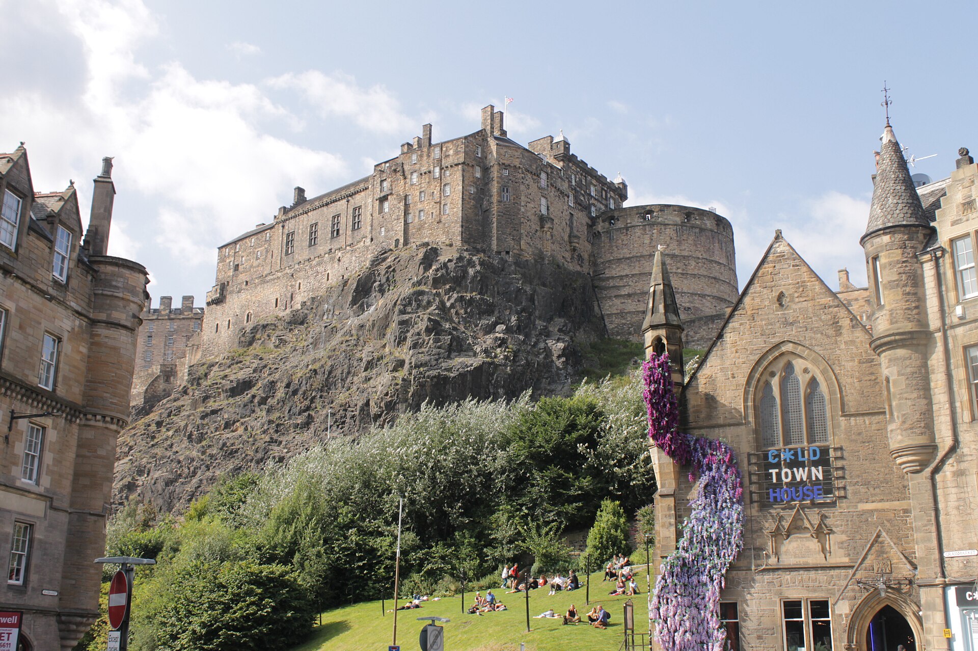
Fortified place · Iron Age
Edinburgh Castle
City of Edinburgh
One of Scotland's most important strongholds and a seat of royal power for centuries, Edinburgh Castle claims to be the most besieged place in Grea…
- Near Edinburgh
- Some walking
Questions people ask
- When was Cramond Roman Fort occupied?
- It was occupied around AD 140–170 and again around AD 208–214.
- What is the Cramond Lioness?
- It is a Roman sculpture, probably from a tomb monument, found in 1997.
- What can be seen at Cramond today?
- Part of the fort plan is laid out in parkland with information panels.
Sources
The Ancient Codex, in your pocket
Get the Pocket Codex app
Carry the directory with you — Cramond Roman Fort and thousands of ancient places across Britain and Ireland, offline, wherever you roam.