
A cleared crofting township on the Ross of Mull whose stone walls, kilns and mill remains survive well enough to trace the whole shift from run rig farming to crofts to eviction.
Rounded-corner walls still trace the outlines of roughly a dozen dwellings scattered across the grass of a remote peninsula on the Isle of Mull, alongside the footings of byres, corn-drying kilns and at least one watermill. Nothing here has been rebuilt or restored; what stands is what was left when the last family walked away, which makes the site an unusually complete record of how a small Highland community actually lived, worked and was eventually removed from its land.
Shiaba lies on the south-western tip of Mull, roughly eight kilometres east of Bunessan, reached by a walk past Loch Assapol and Scoor House. Its Gaelic name, Sia Ba, means “six cows”, a boast about the relative richness of its grazing compared with the thinner ground elsewhere on the Ross of Mull. That reputation for fertility shaped the settlement’s whole history, from its adoption of the communal run rig system of farming to the later decision by its landlord to reorganise it, and eventually to clear it.
A school, two kilns for drying corn, watermills, dwellings and a possible small chapel once stood here, home to around 130 people at the settlement’s peak in the mid-1800s. Within a few decades almost all of them were gone, and by the twentieth century the last resident had left entirely, leaving the ruins to become one of the best-documented abandoned townships in the region.
What follows is drawn from published sources, with each claim labelled by how firmly it is established.
The name
The name Shiaba comes from the Gaelic Sia Ba, meaning "six cows", a reference to the settlement's comparatively fertile ground within the wider Ross of Mull. That reputation for good grazing was later borne out by the findings of the Napier Commission, the 1883 government inquiry into crofting conditions in the Scottish Highlands and Islands.
History
Shiaba first appears by name in written records in 1779, though the settlement is thought to be considerably older. A possible earlier trace of it survives in Bleau's Atlas of Scotland of 1654, which marks a settlement called 'Shaback' in roughly the same location, suggesting a community had already taken root on this stretch of the Ross of Mull more than a century before it entered the documentary record under its later name.
For much of its early history the township farmed under the run rig system, in which strips of arable land were shared and periodically reallocated among the community rather than held individually. Around 1804 this gave way to crofting, with fixed plots of land assigned to each household. The change was driven at least in part by the landowner, the Duke of Argyll, whose policy of agricultural 'modernisation' was intended to raise incomes from the land and, in turn, the rents that could be charged upon it.
At its height Shiaba supported a school, two corn-drying kilns, one or possibly two horizontal watermills, and around twelve dwellings built in the rounded-corner style typical of the area, alongside byres, peat-drying stacks and the footings of what may have been a small chapel. The remains of most of these structures are still clearly visible today. By the mid-1800s the township held a population of around 130 people.
The clearance of Shiaba began in 1845, when the Duke of Argyll issued the residents with notice of eviction. The response from those inhabitants who wished to remain was literate and articulate, and it survives as a well-documented account of a community arguing for its own future. That argument failed: in 1847 almost all the residents were removed, some resettling elsewhere on the Ross of Mull and others encouraged to emigrate overseas.
The clearance was hastened by hardship following the failure of the potato crop in 1846, a disaster that lent weight to the landlord's case that removal served the residents' own best interests. By the time of the 1871 census only a single shepherd and his family remained at Shiaba, tending a flock across some 92 hectares of the former township's land, the last human presence in a settlement that had recently held well over a hundred people.
That shepherd's household finally left in 1937, after the dwelling was damaged by a severe storm, bringing to a close nearly two centuries of continuous habitation and completing the township's abandonment. In 1993 Historic Scotland designated the remains a Scheduled Monument, judging them of national importance for showing, in physical form, the evolution of a Highland settlement from a pre-crofting to a crofting economy.
People
-
Mary MacLucas
Gaelic poet and resident of Shiaba, author of the Gaelic hymn Leanabh an àigh (Child in a Manger), whose tune later became widely known as the melody for the hymn Morning Has Broken.
Cultural influences
-
Crofting and Highland clearance
Shiaba records the transition from run-rig farming to crofting and the later Highland clearance that removed almost all of its residents.
Connections
-
Duke of Argyll estate
Shiaba's landlord, who drove the shift from run rig farming to crofting around 1804 and issued the eviction notice that began the township's clearance in 1845.
-
Napier Commission (1883)
The government inquiry into Highland crofting conditions whose findings later corroborated Shiaba's traditional reputation for relatively fertile land.
-
Bunessan
The nearest village, roughly eight kilometres west of Shiaba, via Loch Assapol and Scoor House.
-
Ross of Mull
Shiaba is a cleared crofting township on the Ross of Mull, where some residents were resettled after the 1847 evictions.
Discovery & excavation
No excavation is recorded at Shiaba; its designation as a Scheduled Monument in 1993 rested on the survival and documentation of the standing remains themselves rather than on buried finds.
In culture
-
Morning Has Broken
The melody of Leanabh an àigh, the Gaelic hymn written by Shiaba resident Mary MacLucas, was later adopted as the tune for the widely known hymn Morning Has Broken.
What to look for
-
Rounded-corner dwellings
Around a dozen house footings survive, built in the local style with characteristically rounded corners rather than square ones.
-
Corn-drying kilns
The remains of two kilns used for drying grain before milling are still visible among the settlement's ruins.
-
Watermill remains
The footings of at least one, and possibly two, horizontal watermills survive from the township's working agricultural economy.
-
Agricultural outbuildings
Byres and peat-drying stacks scattered through the ruins give a sense of the settlement's wider farming operation beyond the dwellings themselves.
Plan your visit
- Location
- 56.2965°N · 6.1421°W
- Nearest settlement
- Bunessan
- Access
- Open access
- Terrain
- Rough ground — reasonable boots advised
- Time needed
- About 120 minutes
- What survives
- Exposed ruined township with roofless buildings, walls, kilns and mill remains surviving in uneven coastal ground.
Opening & admission
Free to visit, but check the official Historic Environment Scotland record before travelling.
- Remote ruined township reached across open hill and coastal ground on the Ross of Mull, with no formal path or facilities documented
- Building remains are exposed and uneven underfoot
Nearby places
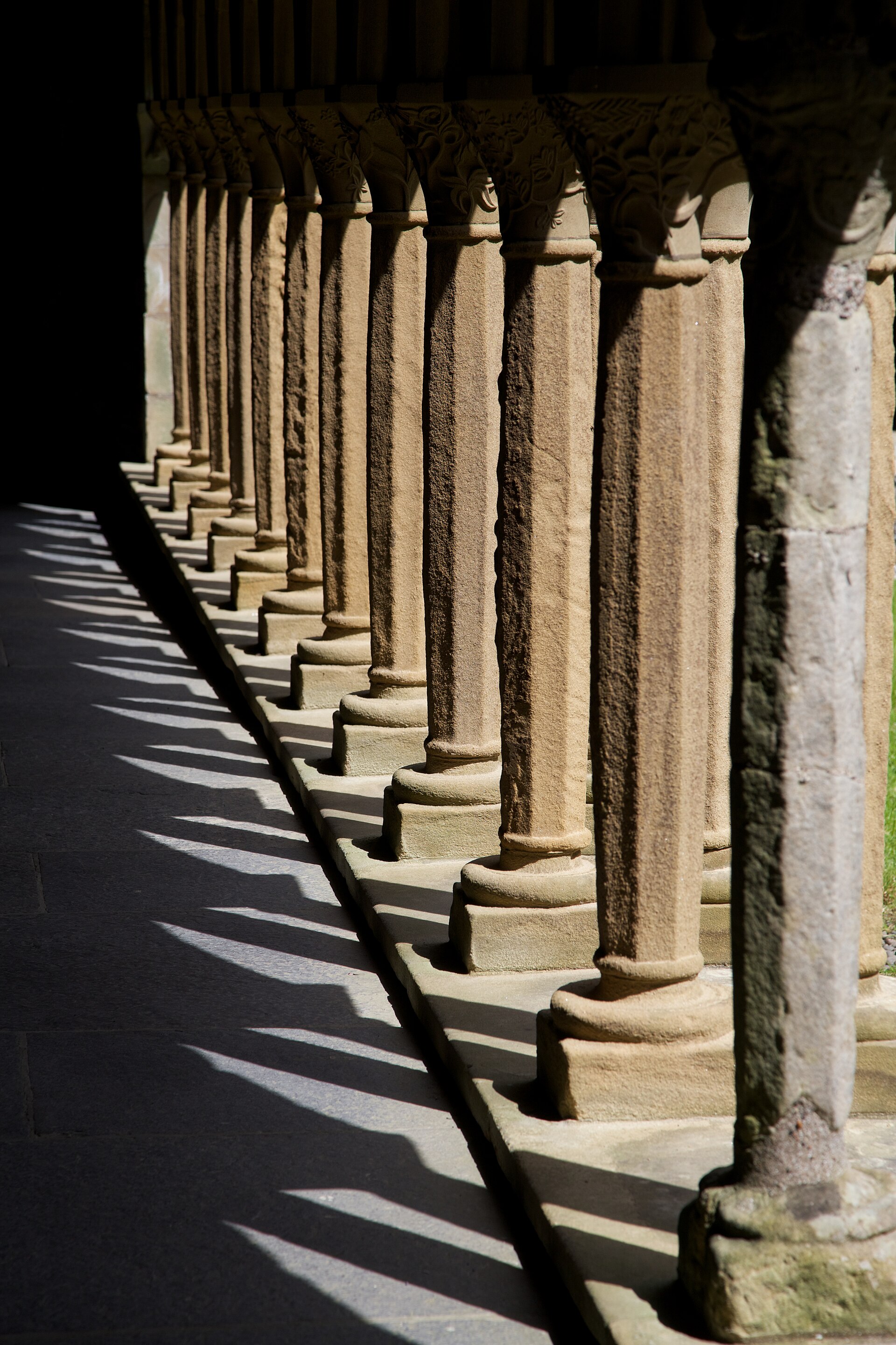
Building or ruin · Pictish & early medieval
Iona Abbey
Argyll and Bute
Saint Columba came to Iona from Ireland with twelve companions in 563, founding a monastery when Iona was part of the Kingdom of Dál Riata. It beca…
- Near Baile Mor, Iona
- 1.8 km from car park
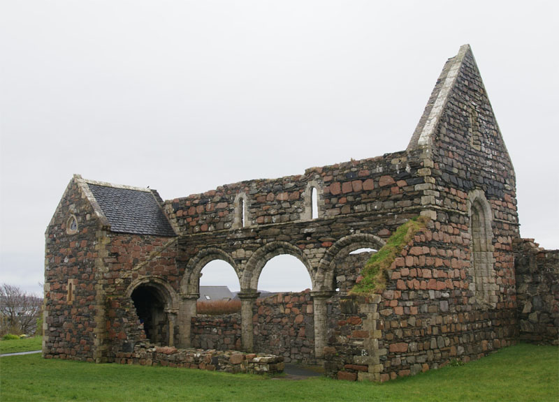
Sacred place · Medieval
Iona Nunnery
Argyll and Bute
The ruined church, cloister and domestic ranges of the Iona Nunnery stand in a walled precinct beside Baile Mor, the only village on the island of…
- Near Baile Mor
- Easy path
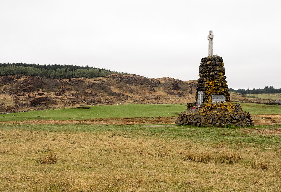
Sacred place · Medieval
St Kenneth's Chapel
Argyll and Bute
Eight medieval cross slabs and a sixteenth-century high cross survive inside its walls, set within an island cemetery still used for burials today.
- Rough ground
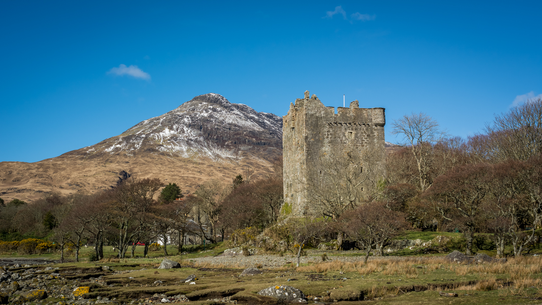
Fortified place · Medieval
Moy Castle
Argyll and Bute
Its walls still stand almost to the parapet, with a working well surviving on the ground floor and a Powell and Pressburger film crew's footprints…
- Near Lochbuie
- Some walking
Questions people ask
- What does the name Shiaba mean?
- It comes from the Gaelic Sia Ba, meaning "six cows", a reference to the settlement's comparatively fertile grazing land within the Ross of Mull.
- When was Shiaba cleared?
- Eviction notices were issued in 1845, and almost all residents were removed by 1847, with only a shepherd's family remaining by the 1871 census.
- Why is Shiaba a Scheduled Monument?
- Historic Scotland designated it in 1993 for its national importance as a well-preserved, documented settlement showing the shift from run rig to crofting economy.
- What survives at Shiaba today?
- Around twelve rounded-corner dwellings, two corn-drying kilns, watermill footings, byres and peat-drying stacks remain clearly visible across the site.
- When was Shiaba finally abandoned?
- The last resident, a shepherd whose dwelling was damaged by a storm, left in 1937, ending nearly two centuries of habitation at the site.
Sources
- Wikipedia: Shiaba
- Historic Environment Scotland — Canmore
- Wikidata: Shiaba
Explore more: Building or ruins · Medieval · Argyll and Bute
The Ancient Codex, in your pocket
Get the Pocket Codex app
Carry the directory with you — Shiaba and thousands of ancient places across Britain and Ireland, offline, wherever you roam.