
A field on the Cowal shore where a Neolithic tomb was read by nineteenth-century antiquarians as a Druidical altar, and by local tradition as the grave of a king called Adam — the story that is said to have given the farm its name.
A cromlech stands in the farmland at Ardnadam, on the Cowal shore a little north of Dunoon: upright slabs with a capstone across them, the Neolithic way of building a burial chamber and the earliest kind of monument anywhere in this landscape. Canmore lists it as Adam’s Grave, and that name is the whole of the story the place is usually told through.
Local tradition made the chamber a royal tomb, holding a king named for Adam, and the farm’s own name is said to have followed from it. Whether the name produced the legend or the legend the name is no longer recoverable; the two have grown into each other. A second reading arrived in the nineteenth century, when antiquarians took the exposed slabs for fragments of a Druidical altar — a description that says a good deal about how megalithic remains were understood at the time and nothing at all about who built the chamber. Neither reading survives in modern archaeological description, but one of them survives in the street plan: Cromlech Road, in neighbouring Sandbank, runs between Ferry Road and the A885 and carries the monument’s name into an ordinary residential address.
The cromlech is not the only ancient thing at Ardnadam, and it is far from the best understood. A separate site a short distance off, recorded by the West of Scotland Archaeology Service, was excavated by E. B. Rennie between 1975 and 1982 and produced a sequence running from a Neolithic hearth radiocarbon-dated to 4740 BP, through an Iron Age roundhouse some nine metres across set within a pentagonal earthen enclosure, to a drystone chapel roughly 5.5 by 3.5 metres with about forty shallow graves around it — several marked by stones incised with crosses — and on into medieval structures including a bloomery hearth. Set against that, the cromlech in the field is the one part of Ardnadam’s long occupation that has never been dug, and the only part still explained mainly by a story.
What follows is drawn from published sources, with each claim labelled by how firmly it is established.
History
A cromlech — a burial chamber of upright slabs roofed by a capstone — stands in the farmland at Ardnadam, on the Cowal shore near Loch Loskin. It is Neolithic work, the earliest kind of built monument in this landscape, and Canmore records it under the name Adam's Grave. Local tradition read the chamber as a royal burial. The king in the story was named for Adam, and the farm's own name is said to have followed from it, which makes the place one of those where the folklore and the toponymy have grown into each other so tightly that neither can now be tested against the other.
Nineteenth-century antiquarians offered a second reading, taking the exposed slabs for fragments of a Druidical altar. That interpretation says more about how megalithic remains were understood in the nineteenth century than about who built the chamber or why, and it has not survived into modern archaeological description of the site. The name outlasted both readings in the street plan. Cromlech Road, in neighbouring Sandbank, runs between Ferry Road and the A885 High Road and carries the monument's name into an ordinary residential address.
Ardnadam has a far longer archaeological sequence than the cromlech alone. A short distance away, at a separate site recorded by the West of Scotland Archaeology Service as WoSAS Pin 5324, E. B. Rennie excavated between 1975 and 1982 and found occupation running from the Neolithic — a hearth radiocarbon-dated to 4740 BP — through an Iron Age roundhouse some nine metres across and a pentagonal earthen enclosure, to a drystone chapel of about 5.5 by 3.5 metres with roughly forty shallow grave pits around it, some marked by stones incised with crosses, and medieval structures including a bloomery hearth.
Cultural influences
-
Neolithic burial tradition
The chambered monument belongs to the Neolithic tradition of communal tomb-building in western Scotland.
Connections
-
Ardnadam chapel and settlement
A separately recorded site a short distance from the farm, excavated 1975–1982, whose sequence runs from Neolithic hearth through Iron Age roundhouse and enclosure to an early Christian chapel and burial ground.
-
Sandbank
The neighbouring village whose Cromlech Road, running between Ferry Road and the A885, is named for the monument.
-
Loch Loskin
The small loch beside which the farm and its cromlech stand, on the Cowal peninsula north of Dunoon.
What to look for
-
The chamber slabs
The upright stones and displaced capstone of the tomb are what a visitor actually sees; there is no mound left standing over them.
-
The setting above Loch Loskin
The farmland site looks over the small loch north of Sandbank, the kind of low, sheltered ground Neolithic builders in Cowal favoured.
-
Cromlech Road
The street name in Sandbank, between Ferry Road and the A885, is the monument's clearest surviving trace in everyday use.
Plan your visit
- Location
- 55.9779°N · 4.9473°W
- Nearest settlement
- Dunoon
- Access
- Open access
- Terrain
- Easy going
- Time needed
- About 30 minutes
- Best time
- Dry daylight, after confirming field access.
- What survives
- A Neolithic burial chamber survives in farmland near Loch Loskin.
Nearby places
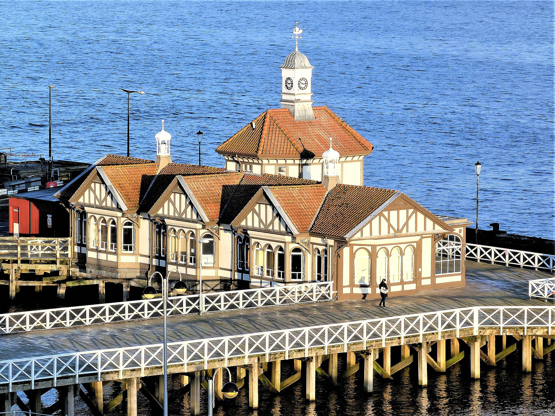
Fortified place · Medieval
Dunoon Castle
Argyll and Bute
A royal stronghold fought over by kings, besieged with English ships and troops, and hosted Mary, Queen of Scots for three days in 1563.
- Near Dunoon
- Some walking

Sacred place · Prehistoric
Granny Kempock Stone
Inverclyde
A weathered mica-schist pillar above a shopping street carries a rare double legacy: a supposed Bronze Age (roughly 2500–800 BC, when metal tools f…
- Some walking
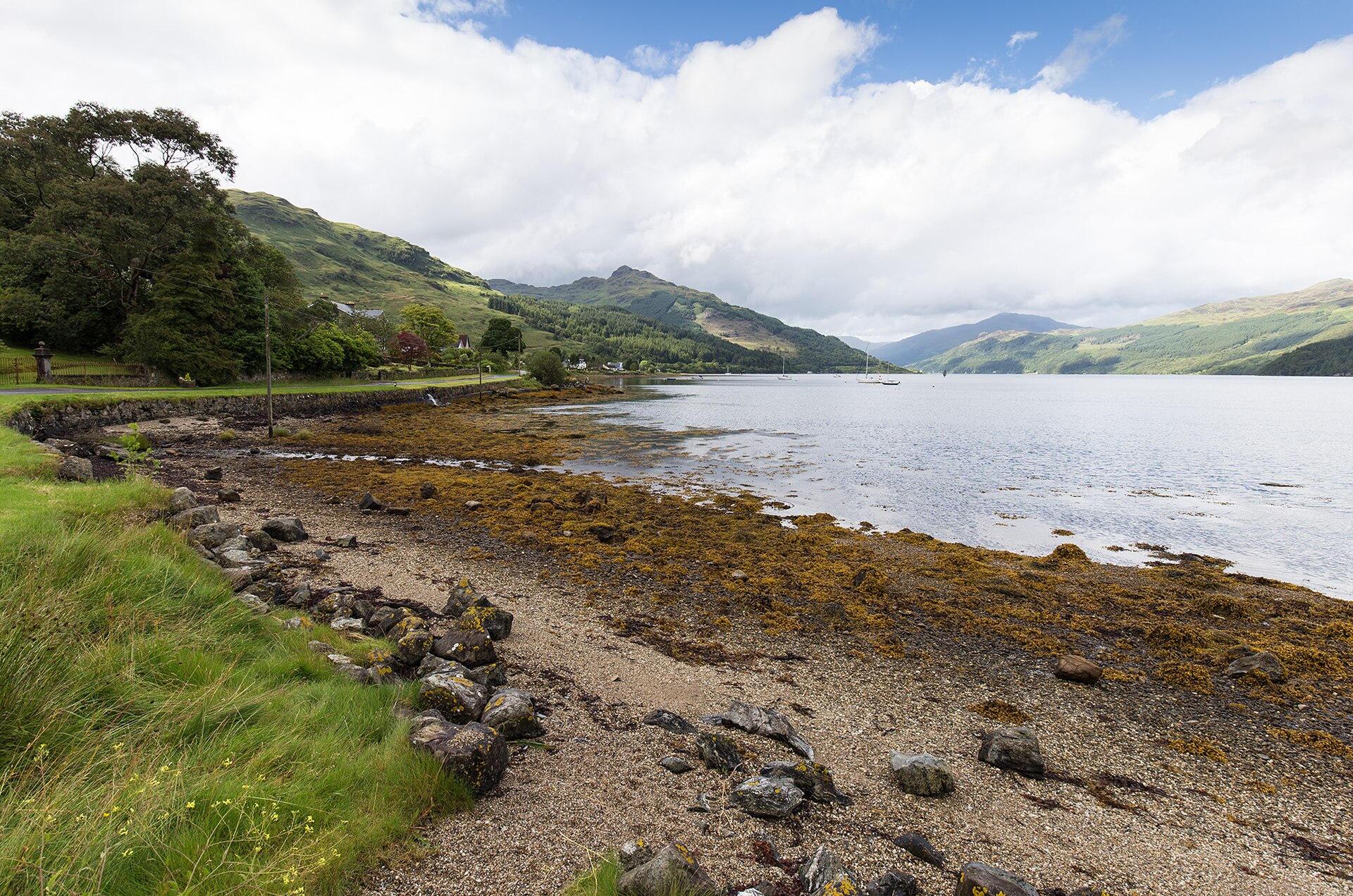
Fortified place · Medieval
Carrick Castle
Argyll and Bute
A Campbell stronghold built on a rock in Loch Goil, hosted a hunting king and a queen's overnight stay, then was deliberately burned by a Royal Nav…
- Near Carrick Castle
- Some walking
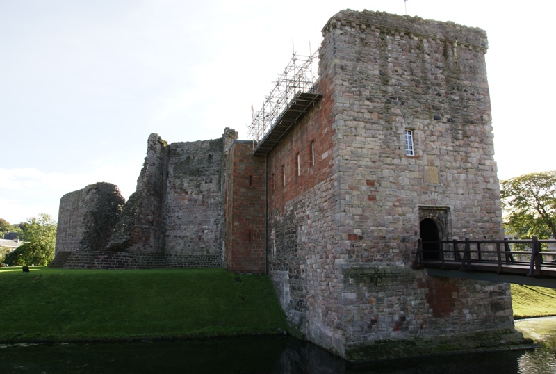
Fortified place · Medieval
Rothesay Castle
Argyll and Bute
A huge circular curtain wall, some 42 metres in diameter and originally around 7.9 metres high, still stands on a low mound above the town of Rothe…
- Some walking
Questions people ask
- What is the cromlech at Ardnadam Farm?
- A Neolithic burial chamber of upright slabs and a capstone, standing in farmland near Loch Loskin on the Cowal peninsula. Canmore records it as Adam's Grave.
- Why is it linked to a king called Adam?
- Local tradition held that the chamber was the grave of a king named after Adam, and the farm's name is said to derive from that story. The tradition cannot now be separated from the place name.
- Was it really a Druidical altar?
- No. Nineteenth-century antiquarians read the exposed slabs that way, but the interpretation reflects how megalithic remains were understood at the time rather than any evidence from the site.
- What else has been found at Ardnadam?
- A separate site nearby, excavated by E. B. Rennie between 1975 and 1982, produced a Neolithic hearth dated to 4740 BP, an Iron Age roundhouse and earthen enclosure, a drystone chapel with about forty graves, and medieval structures including a bloomery hearth.
- Is anything of the monument marked locally?
- Cromlech Road in Sandbank, running between Ferry Road and the A885 High Road, carries the name.
Sources
- Wikipedia: Ardnadam Farm
- West of Scotland Archaeology Service — Ardnadam, WoSAS Pin 5324
- Rennie, E B, Excavations at Ardnadam, Cowal, Argyll, 1964–1982
- Wikidata: Q123058438
Explore more: Sacred places · Prehistoric · Argyll and Bute
The Ancient Codex, in your pocket
Get the Pocket Codex app
Carry the directory with you — Ardnadam Farm and thousands of ancient places across Britain and Ireland, offline, wherever you roam.