
Three stone causeways lace across Loch an Sticir on North Uist, carrying a single line of dry ground from the B893 road to a broch (a tall circular tower of unmortared stone, found only in Scotland) built on a tiny island roughly 800 metres south of Newtonferry. The name explains the choice of site: dun an sticir combines the Gaelic dun, a fortress, with sticir, a skulker, giving Fort Skulker — a place built for withdrawal rather than display. It was only in the second half of the twentieth century that the structure was recognised as a broch rather than simply a later dun or hall.
Three stone causeways lace across Loch an Sticir on North Uist, carrying a single line of dry ground from the B893 road to a broch built on a tiny island roughly 800 metres south of Newtonferry. The name explains the choice of site: dun an sticir combines the Gaelic dun, a fortress, with sticir, a skulker, giving Fort Skulker — a place built for withdrawal rather than display. It was only in the second half of the twentieth century that the structure was recognised as a broch rather than simply a later dun or hall.
Raised sometime between 100 BC and AD 100, in the same period as most Hebridean brochs, the tower originally measured 18 metres across, with walls 3.5 metres thick and, in places, still a little over 3 metres high. In the Middle Ages its circular interior was reworked into a rectangular hall 10 metres by 4.6 metres, its entrance enlarged, a window added, and outbuildings raised around it, including a larger building on the neighbouring island of Eilean na Mi-Chomhairle.
The dun’s best-documented occupant is Hugh MacDonald of Sleat, Factor to North Uist in the 1580s, who fled here in 1586 after a plot to murder his cousin was discovered — putting the fortress’s name to literal use. He is recorded as inhabiting Dun Sticir in 1602, before his eventual capture and death on Skye.
What follows is drawn from published sources, with each claim labelled by how firmly it is established.
The name
The name combines the Gaelic dun, meaning fortress, with sticir, meaning skulker, giving Fort Skulker. It has also been recorded in the misspelled forms Dun an Sticer and Dun an Sticar. Although the site had long been known by this name, it was only in the second half of the twentieth century that it became clear the structure was in fact a broch.
History
Dun an Sticir was probably built in the Iron Age, between 100 BC and AD 100, like most brochs in the Hebrides. Limited excavation at the site has produced finds of pottery, though no extensive dig has taken place. The broch is thought to have remained in use through the Viking period, before being substantially remodelled in the centuries that followed.
By the Middle Ages the broch had been converted into a rectangular hall, or small tower: its entrance was enlarged, a window was built into the wall, and outbuildings were added around it. A larger building was raised on the neighbouring island of Eilean na Mi-Chomhairle, and the causeway linking that island to the north shore of the loch was widened to three metres so that carts could reach it.
In the 1580s Hugh MacDonald of Sleat — known in Gaelic as Ùisdean MacGilleEasbuig Chlèirich, son of Hugh the Clerk — held the position of Factor to North Uist. In 1586 he hatched a plan to murder his cousin, Donald Gorm, 8th Chief of the Macdonalds of Sleat; when the plot was discovered he fled to Dun an Sticir, putting the fortress's island setting and its 'skulker' name to direct use. Hugh MacDonald is recorded as inhabiting Dun Sticir in 1602. He was eventually captured while trying to escape a siege of his own castle, Caisteal Uisdean, on Skye. As punishment, he was starved to death in the dungeon of Duntulm Castle, also on Skye.
People
-
Hugh MacDonald of Sleat
Factor to North Uist in the 1580s who fled to Dun an Sticir in 1586 after a plot against his cousin was discovered, is recorded as inhabiting the dun in 1602, and was later captured and starved to death at Duntulm Castle on Skye.
Cultural influences
-
The Iron Age broch was remodelled as a rectangular hall with outbuildings during the Middle Ages.
Connections
-
Eilean na Mi-Chomhairle
Neighbouring island, its name meaning 'Island of Bad Council', reached by causeway and site of a larger building added during the medieval reoccupation of Dun an Sticir.
-
Caisteal Uisdean, Skye
Hugh MacDonald's own castle, where he was captured while trying to escape a siege after fleeing Dun an Sticir.
-
Duntulm Castle, Skye
Where Hugh MacDonald was starved to death in the dungeon following his capture.
Discovery & excavation
Limited excavation at the site has produced finds of pottery, though no extensive dig has taken place.
What to look for
-
The broch walls
The broch measures 18 metres in diameter, with walls 3.5 metres thick that in places still stand a little over 3 metres high.
-
The medieval rectangular hall
The broch's circular interior was reworked in the Middle Ages into a rectangular room 10 metres by 4.6 metres, set on a northeast–southwest axis, with two 1.1-metre-wide entrances in its northwest and southwest walls; the wall at the southwestern entrance is 2.5 metres thick.
-
The causeways
Three stone causeways connect the dun to the mainland by way of Eilean na Mi-Chomhairle — a wide one from the north, a smaller one from the south, and a third curving east to the broch's own island — all partially submerged at high tide.
-
Eilean na Mi-Chomhairle
The larger neighbouring island, whose name means 'Island of Bad Council', carries the remains of a building added during the medieval reoccupation of the site.
Plan your visit
- Location
- 57.6815°N · 7.2078°W
- Access
- Open access
- Terrain
- Moderate walking
- Time needed
- About 90 minutes
Nearby places
Tomb or burial place · Prehistoric
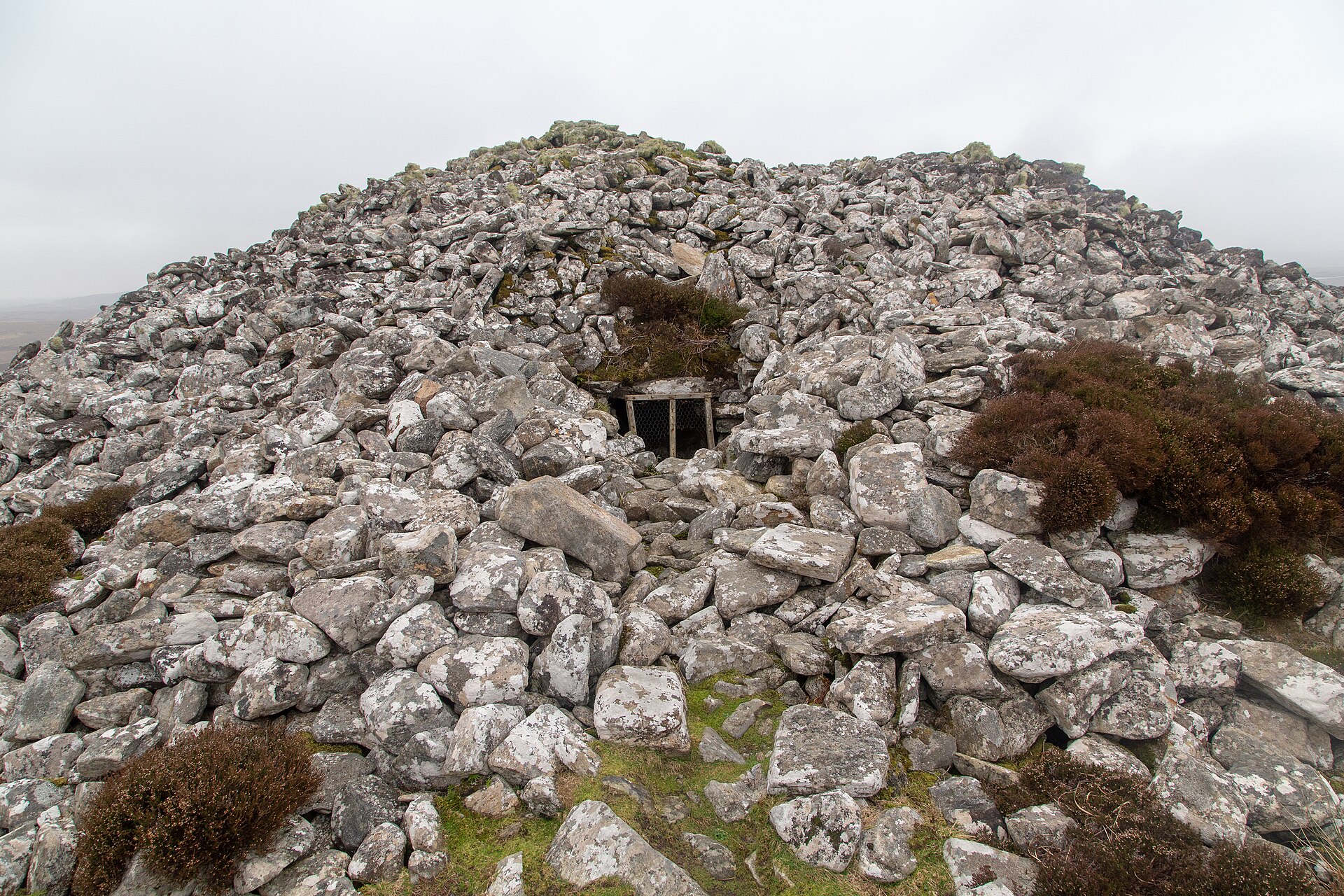
Barpa Langass
Outer Hebrides
Two massive slabs form the roof of Barpa Langass, with a third slab laid on top of them, capping a stone burial mound on the Isle of North Uist tha…
- Easy path

Sacred place · Prehistoric
Pobull Fhinn
Outer Hebrides
At least two dozen stones stand in an oval on the south side of Ben Langass on North Uist, eight of them on the northern arc and sixteen on the sou…
- Easy path

Tomb or burial place · Prehistoric
St Clement's Church, Rodel
Outer Hebrides
Three generations of MacLeod chiefs are buried in the walls of this building, in tombs they had prepared for themselves while alive. The church at…
- Near Rodel
- Easy path

Fortified place · Medieval
Borve Castle, Benbecula
Outer Hebrides
On the machair at the south-west tip of Benbecula, in the Western Isles, the ruined shell of a three-storey tower house stands with its north wall…
The setting
Near Dun an Sticir, about 7 metres away.
Photo: PaulT (Gunther Tschuch) / Wikimedia Commons / CC BY-SA 4.0
Near Dun an Sticir, about 68 metres away.
Photo: PaulT (Gunther Tschuch) / Wikimedia Commons / CC BY-SA 4.0
Near Dun an Sticir, about 117 metres away.
Photo: PaulT (Gunther Tschuch) / Wikimedia Commons / CC BY-SA 4.0
Questions people ask
- What does the name Dun an Sticir mean?
- It combines the Gaelic dun, meaning fortress, with sticir, meaning skulker, giving Fort Skulker. It was only in the second half of the twentieth century that the structure was identified as a broch rather than simply a dun.
- How old is Dun an Sticir?
- The broch was probably built between 100 BC and AD 100, in line with most Hebridean brochs, and is thought to have remained in use through the Viking period before being remodelled into a hall in the Middle Ages.
- How do you get to Dun an Sticir?
- The dun stands on a small island in Loch an Sticir on the east side of the B893, 0.8 kilometres south of Newtonferry. It is reached on foot via a series of stone causeways connecting the island to the mainland by way of Eilean na Mi-Chomhairle; these causeways can be partially submerged at high tide.
- Who is associated with Dun an Sticir's later history?
- Hugh MacDonald of Sleat, Factor to North Uist in the 1580s, fled to Dun an Sticir in 1586 after a plot to murder his cousin Donald Gorm was discovered. He is recorded as inhabiting the dun in 1602, and was later captured and starved to death in the dungeon of Duntulm Castle on Skye.
- What survives of the medieval conversion of the broch?
- In the Middle Ages the broch's interior was converted into a rectangular hall measuring 10 by 4.6 metres, its entrance was enlarged, a window was added, and outbuildings were built, including a larger structure on Eilean na Mi-Chomhairle.
Sources
- Dun an Sticir, Wikipedia
- Media related to Dun an Sticir, Wikimedia Commons
Explore more: Fortified places · Iron Age · Outer Hebrides
The Ancient Codex, in your pocket
Get the Pocket Codex app
Carry the directory with you — Dun an Sticir and thousands of ancient places across Britain and Ireland, offline, wherever you roam.