
A drained loch bed south of Breachacha Castle on Coll still holds an artificial island whose stonework and mysterious dug pits have never been fully explained.
Coll’s arable field contains a flattened oval rise of stone and earth about two metres high, approached from the east over marshy ground. It is a crannog, an artificial island built out into a loch to give its occupants distance from the shore.
The loch that surrounded it, called Poll nam Broig, was drained in 1875, and the field that replaced it has swallowed almost every trace of how the site once worked. There is no sign of a causeway, jetty, or harbour, no protruding timbers, and no walling, only the mound itself, built from stones that appear to be of local origin rather than carried from elsewhere.
What draws attention today is not the mound alone but the marks cut into the ground around it: five semicircular pits on its east, south and south-west sides, whose age and purpose remain unresolved. Their absence from earlier written accounts of the island is the main clue anyone has to when, and why, they were made.
What follows is drawn from published sources, with each claim labelled by how firmly it is established.
History
Long before the surrounding ground was farmland, the crannog stood within a loch known as Poll nam Broig, an artificial island of stone and earth rising from the water. Calculations by the surveyor Mark W. Holley suggest that when the loch held its maximum level, the mound would have sat roughly 30 metres from the nearest shore, reachable only by boat or by a causeway that has since left no trace.
In 1875 the loch was drained, converting Poll nam Broig into an arable field and leaving the crannog standing above ground for the first time in its history. The mound's crown, which corresponds to the former maximum water level worked out by Holley, still stands about a metre proud of the old loch bed, a reminder of how much the surrounding landscape has changed since the mound was built.
In the early twentieth century the antiquary Erskine Beveridge surveyed sites across Coll but recorded nothing unusual about the crannog beyond its presence, making no mention of the pits later noted nearby, nor of any excavation having taken place there. His silence on the subject became the main evidence later surveyors used to judge when the disturbance around the mound occurred.
When Mark W. Holley surveyed the crannog in 1995 he measured a stone and earth mound some 26 by 21 metres at its base, narrowing to 16 by 11 metres across its flattened top, and standing about 2 metres high. He also identified five semicircular pits cut into the ground on the east, south and south-west sides, concluding from Beveridge's earlier silence that they were dug relatively recently rather than being ancient features.
People
-
Mark W. Holley
Surveyed the crannog in 1995, recording its dimensions and identifying the five semicircular pits around its base.
-
Erskine Beveridge
Early 20th-century antiquary whose survey of Coll made no mention of the crannog's pits or any excavation there.
Cultural influences
-
Crannog settlement tradition
Breachacha belongs to the Scottish tradition of artificial-island settlement, its original relationship to water obscured when Poll nam Broig was drained.
Connections
-
Breachacha Castle
The crannog stands about a kilometre south of Breachacha Castle, within the same loch-side landscape on Coll.
-
Poll nam Broig
The crannog formerly stood in Poll nam Broig, a loch drained in 1875 and now an arable field. The former water level is still legible in the mound’s raised crown, explaining why this artificial island now appears as an earthwork on dry land.
Discovery & excavation
Mark W. Holley's 1995 survey is the only documented investigation of the site. It identified five unexplained pits around the mound rather than any formal excavation, and no dig has otherwise been recorded there.
What to look for
-
The flattened mound
An oval mound of stone and earth, about 2 metres high, measuring some 26 by 21 metres at its base and narrowing to 16 by 11 metres across its flattened top.
-
The unexplained pits
Five semicircular pits dug into the ground on the crannog's east, south and south-west sides, thought to be relatively recent since earlier surveys make no mention of them.
-
The former loch bed
The surrounding arable field marks the drained bed of the former Poll nam Broig loch, still marshy underfoot and accessible only from the east.
-
The extent of the scheduling
Historic Environment Scotland scheduled the site on 5 October 1970 under the title "Loch Breachacha, crannog", classing it as prehistoric domestic and defensive work. The protected area covers roughly 700 square metres in the parish of Coll — the mound and a narrow margin, not the drained loch bed around it.
Plan your visit
- Location
- 56.5828°N · 6.6332°W
- Nearest settlement
- Arinagour
- Access
- Open access
- Terrain
- Rough ground — reasonable boots advised
- Time needed
- About 45 minutes
- Best time
- Dry daylight, after checking ground conditions in the former loch bed.
- What survives
- A flattened artificial-island mound survives in drained, often marshy farmland.
- Facilities
- No visitor facilities are recorded.
Opening & admission
This is an unstaffed archaeological site with no visitor facilities, so there is no admission charge or booking involved.
- Reached only from the east, across marshy, arable field ground — sturdy footwear recommended
- No car park, causeway, or path is documented
Nearby places

Fortified place · Medieval
Dùn an Achaidh
Argyll and Bute
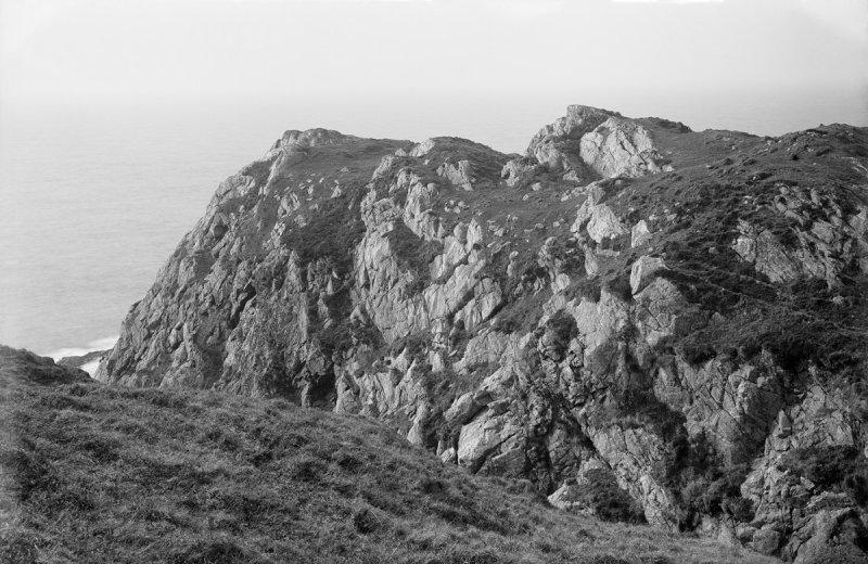
Scorch marks still visible on its foundations appear to confirm a local legend of islanders burning out a tyrannical Norse chief's son from Coll's…
- Near Acha
- Rough ground
Fortified place · Iron Age
Dùn Dubh
Argyll and Bute
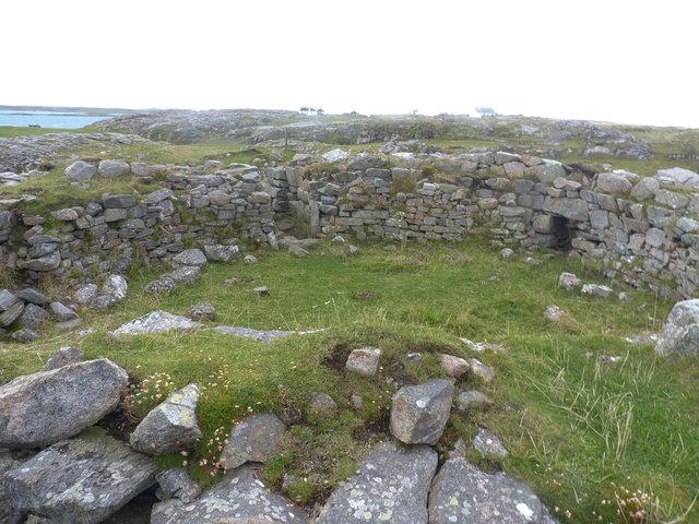
The name Dùn Dubh renders from Scottish Gaelic as "the black dun", and the early 20th-century antiquary Erskine Beveridge counted it among the four…
- Near Arinagour
- Rough ground
Fortified place · Iron Age
Dun Mor Vaul
Argyll and Bute
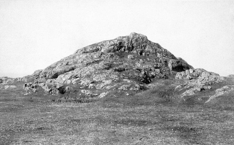
A drystone tower with an internal diameter of 9.2 metres and walls roughly 4.5 metres thick stands on a rocky knoll on the northern coast of Tiree,…
- Near Balemartine
- Some walking
Fortified place · Iron Age
Dùn Morbhaidh
Argyll and Bute
Two potsherds incised with the figures of deer, lifted from Dùn Morbhaidh and now kept in the National Museum of Antiquities of Scotland, are among…
- Near Gallanach
- Rough ground
Questions people ask
- What is a crannog?
- An artificial or artificially modified island, usually built from stone and earth, historically used as a dwelling site set apart within a loch.
- Where is the Breachacha crannog located?
- About a kilometre south of Breachacha Castle on the Inner Hebridean island of Coll, in a field that was once the bed of a loch.
- Why is the crannog no longer surrounded by water?
- The loch it stood in, Poll nam Broig, was drained in 1875, leaving the mound standing in what is now an arable field.
- What are the pits around the mound?
- Five semicircular pits on the east, south and south-west sides, believed to be relatively recent since earlier antiquarian surveys did not record them.
- Is the site protected?
- Yes, it is a scheduled monument, the legal designation given to nationally important archaeological sites in Scotland.
Sources
- Wikipedia: Breachacha crannog
- Wikidata
- Historic Environment Scotland designation SM2936: Loch Breachacha,crannog (accessed 2026-08-03)
Explore more: Settlements · Medieval · Argyll and Bute
The Ancient Codex, in your pocket
Get the Pocket Codex app
Carry the directory with you — Breachacha crannog and thousands of ancient places across Britain and Ireland, offline, wherever you roam.