
On the shore of the Solway Firth, near where the Kirtle Water empties into the estuary, a single weathered granite boulder stands roughly 7 feet tall and 18 feet in girth, weighing around 10 long tons. It is a glacial erratic, scoured by severe ice action, and on the flat, treeless expanse of the Solway Plain its bulk would have made it a conspicuous landmark for several millennia. This is the Lochmaben Stone, at grid reference NY 3123 6600 in Dumfries and Galloway.
On the shore of the Solway Firth, near where the Kirtle Water empties into the estuary, a single weathered granite boulder stands roughly 7 feet tall and 18 feet in girth, weighing around 10 long tons. It is a glacial erratic, scoured by severe ice action, and on the flat, treeless expanse of the Solway Plain its bulk would have made it a conspicuous landmark for several millennia. This is the Lochmaben Stone, at grid reference NY 3123 6600 in Dumfries and Galloway.
The stone is not solitary by accident. It and a smaller companion stone, now standing about a metre high in a hedge to the north-east, are the last survivors of a stone circle raised around 3275 BC. The first-edition Ordnance Survey map recorded the site as a “Druidical circle (Remains of)”, once composed of nine uprights set in an oval enclosing about half an acre. Most of those stones were cleared to allow ploughing.
What sets the Lochmaben Stone apart, in the Borders context, is the sheer weight of recorded history attached to it. Its name preserves the memory of the Celtic god Mabon, and across the centuries it served as a fixed marker on the Scottish Marches: a place where armies mustered, prisoners were exchanged, truces arranged, and the Wardens of the West March met to settle disputes.
What follows is drawn from published sources, with each claim labelled by how firmly it is established.
The name
The stone appears in the record as Clochmabenstane in 1398, Loumabanestane in 1409, and Lochmabenstane in 1448. The name derives from the Brittonic clog Mabon, meaning "Mabon's stone", referring either to the god Mabon or to an individual bearing his name. The Scots word stane was later suffixed and the initial C dropped, through confusion with the town name Lochmaben. The stone may also be the "pillar" behind the name Solway Firth, from the Norse Súlvaðfjǫrðr, "estuary of the pillar ford".
History
Around 3275 BC a circle of large stones was raised on the Solway shore, enclosing an oval of roughly half an acre. This date rests on a radiocarbon reading from mixed oak and hazel charcoal recovered from the lower fill of the principal stone's pit, as reported by Aubrey Burl. The Lochmaben Stone itself is a glacial erratic of weathered granite, and its size made it a landmark on the flat plain long before the circle was built around it.
The stone's name carries the memory of the Celtic god Mabon or Maponus, from map, the Old Welsh for "son of", suggestive of a divine youth. He is said to have been the patron of the Kingdom of Rheged, and dedications to his cult have been found at Birrens, Brampton, Chesterholm (Vindolanda), Corbridge and Ribchester. The Romans equated him with Apollo. Sometime in the seventh century a monk at the monastery of Ravenna compiled a list of towns and road-stations across the Roman Empire, the document now known as the Ravenna Cosmography, which lists a 'Locus Maponi' tentatively identified with this site.
By the later medieval period the stone had become a well-recognised marker on the Scottish Marches, treated by the Scots as the southernmost limit of their realm. Raiding parties gathered here before crossing into England, and Scottish armies assembled at the stone before major incursions or defensive operations; an army was ordered to muster here as late as 6 February 1557. It may earlier have served as a tribal assembly point.
In 1398 the stone hosted a cluster of border business. An exchange of prisoners took place when the Dukes of Rothesay and Lancaster, representing Scots and English, met here and released their captives without ransom, with any ransoms already paid to be returned. In the same year an indenture was made at "Clochmabenstane" for the men of Tyndale and Redesdale to meet from Whitsunday to Michaelmas at Kershope Bridge, and a further agreement had the men of Galloway, Nithsdale, Annandale and Crawford Muir meet the Wardens of the West March here for redress of claims.
In 1473 the Scottish and English ambassadors agreed that the Marcher Wardens should meet more frequently at six recognised sites on the marches: Newbyggynfurde, Redaneburn, Gammyllispethe, Belle, Loumabanestane and Kershopebrig, the meetings rotating through these venues. On 26 March 1494 the commissioners of both countries met at the stone to settle the long-running dispute over the "Fish Garth" across the River Esk. A sixteenth-century reference records "Loughmaben Stone standyng in Scotland, wher we have beyn accustomyd to keipe days of marches."
In the 1800s the tenant of Old Graitney farm set his farmhands to bury the three remaining stones, which spoiled his field and obstructed his machinery. One had been completely buried and another partly sunk when the proprietor, Lord Mansfield, arrived and halted the work. The stone continued to serve as a local gathering place into comparatively recent times.
In 1982 the stone fell over. Excavations before its re-erection showed it had been set into a shallow pit; no artefacts were recovered, though the charcoal from the lower fill supplied the radiocarbon date. Later a local tradition held that a farm worker moved the stone with an excavator in search of "treasure" beneath it. The local primary school attended an official re-erection ceremony, reported by the Dumfries and Galloway Standard on 22 September 1995.
People
-
Mabon (Maponus)
The Celtic god whose name the stone preserves; a divine youth said to have been patron of the Kingdom of Rheged, equated by the Romans with Apollo.
-
Aubrey Burl
Authority cited for the radiocarbon date of approximately 3275 BC obtained from charcoal in the stone's pit.
-

Portrait: Jean-Baptiste van Loo / Wikimedia Commons / Public domain Lord Mansfield
The proprietor who arrived and stopped the burial of the stones by the tenant of Old Graitney farm in the 1800s.
-
Dukes of Rothesay and Lancaster
Scots and English representatives who met at the stone in 1398 to exchange prisoners without ransom.
Cultural influences
-
The Lochmaben Stone’s conspicuous position on the Solway Plain made it a meeting point on the Scottish Marches for musters, truces, prisoner exchanges and border dispute settlement.
Connections
-
Kingdom of Rheged
The early medieval British kingdom of which Mabon was said to be the divine patron.
-

Photo: Konrad Miller / Wikimedia Commons / Public domain Ravenna Cosmography
Seventh-century list of Roman towns and road-stations whose 'Locus Maponi' has been tentatively identified with this site.
-
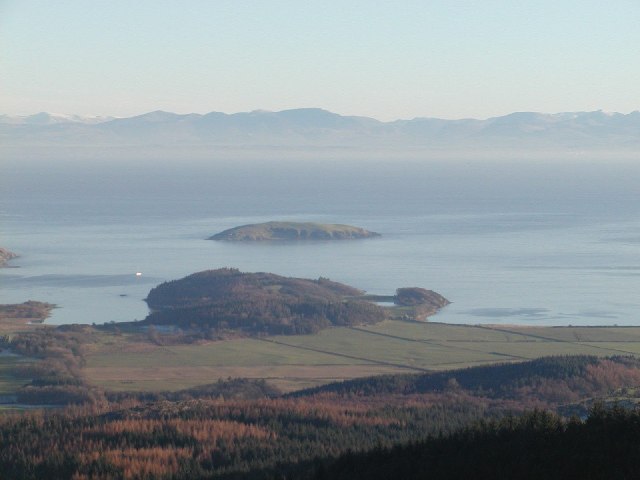
Photo: Simon Brooke / Wikimedia Commons / CC BY-SA 2.0 Solway Firth
The estuary on whose shore the stone stands; its Norse-derived name may refer to the stone as the "pillar" of the pillar ford.
-
Kershope Bridge (Kershopebrig)
One of the six recognised March meeting-sites named alongside the stone in the 1473 agreement.
Discovery & excavation
The stone's setting was investigated when it fell over in 1982 and excavations were carried out prior to its re-erection. These showed the megalith had been set into a shallow pit. No artefacts were recovered, but a sample of mixed oak and hazel charcoal from the lower fill of the stone-pit yielded a radiocarbon date of approximately 3275 BC according to Aubrey Burl. Earlier antiquarian record came from the first-edition Ordnance Survey and the 1845 New Statistical Account, both noting a ring of stones since largely removed for ploughing.
In culture
-
Merlin at the Clochmabenstane
The writer Nikolai Tolstoy interpreted Merlin as a chief druid carrying out ceremonies at the Clochmabenstane, linking the site to the legendary figure.
What to look for
-
The principal megalith
A weathered granite erratic about 7 feet (2.1 m) tall and 18 feet (5.5 m) in girth, weighing roughly 10 long tons, bearing the marks of severe glacial action.
-
The surviving companion stone
A second stone about 1 m high and 1.2 m in diameter, standing in a less conspicuous position in the hedge to the north-east, the only other visible remnant of the circle.
-
The Solway shore setting
The flat, treeless Solway Plain by the mouth of the Kirtle Water near Gretna, where the stone's size made it a distinctive landmark for millennia.
What is said
Folklore and tradition, recorded as what is said — not as established fact.
-
Treasure beneath the stone
Local tradition holds that a farm worker moved the stone with an excavator, the intention being to locate "treasure" said to lie buried beneath it.
-
A druidical circle
The site was long known locally as a "Druidical circle", and it is said that the cult of the god Mabon centred here, with the stone as its focus.
Plan your visit
- Location
- 54.9839°N · 3.0761°W
- Nearest settlement
- Newton Stewart
- Access
- Open access
- Terrain
- Easy going
- Time needed
- About 45 minutes
Nearby places
Building or ruin · Roman
Milecastle 74
Cumbria
It stands in Burgh Marsh, a stretch of the Solway where no remains of Hadrian's Wall are known at all: so the milecastle is placed by measuring bac…
- Near Gilsland
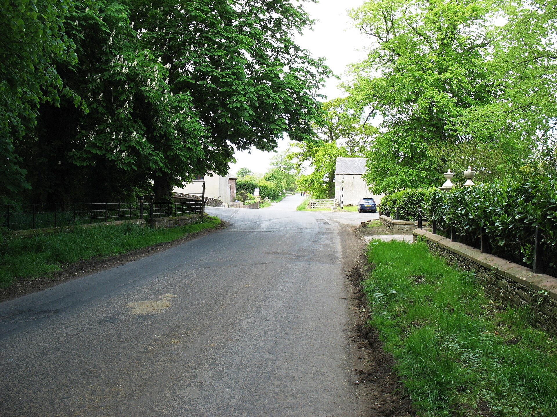
Building or ruin · Roman
Milecastle 73
Cumbria
Nothing shows above the pasture today, yet a geophysical survey found an entire cluster of enclosures and a road pressed into the ground beside the…
- Near Gilsland
Building or ruin · Roman
Milecastle 72
Cumbria
Nothing of Milecastle 72 shows above the turf today, yet three separate digs pieced together a full building sequence from turf fort to stone, down…
- Near Gilsland
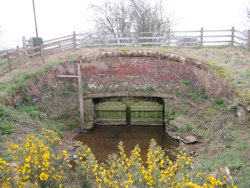
Building or ruin · Roman
Milecastle 75
Cumbria
A gatehouse the Roman army certainly built and certainly manned, yet one that has left no trace at all: its site reconstructed only by counting mil…
- Near Gilsland
Questions people ask
- How old is the Lochmaben Stone?
- The stone circle it once belonged to was built around 3275 BC, a date derived from radiocarbon analysis of oak and hazel charcoal found in the lower fill of the stone's pit. The megalith itself is a much older glacial erratic.
- What does the name Lochmaben Stone mean?
- It comes from the Brittonic clog Mabon, "Mabon's stone", after the Celtic god Mabon (Maponus). The Scots word stane was later added and the initial C dropped through confusion with the town name Lochmaben. Earlier forms include Clochmabenstane (1398) and Loumabanestane (1409).
- Why was the stone important on the Scottish Marches?
- For centuries before the Union of the Crowns it was a fixed, easily located marker on the West March. Armies mustered here, raiding parties gathered before crossing into England, prisoners were exchanged, and the Wardens and Commissioners of both realms met to arrange truces and settle disputes.
- Is more than one stone left from the circle?
- Yes. The Ordnance Survey Name Book records a circle of nine uprights, of which two remain visible: the principal Lochmaben Stone and a smaller stone about 1 m high standing in a hedge to the north-east. Most of the others were removed to allow ploughing.
- Did the stone ever fall down?
- It fell over in 1982 and was re-erected after excavation of its pit. A later local tradition says a farm worker had moved it with an excavator in search of treasure. A local primary school attended an official re-erection ceremony reported by the Dumfries and Galloway Standard on 22 September 1995.
Sources
- Lochmaben Stone — Wikipedia
- Wikidata: Lochmaben Stone (Q6665147)
- Crone, Anne (1983). The Clochmabenstane, Gretna. Transactions of the Dumfriesshire and Galloway Natural History and Antiquarian Society, II (58): 16-20
- Mack, James Logan (1926). The Border Line. Edinburgh and London: Oliver and Boyd
Explore more: Sacred places · Prehistoric · Dumfries and Galloway
The Ancient Codex, in your pocket
Get the Pocket Codex app
Carry the directory with you — Lochmaben Stone and thousands of ancient places across Britain and Ireland, offline, wherever you roam.